
Chiang Rai: villages and landscape of the Kok River “valley”
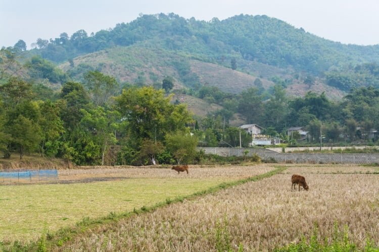
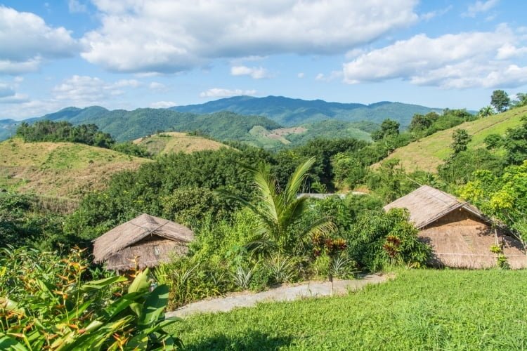
The river “valley” Kok corresponds to the whole mountainous area located west of Chiang Rai, along the river Kok. There are many charming villages in the middle of the rice fields, but also mountain tribe villages scattered in the heights.
It is relatively unvisited, as most people are content with a visit to the temples of Chiang Rai, a jump to the golden triangle and leave for other places. The other reason being that unless you have a vehicle, it is unlikely that you will be able to visit this area on your own.
I would like to point out that this is not an official name.but the road leading there runs along the river, and the places to visit are all within 10 km of the river, so I had to clearly define this whole area, which is quite large in itself, since it covers the mountain of Two Groin on the right bank (south) and Mae Yao for the left bank (north).
So here is a small selection of points of interest to see, just to make you want to go and take a look and spend a day exploring!
Boat along the Kok River (Thaton – Chiang Rai)
And I'll start with the main thing. The river itself. River Kok originates in Burma and arrives from Thaton, a small town located in the neighboring province of Chiang Mai. IIt is possible to sail by boat between Chiang Rai and Thaton (and vice versa) when the water level allows it. For this, two choices are made:
- The quick version, which implies no stops, but also the privatization of the boat, therefore a higher cost, normally around 2 Learn More
- The slow version, a sort of floating bus that will stop at several quays in villages along its route. In this case the cost is normally 350 Learn More (a minimum of 4 passengers may be required to depart)
You need to have time to do this river trip because It takes 5 hours to travel from Chiang Rai to Thaton., because we are then going against the current, while this duration is reduced to 3h in the direction Thaton – Chiang Rai, taking advantage of the direction of the current. The Kok River continues its course towards the east of Chiang Rai until it flows into the Mekong near Chiang Saen.
To give you an idea of the distance, by land, Chiang Rai – Thaton is 90 km for a journey time of about 1h30. But this peaceful crossing along the water allows you to navigate through the mountains, crossing here and there villages housing various ethnic groups, often Akha or Karen. In addition, Thatton is not without interest and constitutes a possible stage to then reach Chiang Mai via a road less frequented by tourists (my suggestion in this case would be to then stop at Fang and go up to Doi Ang Khan and/or to Chiang Dao before finishing your “northern” journey in Chiang Mai).


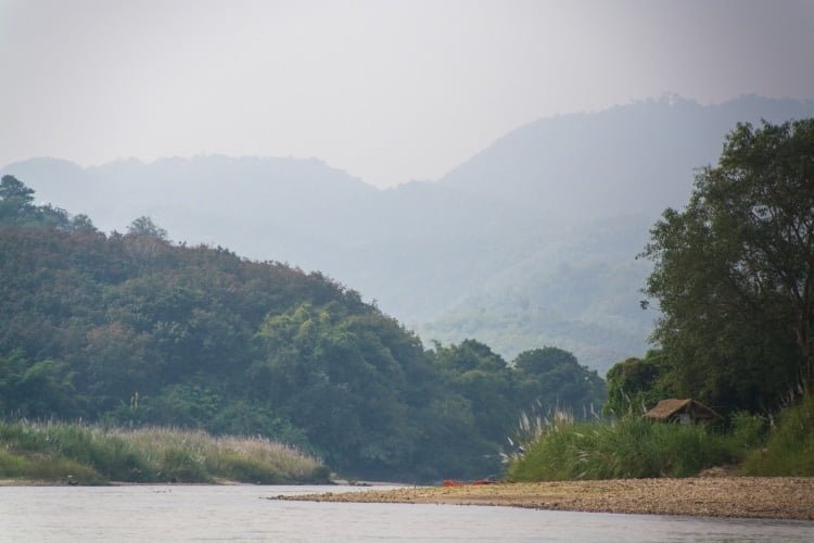

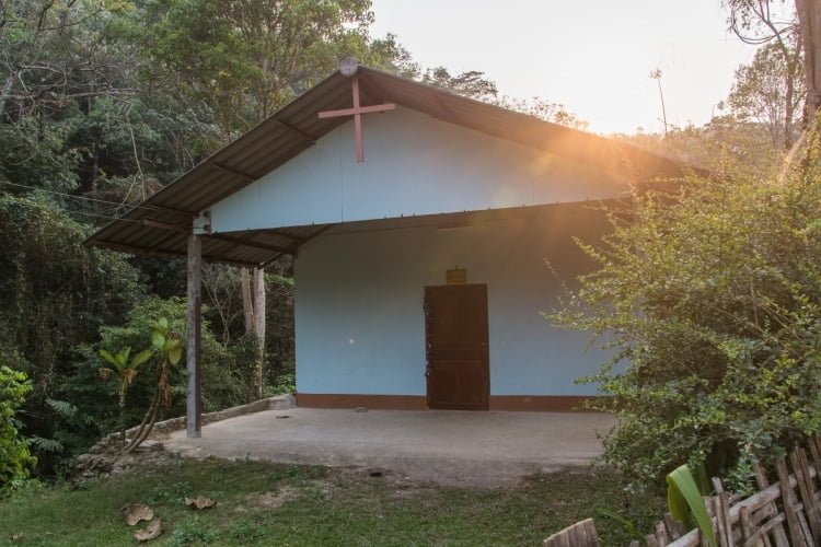
If you don't have that much time but still want to take a boat ride along the river, that's also possible. Usually the boats offer to go to the Karen village of Ruammit (where there are elephants but for rides in baskets...) before returning. The price in this case is 1 Bahts round trip, including a stop at the village for as long as you normally want. This is an opportunity to see the local crafts (mainly weaving) and its small church.
Wat Huay Pla Kang
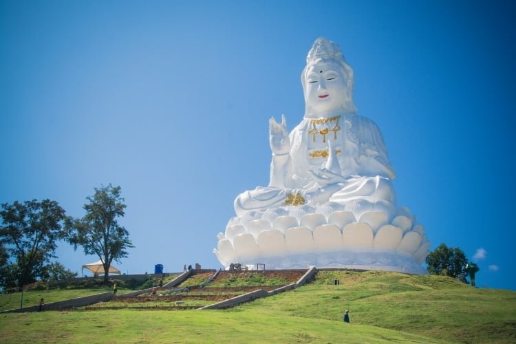
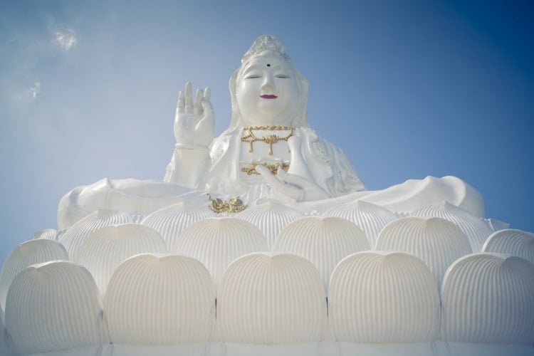
Wat Huay Pla Kang, also known as the 9-tier temple, is a Buddhist temple of Chinese influence (it is said to have been initiated by the community of the region), starting with its imposing statue of the goddess Guanyin (goddess of mercy), often mistaken for a Buddha statue.
Some people criticize the site for being too commercial and modern, because in fact, there was nothing on this hill in 2002. A few years later, this Chinese-style pagoda first appeared, with 9 floors, giving the temple its nickname (the number 9 being a symbol of longevity for the Chinese).
But his real fame came with the completion in 2017 of the large white statue of Guanyin, which, without knowing the official figure, would be 90m high, an estimate that I make knowing that there are 25 floors.
It is also possible to access it from the inside via a paying elevator, 40 Learn More (the stairs are currently not accessible). You then have a breathtaking view of the surrounding countryside and mountains.
To approach the statue, you can choose to take the massive stairs lined with Chinese dragons, or use the free “hello kitty” shuttle (yes, really!) provided.
If you are not keen on paying anything, the view from the top of the 9-story pagoda is already pretty good. The interior is bathed in slightly repetitive music but decorated with beautiful wooden statues, the main one being at least 8-9m high.
Finally, a building next to the pagoda is more reminiscent of local architecture, but instead of being all colorful as is the trend in the Lanna style, here we have a refined all-white style.
Located 8 km from the center of Chiang Rai, accessing the site by yourself is not necessarily easy because there is no public transport in the immediate vicinity. You will have to call one of the city's blue songthaews to get here, failing to have your own transport.


Wat Tham Phra (Buddha Cave Temple)
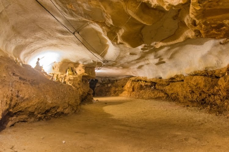
As the name suggests, this is a small temple with a prayer area set up in a cavity at the foot of a cliff. The link is not unmissable, but if like me you are a little curious and want to get away from more traditional visits, this small temple has a certain appreciable tranquil aspect.


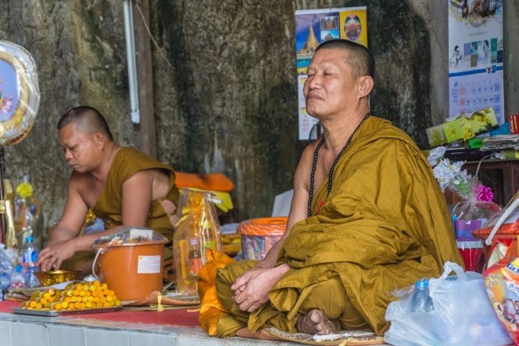

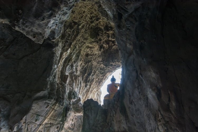
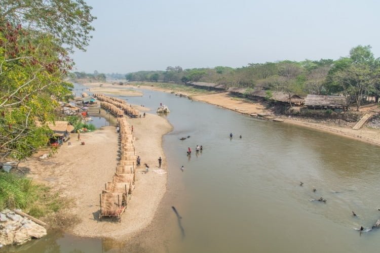
The latter also being on the banks of the Kok River, this adds a certain charm. You can also see a view of the river and the surrounding valley from the Buddha statue set on a piece of rock on the river bank, accessible by a footbridge.
It was also possible below this spot to have lunch on a sandbank, appearing during the dry season and offering a perfect setting to cool off on hot summer days (between February and April). I speak in the past tense, because recently, I saw some work on the banks there so I don't know if it's still possible. In any case, if ever, you will find huts with tables, but opposite on the other bank.

Lam Nam Kok National Park
I mention it because it is one of the official attractions of the region, although I have never visited it. In fact, like any national park, access to it is subject to a fee, 200 Learn More per adult.
However, it is a fairly small area, adjoining our main theme of this article, the Kok River. Its main interest lies in the presence of a hot spring, which sometimes offers an interesting palette of colors due to the mixture of minerals present. The setting certainly looks pretty, but does not justify paying so much just to see that.

The park's hot spring. Photo credit Chaiyathat [CC BY-SA 4.0]
Pha Soet Hot Springs (also spelled Phaset) is a small hot spring with pools at 39°C where you can relax. Its access is also chargeable but only costs 30 Learn More per adult (and 10 Learn More for children).
As with every hot spring in Thailand, you will also have the opportunity to cook eggs (quail or chicken) in springs at 73°C.
Just opposite, on the other side of the road, you will find a very good little restaurant set back, set in a modest property with a large garden, above the river (listed simply as Phasoet Restaurant on Google Maps).
Wat Phrathat Tham Doi Kong Khao
If you have time, here is a small local temple that may be worth a look. Not because of its unique architecture. But it has the atmosphere of a small local temple on the one hand, and the latter also has a small cave furnished with statues of Buddha or hermit.
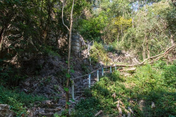
But what had attracted me there was the small cliff backing onto the temple, on which one can see a flag flying in the distance and make out at least one chedi at the top, indicating that it is possible to climb up there and therefore have a view of the valley.
That's the theory. On site the day I did my scouting, it was impossible to find a staircase leading upwards... One of the staircases leads to the cavity, another goes up to some monks' huts perched there, but I didn't see any other accesses to go higher... But I still saw recent photos there while writing this article, so proof that it is indeed possible.
Ethnic villages
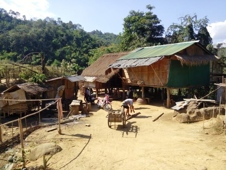
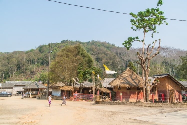
Chiang Rai is still an area with many ethnic villages. And in this area along the Kok River are several of them.
Baan Khwae Wua Dam and Baan Cha Doe
And I start with the most remote ones. Baan Khwae Wua Dam is a village that is located just before the Thai Apache GH, where Sophie's elephants were (Elephant Steps, which has moved elsewhere but the GH remains operational).
Baan Khwae Wua Dam is the village located on the left bank while Baan Cha Doe is a slope of the mountain located on the right bank. The two banks are connected by an old bridge donated by Japan 30 years ago. It is a suspension bridge with a wooden floor, crossed every day by the villagers of Baan Cha Doe.
The advantage is that the road is paved on the Baan Khwae Wua Dam side and it is then easier to get to a mini-market in a larger village rather than staying on their side where the road is unpaved until the level of the Lam Nam Kok national park, 3 km away.
Baan Jalae Muang
It is mainly a village that I used as a parking lot to reach the one described below, but it remains a village easily accessible by road, which is tarmacked up to there.
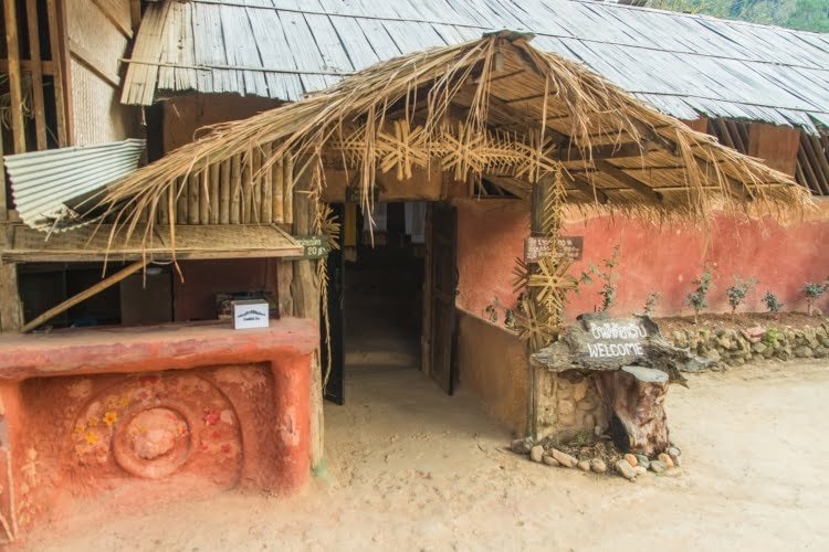
In this village, there was a small local museum dedicated to the local ethnic groups, namely Akha and Lahu. A little granny had opened it just for us, taking out her ceremonial outfit as she passed by. I speak in the past tense, because I don't see it listed anymore, but on the other hand it is still possible there too to stay in a homestay in the heart of the village, the Hill Tribe Art House.
Also note that less than a kilometer away you have a small waterfall, Mae Sai Waterfall.
Baan Yafu (บ้านยะฟู)
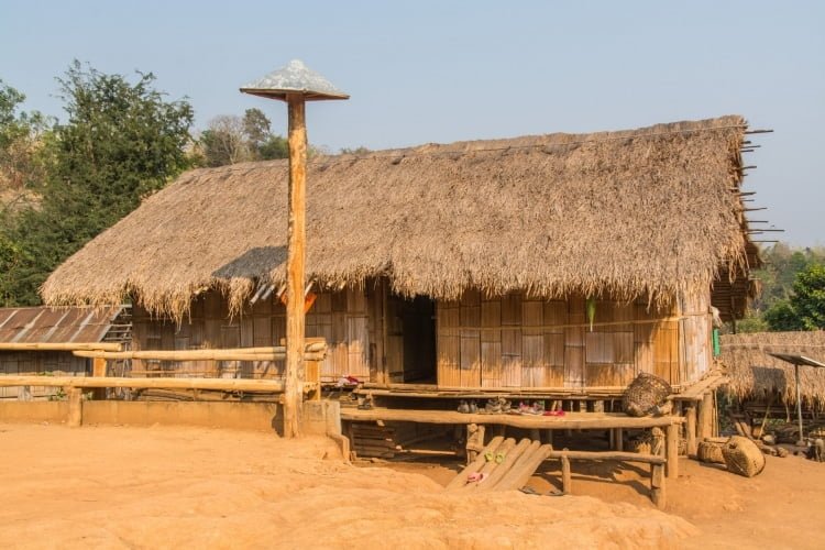
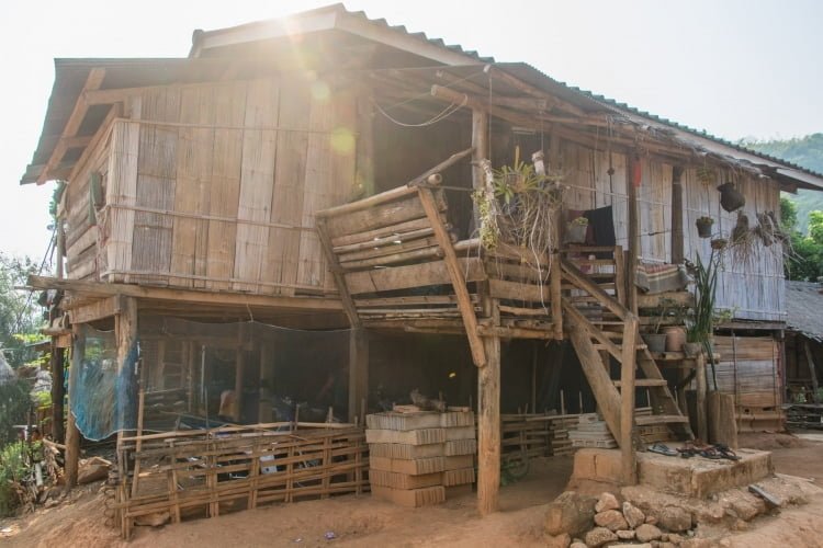
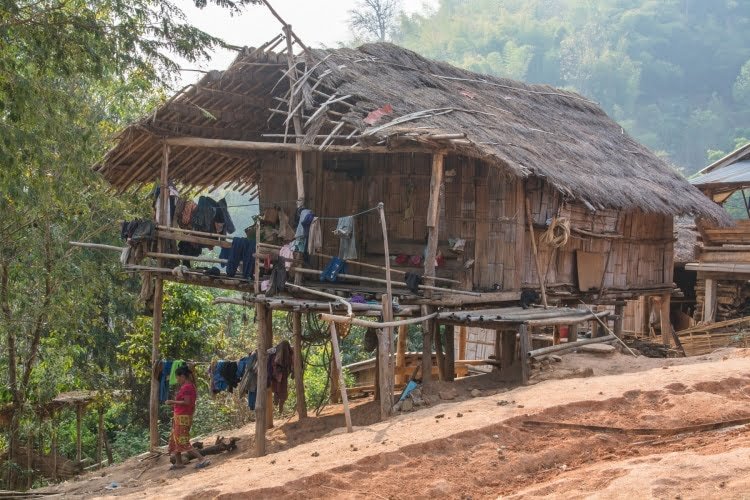
In order to deepen my visits to the surrounding villages, I decided one day to go to Baan Yafu, located on Google Maps. It is a village of the Lahu tribe.
Since the road up there is unpaved and I was with my old (city) car, I could not get there directly. But looking at the map it did not seem excessively far and decided to go up on foot, and I got my parents involved in this affair.
The fact is that there are still 2,3 km and almost all uphill (200 m difference in altitude). So it took longer than expected to reach the village. And it was almost disappointing to come across… tourists… Well ok, these are people who sleep on site, because this village, like others here, offer a homestay but I didn't expect that at all!
It remains a typical mountain village atmosphere. If you ever want to explore the area even more, you can climb up to a viewpoint, Doi Bo view point, overlooking the mountain of the Mae Yao district. To do this, you have to continue the climb for 2,5 km (300 m of elevation gain).


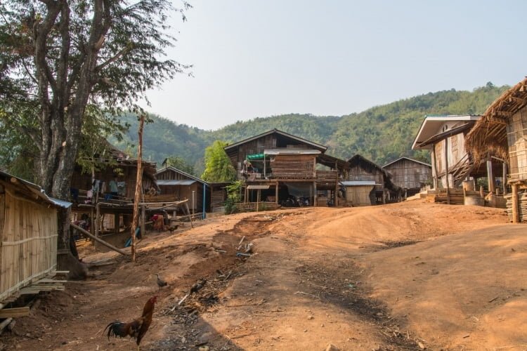
Baan Ja Jaw (Bamboo Nest)
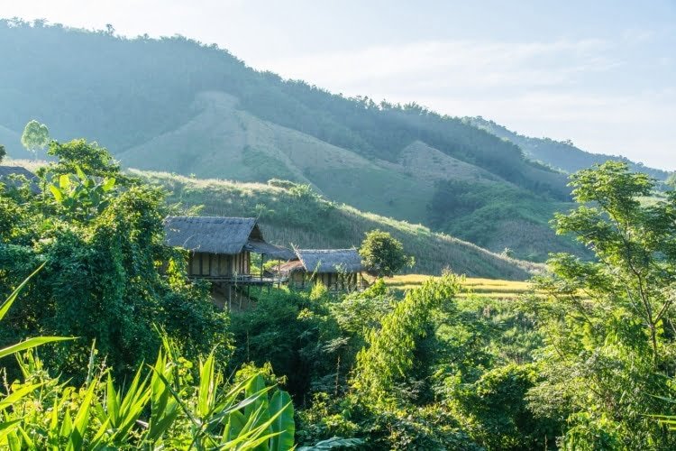
Another Lahu village, I go to this last one to eat in the heart of nature at Bamboo Nest, another mountain homestay located above the village.
To get to the Bamboo Nest, you have to cross the village on a particularly steep hill. So I park the car in the village and finish the last 500 meters on foot. The view from the village is superb, we pass pineapple plantations and rubber trees on the slopes shortly before arriving in sight of the Bamboo Nest.

In the rainy season, photo taken more recently, when the village was partially concreted to access the houses higher up.


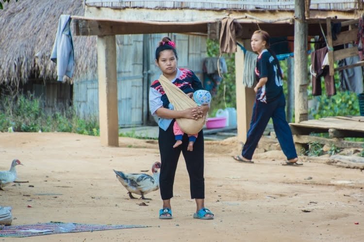
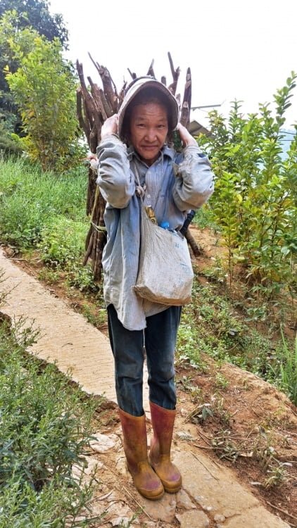


If I come here, it is not so much for the home cooking, which remains very limited in choice (the cook is not always available and the husband, as friendly as he is, helps out as best he can with the available ingredients) but for the setting.
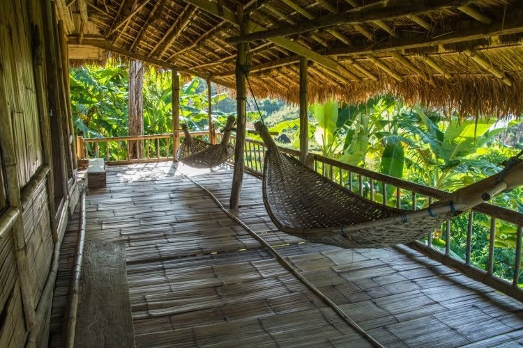
This family homestay is next to rice fields and is really isolated in the quiet of the mountain (if you stay there, they offer a shuttle from the Chiang Rai bus terminal, see the information on their website linked above). The huts are perched on the mountainside with a hammock area to relax, the garden is superb, well maintained, electricity is only available at the reception, a good spot to recharge your batteries in short.
Huay Keaw Waterfall
Finally, I end this little overview with a waterfall. in the heart of the jungle. Located not far from an Akha village where there are two small guesthouses (the Akha Hill House and Tree House Homestay Akha), accessible from a path starting from the Bamboo Nest mentioned just above. If you don't want to do the short one-kilometer trek, you can get there by road by turning left just before the Pha Soet hot spring (thanks Google Maps once again).
Unpaved for a short distance, it joins a small road which takes you to an unnamed village (shortly before the village of Ban Pong Nam Ron), a small bridge will cross a stream, the Keao, to then cross an old tea plantation area, again, on a section of unpaved road (and in the rainy season it quickly becomes a mess).
From the car park, there is only 350 m left to walk into the jungle, and beyond the waterfall itself, there is the possibility of a short walk in the heart of the tropical forest.
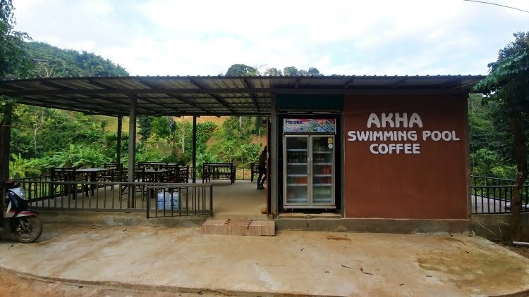
As an anecdote, the Akha village next door has set up a water flow control system, converted into a sort of swimming pool using water from the nearby spring. There is also a small café, but it is not always open due to lack of staff. One day, I was surprised to find it not only open and available but also run by a French woman! Who managed it in exchange for accommodation in the neighbouring village.
How to get along the Kok River
It goes without saying that to see all this, it is better to have a vehicle, because you will not have public transport in the area, apart from Wat Huay Pla Kang, easily accessible by shared taxi from the city center.
So I'm afraid I can't help you any further on this point, you'll have to be resourceful, you can use the map below to find your way:
Did you like the article? share on Pinterest!

















Annie Donadio
Hello Romain
As usual, your text and your photos are a feast for the eyes and the heart. I discovered this region and this road along the Kok River in 2016. It is inexplicable my feelings on this road. These magnificent encounters, this nature that amazes. Since then I go back there every year and never get tired of it. I saw most of these villages without knowing their names. Thank you for all these details.
It would be nice if we met one day.
Kind regards. Annie
Roman
Hello,
With great pleasure! If you pass through Bangkok, do not hesitate to contact me and we can organize that 😉
LAURENCE HARVESTER
Hello Romain,
The more I read your articles, the less I know how to organize our trip because we want to see everything!
For us, it will be a first trip to Thailand (and Asia for that matter) in January 2021: do you think we can risk renting a car for a few days from Chiang Mai to visit this area of the KOK River? We hear so much about dangerous driving in Thailand… I watched videos on Youtube and it still seems that outside the big cities, there is nothing very spectacularly dangerous…. Is this an area where we can get lost or can we use Google Maps to help us by having identified the villages?
Thank you for your help, because I hesitate to include the North of Thailand in our trip and yet it is really an area that I would like to visit (not just stay in Chiang Mai) but we would like to be autonomous…
Thanks in advance and thanks again for your site which is absolutely a huge mine of information.
Laurence
Roman
Hello,
As such, yes, renting a car is within the reach of any driver (with a minimum of experience), just be very careful (especially with two-wheelers) because you will not have, at least at the beginning, the ropes of the local driving style and the adequate reflexes (in addition to driving on the left).
If you locate in advance via Google Maps, check if possible the state of the roads via Google street view because sometimes, if you don't check, you can come across a road that becomes a path, so unless you rent a suitable 4x4, you will find yourself in difficulty or failing that, unable to go to the desired village.