


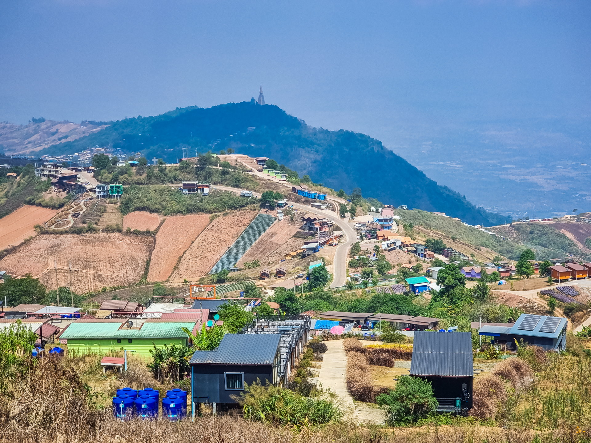
Located at nearly 1,800 meters above sea level , Phu Thap Boek is the highest point in Phetchabun province . People come here for its spectacular panoramas, winding roads, and mountain village atmosphere, home to several Hmong communities. The area is quite extensive, encompassing viewpoints, cultivated fields, perched accommodations, and small shops lining the main road.
Phu Thap Boek is one of those places where you immediately feel like you've entered a different world. You leave the Phetchabun plain for a winding mountain road , and as the kilometers pass, the temperature softens and the landscape opens up.
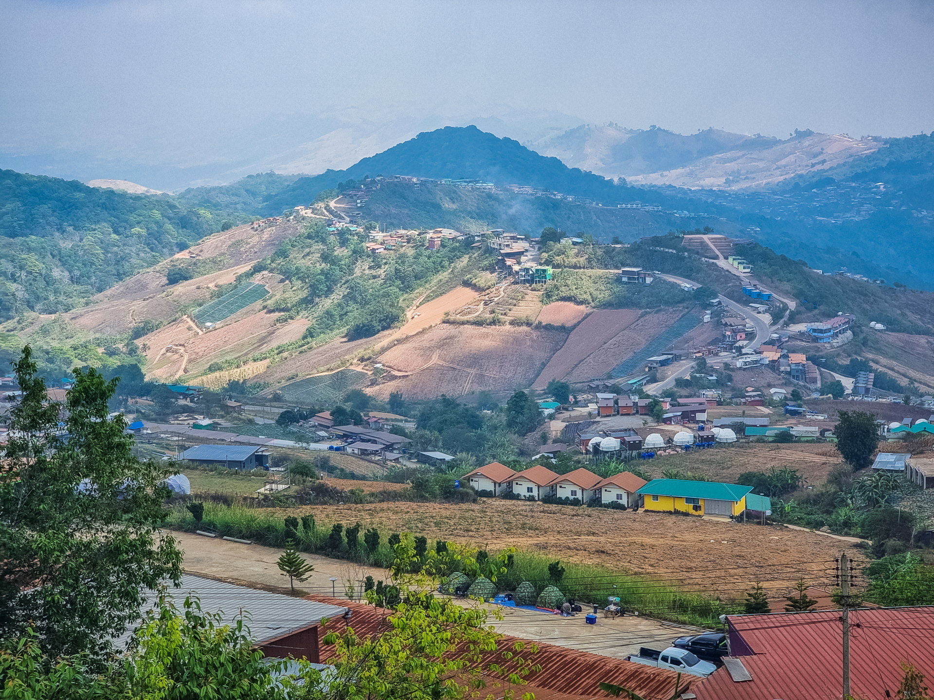
When I visited, it was the dry season: the hills were rather dull and the heat haze obscured some of the landscape. Nothing like the famous seas of clouds that envelop the valleys at the end of the rainy season (the optimal period is between November and January), and which also contribute to the area's reputation.
It's not necessarily the most "postcard" place in Thailand, but for lovers of altitude, coolness and panoramas that stretch as far as the eye can see, Phu Thap Boek is clearly worth the climb.
Climbing to Phu Thap Boek: a series of bends and several possible routes
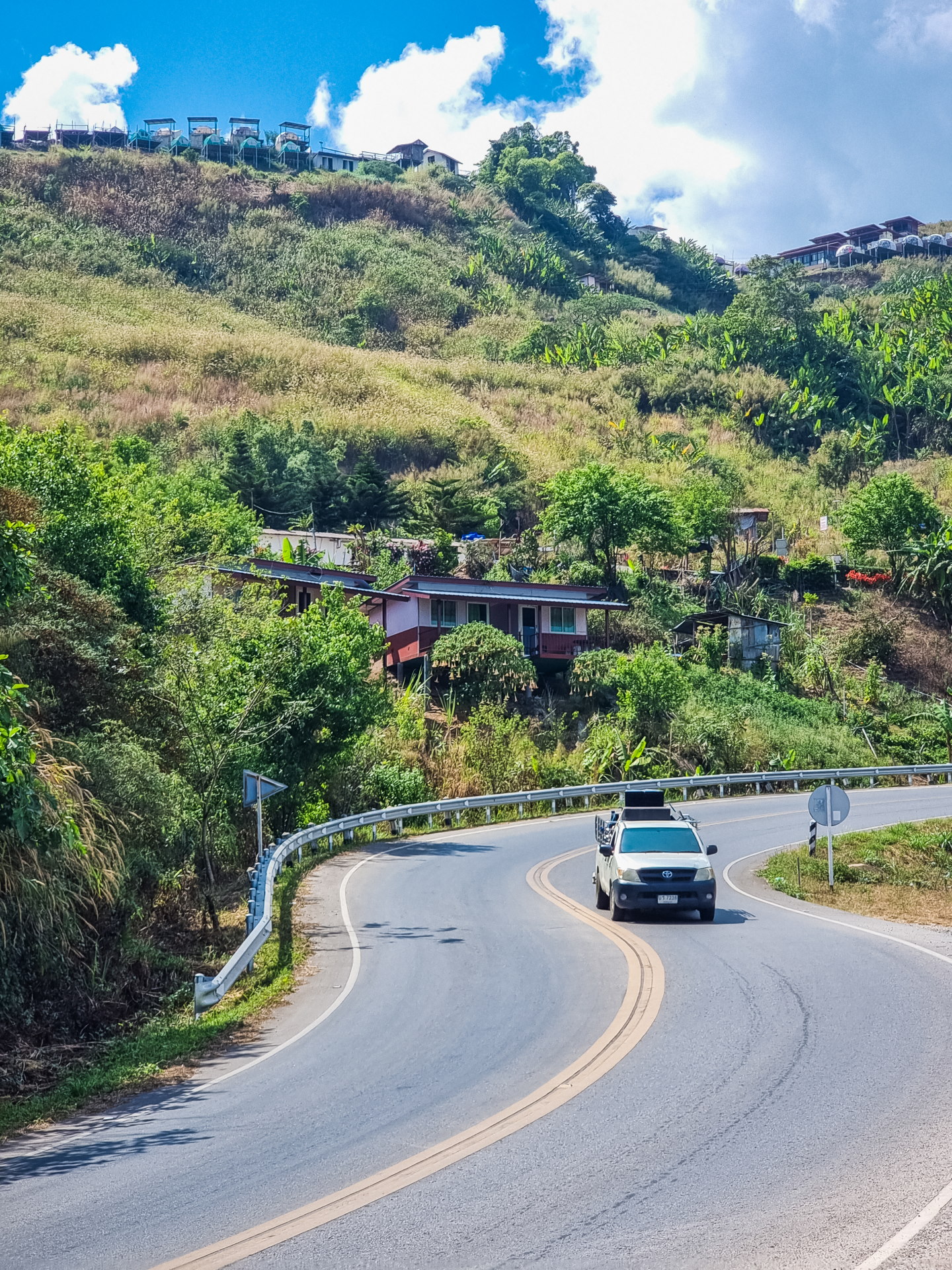
The climb to Phu Thap Boek is almost part of the experience. As soon as you leave the main road, it's a steep climb: tight turns, long ramps, views that appear around every bend… You quickly understand why the locals consider this road a small attraction in itself.
There are basically two main access routes depending on which direction you're coming from: the road from the Lom Kao district, on the Phetchabun side to the east, and, on the other hand, if you're coming from Uttaradit or Phitsanulok, the option of going through Nakhon Thai and then climbing via Phu Hin Rong Kla National Park . But on my very first time in Phu Thap Boek, I didn't take either of those routes… since there's a third, much less frequented, access route from the north.
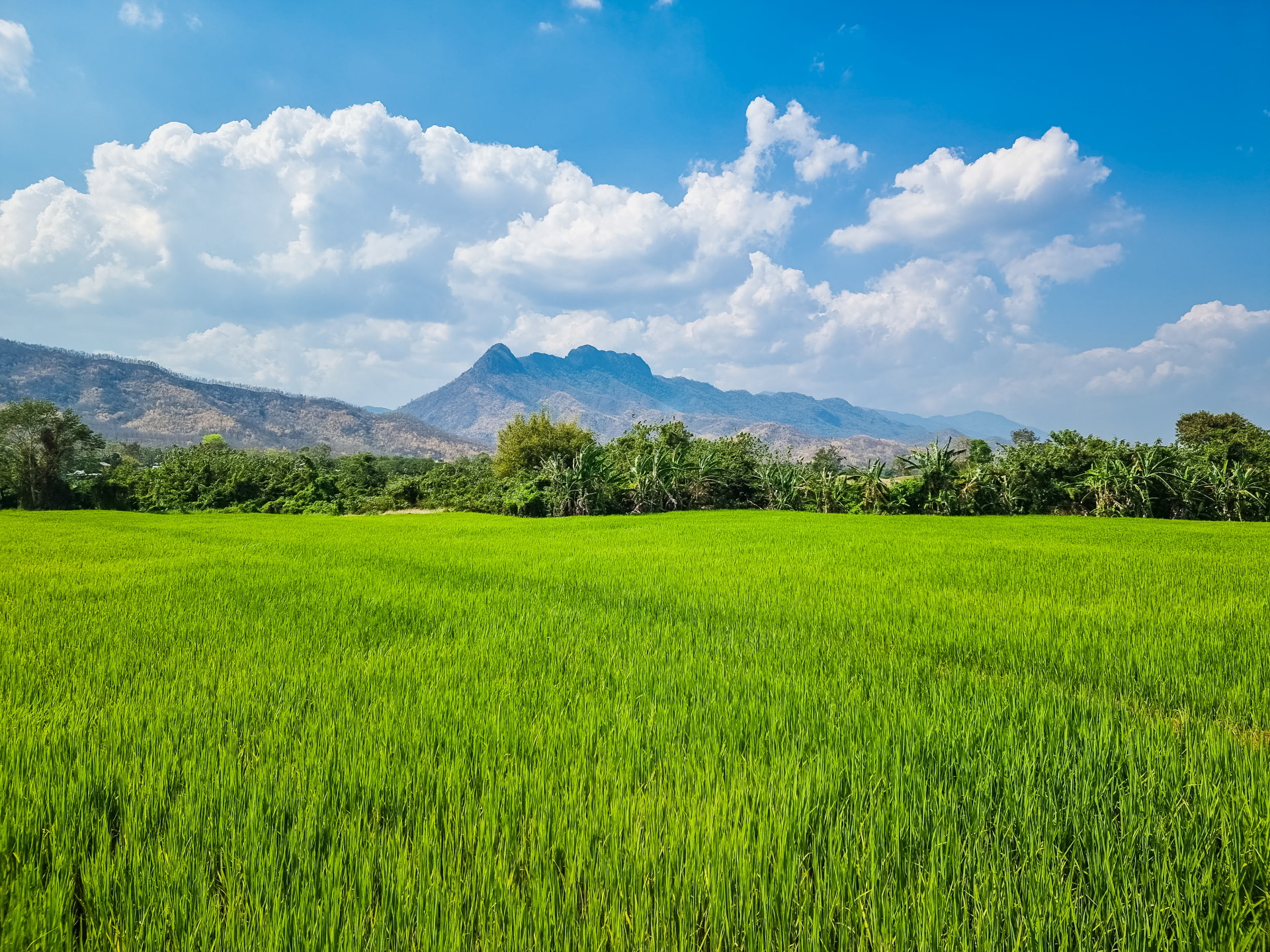
I was coming from Loei, more precisely from Chiang Khan , on the banks of the Mekong River, and while the GPS initially indicated the main road as the route, I saw an alternative that went a little further into the mountains than through the valley. Even though the estimated time was slightly longer, it was 10 km shorter. That was all it took for me to choose that route!
Looking at this road today, Google Street View has been there, and it appears to be paved for at least 80% of its length. EXCEPT that when I drove it, that wasn't the case! So I couldn't have anticipated the road's condition and was driving even more blindly, especially since I didn't have an SUV back then…
The small section visible on Google Maps clearly showed me that the road was unpaved at one point, but I didn't know if it was the whole way or if it was very steep. On paper, the incline seemed gentler and more gradual than the much steeper one of the main road. So there I was, setting off into the unknown, making my way through a hilly landscape and villages.
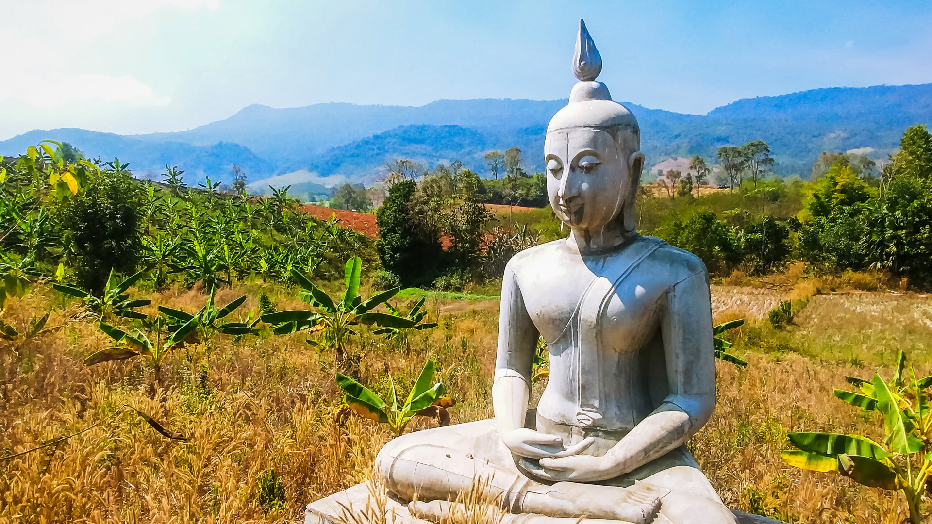
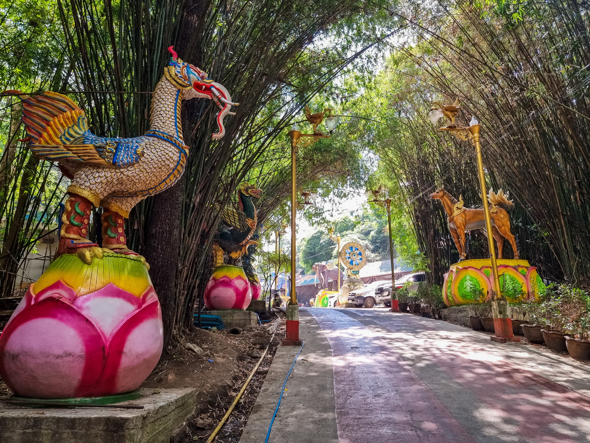
Everything goes very well for miles: admittedly, after a village, the road becomes a track, but it's wide, dry (it's February) and flat for a long time. I follow a track lined with Buddha statues for miles — so many “billboards” promoting a small local temple, Wat Pa Yen Siratham Prathip.
After more than 30 km in this valley, the road finally starts to climb… and at that point, I can't see myself turning back, since I would have to retrace my steps for over 30 km, then do that distance again on the valley side: more than 60 km of detour. Not really an option when you're stubborn!
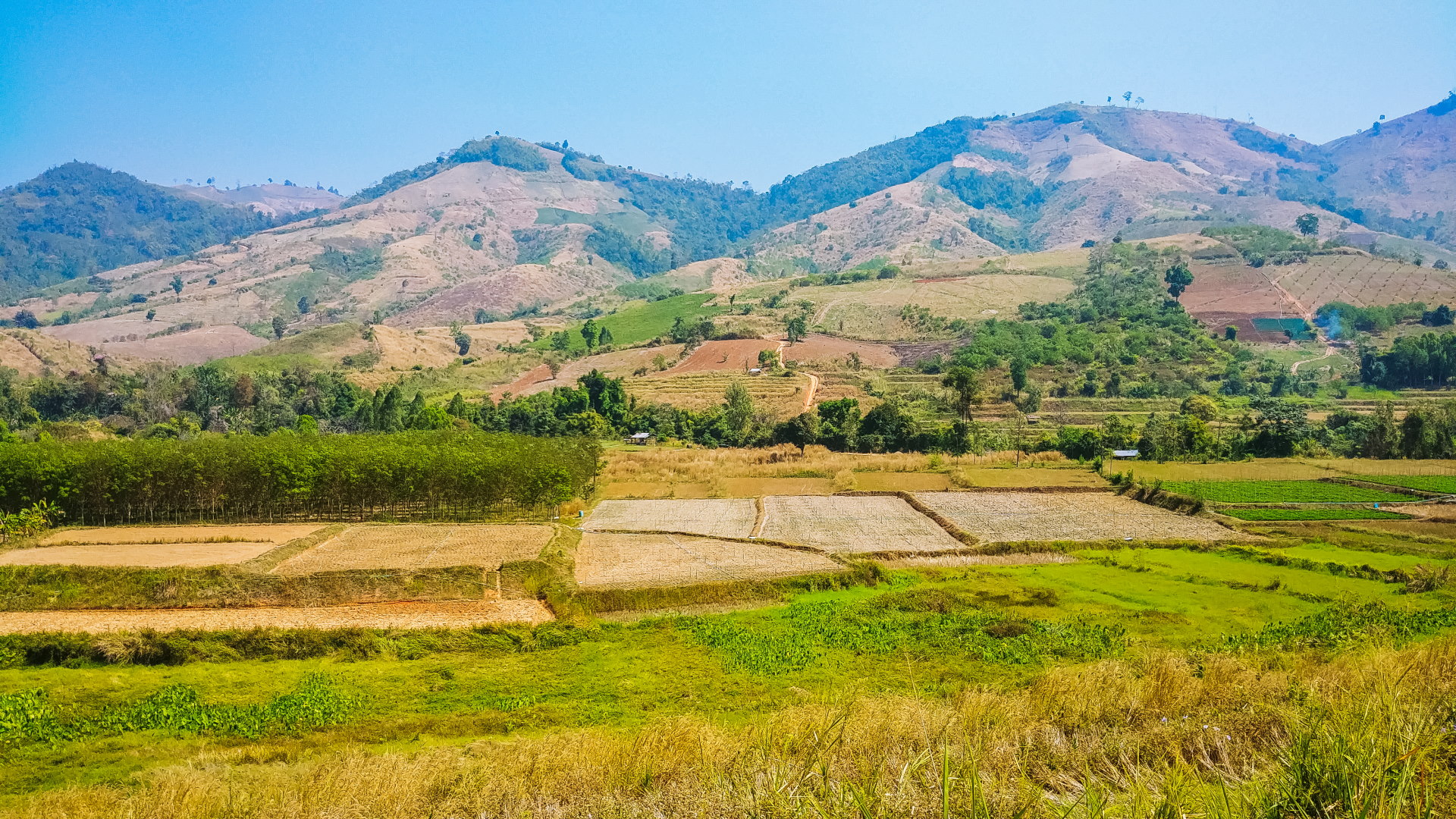
The first few turns went smoothly, bringing me closer to my goal. And then suddenly… a curve that didn't seem so steep made me spin my wheels. I tried once, twice… but besides being steep, it led into another turn, and the whole thing was covered in a thin layer of red earth. Impossible to get through. I was so frustrated, only 4 km from the ridge and about 10 km from the finish line!
It's a country road, so there's very little traffic. Luckily, a pickup truck arrived shortly after, just as I was thinking about how to handle the situation. I didn't even have to ask him to stop: seeing my lost "farang" face, scratching my head next to a parked car, he rolled down the window: "Need some help?"
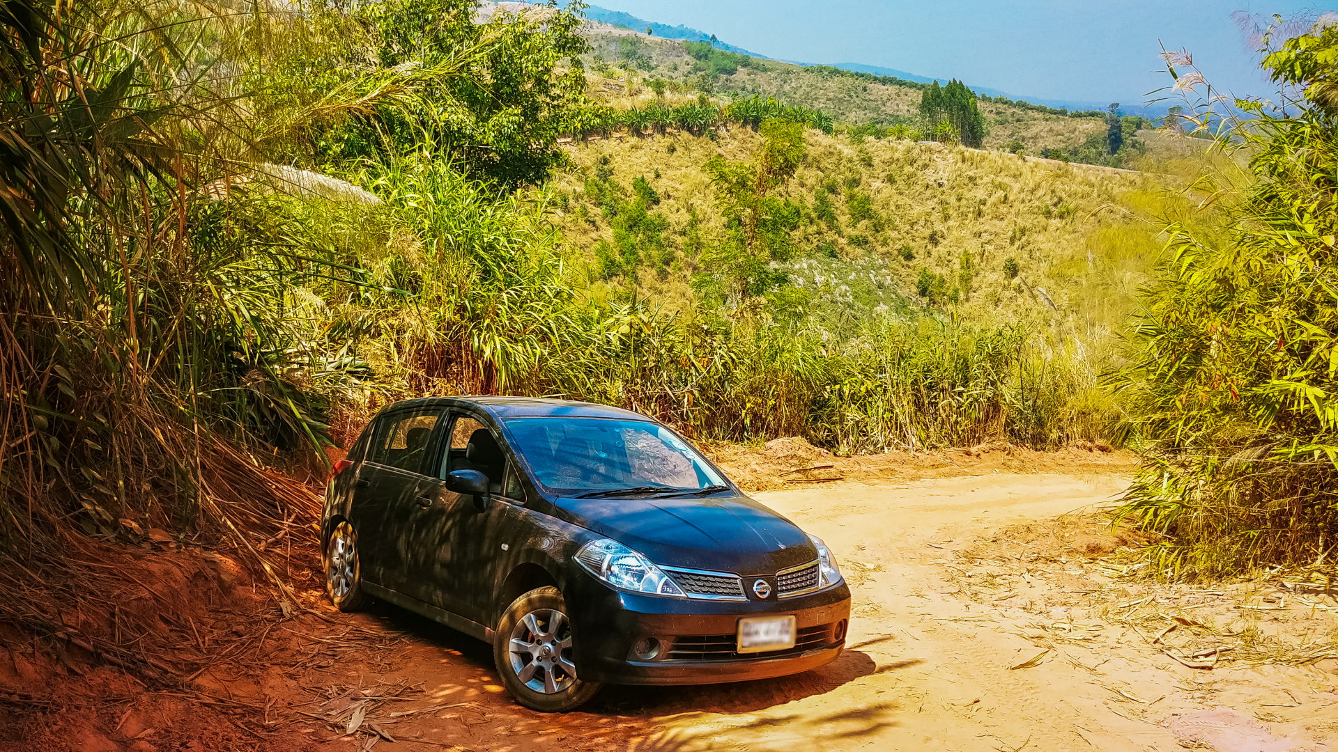
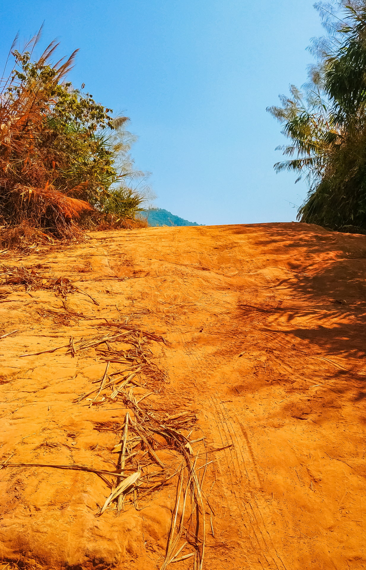
He told me, "Don't move, I'll go back up to the village and send someone over." A few minutes later, another pickup truck arrived, secured our cars with a rope, and pulled me out of that blasted bend to help me climb the next section. Just to be safe, I asked him if I'd be okay after that. Confident, he replied that yes, even my car should make it. And indeed, it did. That's how I first arrived in Phu Thap Boek!
If you choose the classic route, generally more popular and easier for a first visit, be aware that it's a steep climb. You go from less than 200 meters to over 1,500 meters in barely twelve kilometers. That's the route I wisely took to return to Phu Thap Boek a few years later.
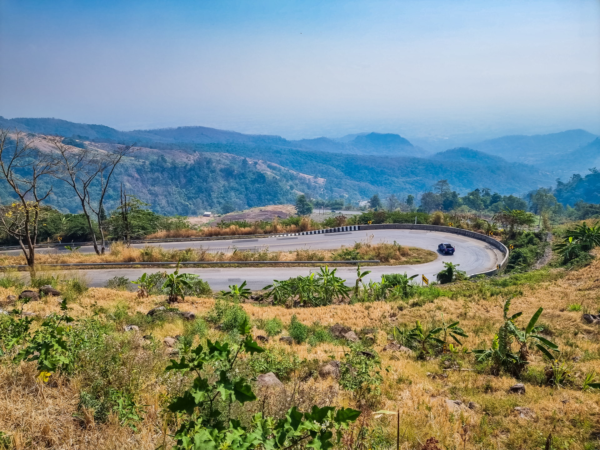
As I climbed, I admired the ridge that unfolded before me. I stopped several times to take photos, so impressive were the hairpin bends and the view. I found some great spots, especially after the village, where higher up, all the numerous typical hotels of the region came into view, clinging to the mountainside to take advantage of the sweeping vistas.
And as I mentioned regarding the climb to Wat Pha Sorn Kaew , when going to Phu Thap Boek, you generally come across photographers posted in the bends, camera in hand.
At the time, I wondered what they could be doing, thinking I'd find a photo booth at the top. In reality, as the sign in front of them indicated, they were feeding Facebook groups like แอบถ่าย 24 or 99โฟโต้ by taking pictures of almost every vehicle that passes by (except me, of course…).
The photos are then published on their pages, sorted by date, and it's then possible to download your photo, presumably for free. I don't really know their business model… but at least you'll know why there are people with telephoto lenses on the bends.
Main stops in Phu Thap Boek
Since the main goal here is to enjoy the cool air and the view from your balcony, there aren't that many "sightseeing" activities to do, strictly speaking. Besides, I'm certainly not the only one who comes here to wander around for a day: the area is quite large, so you can easily get around without noticing the time passing.
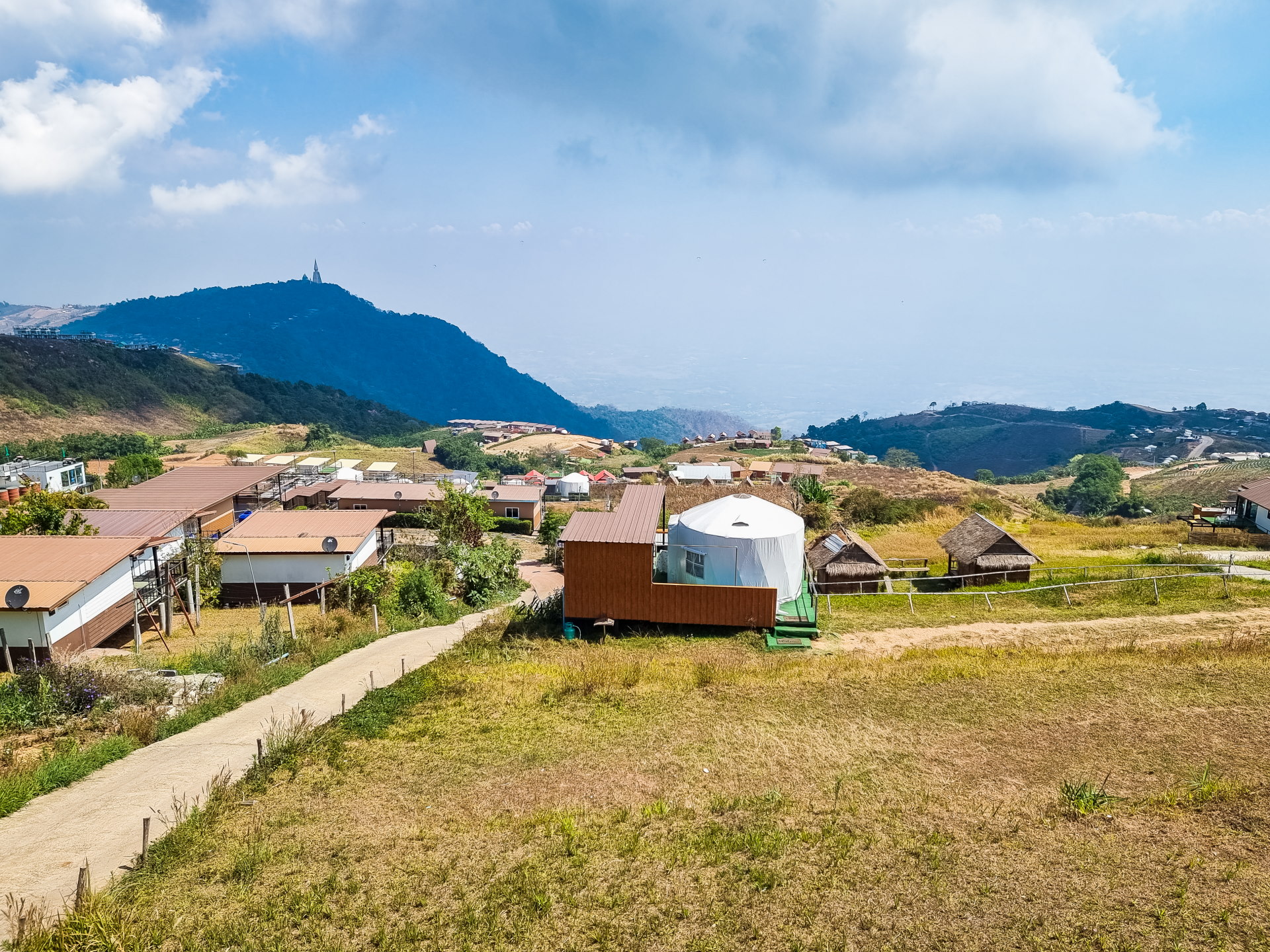
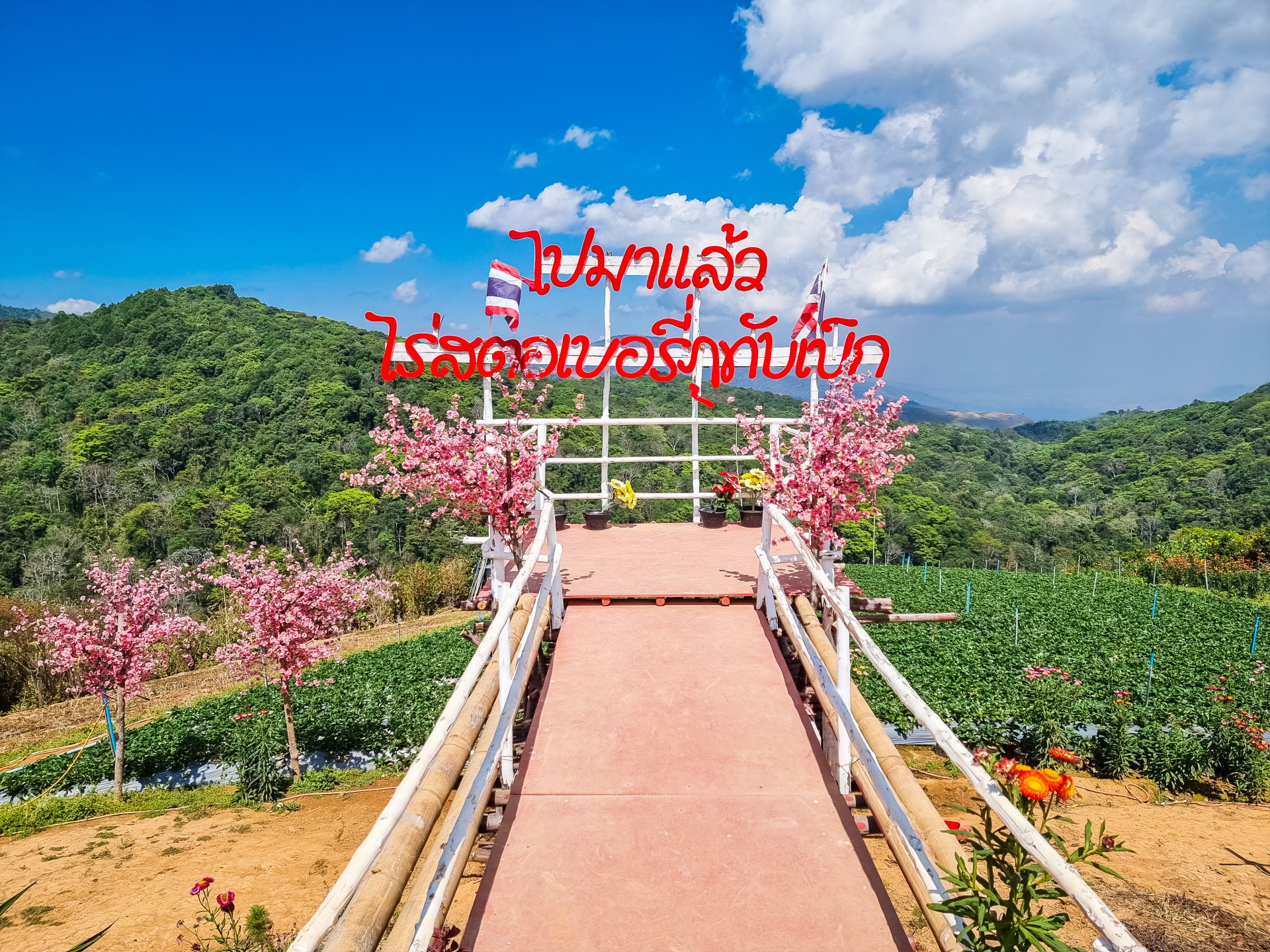
Aside from the occasional photo stop when I saw spots that interested me (or that I had scouted beforehand), I essentially structured my route around three points. They are all located along the ridge, a few minutes from each other.
1. The Hmong markets
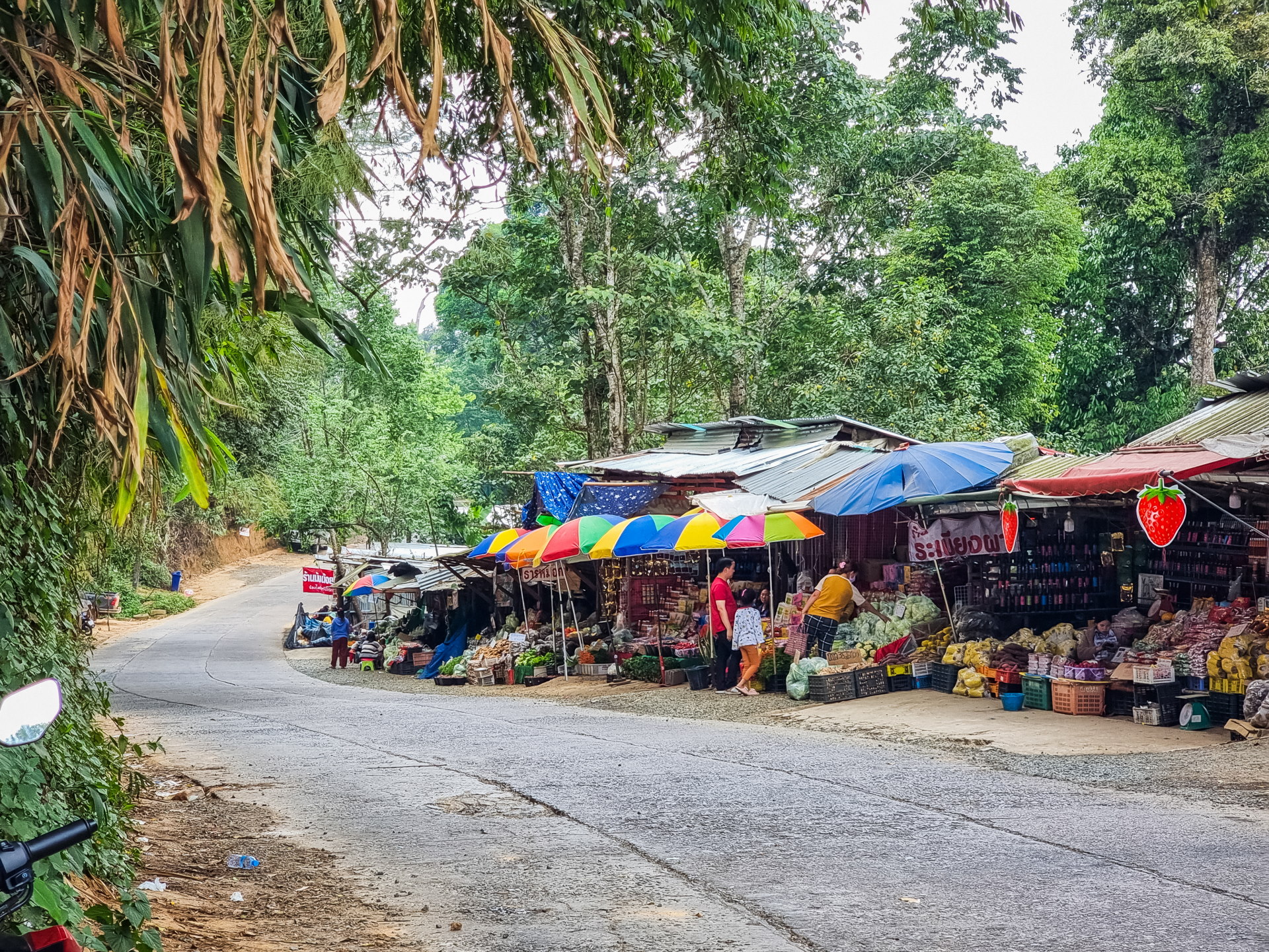
There are two markets near the summit. The first is located just before a crossroads, which marks the entrance to Phu Hin Rong Kla National Park.
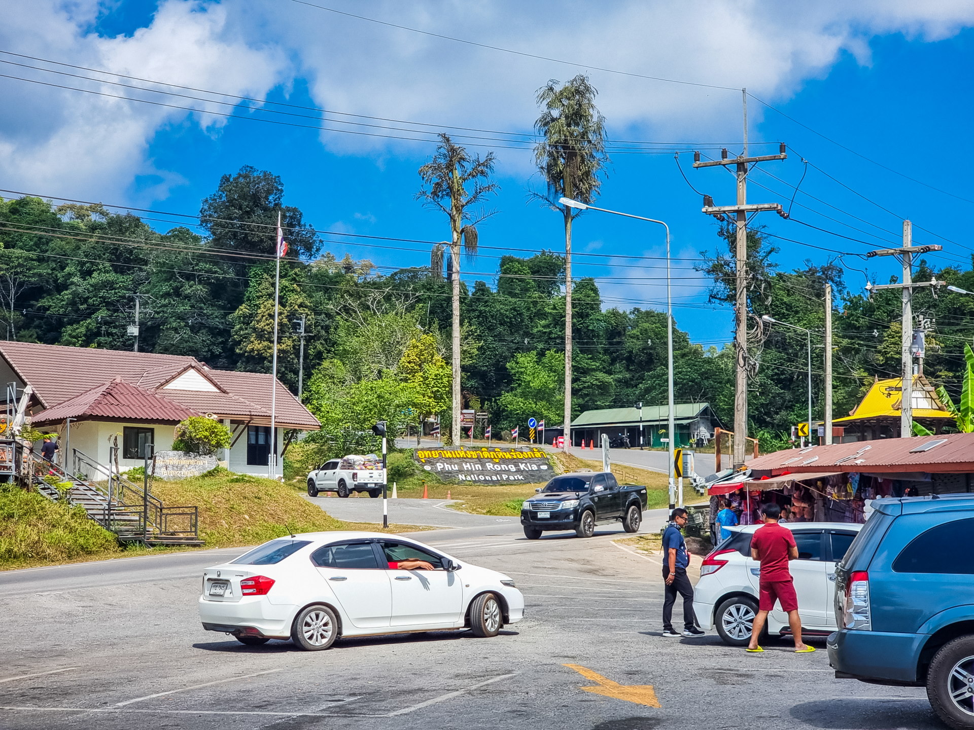
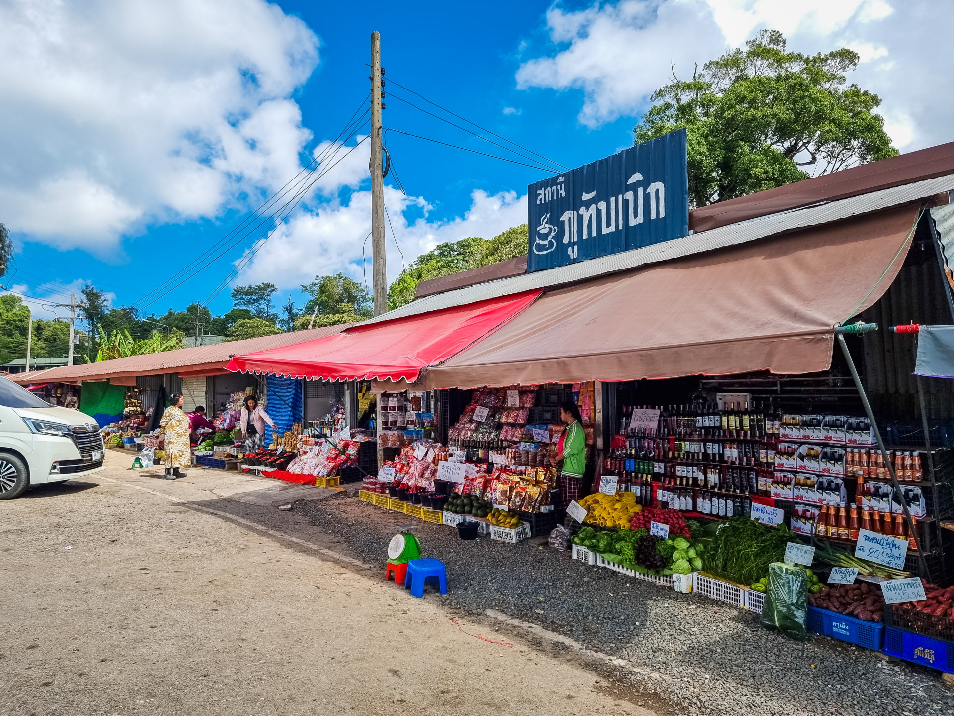
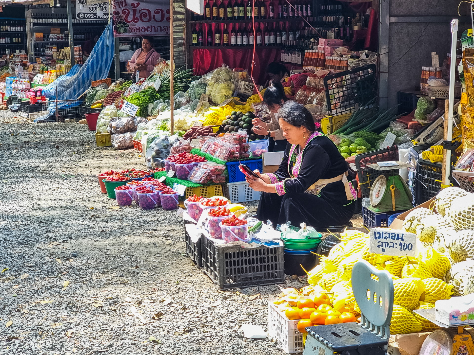
This is usually the first real stop when arriving from the main road. There is a car park and a row of small shops, mostly run by the local Hmong community, selling mountain fruits and vegetables, snacks, clothes and some souvenirs.
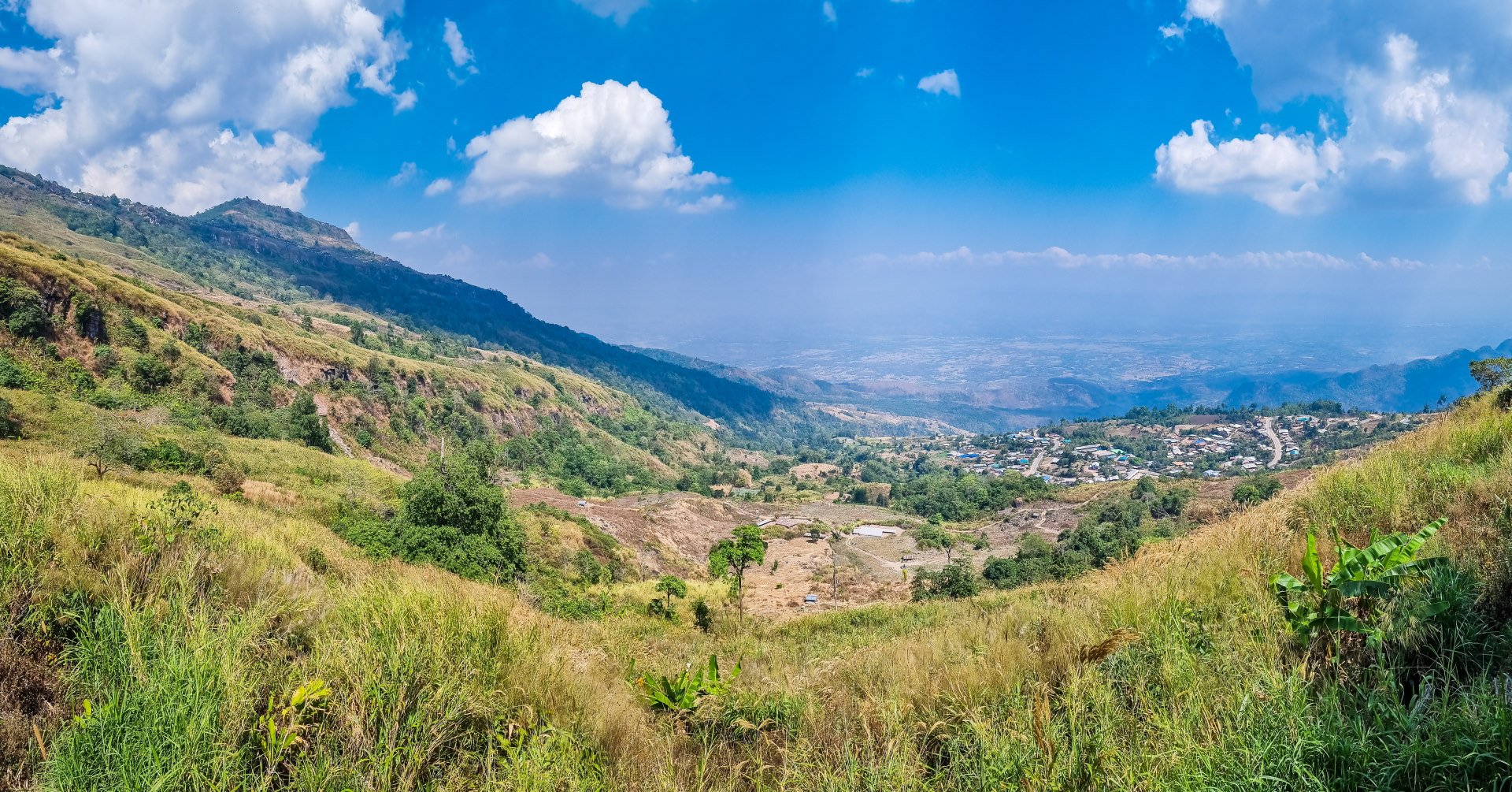
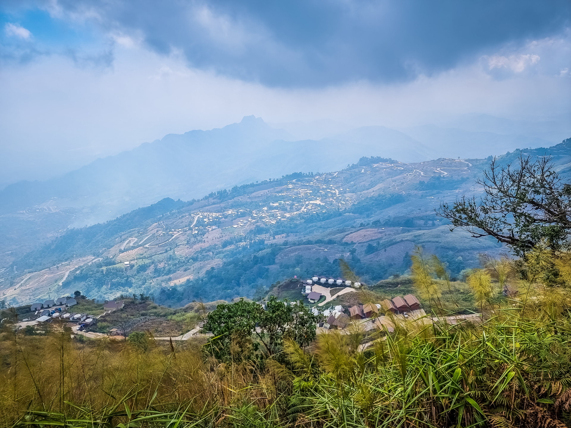
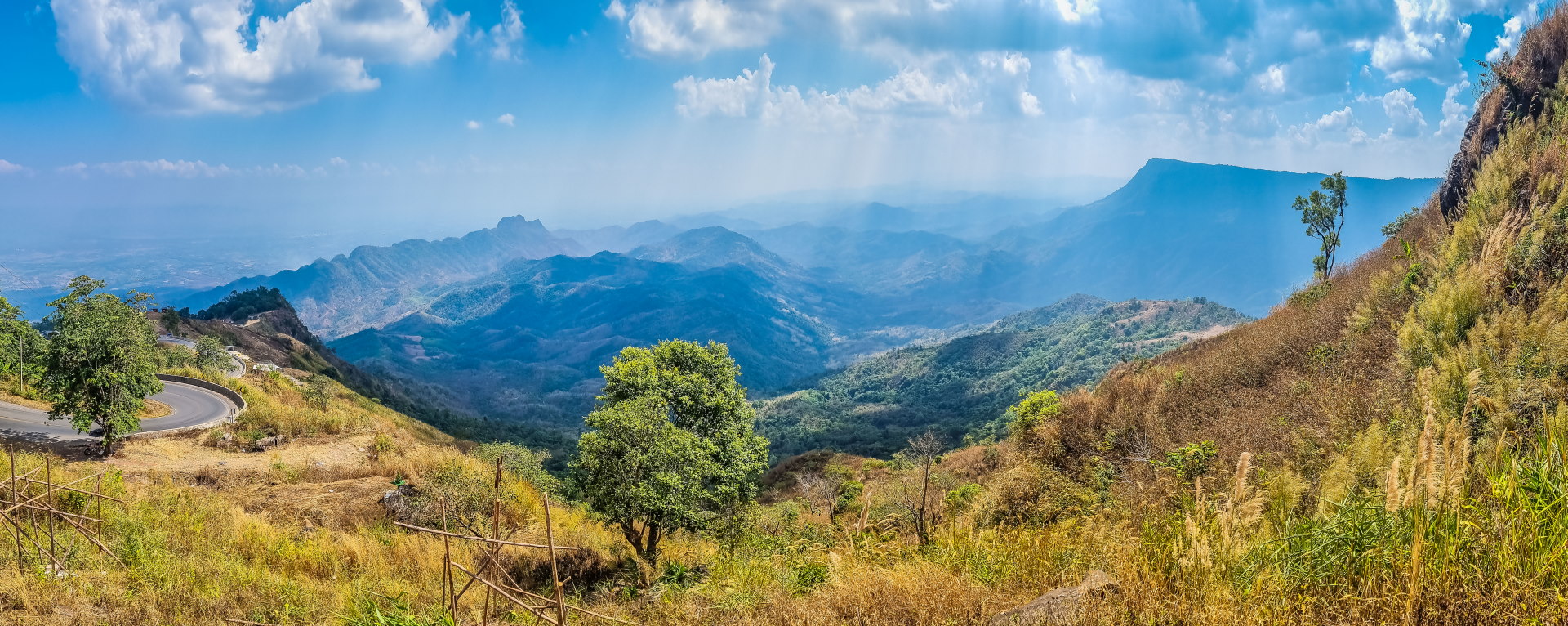
We're now at an altitude of over 1,600 meters, and in winter you can feel a refreshing breeze contrasting with the heat of the plains. Even if you don't plan to buy anything, the stop is still worthwhile, since from the edge of the parking lot you have a beautiful, unobstructed view of the entire slope you've just climbed, with the winding road clearly visible.
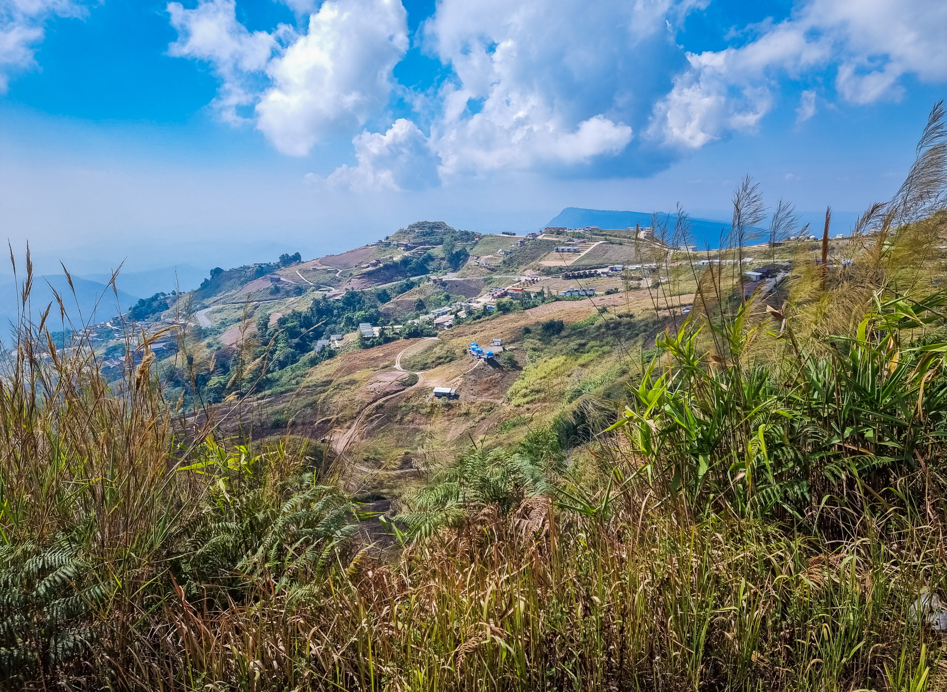
The second market is just 1 km further on, when you turn right immediately after the parking lot (Phu Thap Boek is not part of the national park, so you don't go through a checkpoint). You can't miss it: it stretches for nearly 400 m along the road, at the foot of the hill where the observatory is located.
This isn't a "tourist market" in the traditional sense, but rather a local hub where you can grab a bite to eat, buy strawberries when they're in season, and find a little bit of everything produced in the vicinity of the main village (บ้านทับเบิก, Baan Phu Thap Boek). I'll take this opportunity to mention the origin of the name.
“Phu Thap Boek” actually comes from Hmong and refers to a place of settlement, which fits quite well with the history of the plateau, still largely inhabited today by mountain communities.
2. The Observatory (Observatory and Temperature Measurement Building)
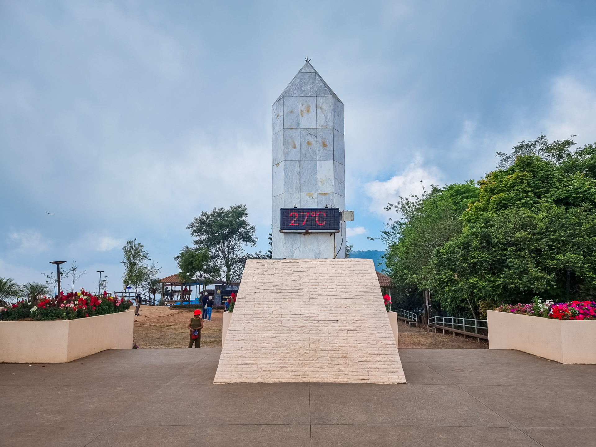
If we translate the English name given to the place, we get: "Observatory and Temperature Measurement Building". A somewhat pompous name for what is, in reality, a simple promontory, but one that offers one of the best panoramic views of the valley and the Phu Thap Boek plateau.
It's a platform with a temperature display (a pleasant 27°C on the day of my visit), and at its base, designated camping areas. A sign indicates that we are at an altitude of 1,768 m.
Two points of clarification regarding this issue:
- Firstly, this is not the official summit, which is located approximately 5 km further on and is included in the national park. It is not accessible to the public, as a military base is located there.
- Second point: if we rely on satellite imagery (on Google Earth Pro, which provides altitudes), it would be closer to 1,650 m, like the market parking lot. It's still anecdotal, but I like to be precise.
Given its location, it's a spot where many visitors stop to admire the sea of clouds in the morning (when it's there, from November to January). During the day, the view remains very beautiful: you can see the chedi of Wat Pa Phu Thap Boek rising above the treetops, although, in the dry season, the heat haze somewhat spoils the experience.
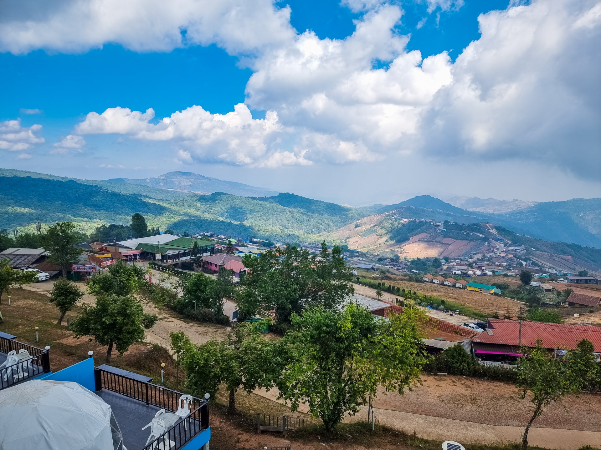
In the distance, the whole valley is open to us while, on the other side, as from the parking lot a little earlier, we have a view of the access road to the site.
There is normally another viewpoint in the area, with a much better panorama. Just before the junction leading to the observatory, if you head west towards the national park, a spot is marked with the name Phu Phaeng Ma.
Unfortunately, reviews indicate that there's no real parking on site, and the place seems neglected these days. The platform looks fragile, and access was possibly even blocked. In short, I didn't even bother going there when I was there, but if you're curious, I thought I'd mention it anyway.
3. Wat Pa Phu Thap Boek temple
Perched slightly off the road in the main village of Phu Thap Boek, this small temple exudes a different atmosphere from the more traditional temples of the region. It has more of a "forest temple" style, as it is indeed surrounded by a preserved forest.
From what I've seen, I understand it serves as a meditation center. While forest temples are generally more discreet and understated in their construction, this one still tries to stand out.
As can be clearly seen from the observatory, this temple has built an impressive golden chedi with an unusual shape, pointed at the base of a square. Its appearance is reminiscent of an Egyptian obelisk; it seems to have come straight from another world in this Thai mountain setting.
And to give you an idea of how large the structure is (I don't know its exact height), the accessible room inside houses a long reclining Buddha about fifteen meters long (the base of the chedi itself is over 30 meters), while I glimpsed a woman meditating in a corner. In fact, signs clearly indicate that silence is encouraged when visiting this temple.
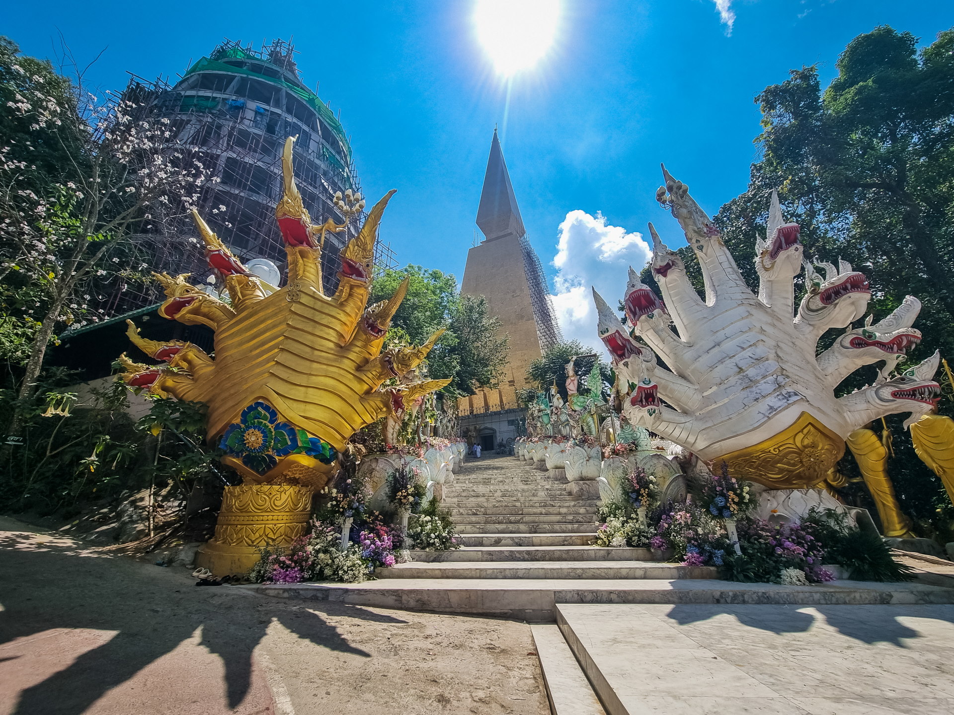
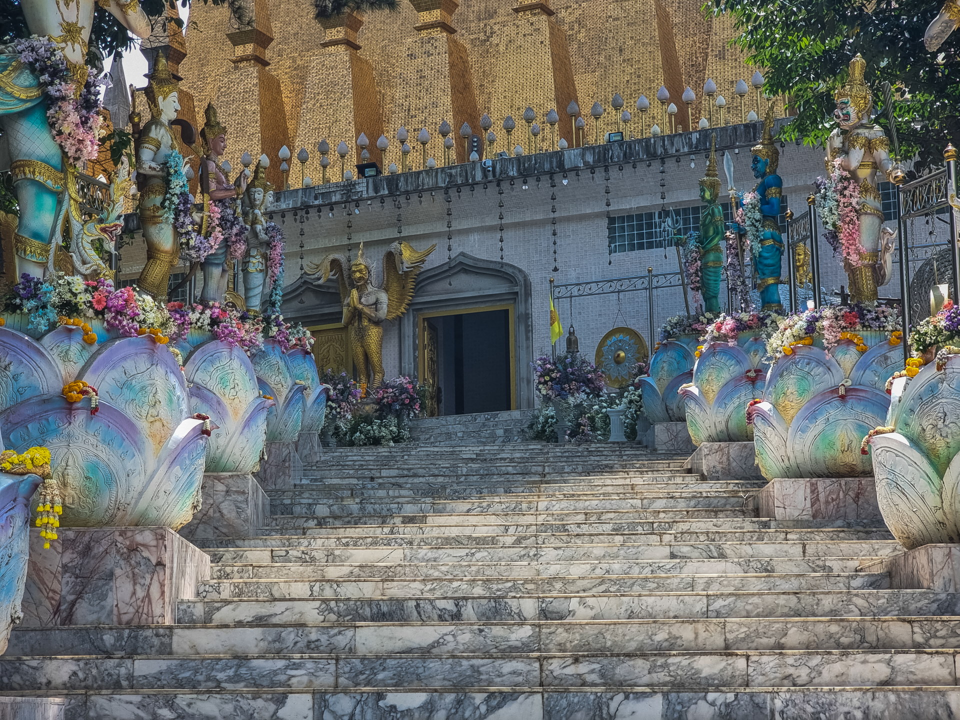
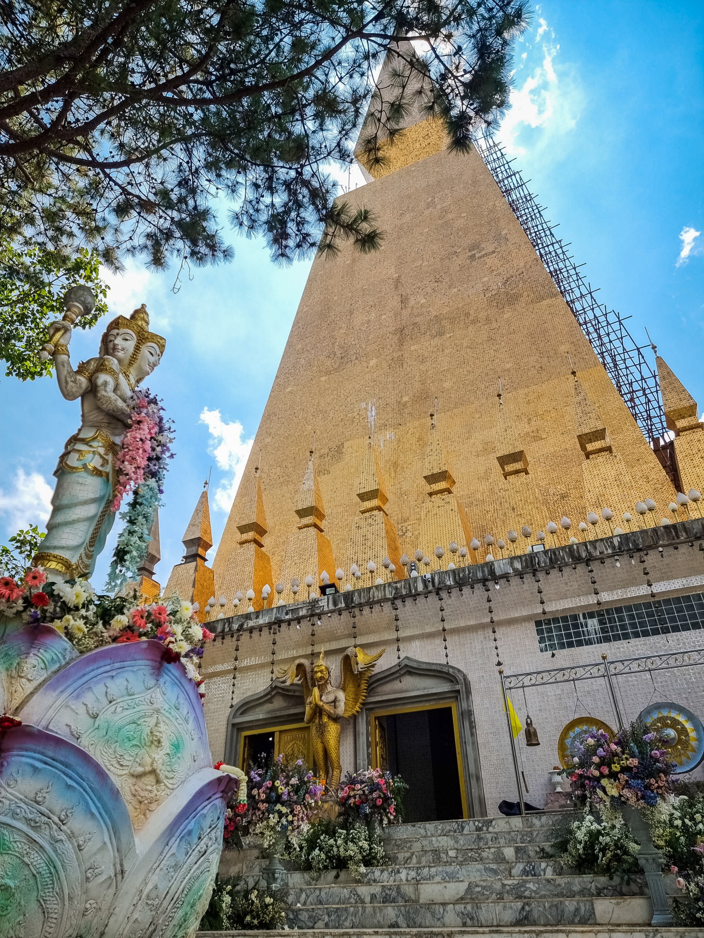
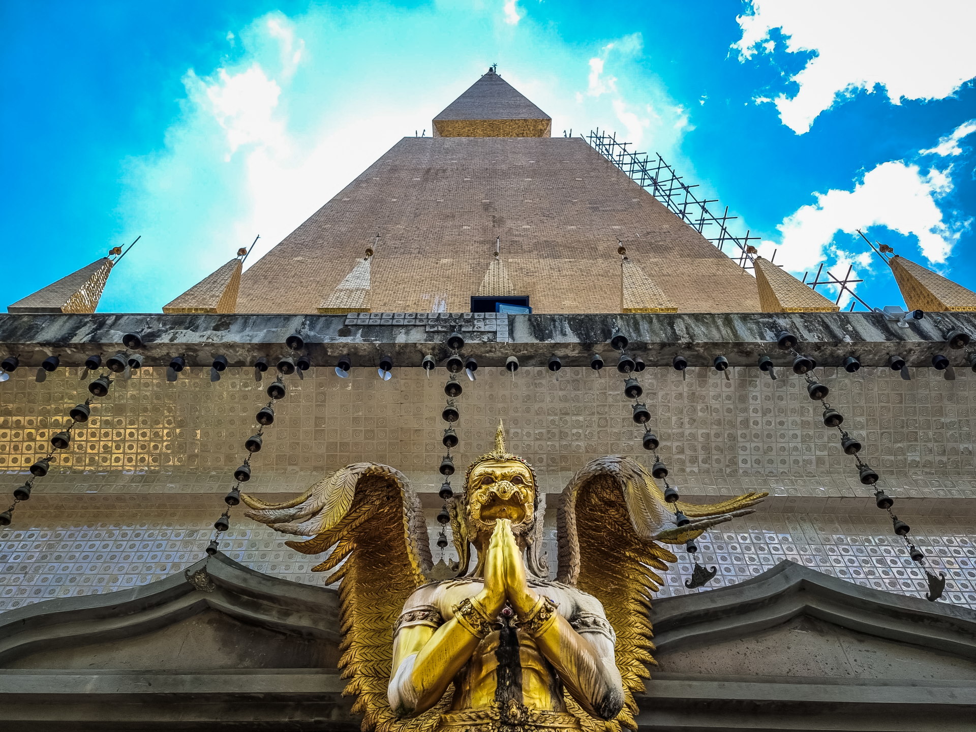
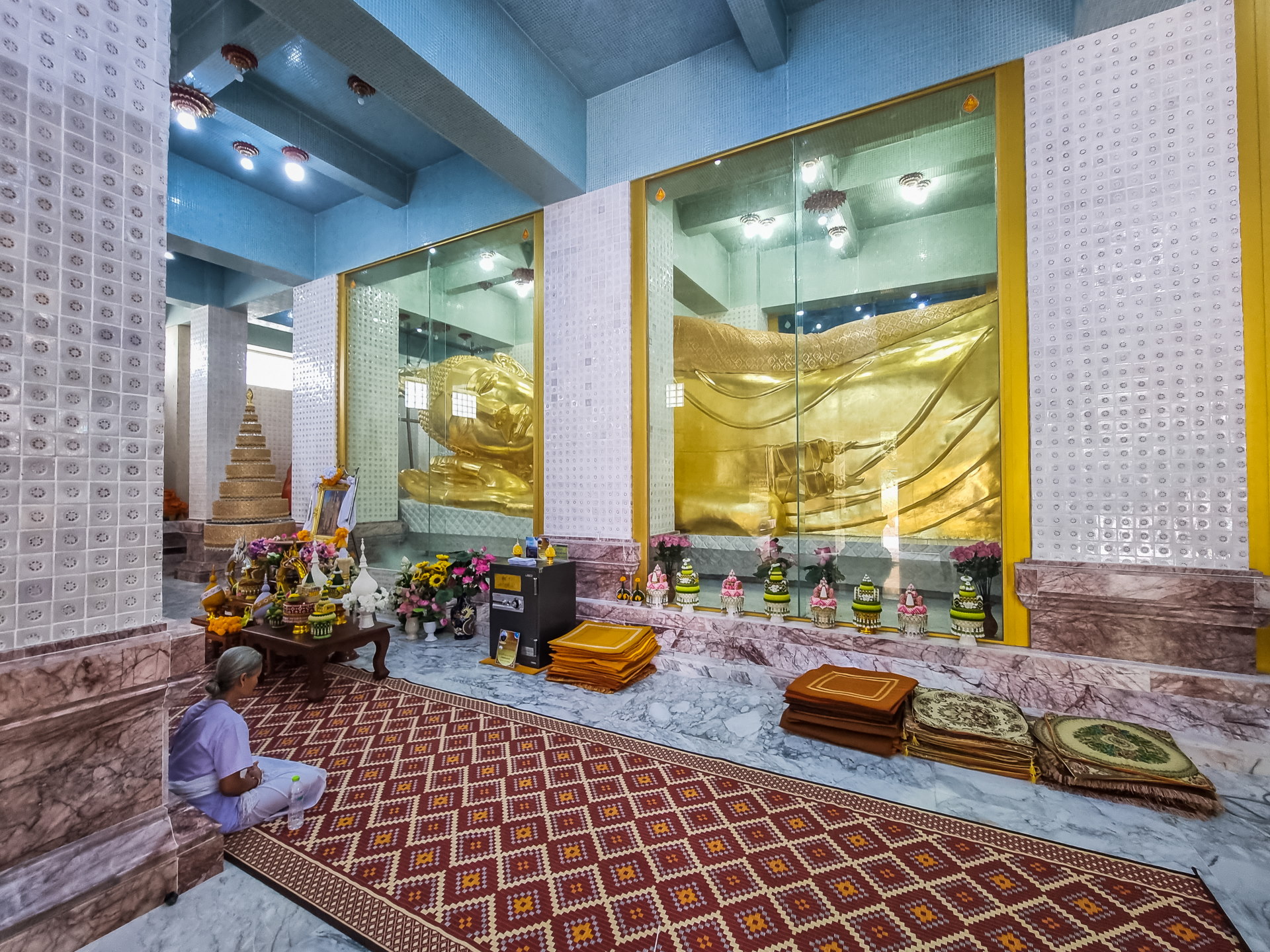
An ogival tower, still unfinished, is under construction right next to the chedi. I don't know if an open view of the outside will be possible from its floors.
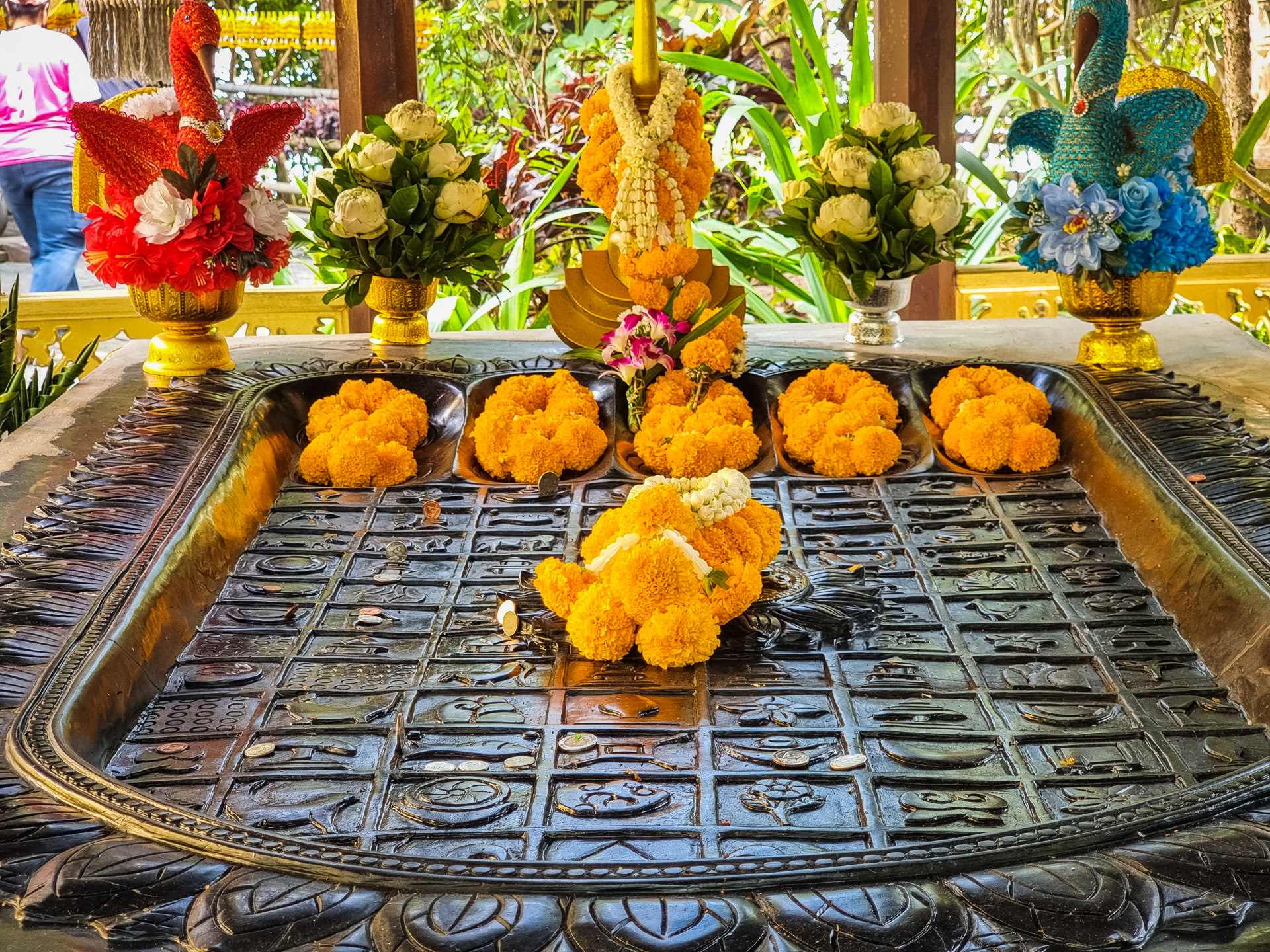
At the end of the road leading through the temple, a few meters past the chedi, you reach a space containing a viharn and an ubosot. The viharn is entirely gilded on the outside, contrasting with the simplicity typical of forest temples. The ubosot, smaller and made entirely of wood, is more in keeping with the usual style of this type of place. Another wooden structure here houses a "Buddha footprint," a figure found in many temples throughout Thailand.
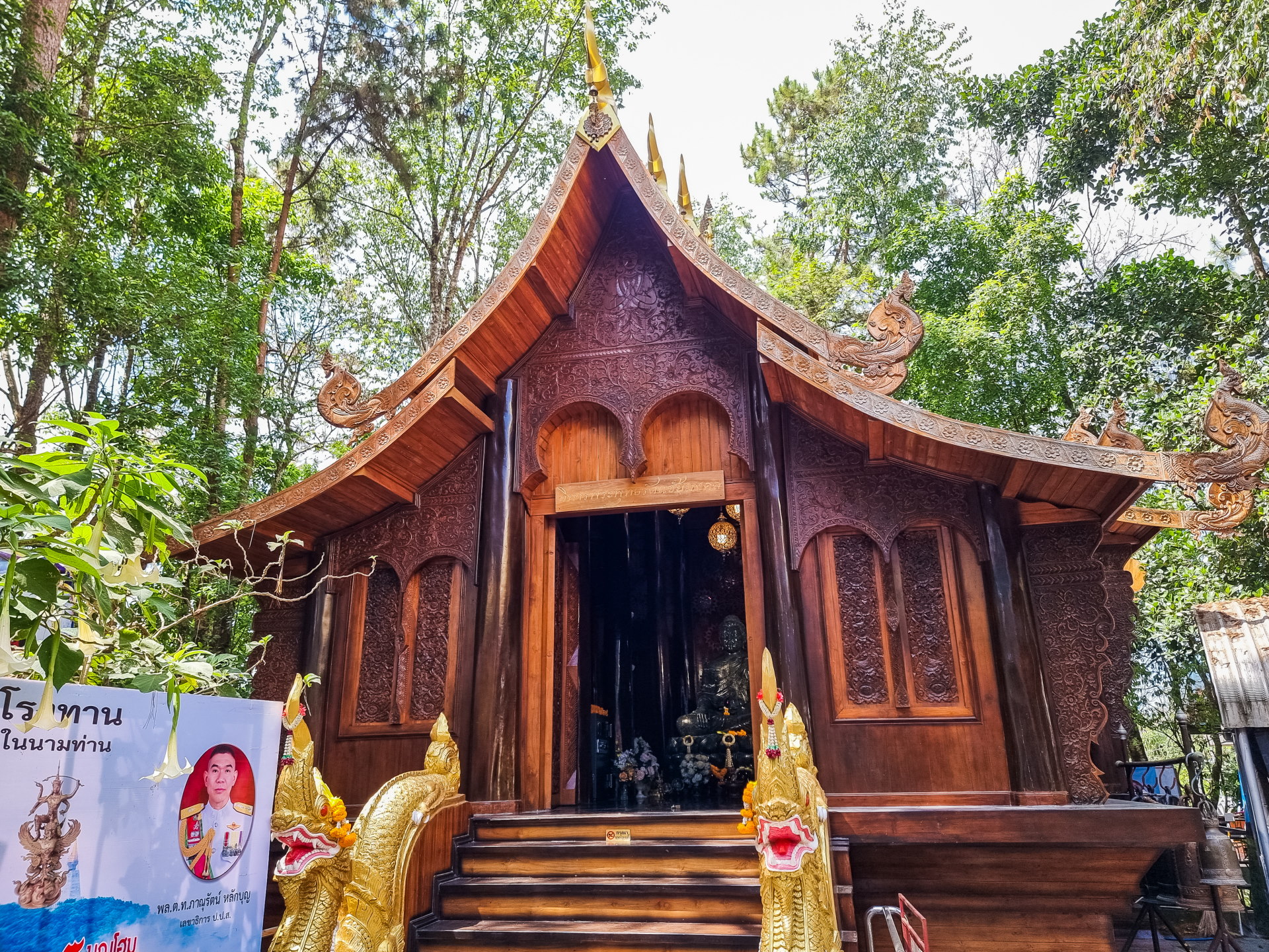
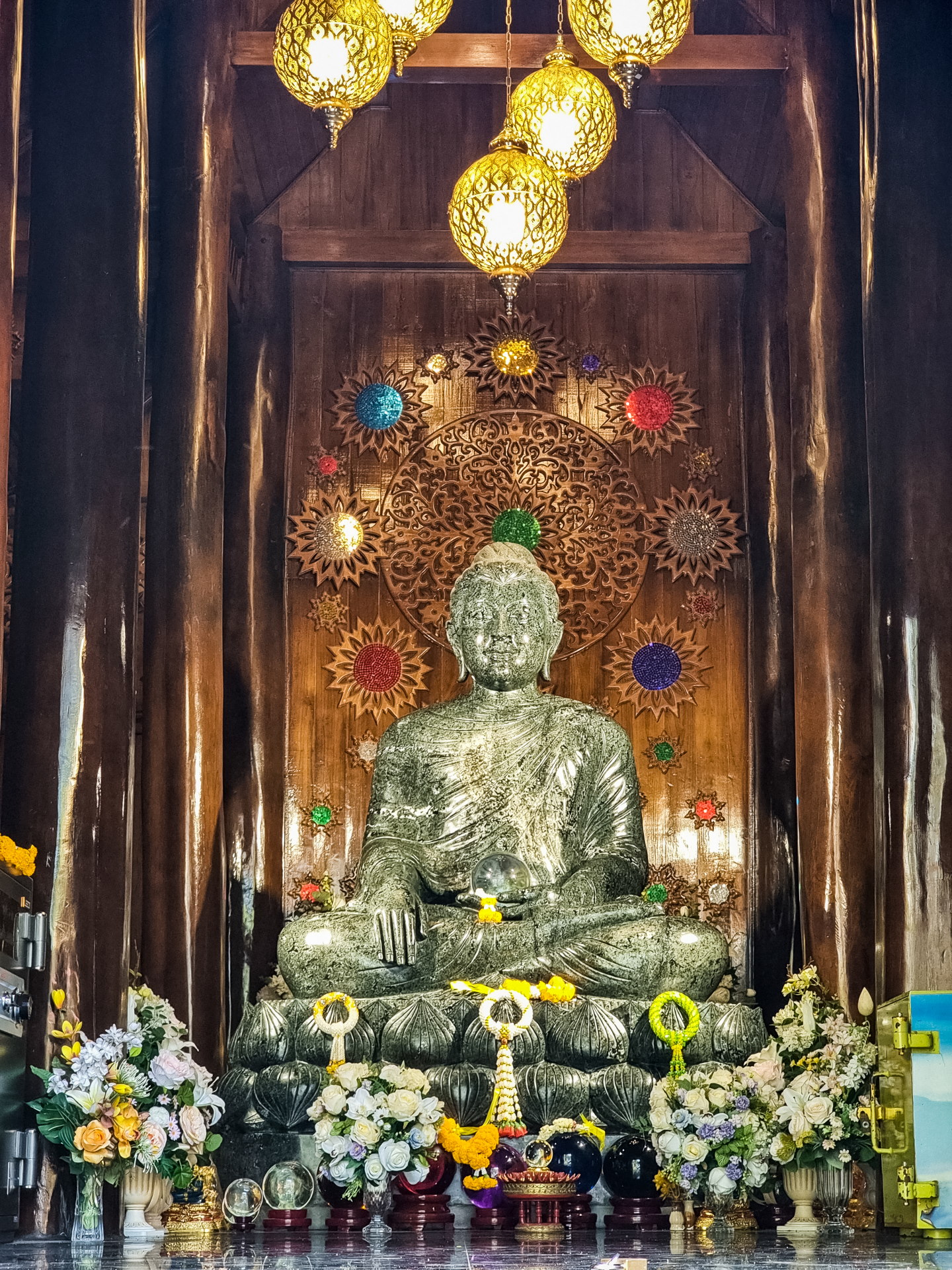
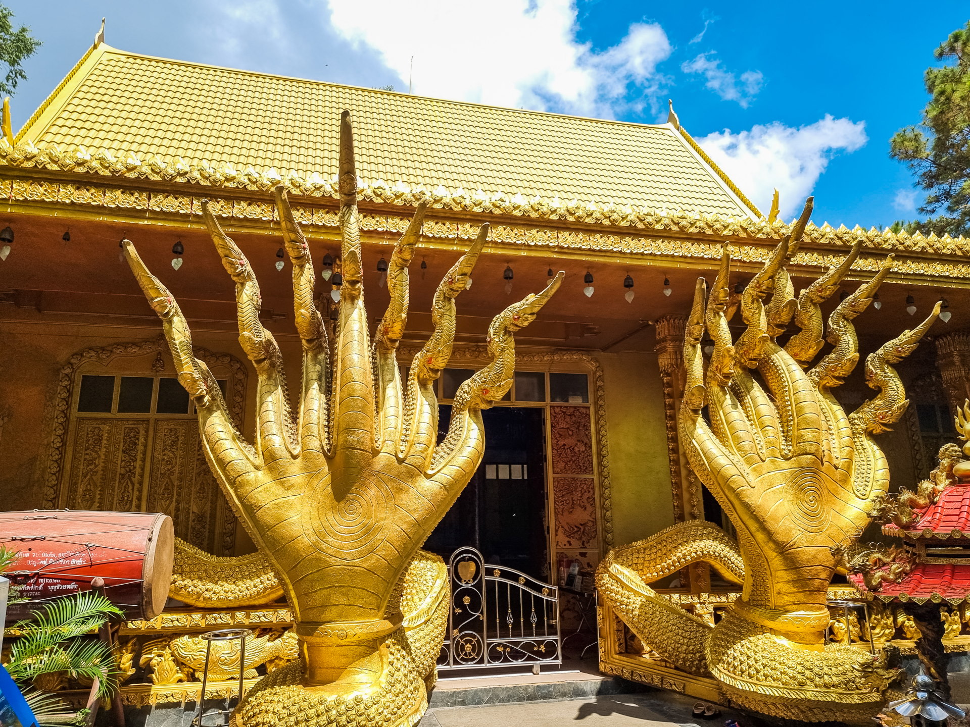
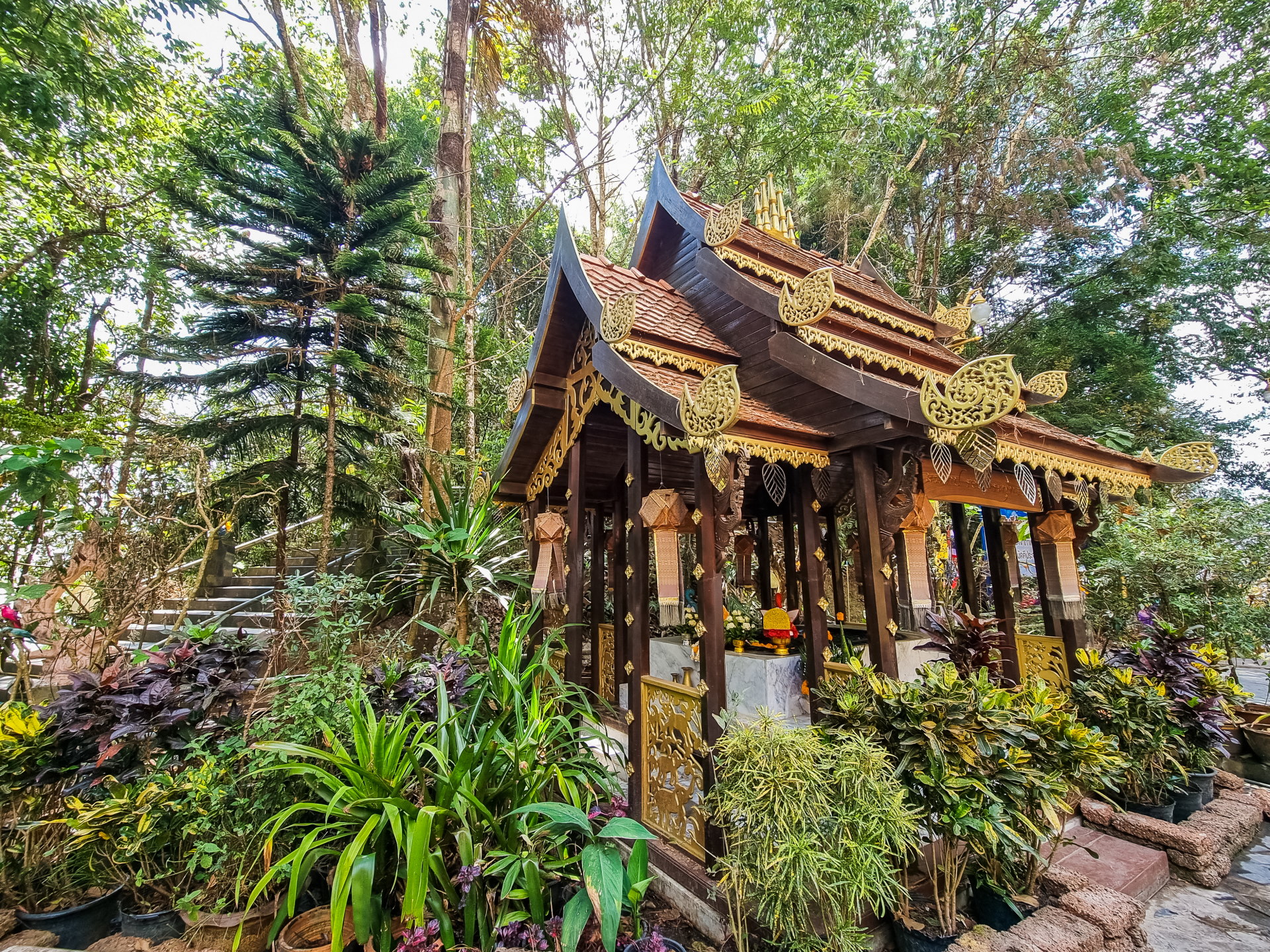
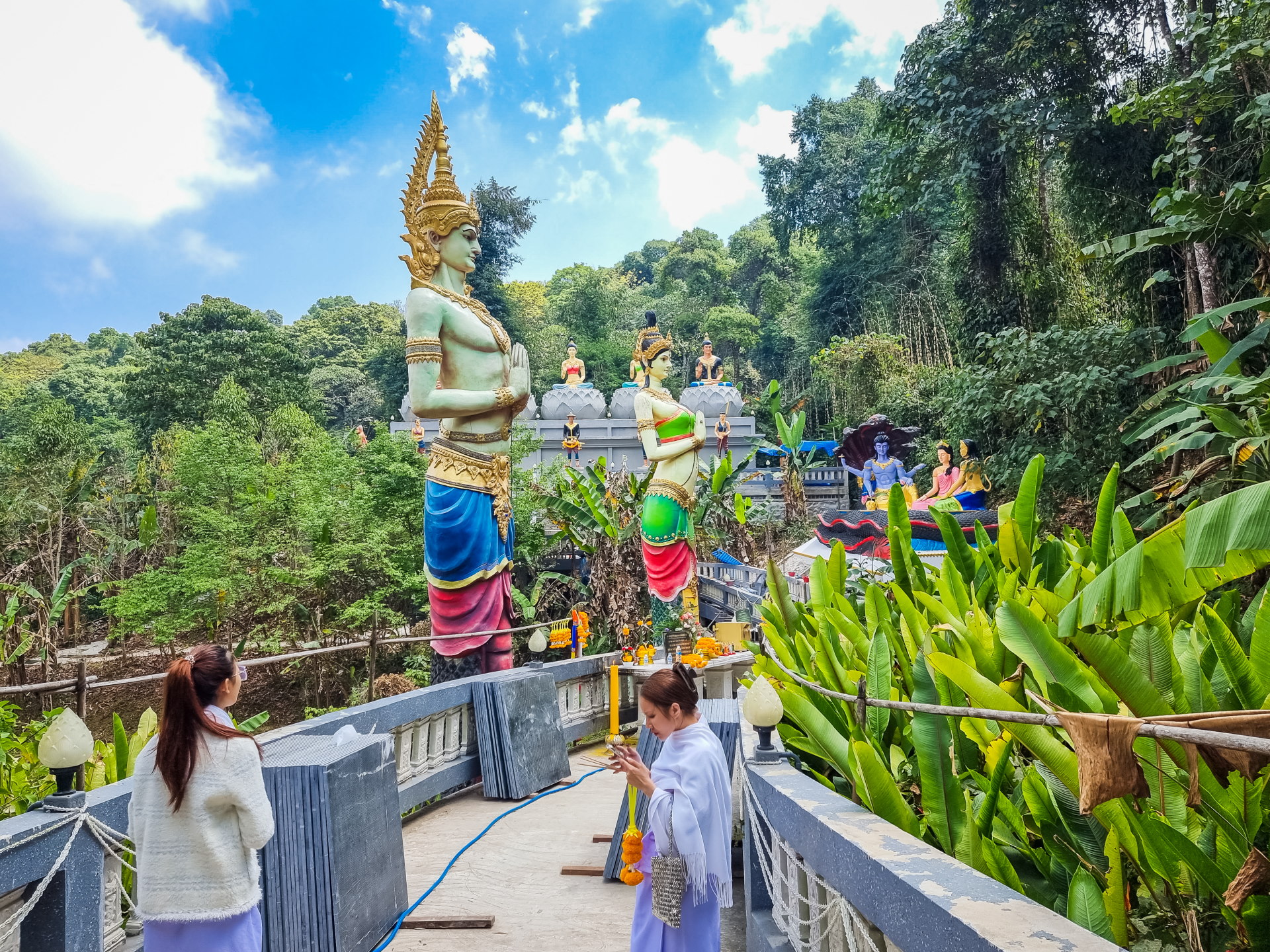
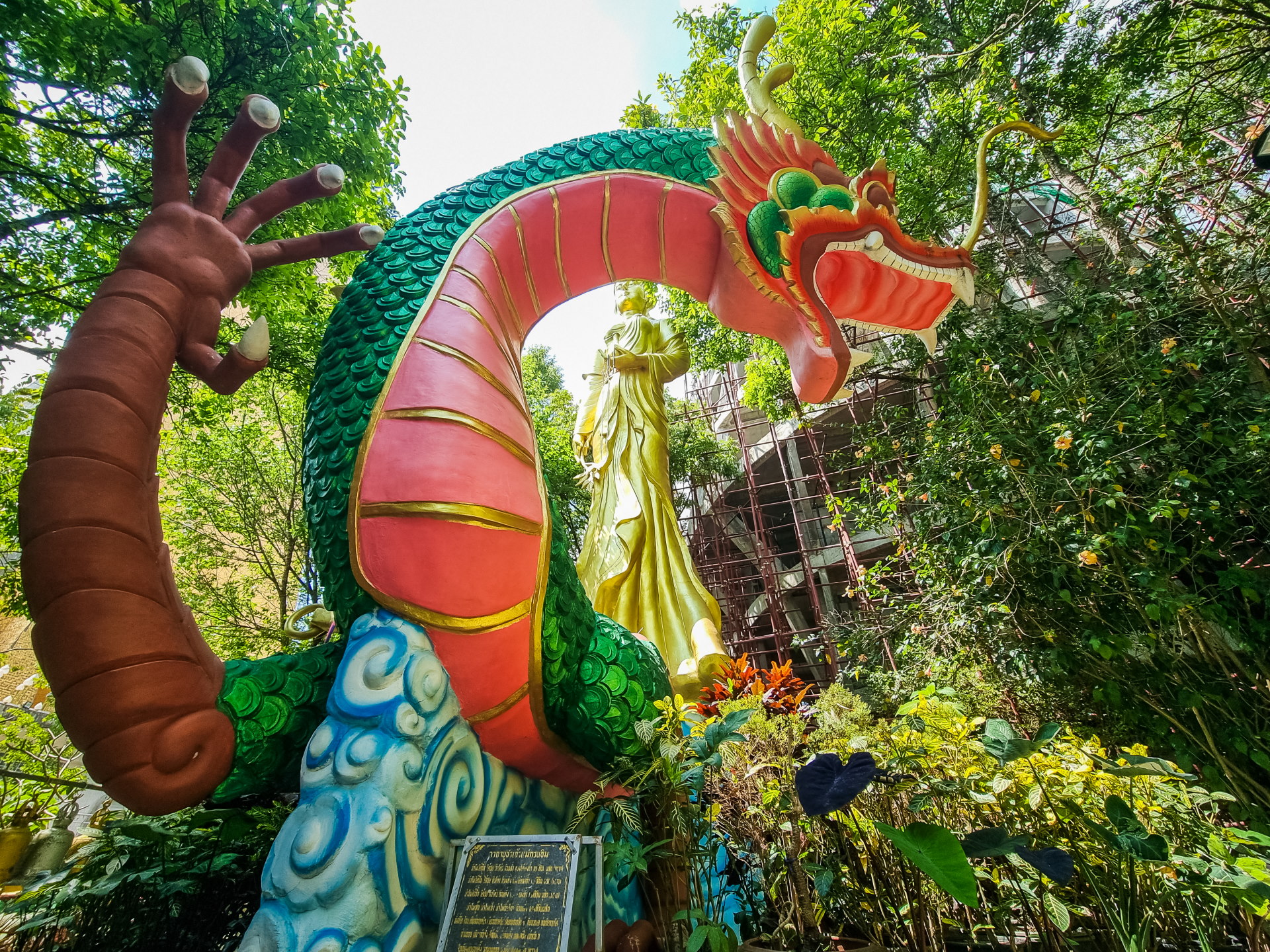
It is possible to walk around the temple via paths designed for meditation; these are lined with nagas and numerous statues of figures and deities, notably from Chinese mythology (hello dragon and Guan Yin).
However, my slight disappointment was that, given its location on a promontory, while I could see the chedi in the distance, I had hoped to see Phu Thap Boek in its entirety from the temple… which was not the case.
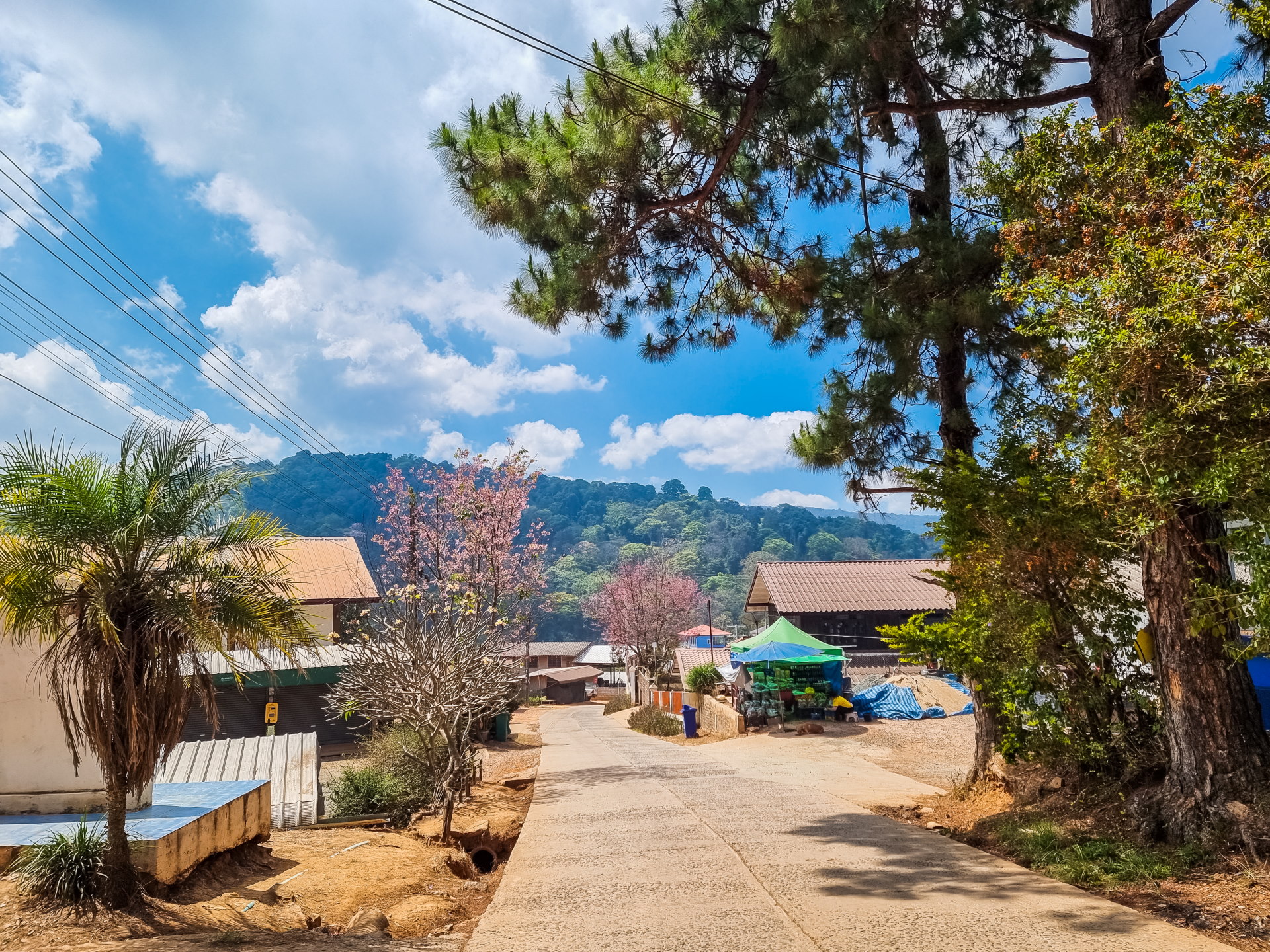
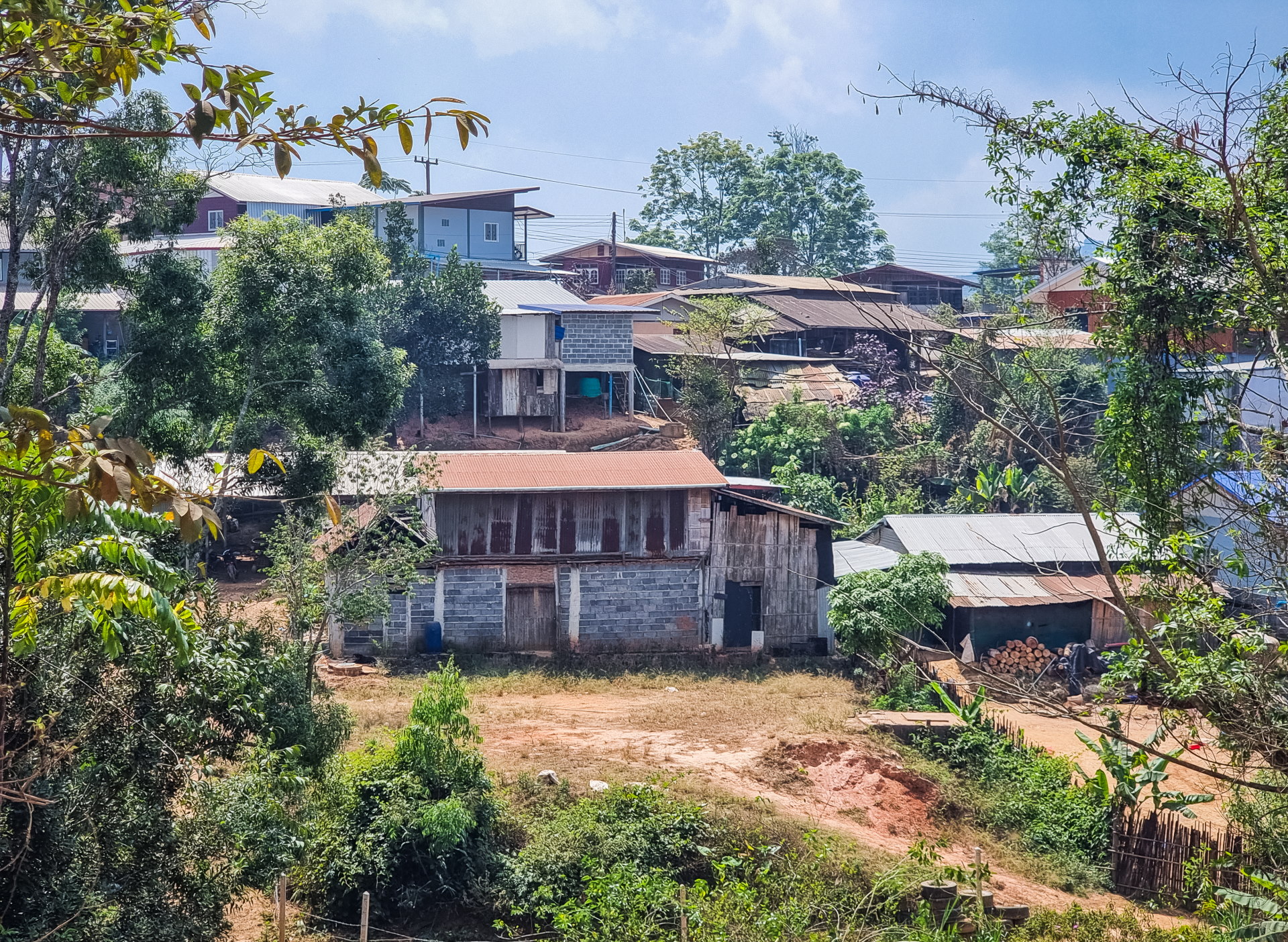
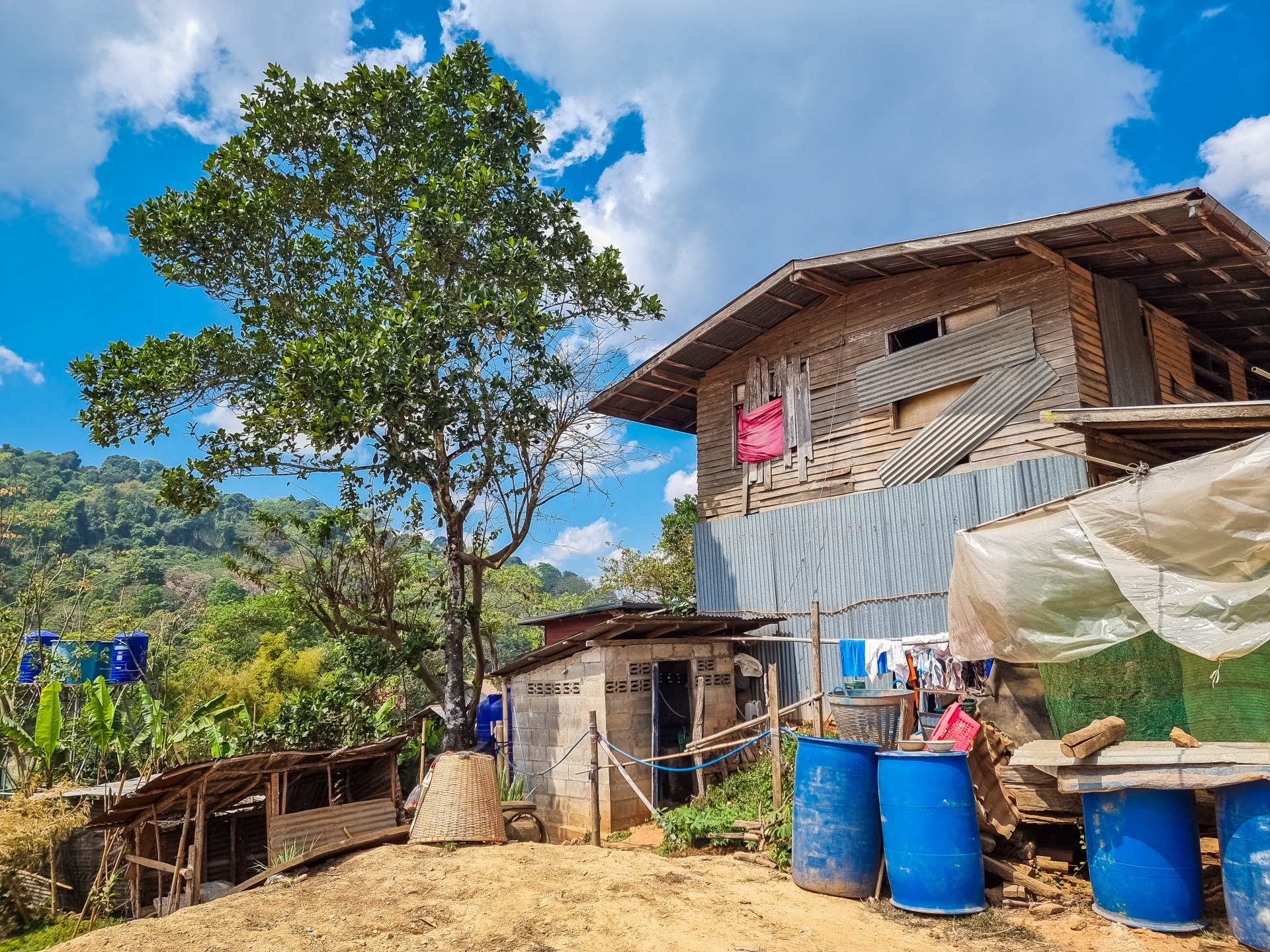
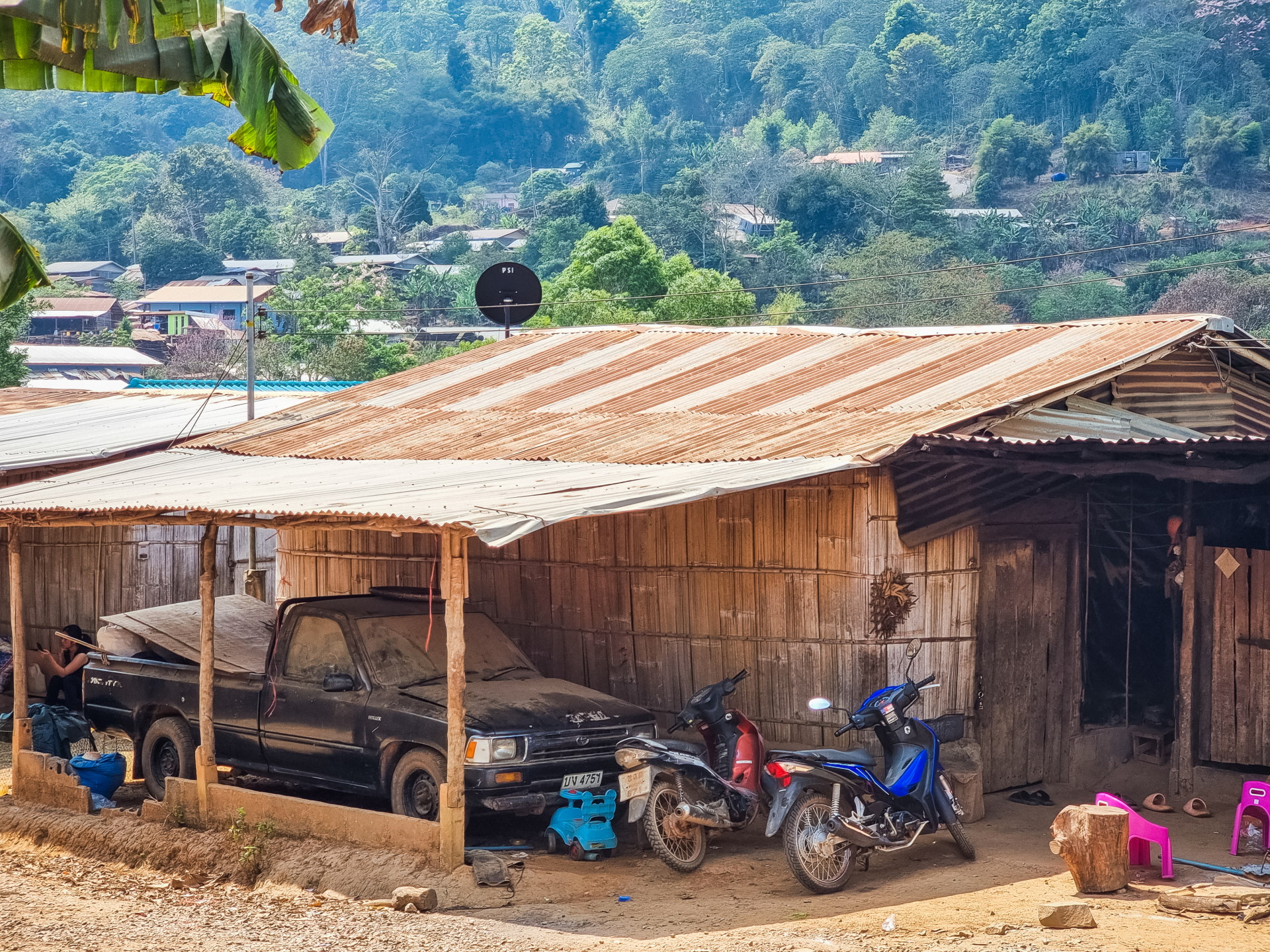
Regarding the adjacent village, I didn't linger there too long because, in itself, it resembles many villages I've already visited. But it has wooden houses, that typical peaceful atmosphere, and at this time of year, a few cherry trees were still in bloom, adding to the charm of the scenery.
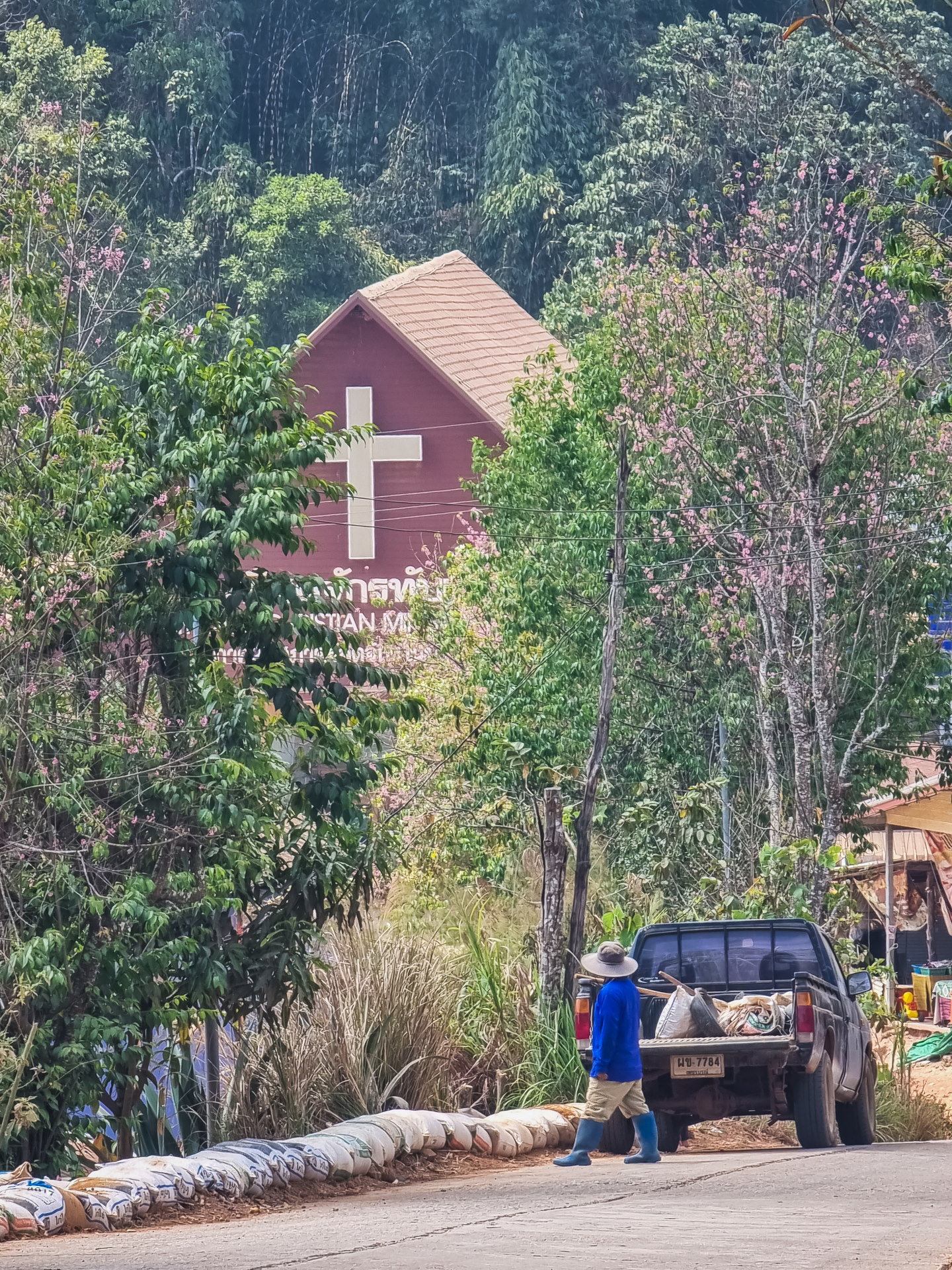
I also caught a glimpse of their church, which is quite common here since there are often Christian communities among the mountain ethnic groups, such as the Hmong.
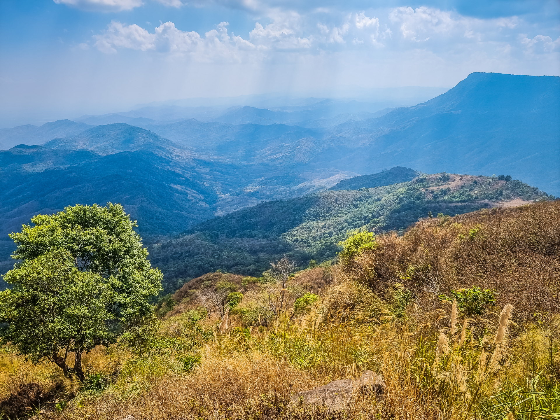
On the way back, I stopped at a viewpoint just before starting the main series of bends to descend. I hadn't seen it on the way there, because with my back to the road, I hadn't paid any more attention to the view from that spot.
But when I went back the other way, when I saw a space with a shelter where I could park, I didn't hesitate for a second to stop one last time because the view was so exceptional.
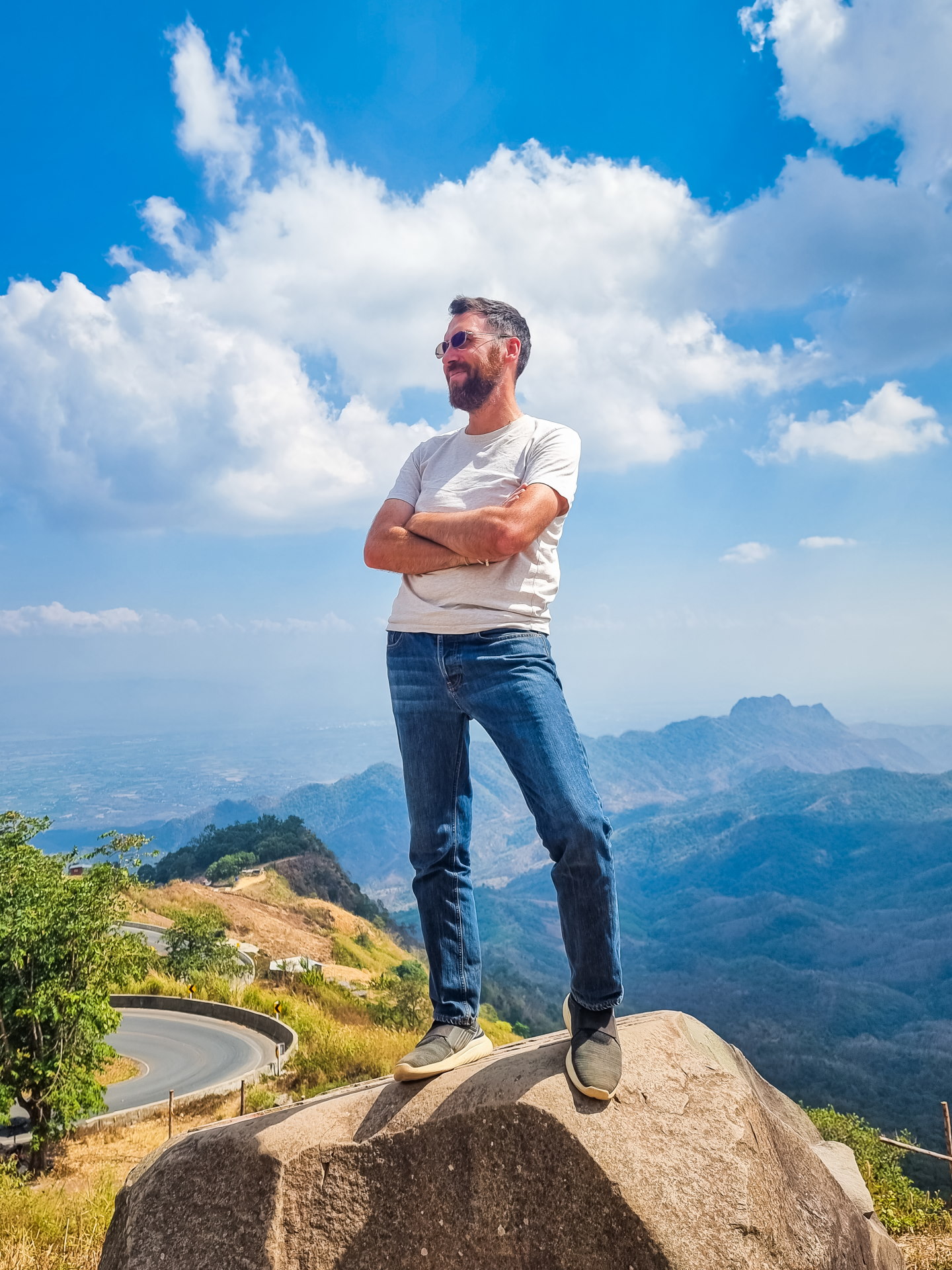
A Thai man passing through was also taking photos. Seeing me alone, he quickly approached me with the usual polite questions, then offered to take my picture. Normally, I would have politely declined, as it's not really my thing. But faced with his enthusiasm and the beautiful scenery, I didn't dare say no.
It was clear he was more experienced, because, caught up in the moment, he even offered me a few pointers on how to pose better. I left with a small series of photos of myself on a rock, with that panoramic view at the foot of Phu Thap Boek… a perfect way to end this little excursion!
Practical information for visiting Phu Thap Boek
When to come?
The most popular period extends from November to JanuaryWhen the nights are cool and the famous sea of clouds can blanket the valleys at sunrise, it's also peak season, with more people and accommodations filling up quickly. During the dry season (February to April), the sky is often clear, but heat haze can obscure the landscape. From May to October, the vegetation is greener, but rain can make the climb difficult or block the view.
Access & routes
Phu Thap Boek is mainly reached by car or scooter from Phetchabun, Lom Kao, or the Khao Kho area. The final stretch climbs very steeply, with numerous hairpin bends. During the rainy season, some sections can become slippery, especially on unpaved or damaged secondary access roads. A vehicle in good condition is strongly recommended.
Lodging
Numerous small resorts, bungalows, and simple accommodations can be found on the summit and along the ridge, almost all oriented towards the view. Comfort is often basic, but the main attraction remains the panorama and the cooler temperatures at altitude. Without a direct view, the appeal of staying overnight is significantly diminished.
What should we plan for?
Even in Thailand, nights can be chilly, especially above 1,600 meters, and particularly between November and January: warm clothing is essential. Remember to fill up your gas tank before setting off, check your brakes, and drive carefully, especially in damp or foggy weather.
Duration of visit
Phu Thap Boek can be visited in half a day from Phetchabun or Khao Kho. To give a precise time, I started the climb on the day the photos illustrating this article were taken shortly after 10 a.m., and I was back at the bottom shortly after 14 p.m.
Spending a night there makes perfect sense if you want to enjoy the sunrise and hope to admire the sea of clouds in the early morning.
What we can see around
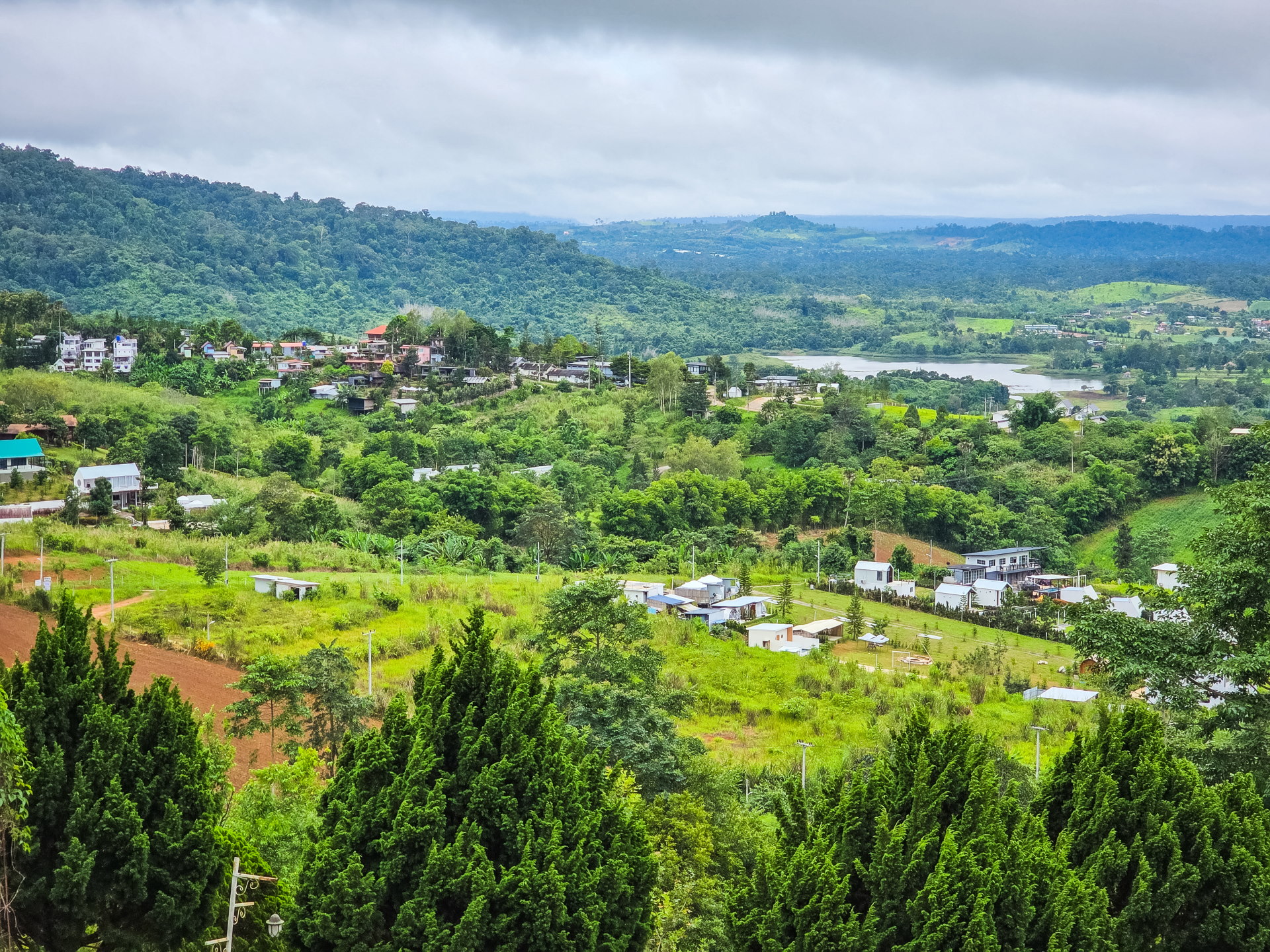
Phetchabun is a largely underrated province from an international tourism perspective. Yet, there are some interesting attractions (including one recently listed as a UNESCO World Heritage Site) that are well worth a visit of a few days:
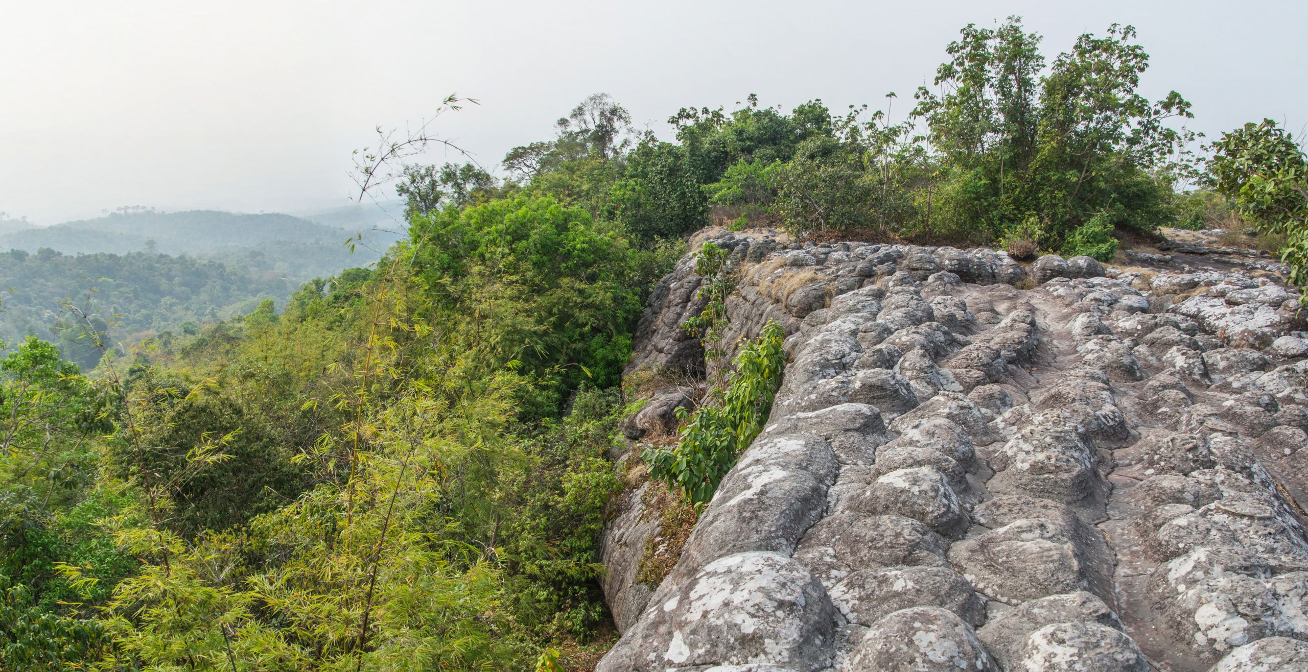
- Phu Hin Rong Kla National Park Known for its rock formations, remnants of the region's intense volcanic activity, it is located in the neighboring province of Phitsanulok, but is the closest attraction to Phu Thap Boek, about twenty kilometers away.
- Ban Rong Kla : if you are in the area between December and February, do not miss the natural spectacle of the ornamental cherry trees in bloom, especially at the village of Ban Rong Kla and the viewpoint of Phu Lom Lo, which will make you travel, since even though the distance between the two is only 8 km, you will then be in the province of Loei.
- Wat Phra That Pha Sorn Kaew Located an hour from Phu Thap Boek, it is the main attraction of Phetchabun, recognizable by its statue with five Buddhas and its chedi decorated with mosaics.
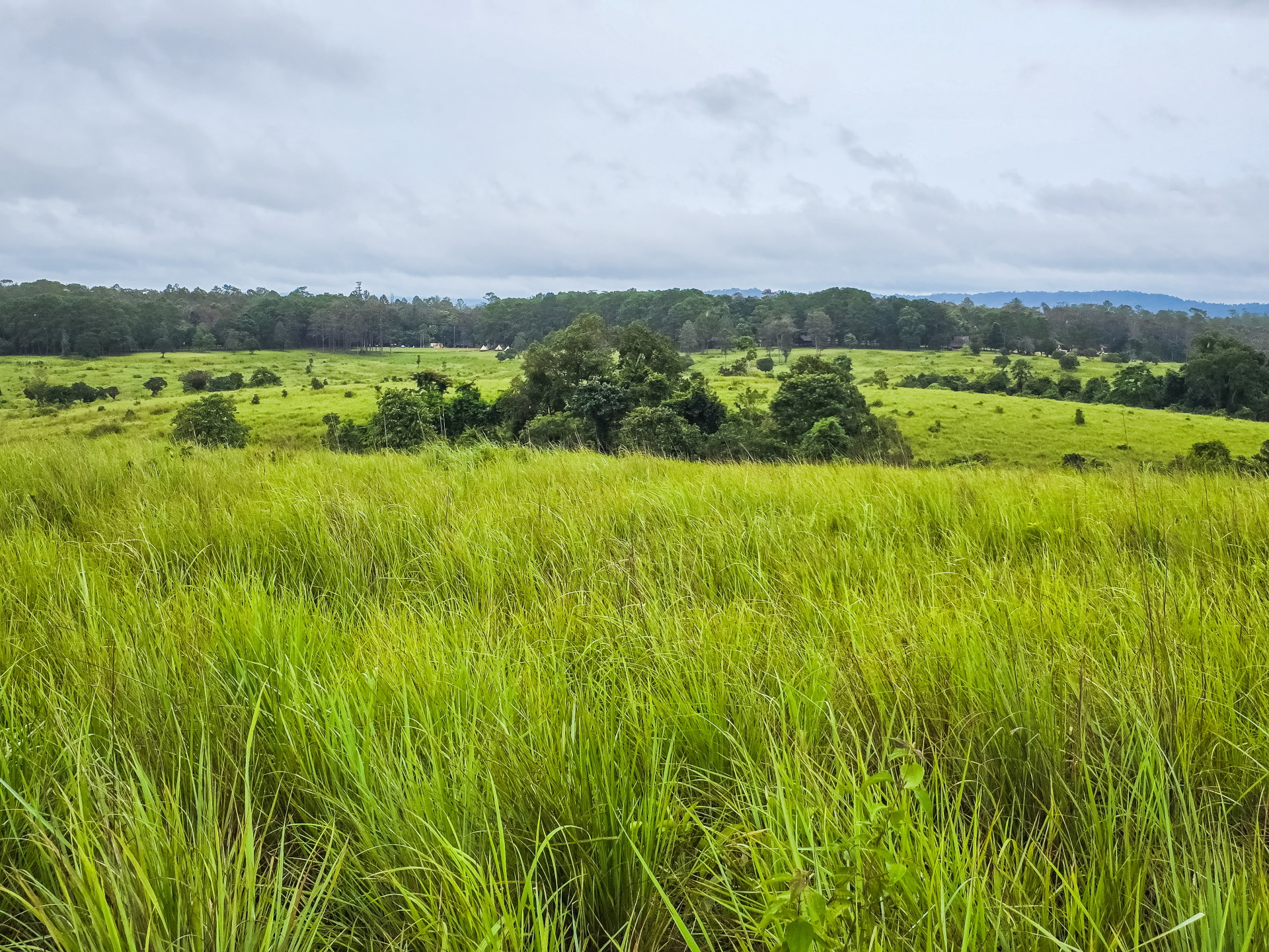
See my article here. - Thung Salaeng Luang National Park Further away, about 2 hours by road (closer to the city of Phetchabun), this national park is appreciated for its landscapes mixing grassy plains and pine forests, as well as some waterfalls scattered within it.
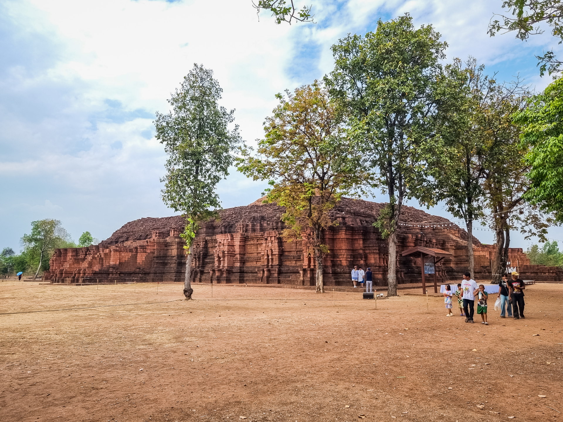
- Si Thep Historical Park (UNESCO) Further south in the province of Phetchabun, the Si Thep Historical Park is a small archaeological park dating back to the Dvaravati kingdom, predating ancient cities such as Sukhothai.
Conclusion: a popular place with Thais
There are places like Phu Thap Boek that can suddenly find themselves in the spotlight, enjoying growing popularity. What was originally just a mountain plateau inhabited by hill tribes, who found a climate conducive to the growth of various vegetables, one day rode the wave of domestic tourism.
Thais are particularly fond of the mountains in winter: the photogenic views, the desire to "experience the cold"—or at least a coolness sorely lacking in the lowlands—largely explain this enthusiasm. As a result, Phu Thap Boek has gradually transformed, adapting to these new visitors.
While some crops of all kinds still remain, the proliferation of buildings on the hillside is striking. I'll let you judge for yourself with a screenshot of the same spot, taken ten years apart.
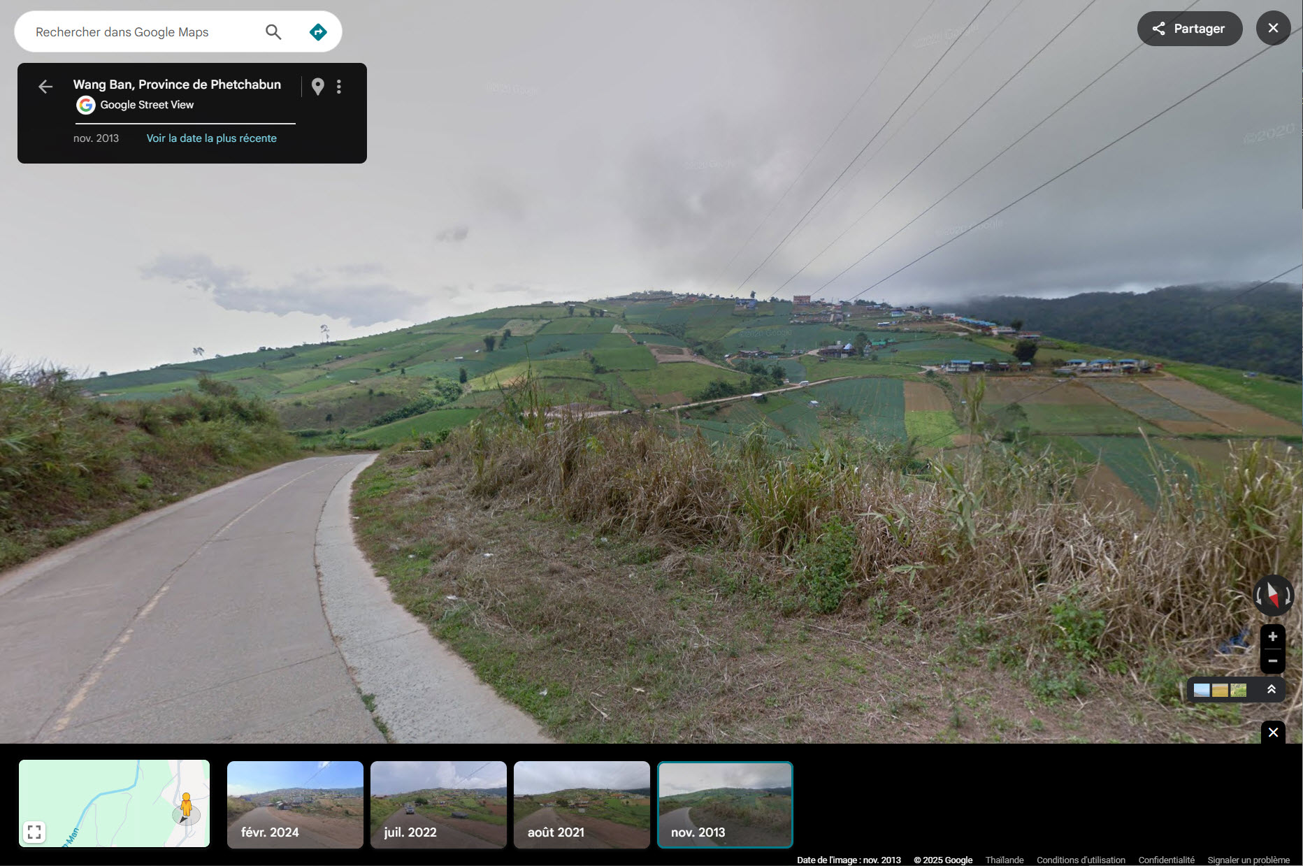 2013
2013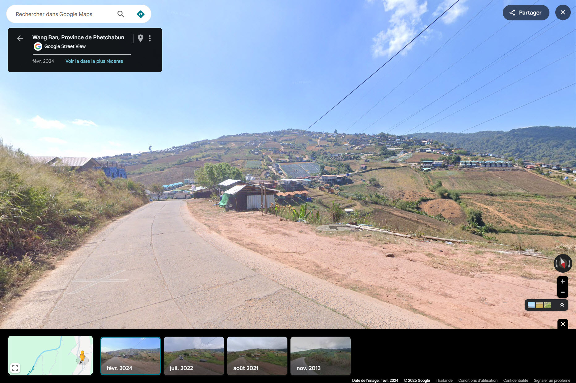 2024
2024There have even been abuses, to the point that Phu Thap Boek made headlines as some unscrupulous owners added structures in protected areas or areas not authorized to receive accommodation.
Overall, it's an opportunity to immerse oneself, for a day or a night, in the daily lives of Thai holidaymakers, to share a moment in their weekend routines, and to discover another facet of local tourism, far from the major seaside resorts.
Phu Thap Boek may not be a "wild" mountain, but it remains a unique place, perched above the plains. And despite the area's rapid and sometimes chaotic development, the mountain atmosphere, the climate, and the panoramas retain a certain charm. It's up to each individual to decide whether this elevated interlude is worth a simple stopover... or a night above the clouds.
