Here is finally the next article, I am the first to regret not being more regular but between work and our recent move requiring a lot of energy I have few opportunities to really get down to it.
I also struggled with inserting images which no longer worked, my photos now coming from my Picasa web albums.
But encountering recurring problems regarding the management of the blog (hence my tests too) I am seriously thinking of "flying on my own", namely becoming independent of a blog platform and for that:
Long live WordPress!
That's it for today's technical minute.
EDIT: If you're reading this, it's because the part of my blog that was on Over Blog has been migrated here to WordPress, as planned, and for the last 3 years, no regrets!
So yes, this is a direct testimony of how the blog used to work, in this case, before being on WordPress, I started on a blogging platform.
To make a long story short, when I "moved" to WordPress, I didn't want to start from scratch, so I imported my articles from Overblog, leaving all the text as is. Back then, blogging was a bit like a written podcast; we talked about everything, including "technical" details. And I'm leaving it here to preserve a record of this "passing of the torch."
The paradox is that I originally thought the site, which had become abandoned, would be deleted after a while, but it turns out it's still online to this day!
Day 1: Bangkok to Sangkhlaburi
The new year is already well underway and here I am only now focusing on our little New Year's getaway; the fact is that it's also the only "vacation" we've had since our stay in Vietnam almost a year ago!
This obviously needs to be put back into the context of the time, when I was writing without thinking about the "fixed" aspect of writing, which thus marked a story anchored in time but which, when reread years later, does not always make sense….
On the roads of Kanchanaburi
So we went to Sangkhlaburi, west of Bangkok, beyond the city of Kanchanaburi, but still in the province, near the Burmese border—it couldn't be clearer… It's a mountainous region, with its beautifully winding road and villages scattered along this, I must say, very pleasant landscape. Basically, in my opinion, the drive alone is worth it.
We will stop more than once to take photos, and sometimes we will even take pictures of the landscape directly from the car without even stopping lol.
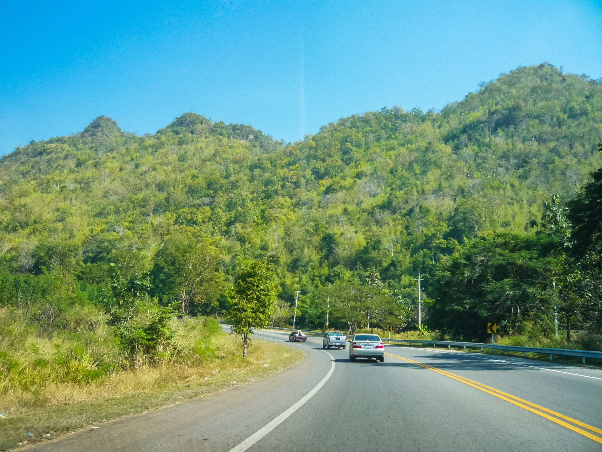
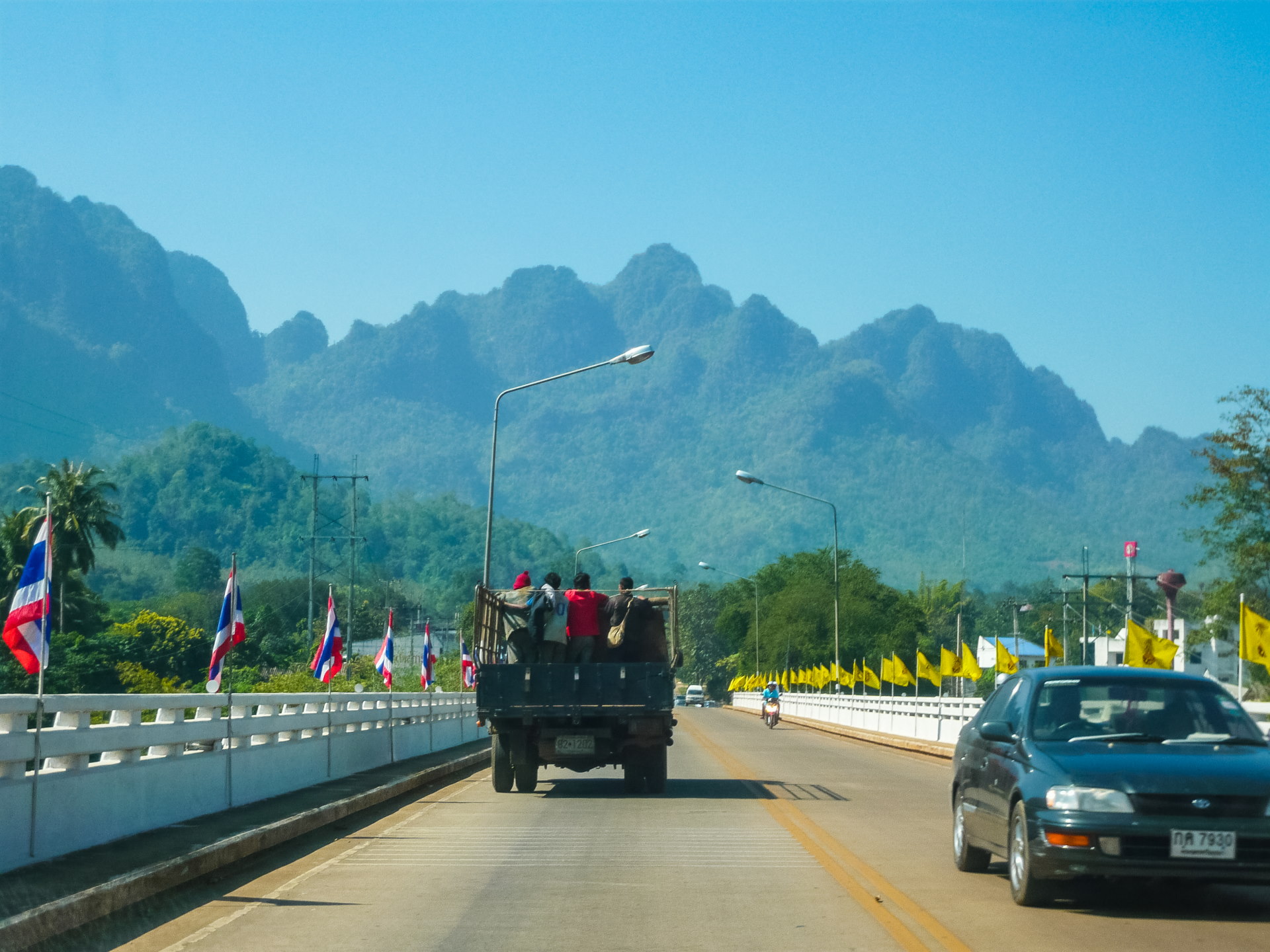
Among other things, the fact is that I took the wrong direction, we realized this when we struggled at a crossroads, because according to the map we were supposed to go relatively straight the whole time, and we were stuck at a fork where the choice was to go left or right but not straight ahead…
More than 30 kilometers from the previous intersection… where you had to turn right… it’s not always easy to find your way without GPS.
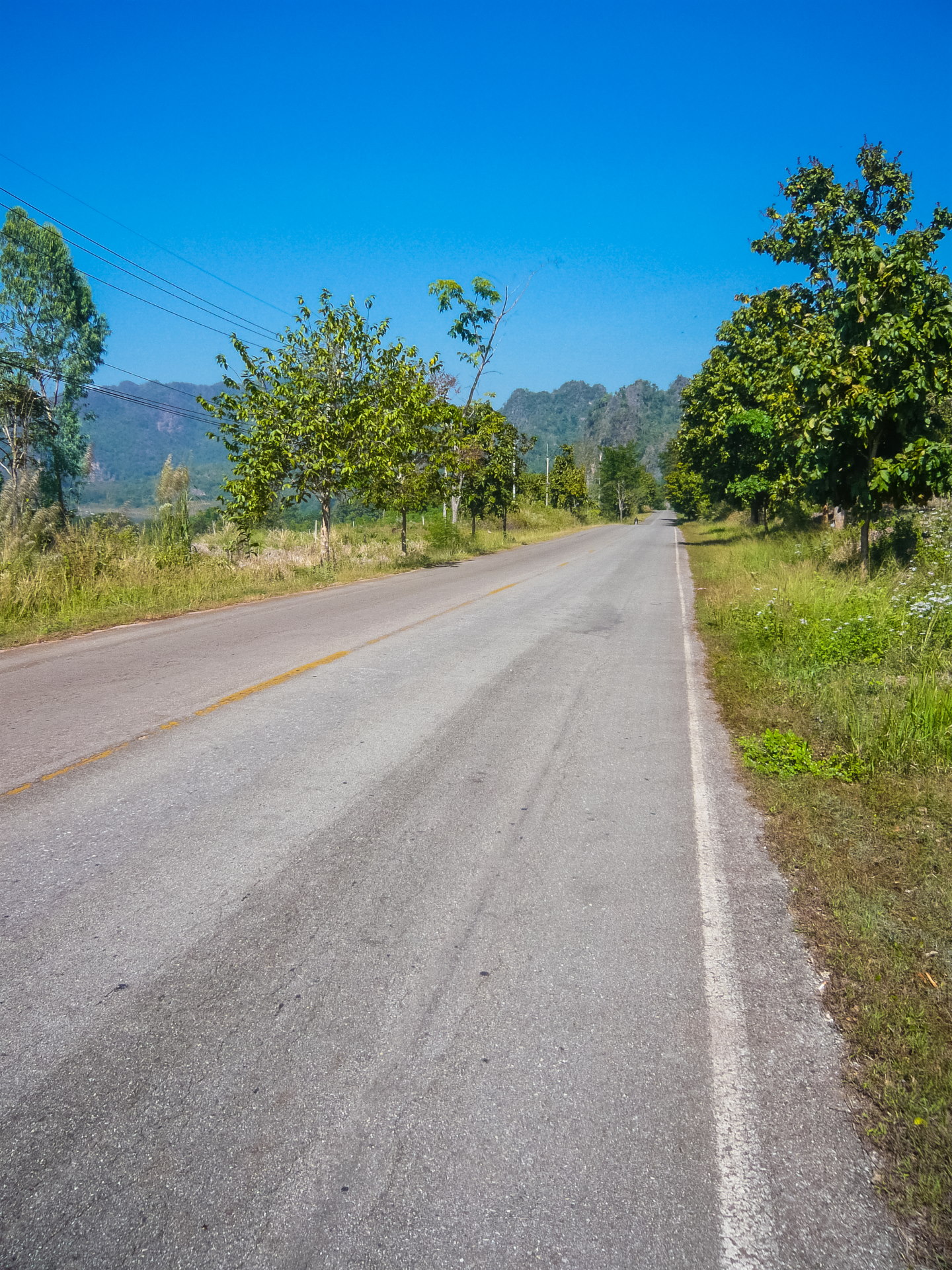
To put this photo in context : at the time, I didn't have a GPS. I planned the route with a road map and, on its scale, Route 323 seemed to run almost straight between Kanchanaburi and Sangkhlaburi.
When I crossed the bridge visible in the photo, I had just missed the turn. I found myself on Route 3272, which runs alongside Khao Laem Lake, about fifty kilometers as the crow flies from Sangkhlaburi. The fact that the road was becoming increasingly quiet had intrigued me a little, without really alarming me: I figured that few people must venture this far, and the presence of the lake made me think, "We're good!"
Except that, precisely… I should have reacted when I noticed that the lake appeared on our right, when it should have been on our left if we had followed the correct road… It crossed my mind, but since I was convinced that I didn’t have to change direction, I thought that a particular passage might give that impression.
I didn't know it, but I would eventually voluntarily return to this route more than 10 years later, to reach Pilok.
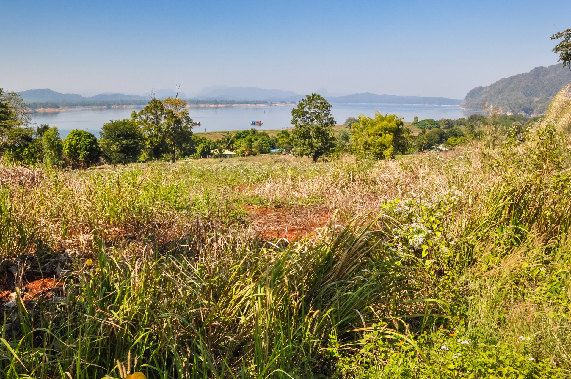
This impromptu detour cost us a good hour and a half, but fortunately, from the crossroads I had missed (even though it was clearly marked by a sign… I didn’t even notice it because I was in “go straight ahead” mode), there was still about 1 hour 30 minutes to reach Sangkhlaburi, so plenty of time to arrive before nightfall.
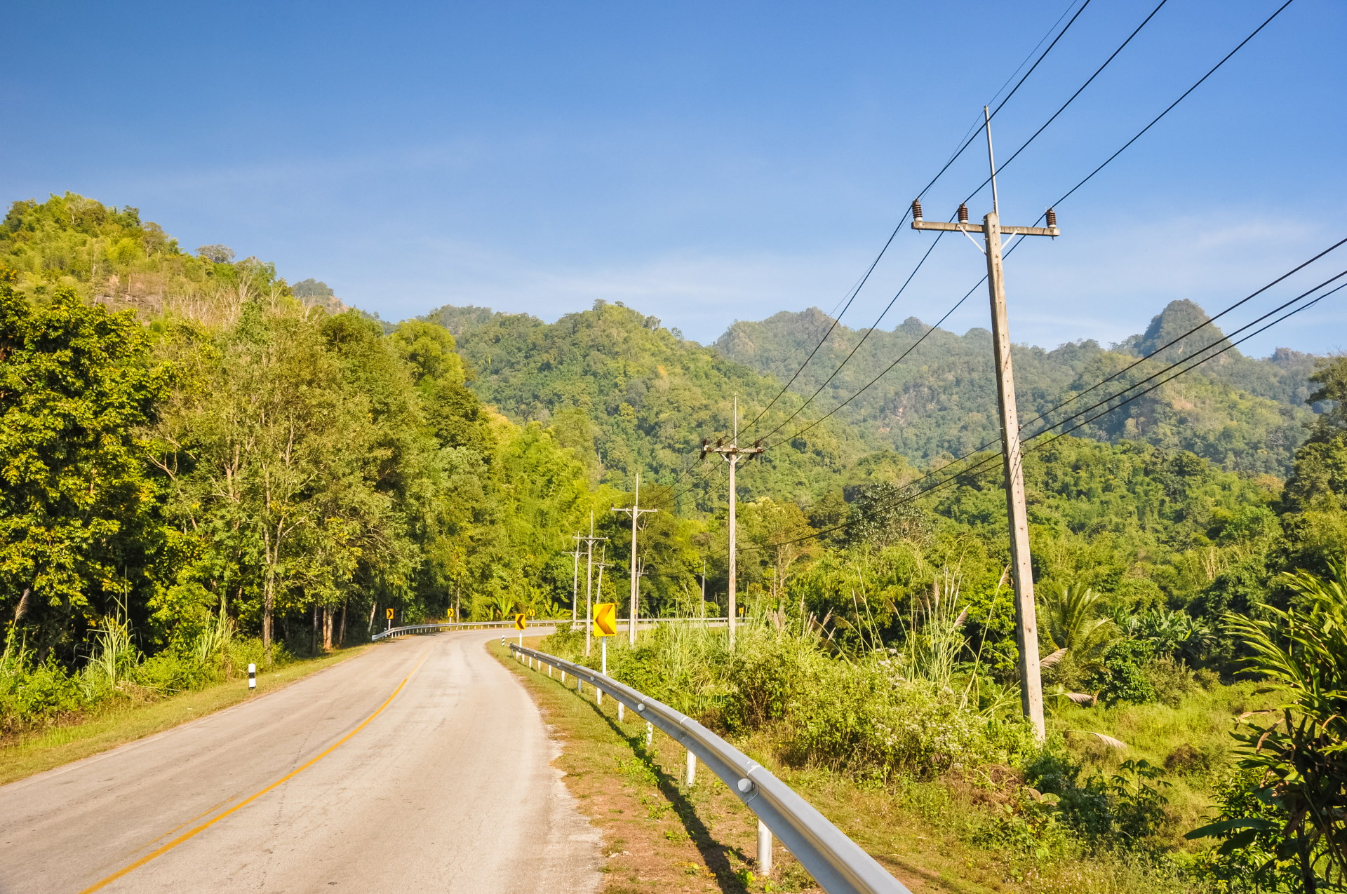
Since we still had some time, we didn't hesitate to make stops whenever the scenery was right. And indeed, at one point less than a kilometer before the developed area of Khao Laem National Park (where there is a campsite and a waterfall, Namtok Ka Teng Cheng), I found a spot to park and take some photos of the artificial lake, also named after the dam creating this enormous reservoir, Lake Vajiralongkorn.
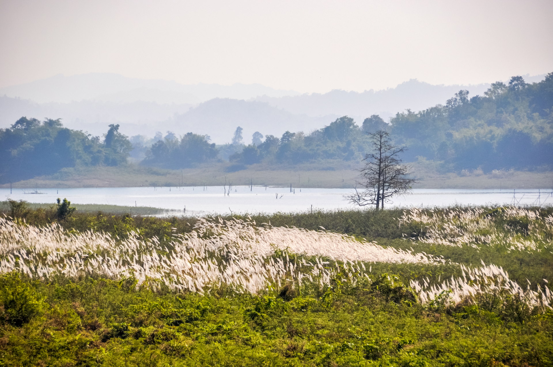
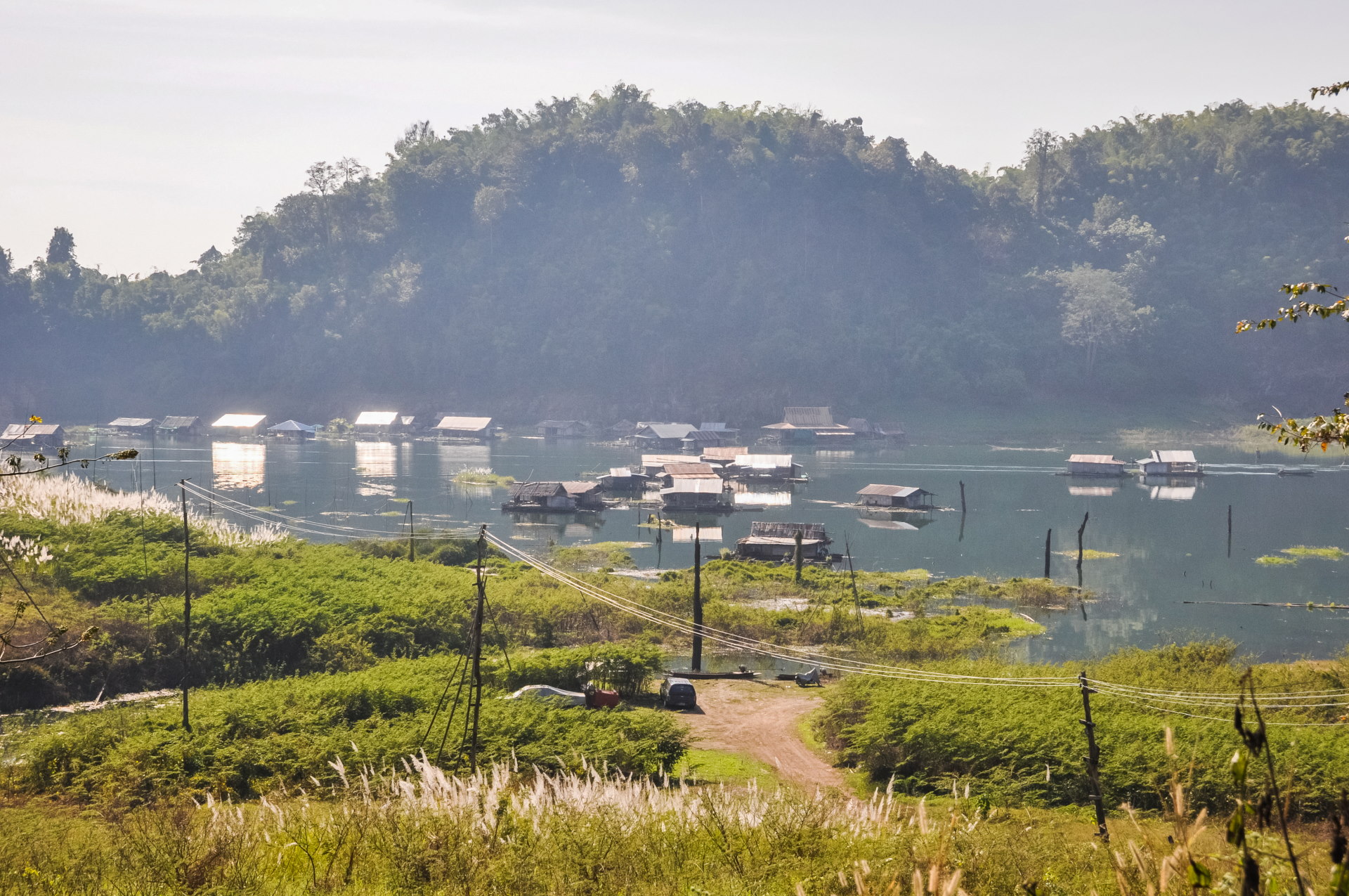
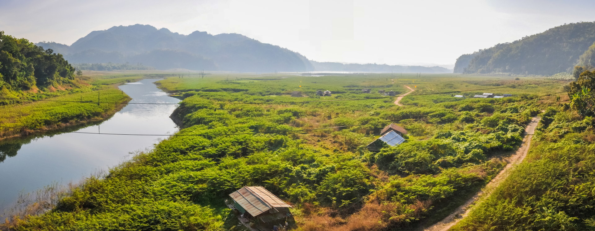
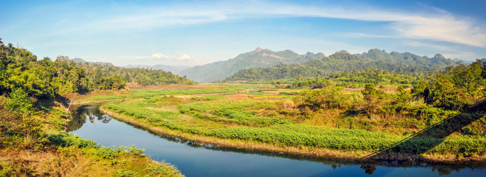
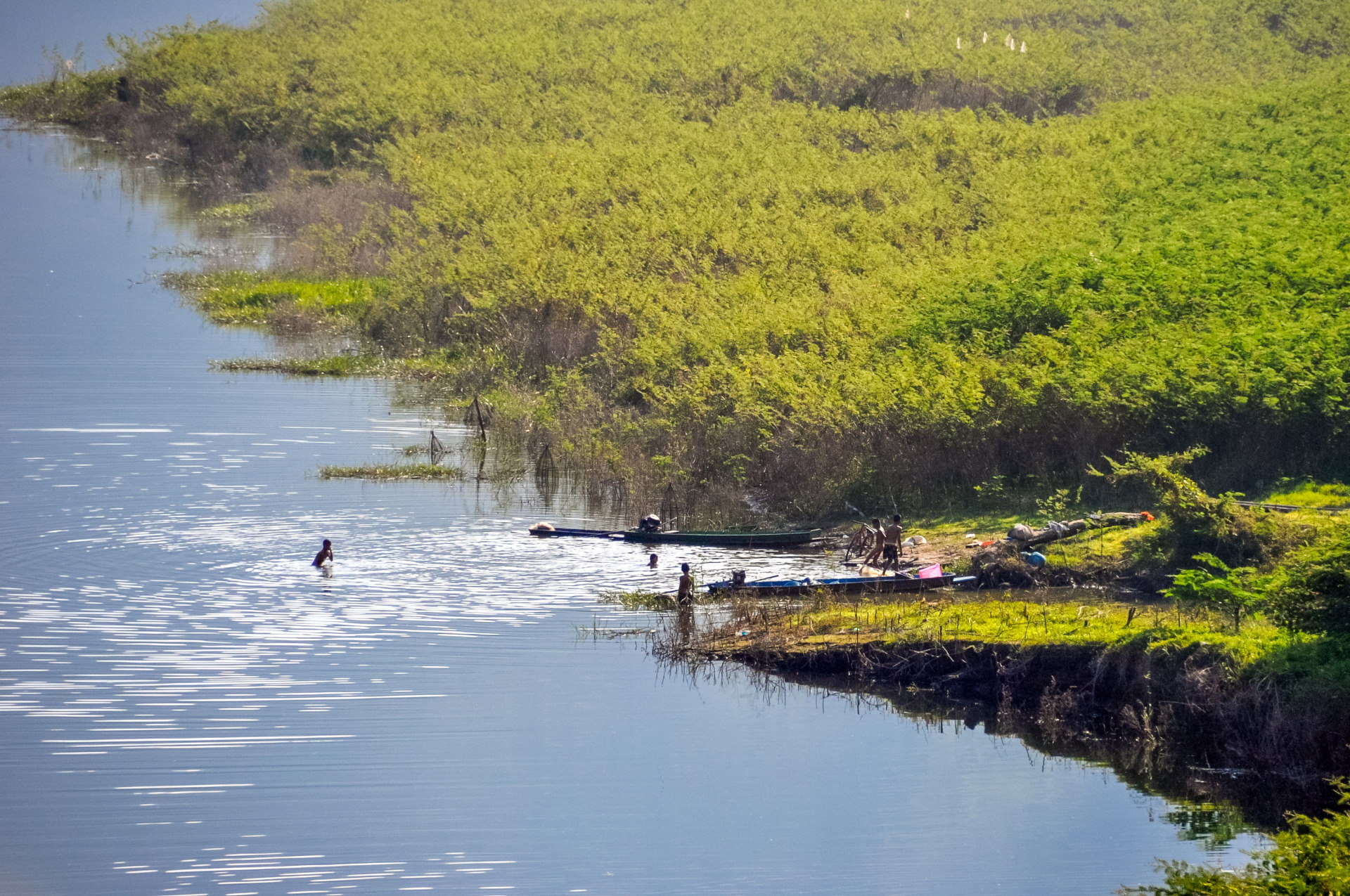
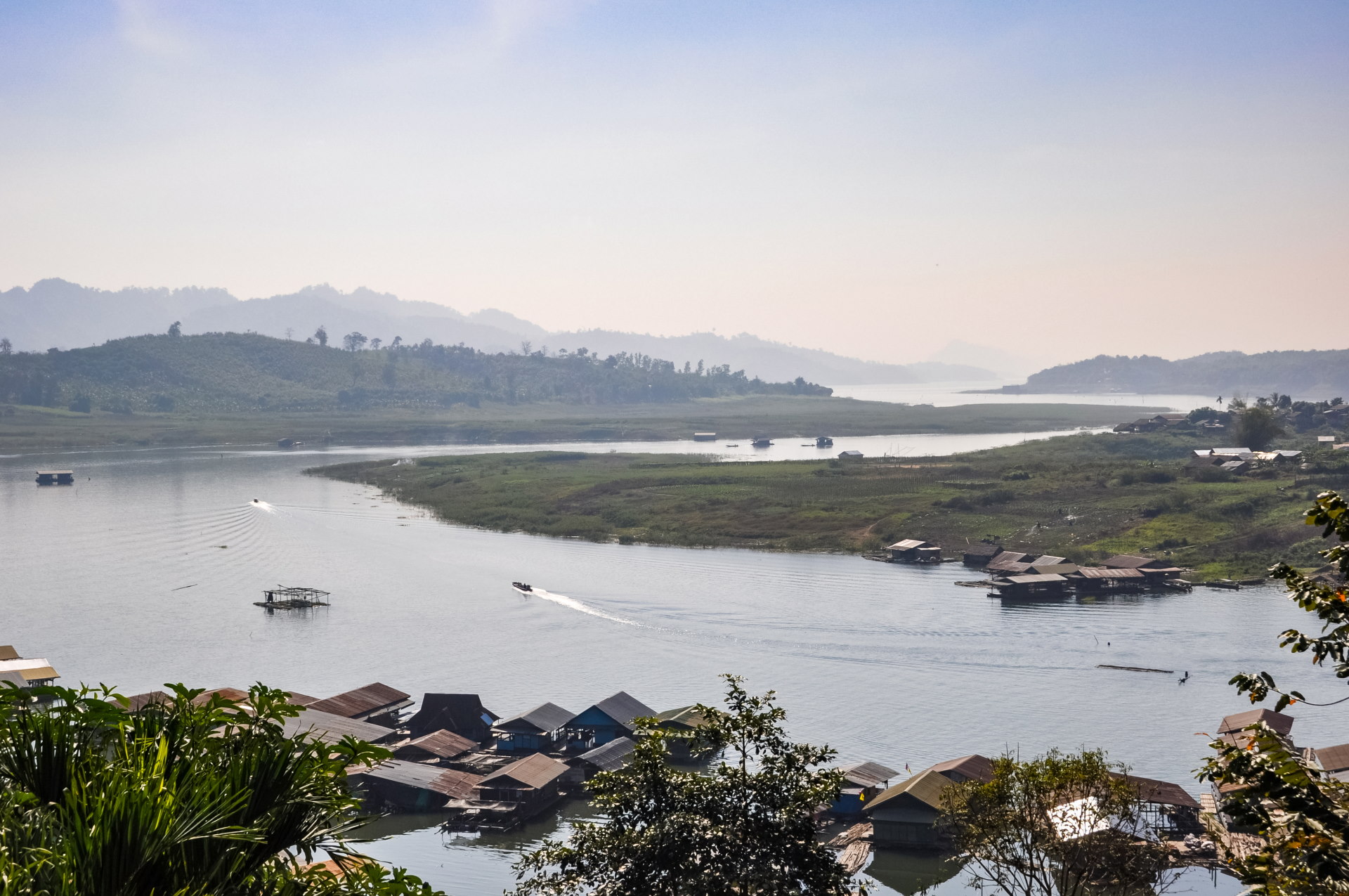
Twenty minutes later, we reached a bridge, Rantee Bridge, spanning a branch of the sprawling lake. The lake offers a superb panorama of the mountains and the reservoir where other houseboats are located.
The water level varies each year, so the view is never quite the same if you pass by several times. That year, the water level was particularly low for December.
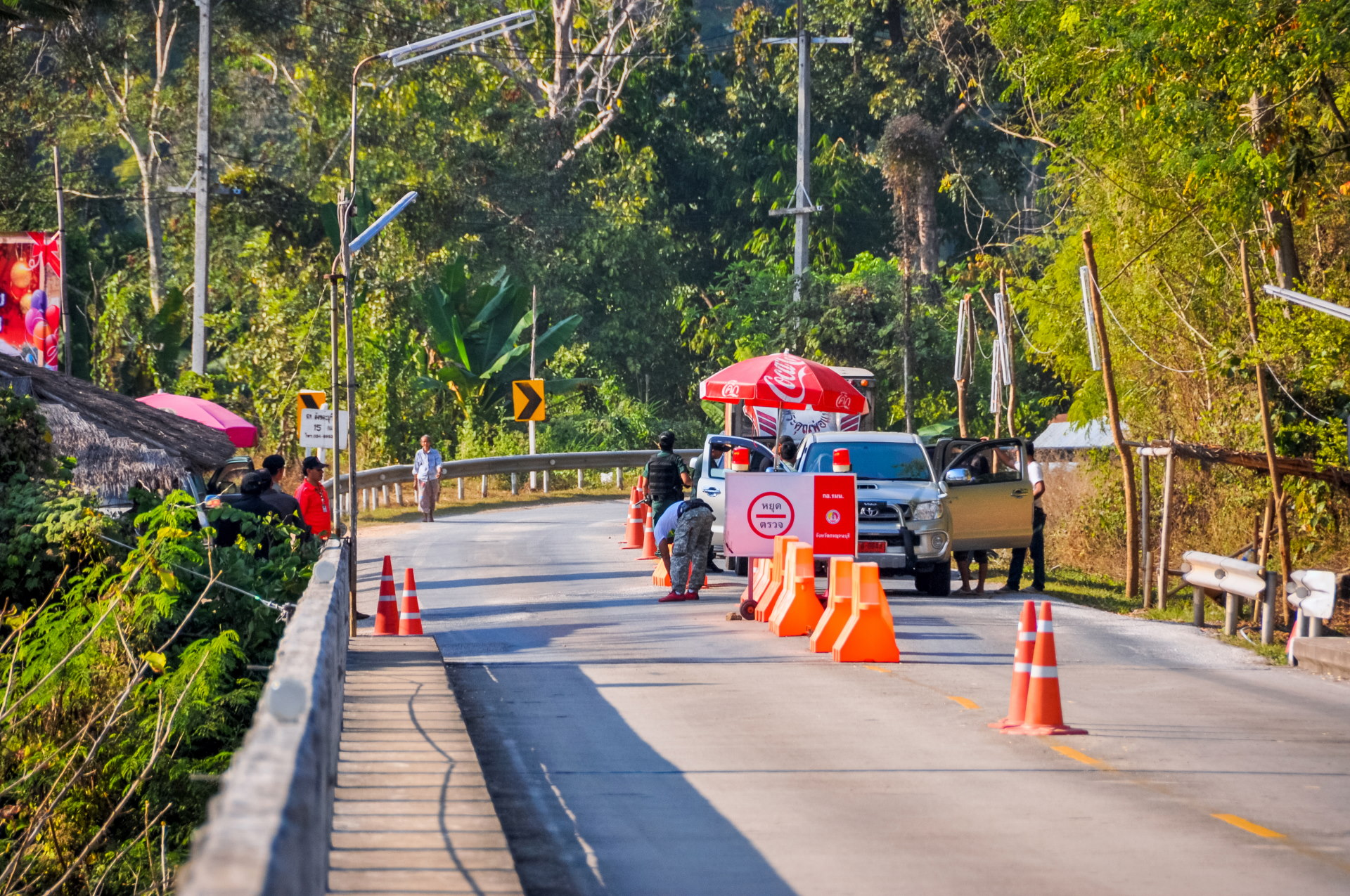
As we get closer to the border, it's normal to encounter checks of this kind, looking for weapons and possible drugs; armed with shotguns, these guys aren't there to joke around… As an aside, I'll get checked quickly, just on principle, because I stopped in the wrong place to admire the view (there's a parking area 10 m further on…).
A few kilometers further on, we arrived at a temple ( Wat Somdet ), whose Buddhas lined up right by the roadside prompted me to stop for a moment. Built in the Burmese style, you could clearly feel that you were arriving at your destination (more than clearly, because in fact it was at the next intersection on the left, less than a kilometer later…)
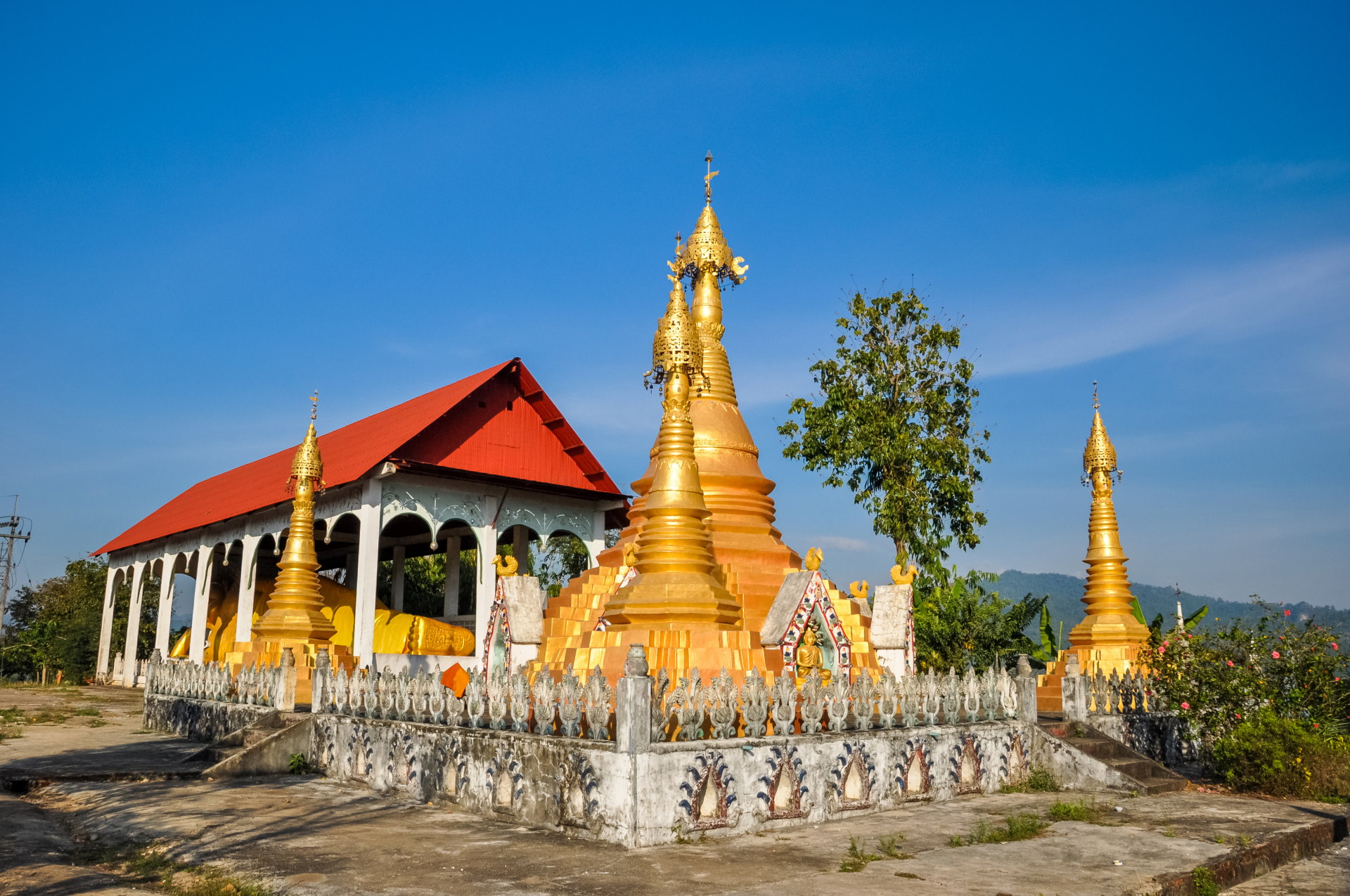
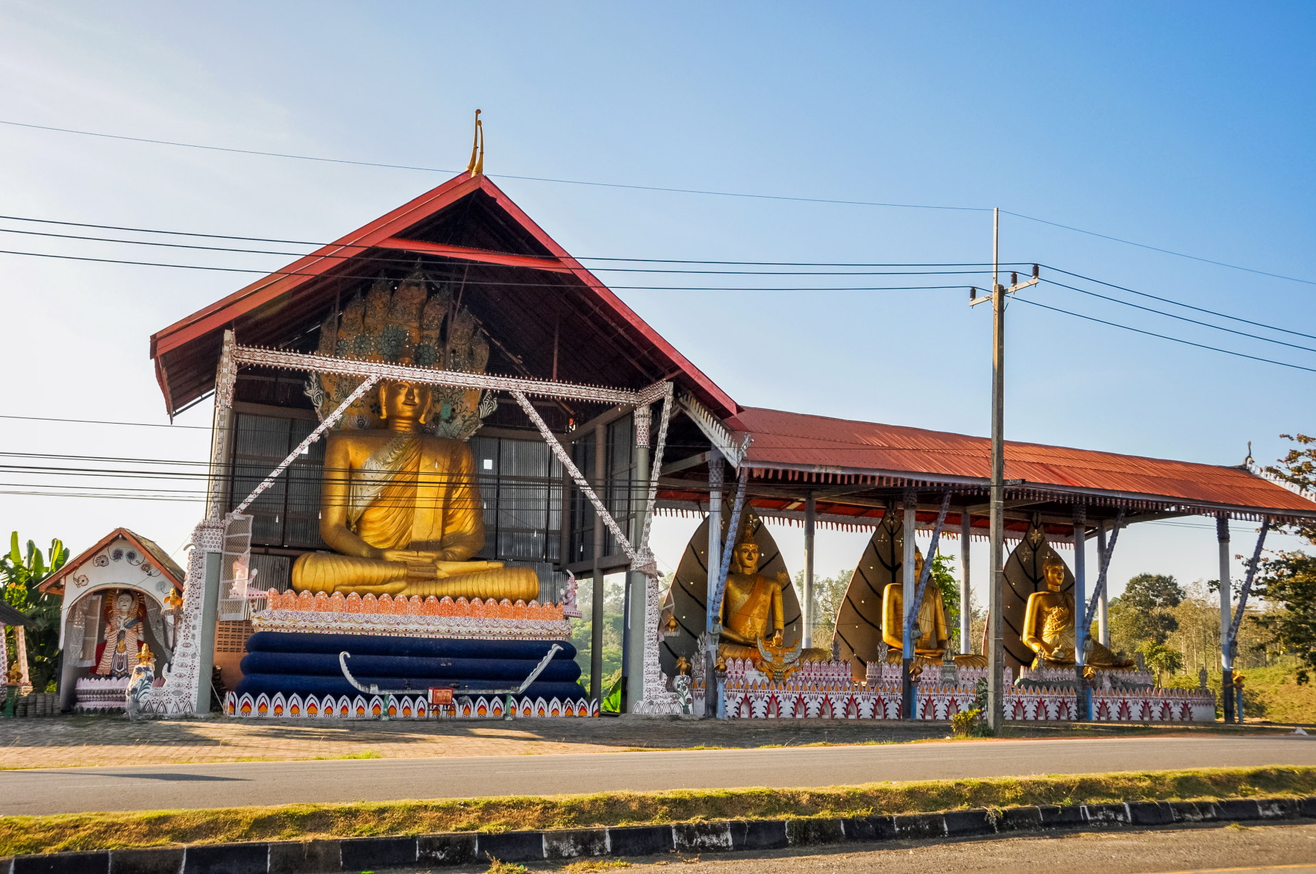
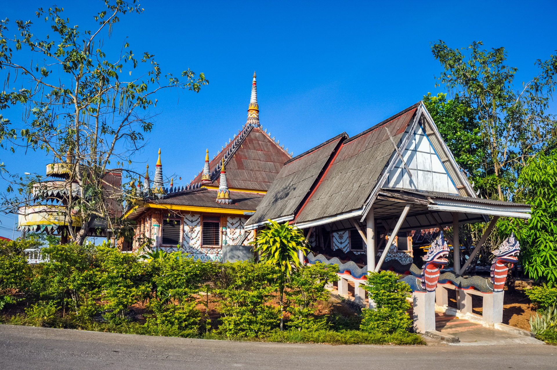
The text under the photo is original (no italics if you're following), but it shows how much it has evolved there too.
While Sangkhlaburi already benefited from domestic tourism at the time, this has since increased significantly, and the general standard of living in the country has risen. If you look for the building in the photo, it no longer exists: it has been replaced by a brand new two-story structure. This illustrates the contrast between my observation at the time and now…
So, after that, we arrived in the "city" itself, city in quotes because it's really tiny (but there's still a 7/11, lol); it's about 16:30 pm, so it took us a little over 7 hours (including breaks and photo stops).
Immersion on the shores of Khao Laem Lake
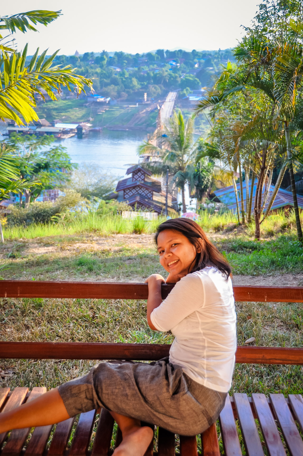
So, in the late afternoon, we arrived at our hotel ( which still exists, it was the Sam Prasob Resort ), located on a small hill opposite the famous wooden bridge which even has its own nickname: Uttamanusorn Bridge.
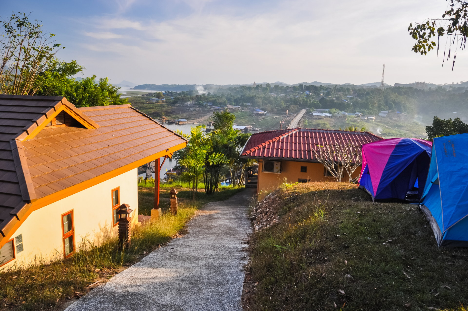
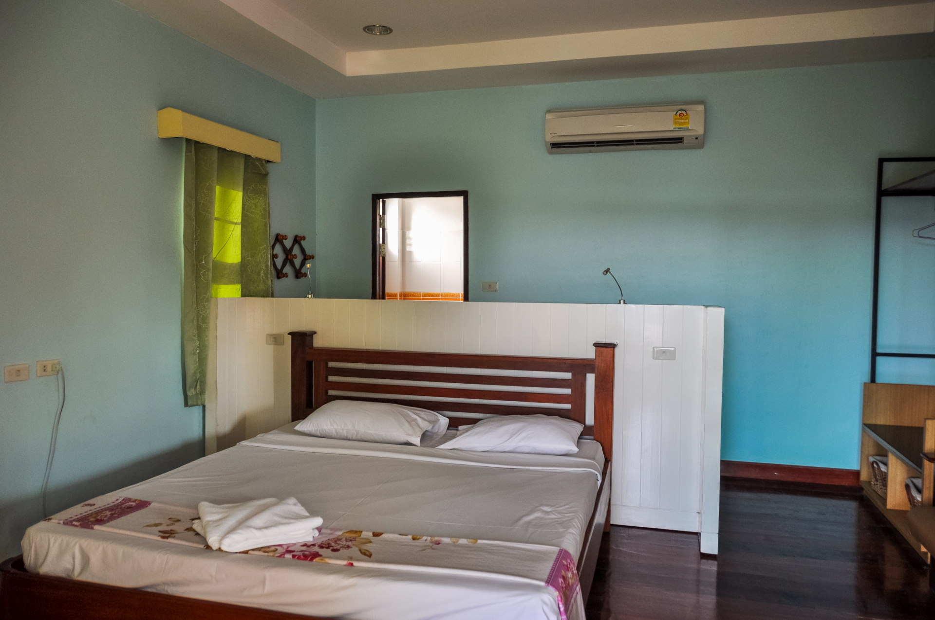
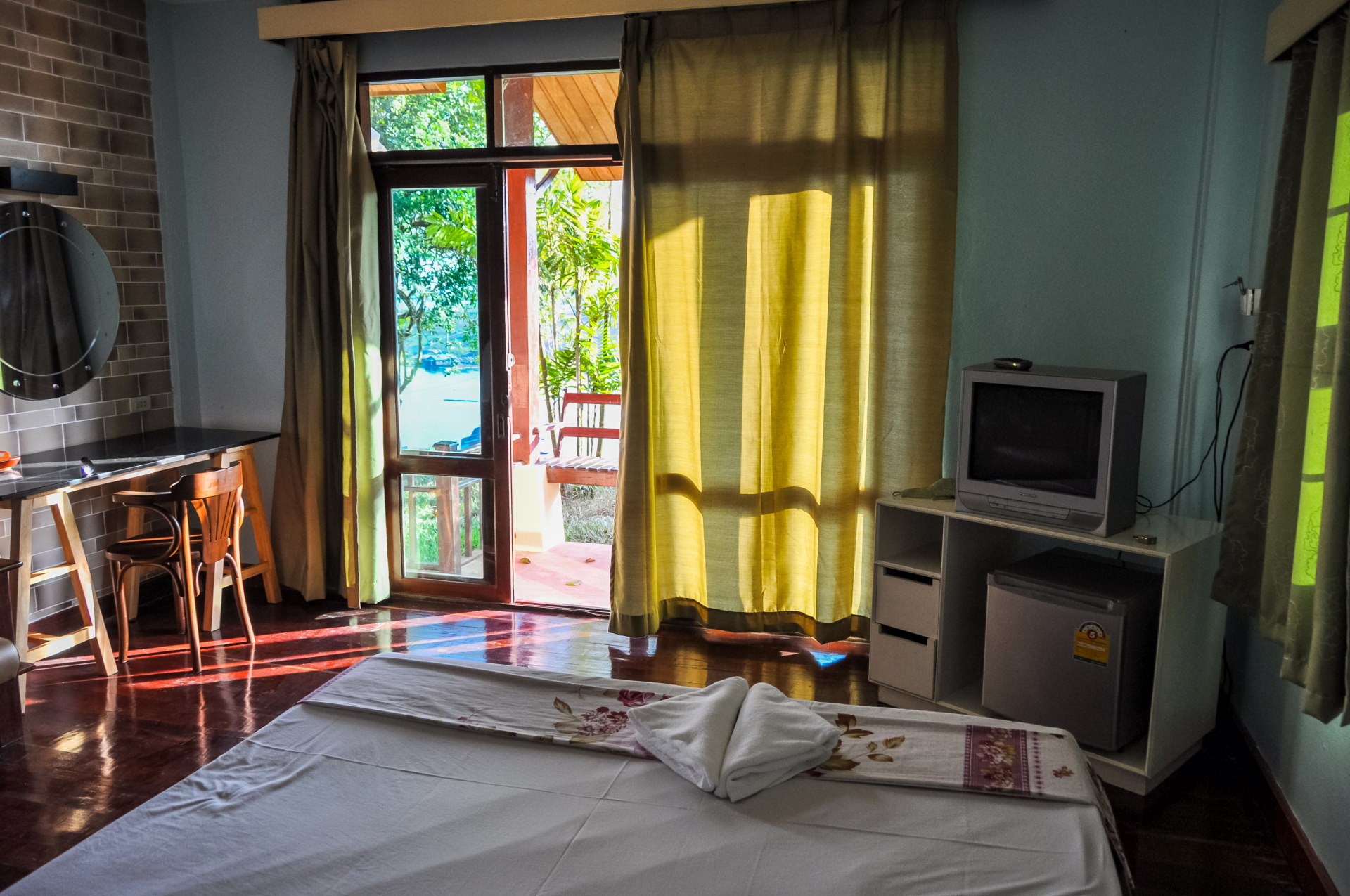
It was a fairly basic room, with a nice little balcony overlooking the bridge below. Proportionally, at the time, I found it rather expensive, but it's worth remembering that it was New Year's weekend and the hotel is particularly well located.
At the time of our stay, a new building with a restaurant (where you now have breakfast service) and the swimming pool was under construction so we were unable to enjoy it.
However, access to the terrace was possible, and one then understands why this establishment, one of the very first in Sangkhlaburi, was built on this hill, as it offers an unobstructed view of the lake and the two bridges. There is, of course, the Mon Bridge, made of wood, and the "Red Bridge," the intermediate bridge that connects another street in Sangkhlaburi to the Mon Bridge.
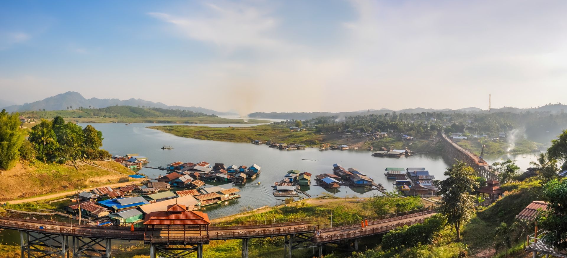
This bridge, which I would almost call the main attraction since people don't bother to really visit the surrounding area; but it's actually advantageous for us, because, as usual, who goes to the village where there's nobody? We do!
And since it's just us, the effect is even better for the local population, in the sense that we're not visiting a "zoo" as is sometimes the case when visiting "villages" in the North of Thailand and we're not disturbing their daily lives.
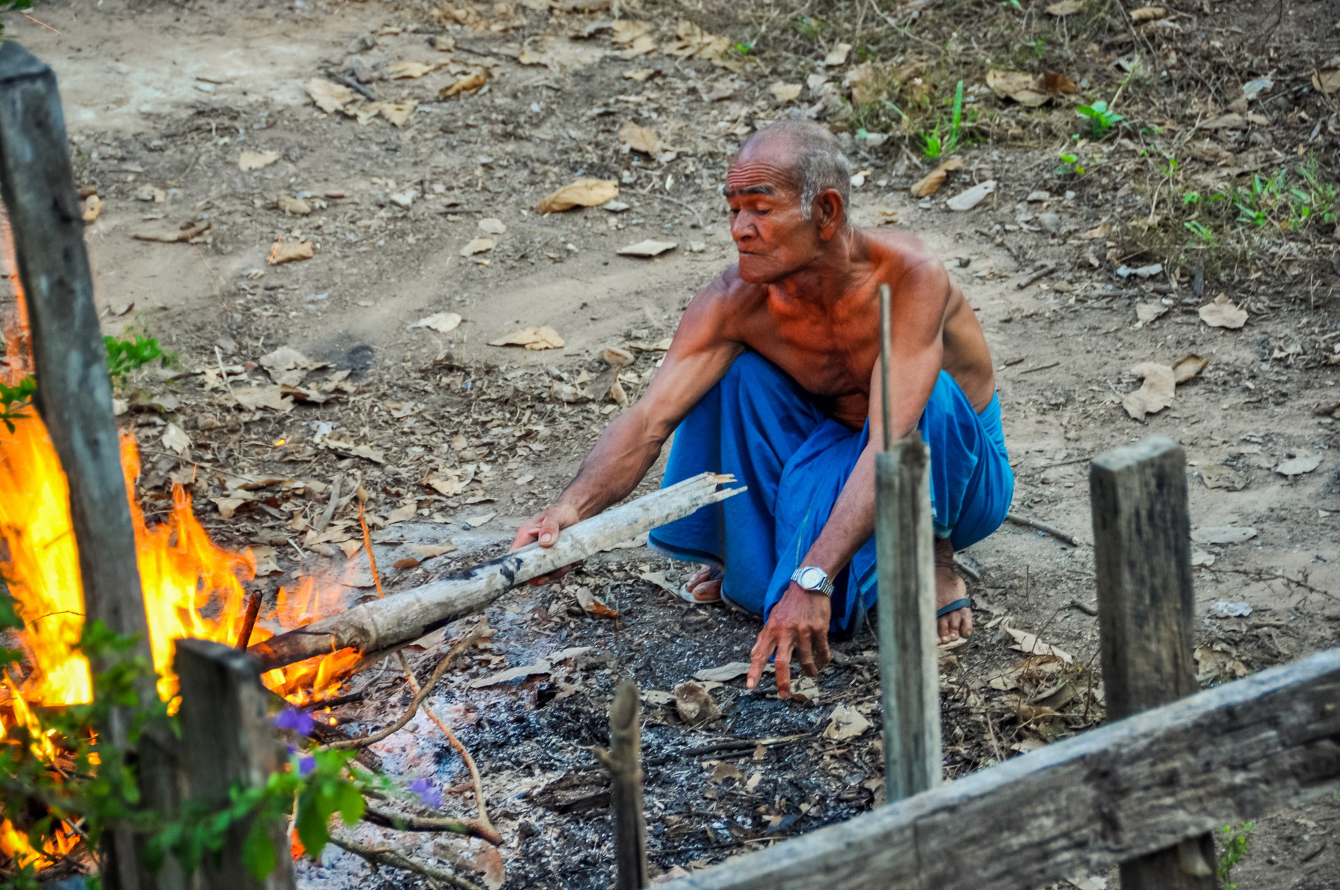
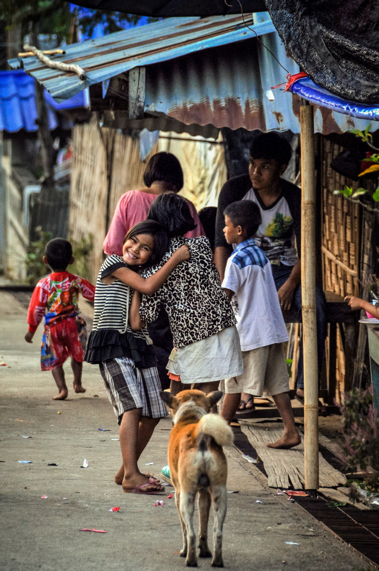
At the time, when I talked about "zoos," I was mainly referring to certain tourist villages in Northern Thailand, like those where people come to see the "long-necked" women. The comparison was deliberately harsh, but it was precisely this feeling of visiting people as if they were an attraction that bothered me in those villages. In Sangkhlaburi, I didn't feel the same way at all.
But this excursion to the village I call "Burmese" (or, to be more precise, of an ethnic group, the Mon, originally from Burma), will only take place the next day. For the moment, we are content to admire the scenery and walk on the bridge.
First crossing of the Mon bridge
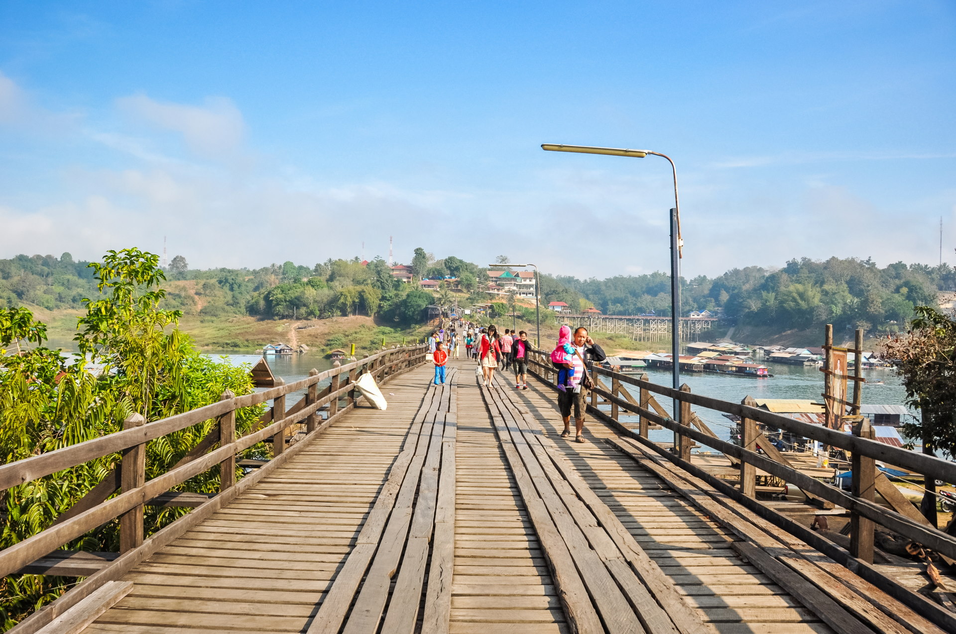
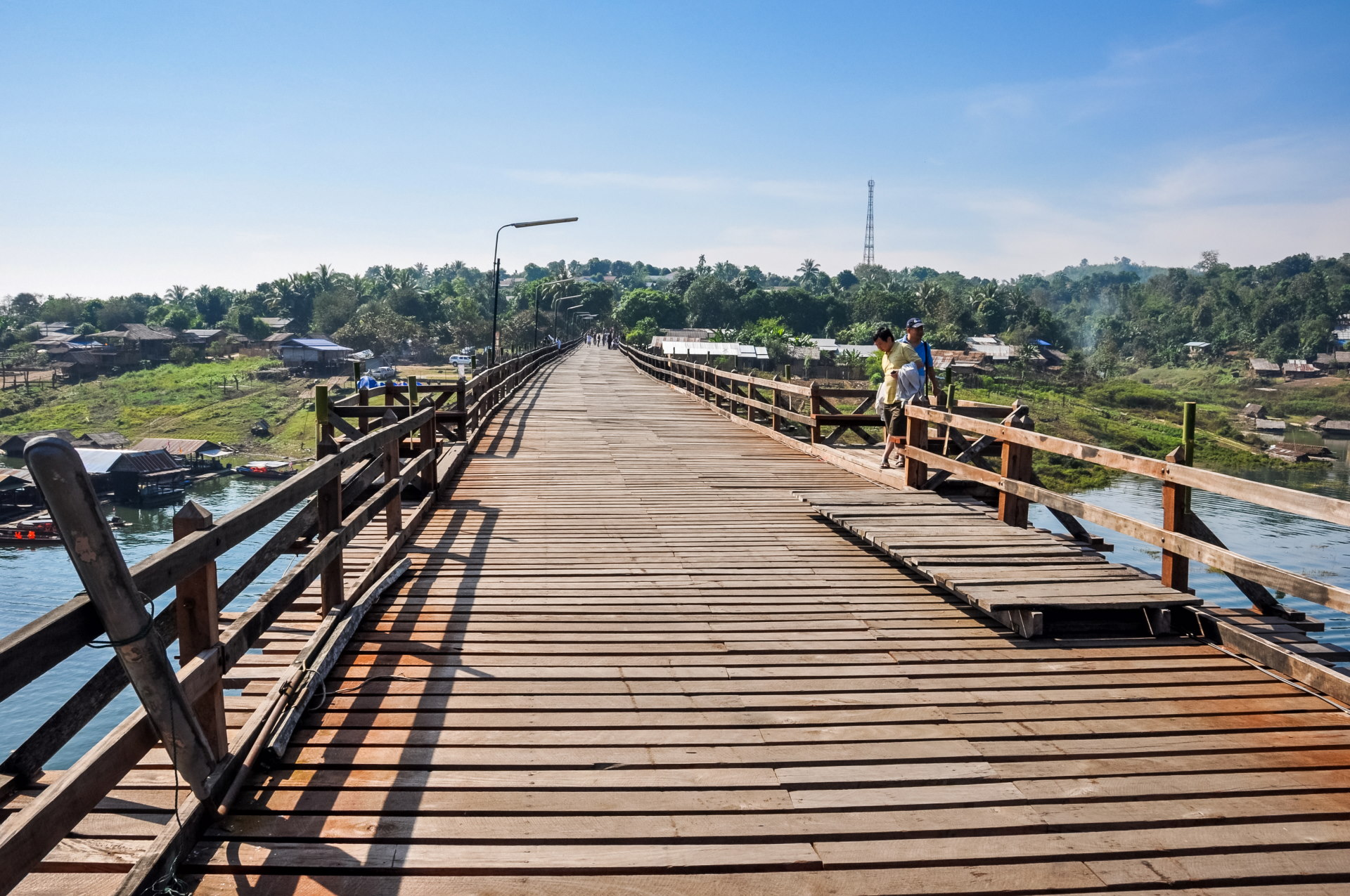
I was disappointed to see it then undergoing renovation (it's not finished yet), which makes it lose, in my eyes, some of its charm, because it is indeed a machine, this time, which is being used for renovation; only a part at the beginning is still original.
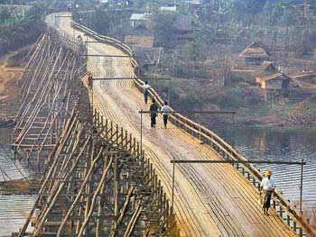
The bridge is relatively straight today (on the left), compared to what it used to look like (on the right):
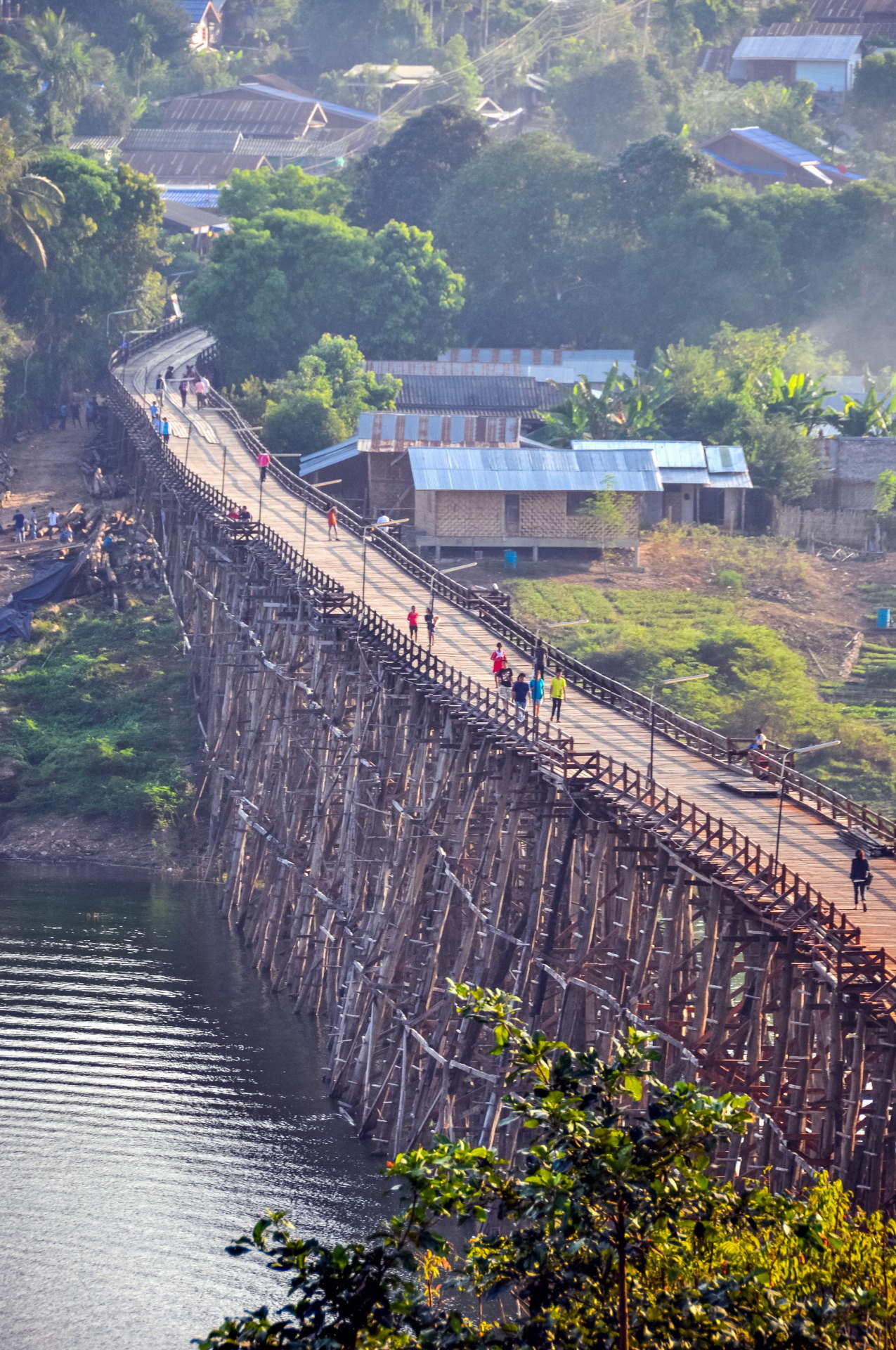
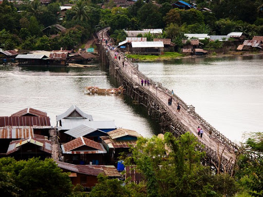
Knowing that, during our stay, the water level was relatively low, normally it is at its lowest at the end of the dry season, around April, and at its highest towards the end of the rainy season, in September/October, makes sense — but here, in December, the level already seemed quite dry to me (although not at the minimum).
Here is a photo (which also dates from before the renovation) to give an idea of the high level, knowing that the houses at the water's edge are all floating and therefore adapt to the seasons.
Information from the hotel's website indicated that the maximum level simply skims the bridge, with the difference between a minimum and maximum of approximately 40m to 50m!
[EDIT 2013: The bridge unfortunately collapsed last July (2013) after heavy rains that dislodged a lot of debris…
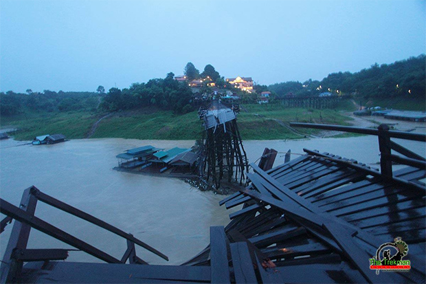
Image source of bridge destroyed here[This shows that renovation wasn't enough to withstand the fury of nature…]
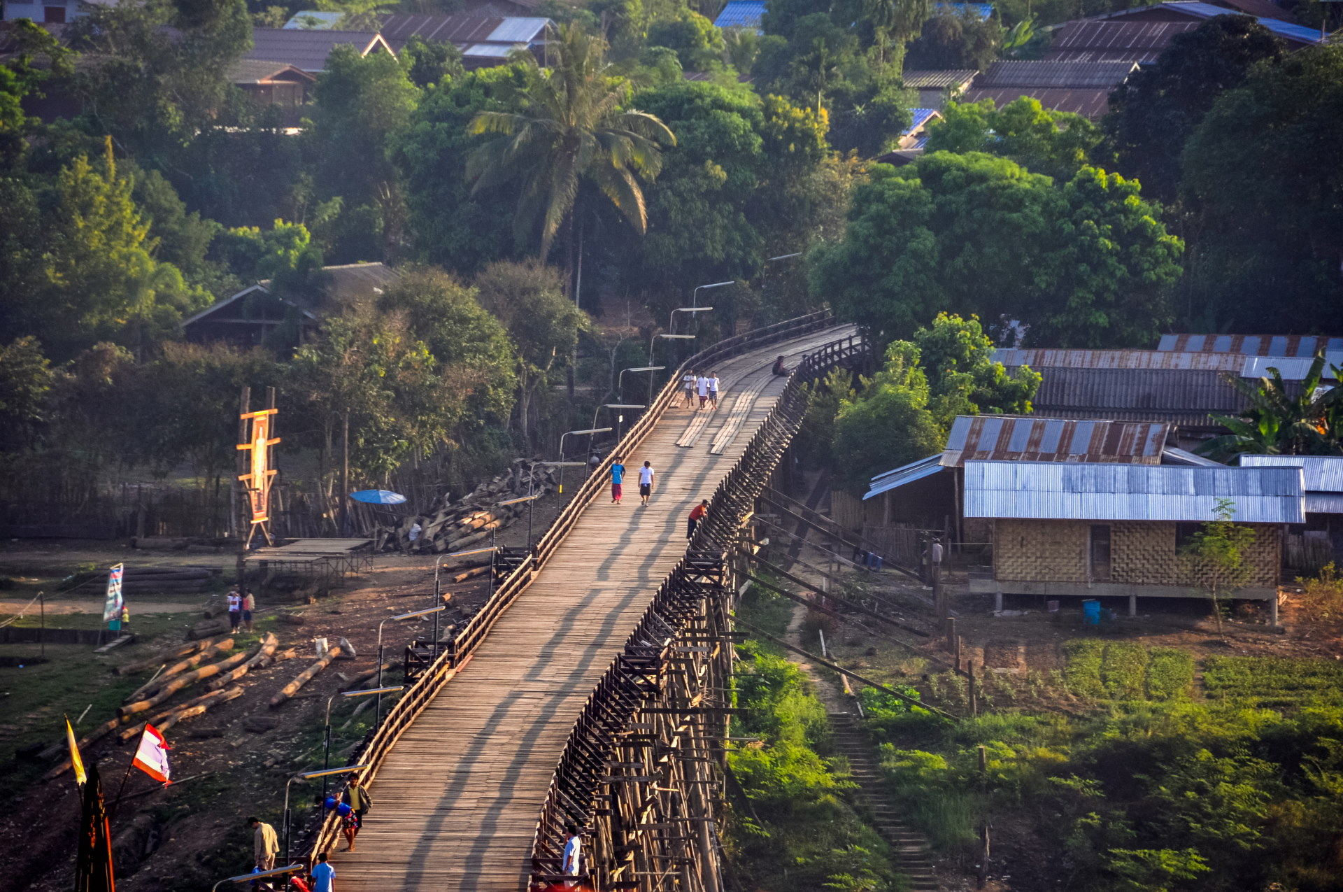
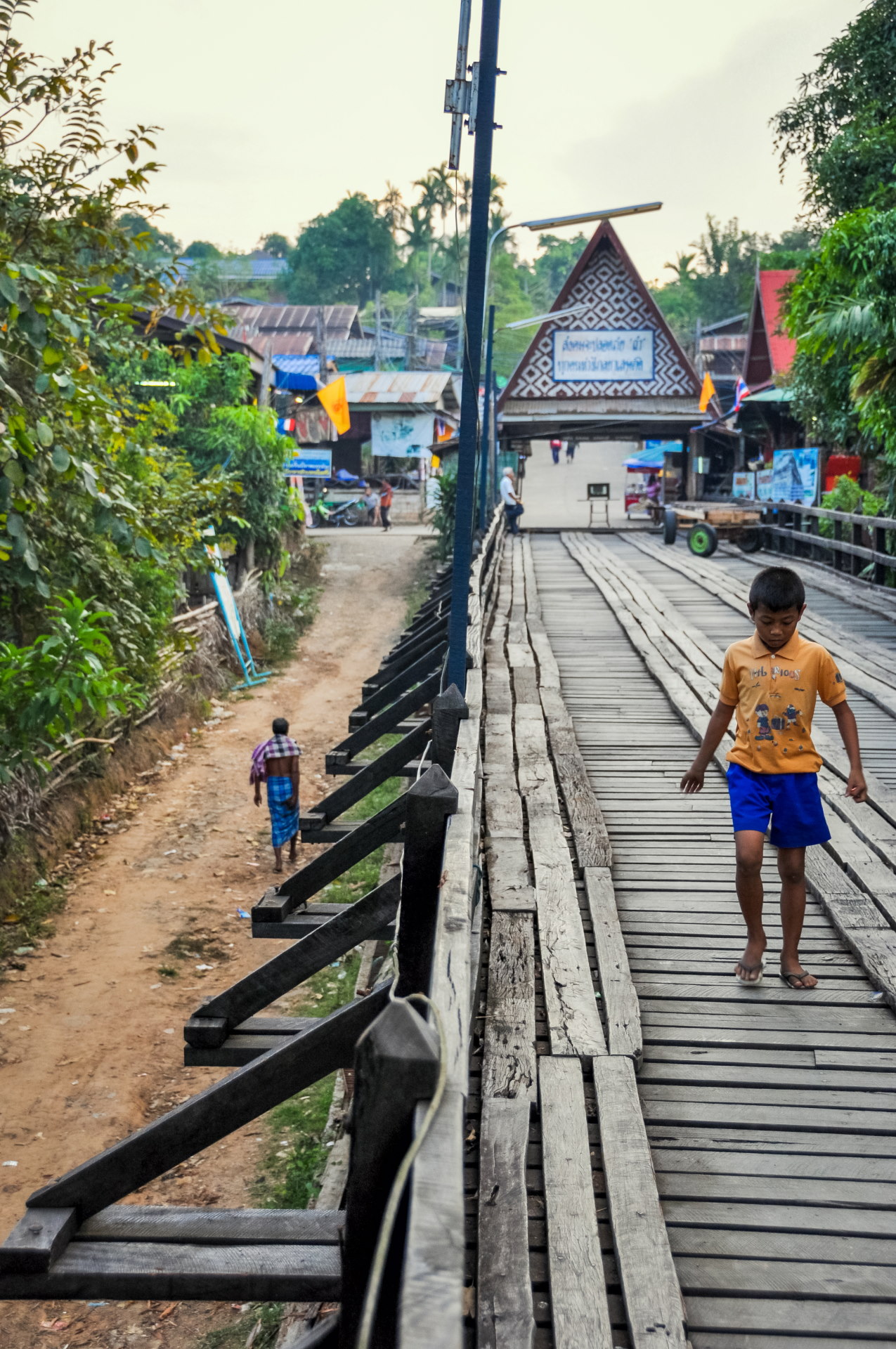
This bridge is approximately 400 meters long and is therefore considered the longest wooden bridge in Thailand . It was entirely handcrafted by the local inhabitants to open up the village after the reservoir was filled.
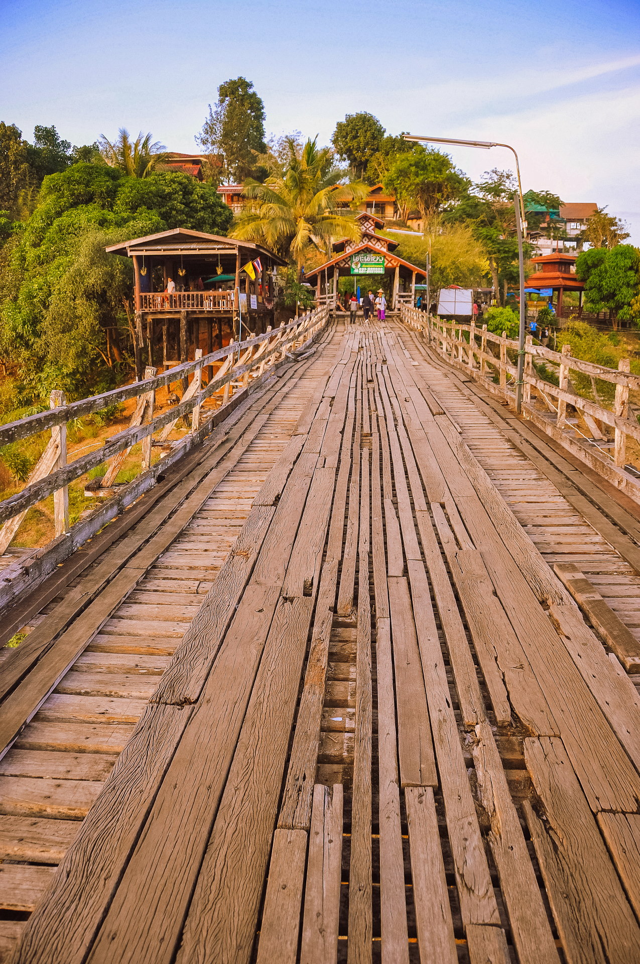
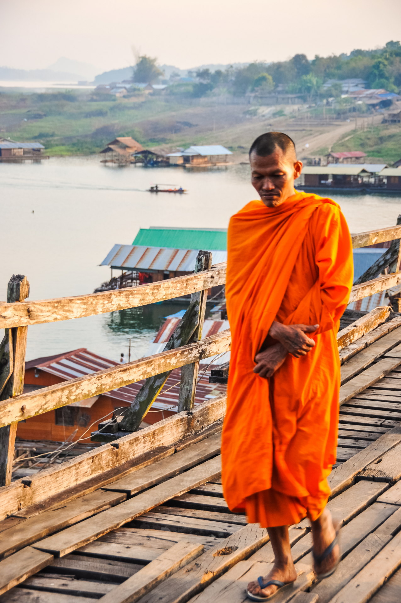
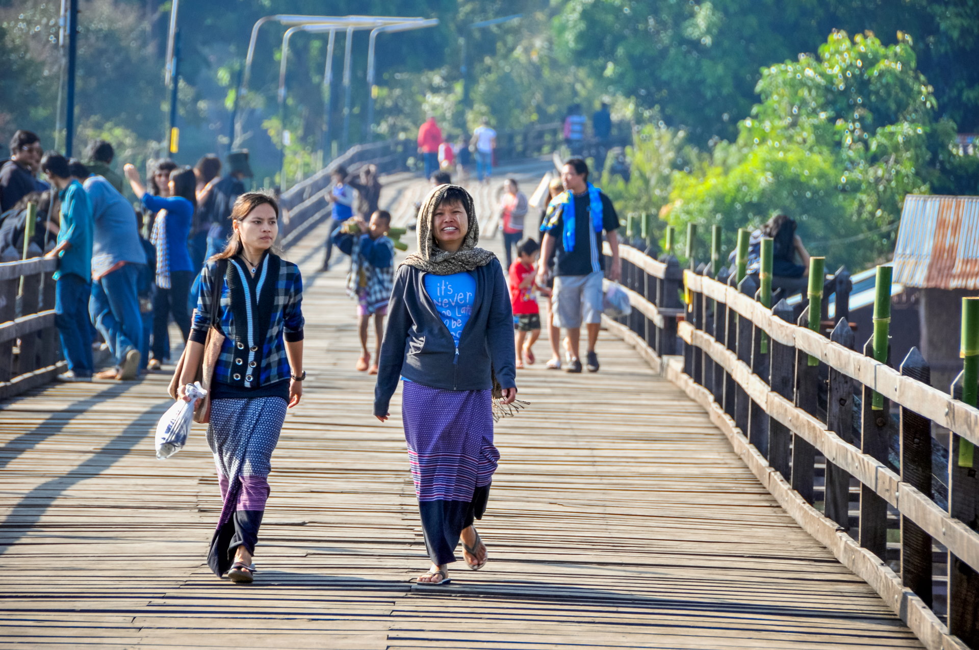
I would realize this particularly when I returned several years later: it is especially in the morning that the excitement is at its peak, when many Thais, in traditional dress, attend the morning offerings to the monks (the famous Tak Bat).
While the wooden bridge once served to open up the village, it remains, though its function is less essential today. Indeed, on the other side is a more recent, permanent bridge leading to the Mon village (called Wongka), but the journey is much longer than the mere 400 meters of this bridge… However, this route is the only way to reach the village by car.
On the other side is a more recent bridge leading to Mon village (called Wongka) but the journey is much longer than the simple 400m of this bridge… But this road is mandatory to go to the village by car.
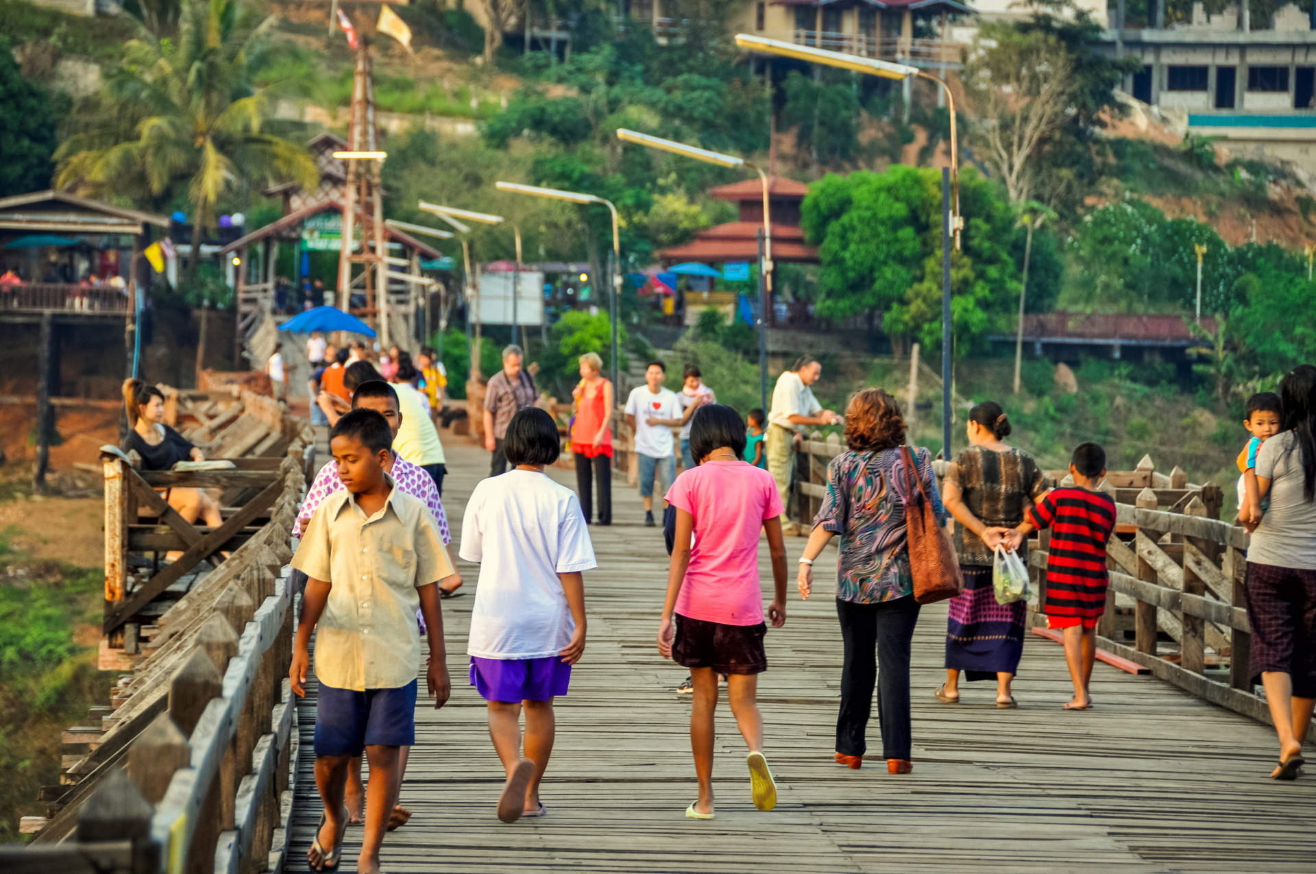
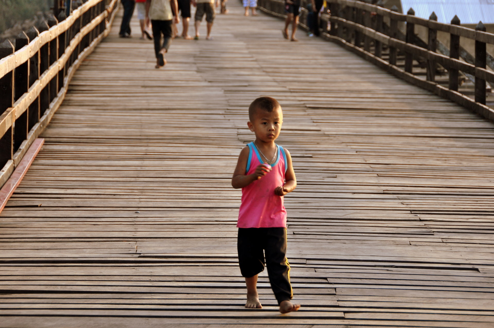
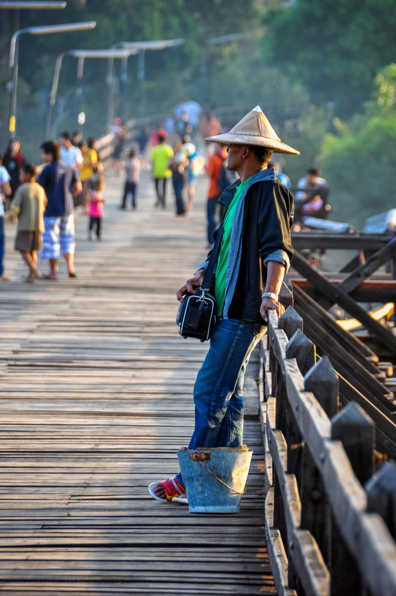
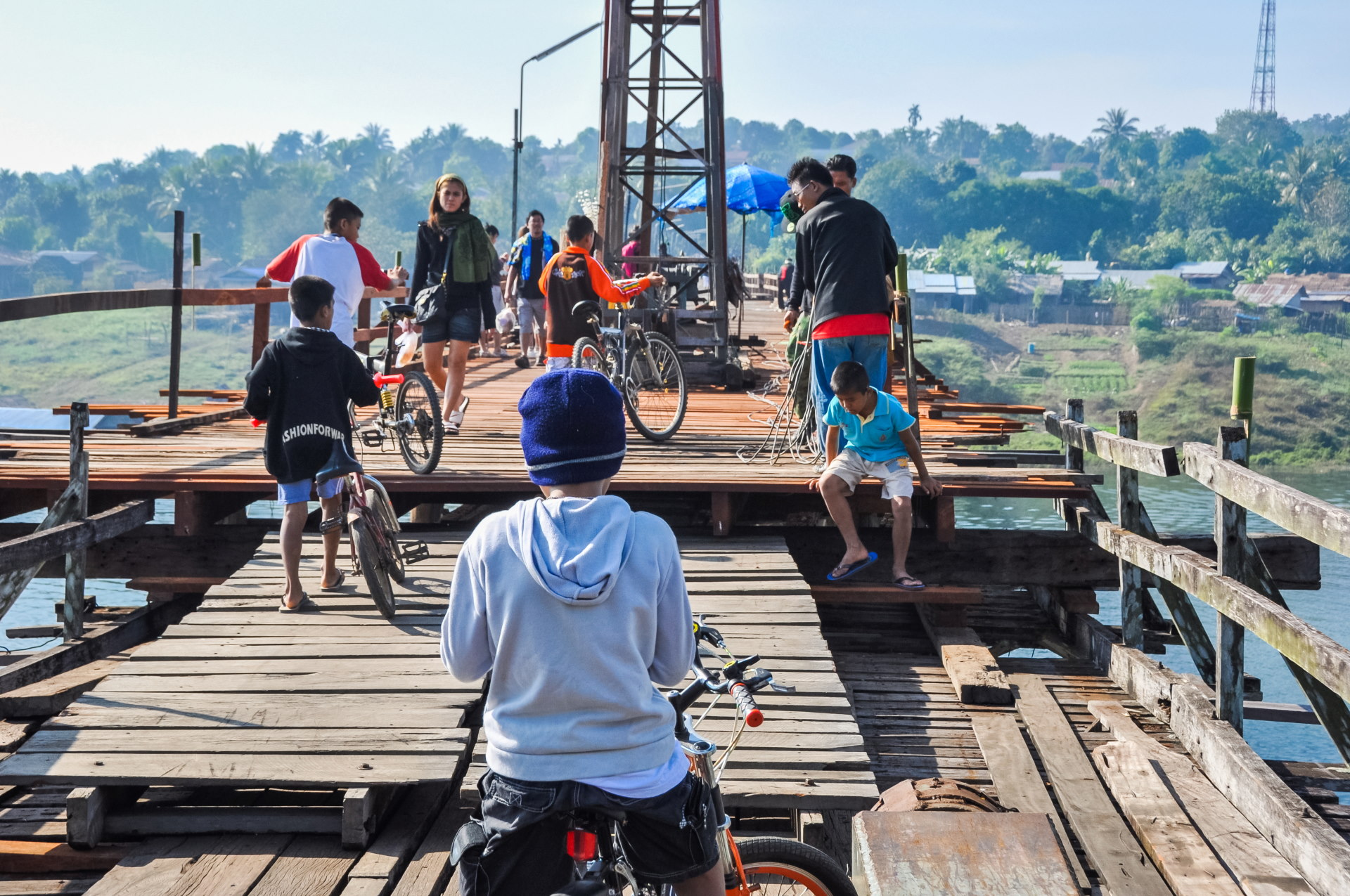
Among this "large crowd" were children, particularly young people soliciting tourists interested in taking a boat trip on the river, mainly to see the submerged temple on the lake, the last vestige of the ancient city, flooded during the construction of the dam. They arranged to meet the next day.
"A date was set," yes, meaning one of those kids approached us, and after chatting, we accepted his offer to take a boat trip on the lake the next day. It's one of the main attractions in the area, but contrary to what I wrote, there are actually several other ancient temples visible nearby that we didn't see because we didn't know about them…
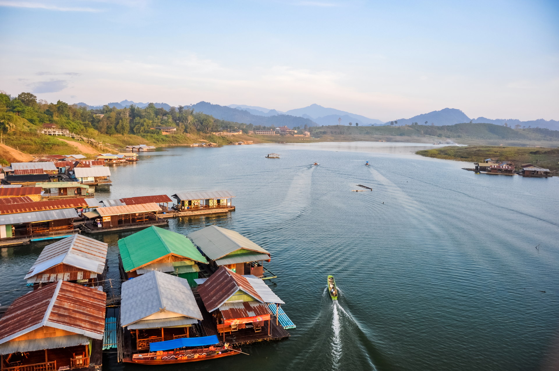
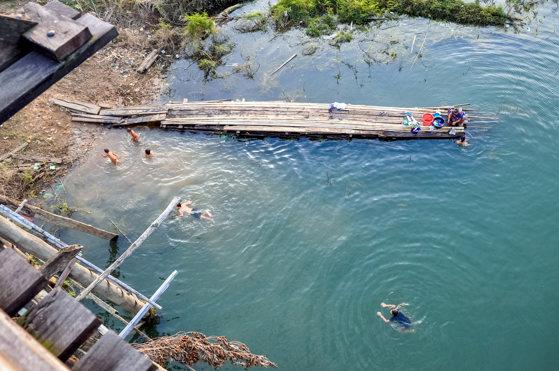
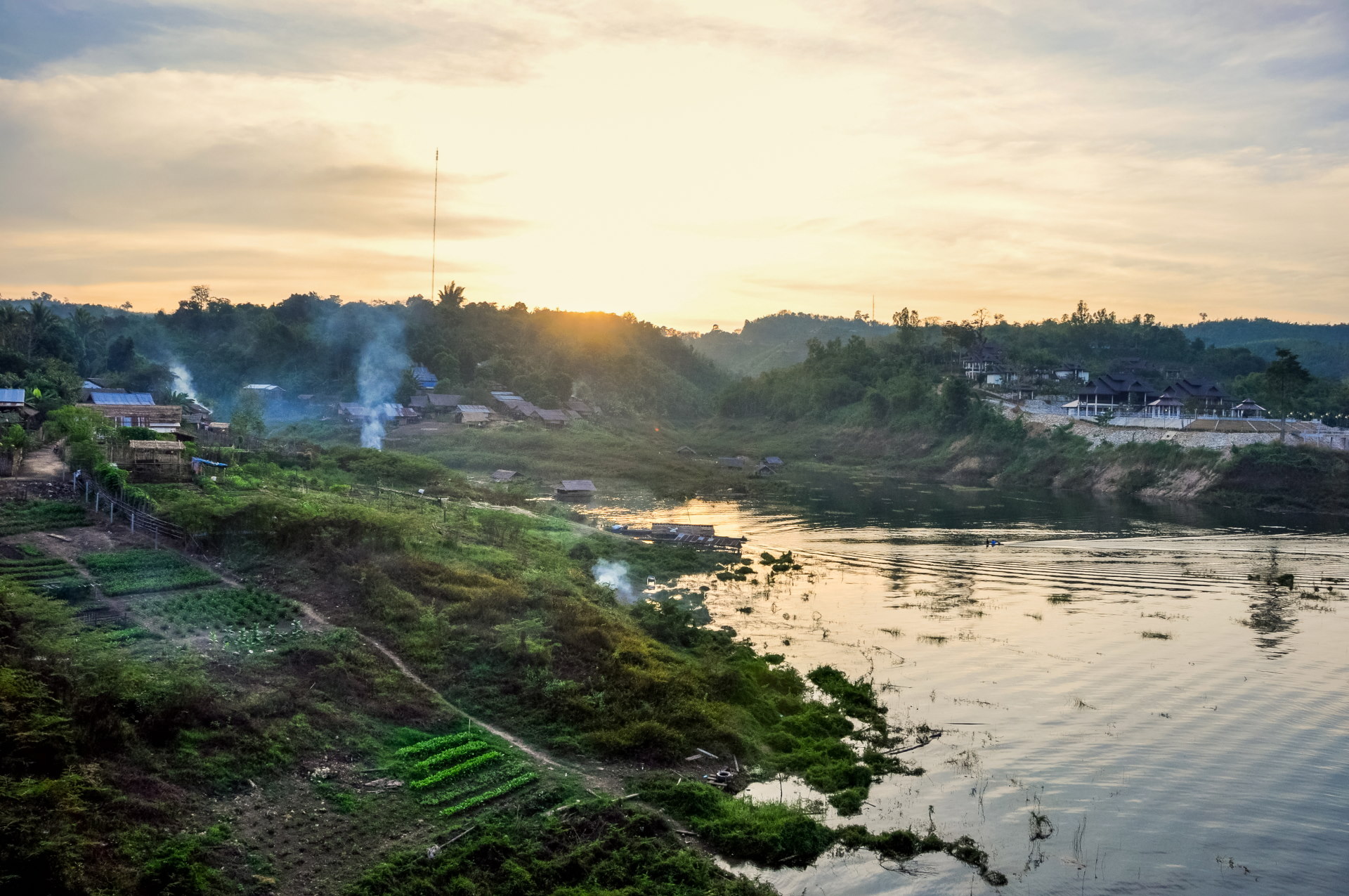
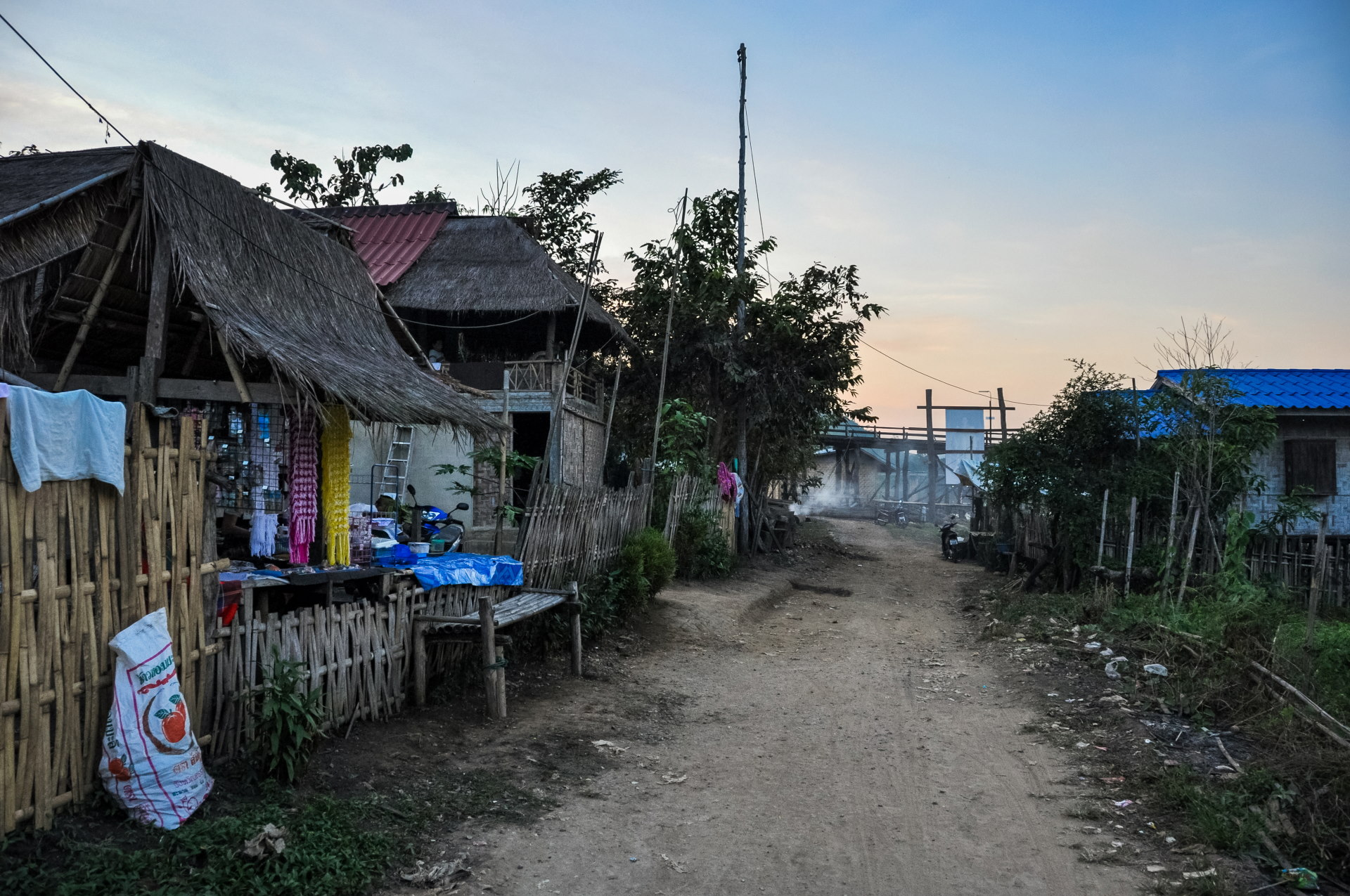
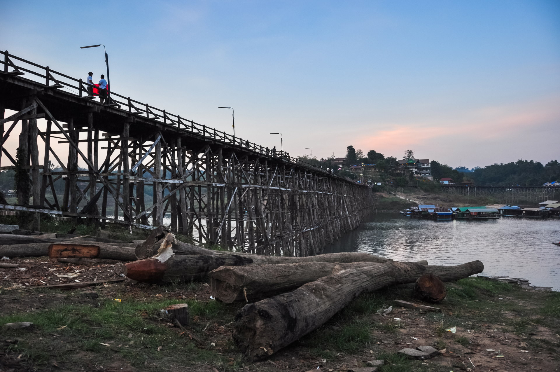
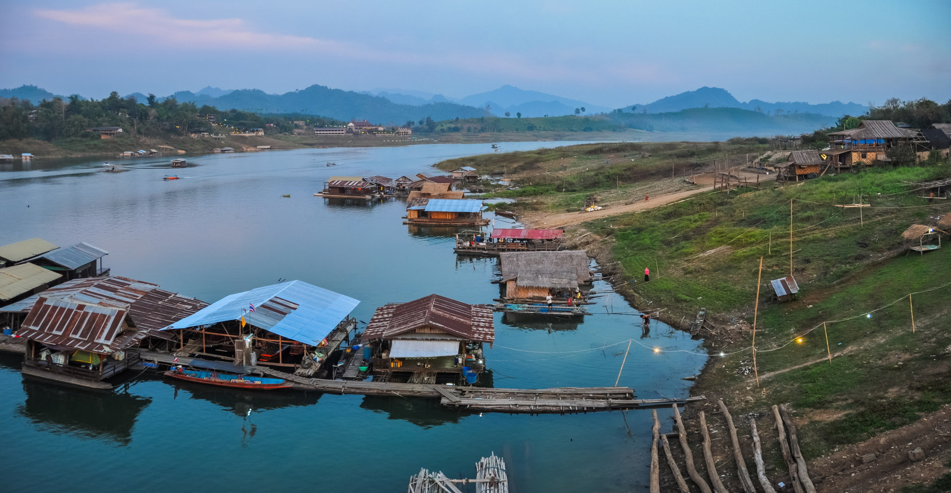
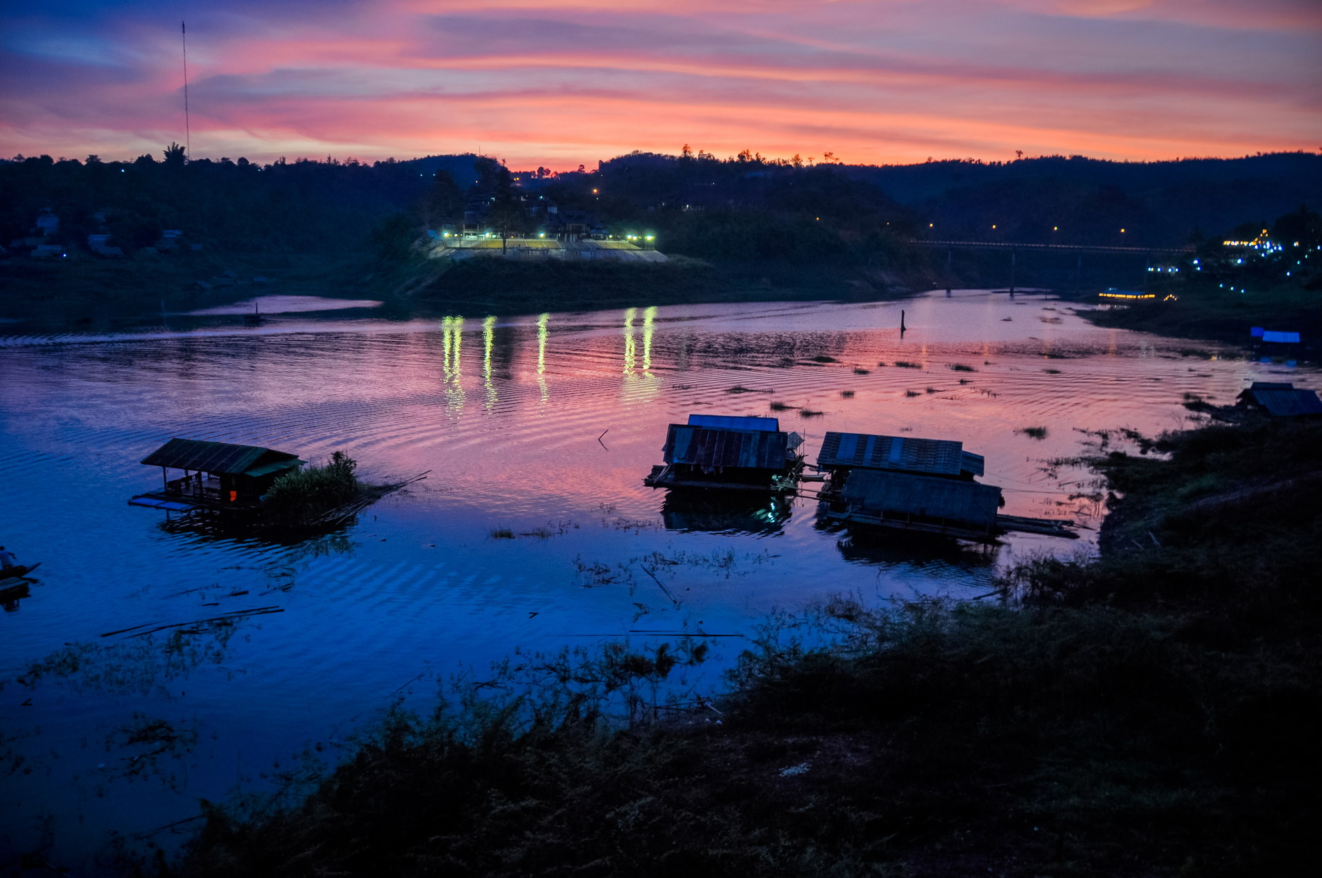
And another beautiful day comes to an end, the penultimate one of this year 2010.
Day 2: Wangka village and a boat trip on the lake
On this last day of 2010, we got up early to try and attend the offerings made to the monks (the tak bat). It was really hard getting up so early and we couldn't manage to be ready before 7 a.m… (for those really interested in the experience, try around 5 or 6 a.m. instead).
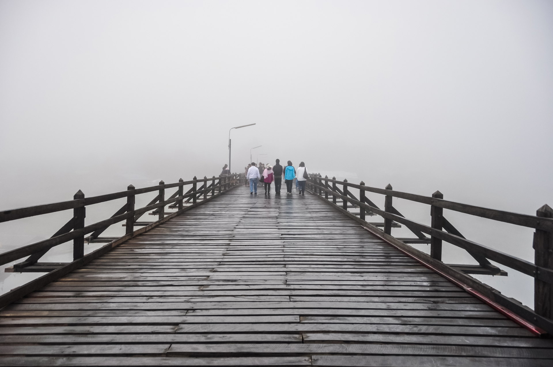
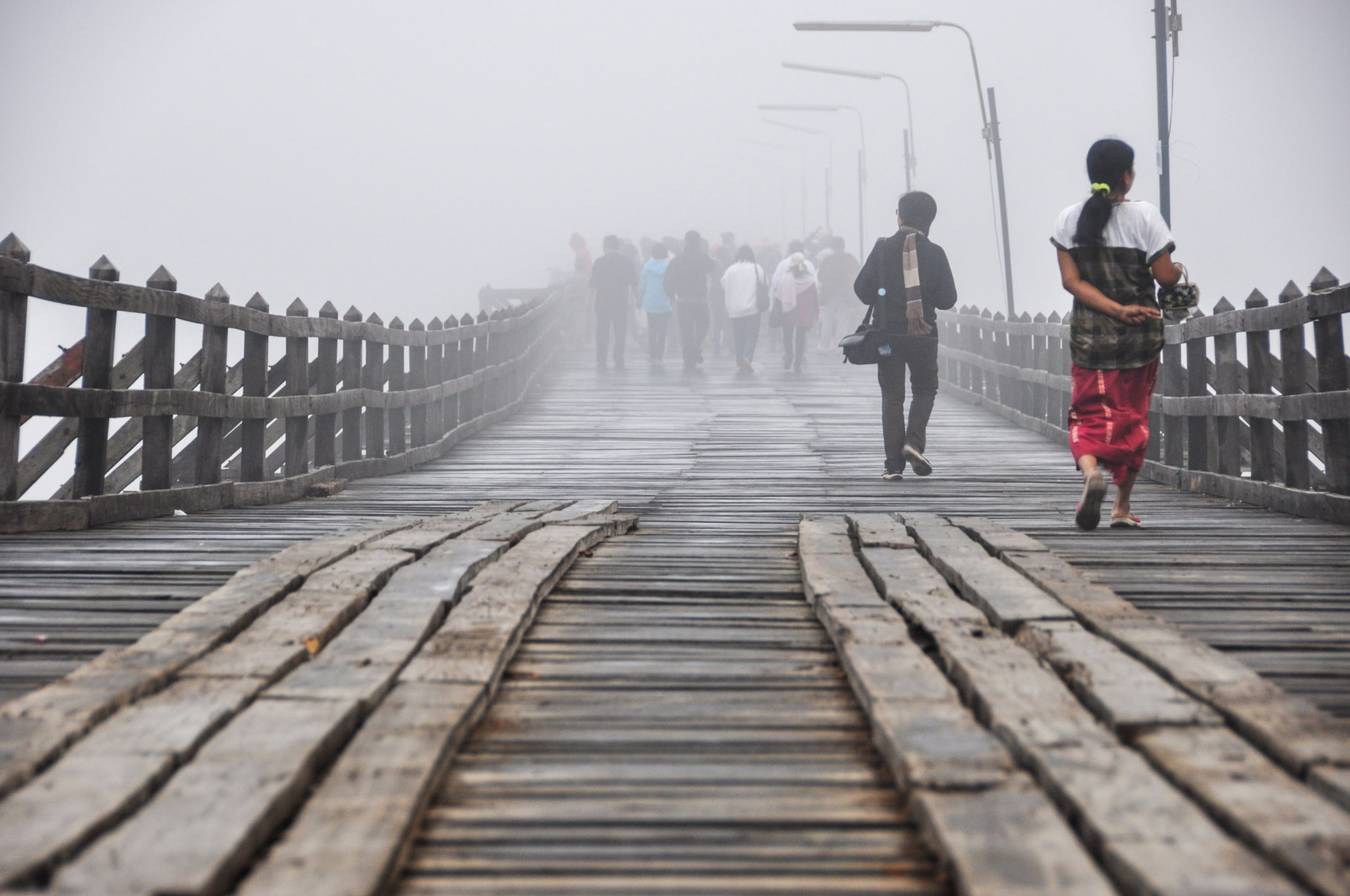
On the bridge early in the morning
A "surprise" awaited us that morning: fog rolled in, and it was one of the rare times in Thailand that I had the opportunity to wear a sweater, which we had brought along because we were expecting it to be chilly. It is "winter" here too, let's not forget!
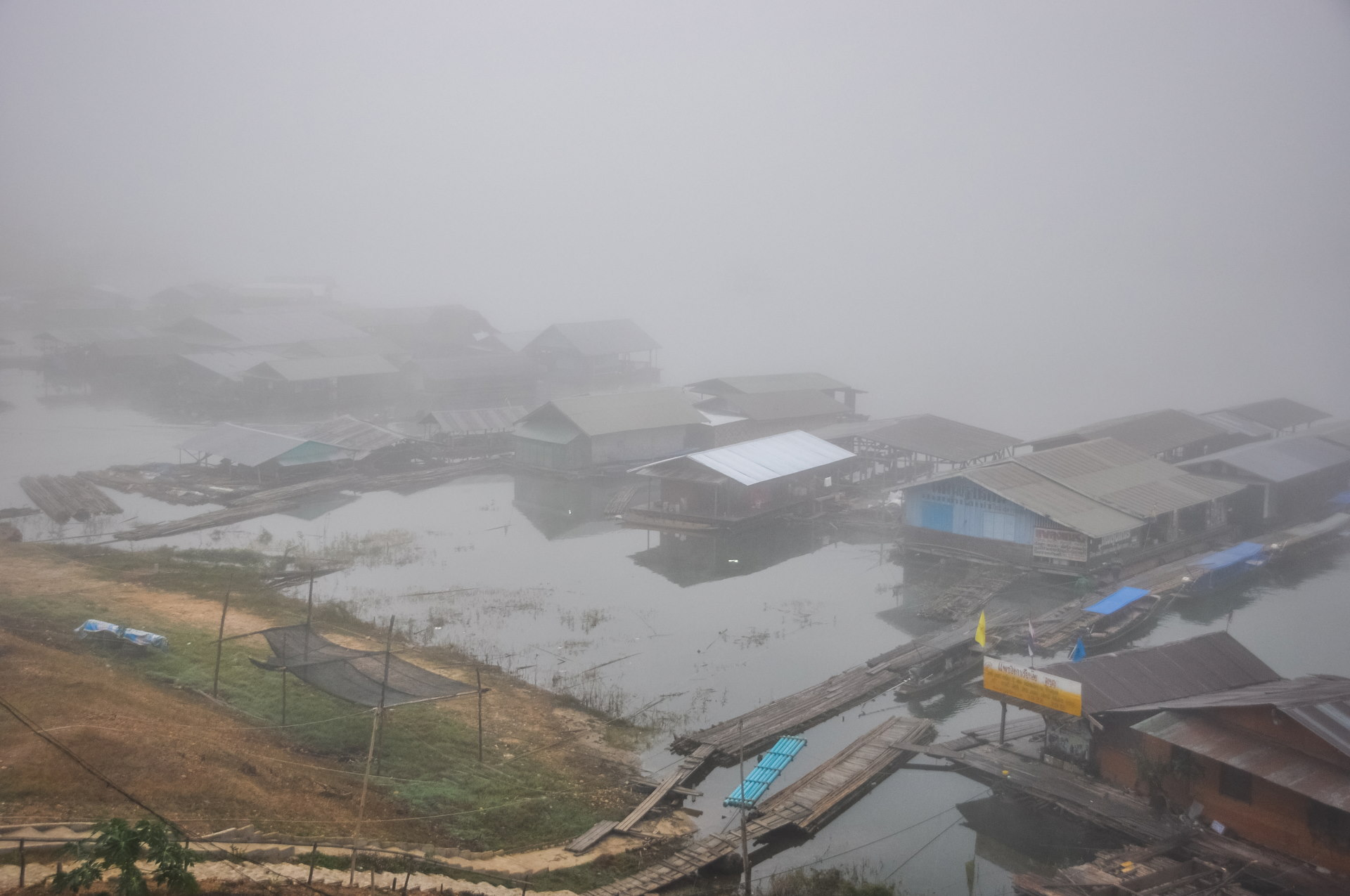
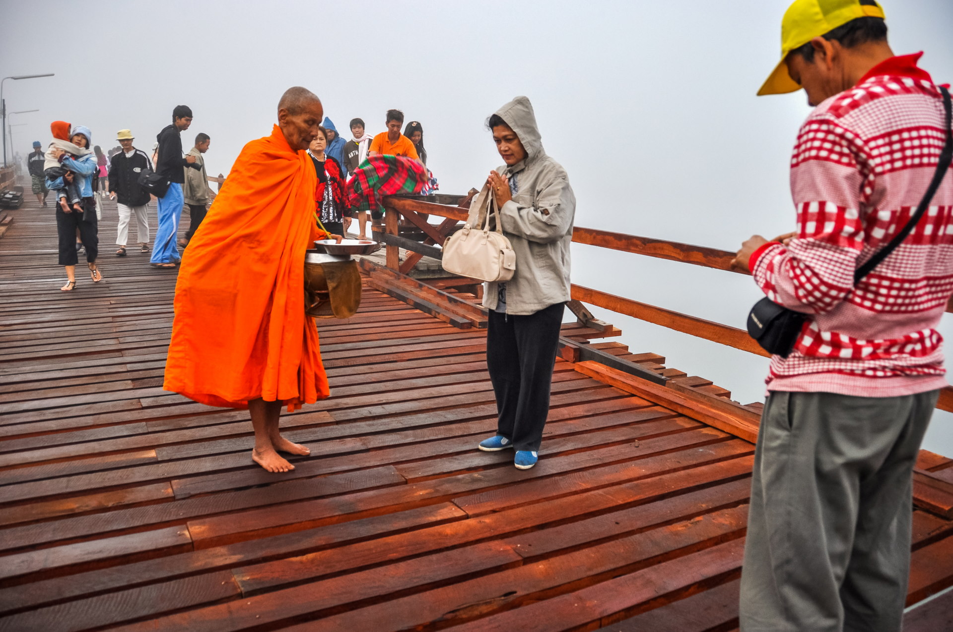
Having returned a few years later, I can confirm that the main part of the ceremony, which takes place mostly on the other side of the bridge, ends shortly after 7 a.m., hence my advice to leave your hotel at 6 a.m. But the crowds were still quite large, proof that even back then, when it was already less crowded, it was still a relatively undiscovered destination.
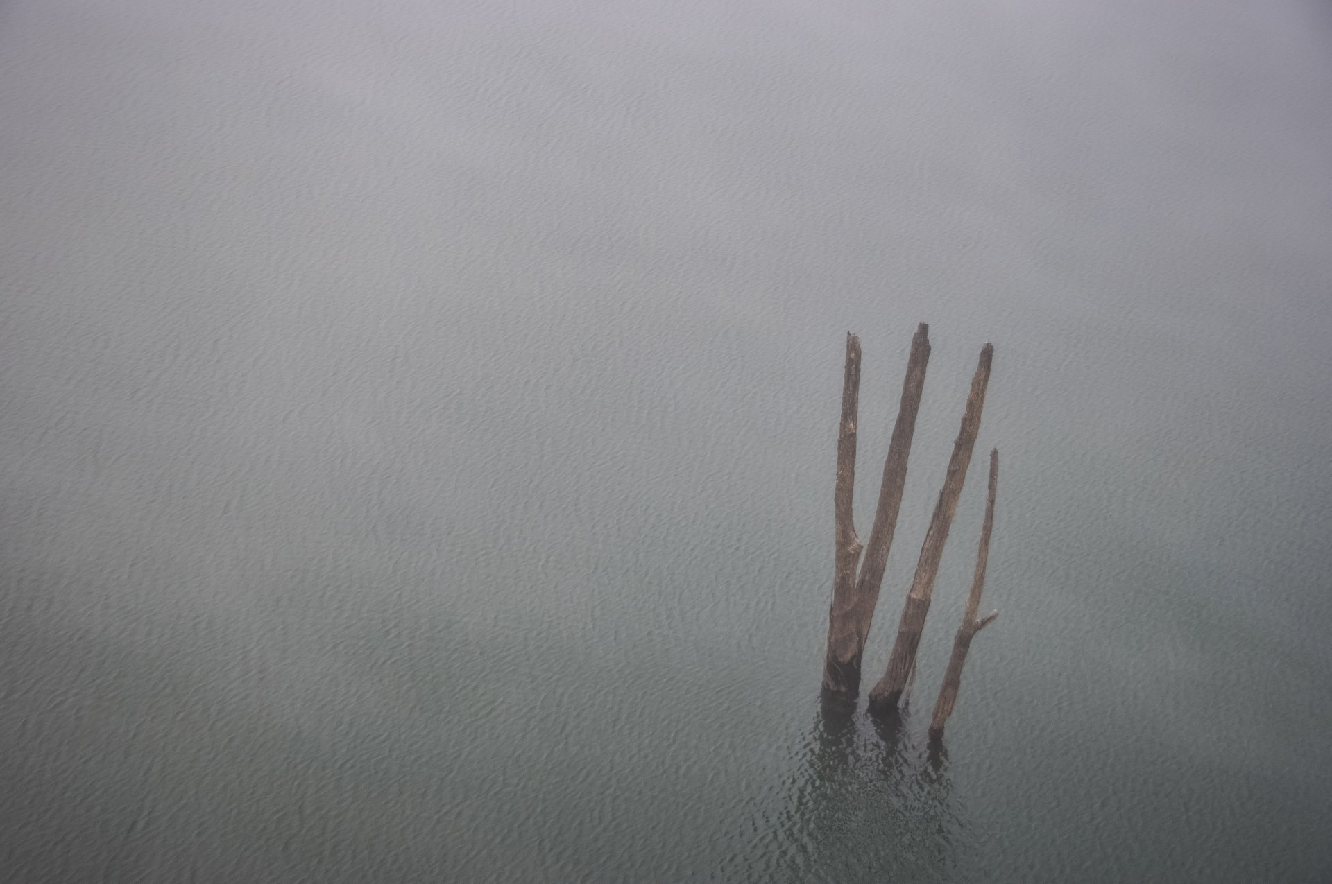
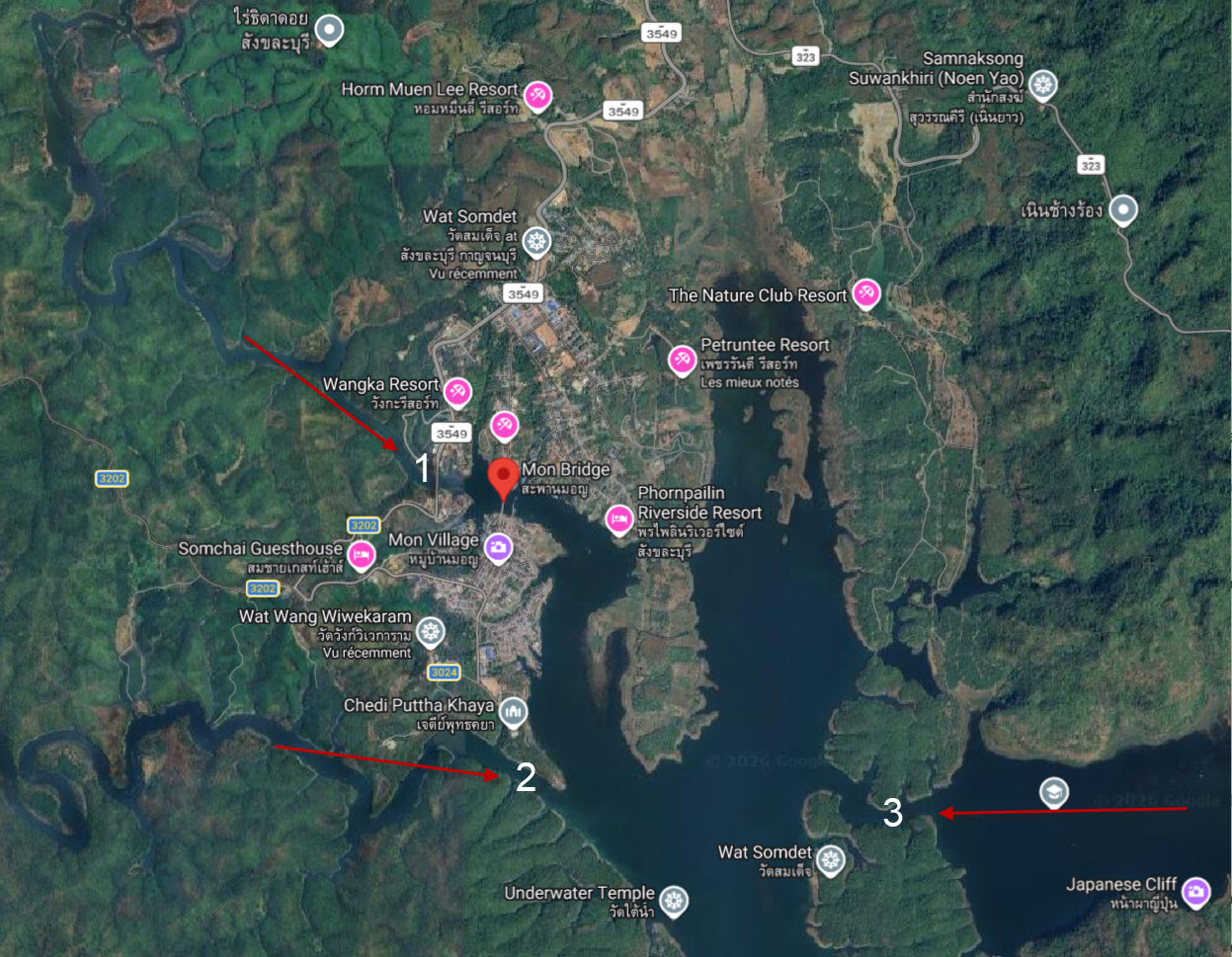
I preferred to use the word "river" rather than "lake." But it's not entirely wrong: at this precise spot, we are barely 500 meters from the mouth of the Song Karia River. This is one of the three rivers that feed the Khao Laem reservoir within a radius of about 2 kilometers.
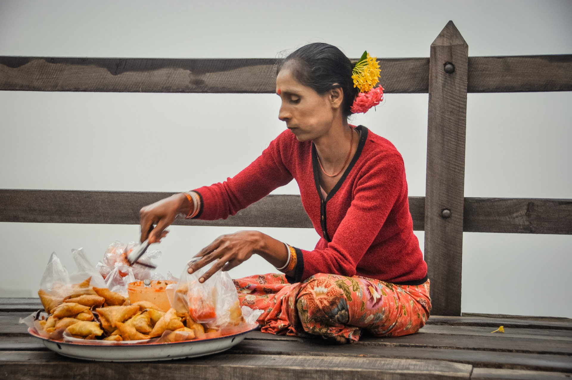
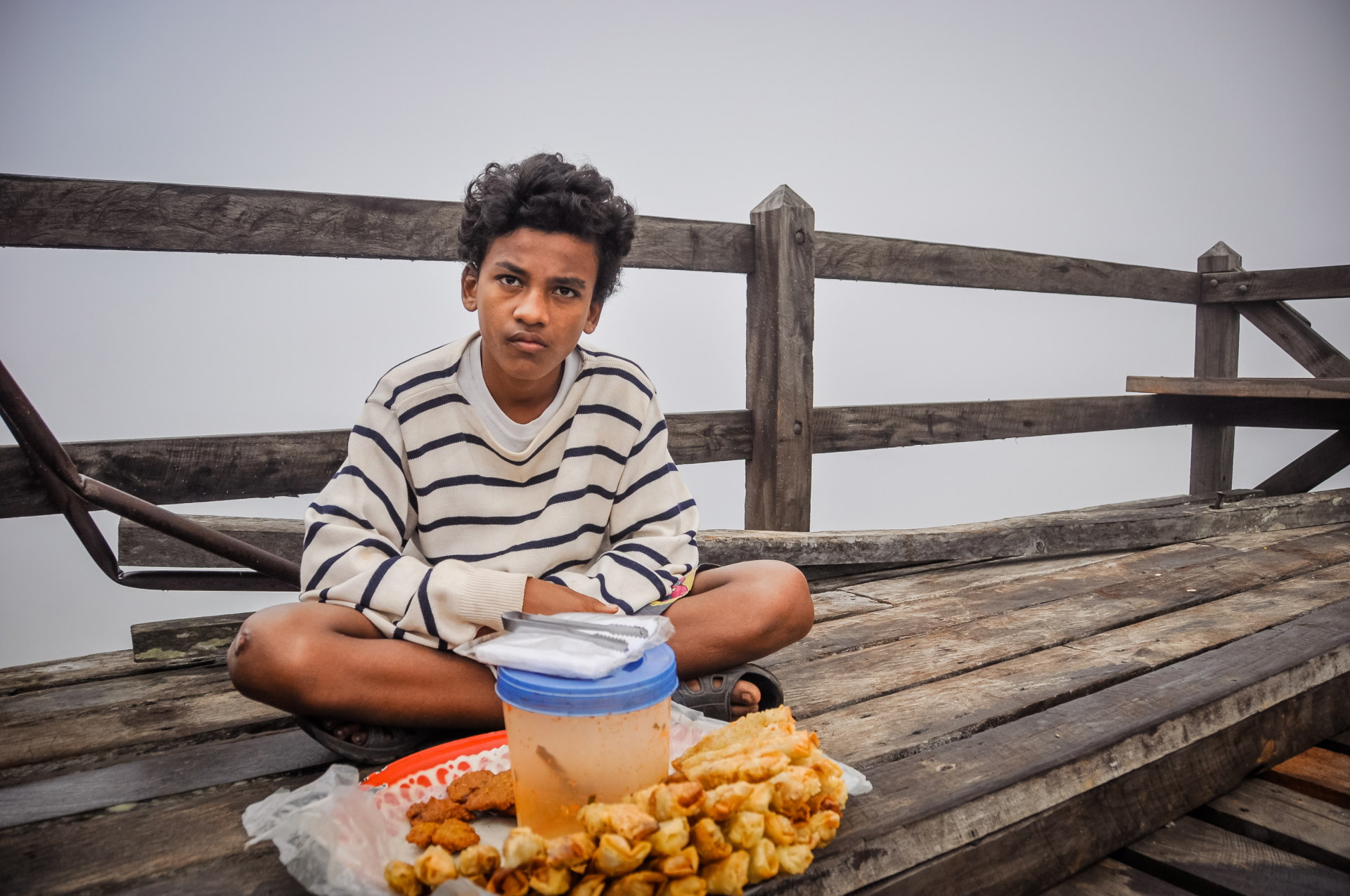
For those who might be feeling a bit peckish, let's not forget, this is Thailand, there's always something nearby. And as I mentioned earlier, you can clearly see that there's an undeniable mix of cultures here.
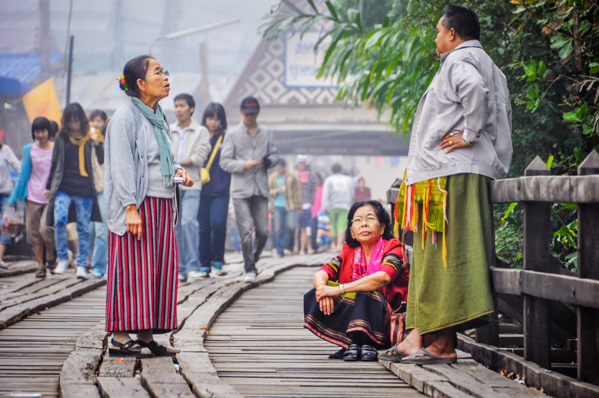
The local inhabitants are easily recognizable, especially the men who often wear the sarong (fabric wrapped around the waist which acts as "trousers", or rather, is worn more like a skirt).
The Mon village of Wangka
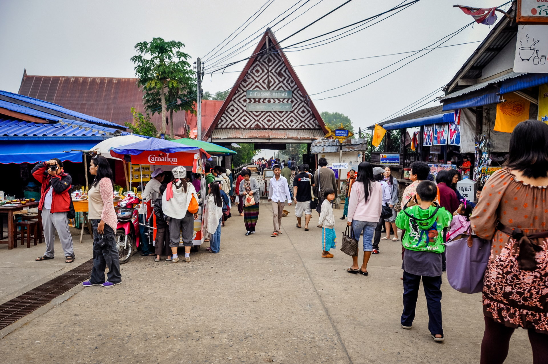
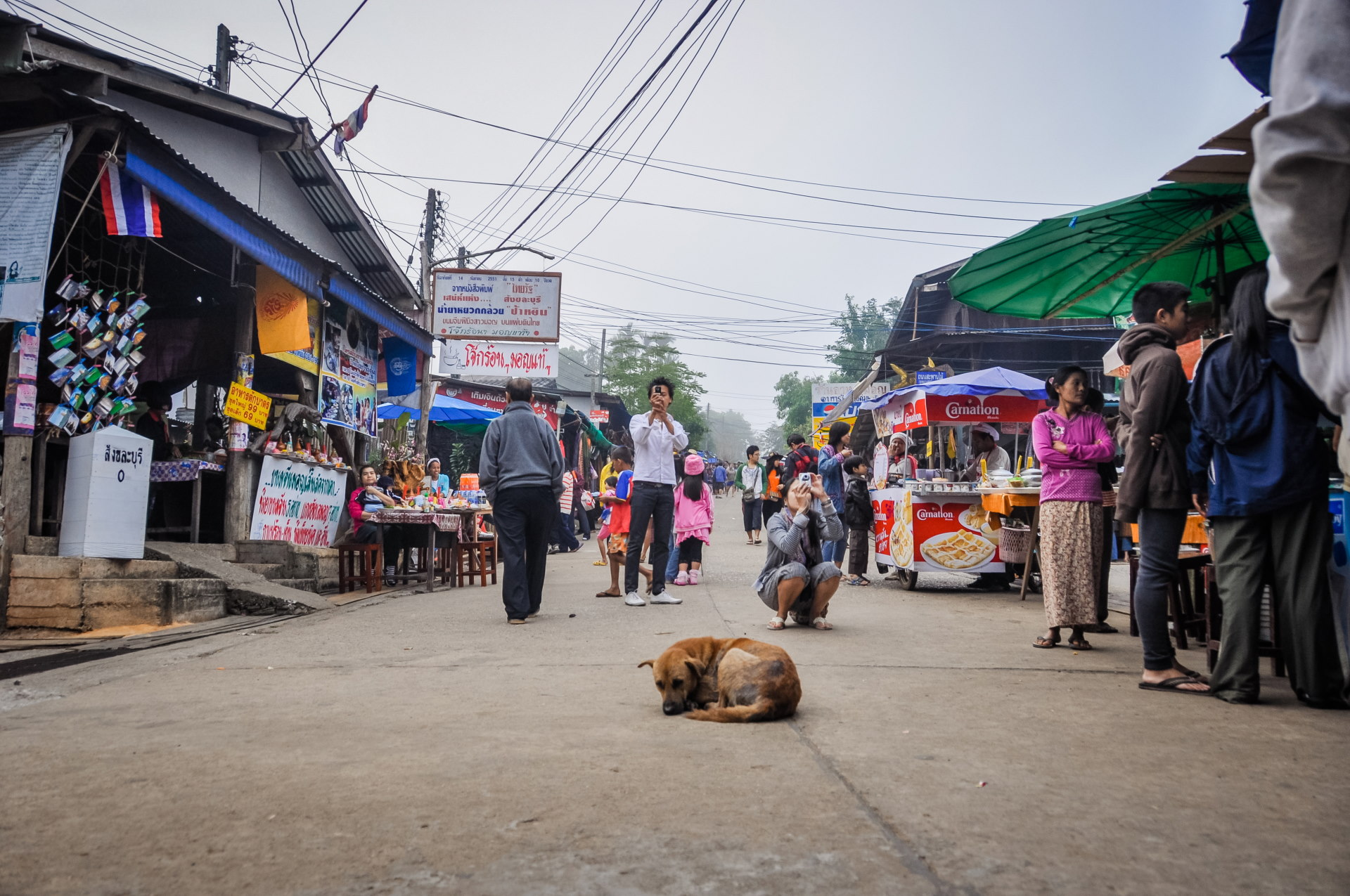
We arrive in the "Burmese village" section. I can't help but make the joke: "Where's Waldo?" (if you get the reference).
In practical terms, for all your souvenir purchases and local food, this is the place to be. It's lively, and between the morning freshness and the powdered faces, you could easily forget you're in Thailand.
Powder on the face is a typical characteristic of the Burmese (thanaka, made from a piece of wood, is applied to protect the skin from the sun's rays, among other things). This strongly reminds me of our exploration of Yangon , just two years ago.
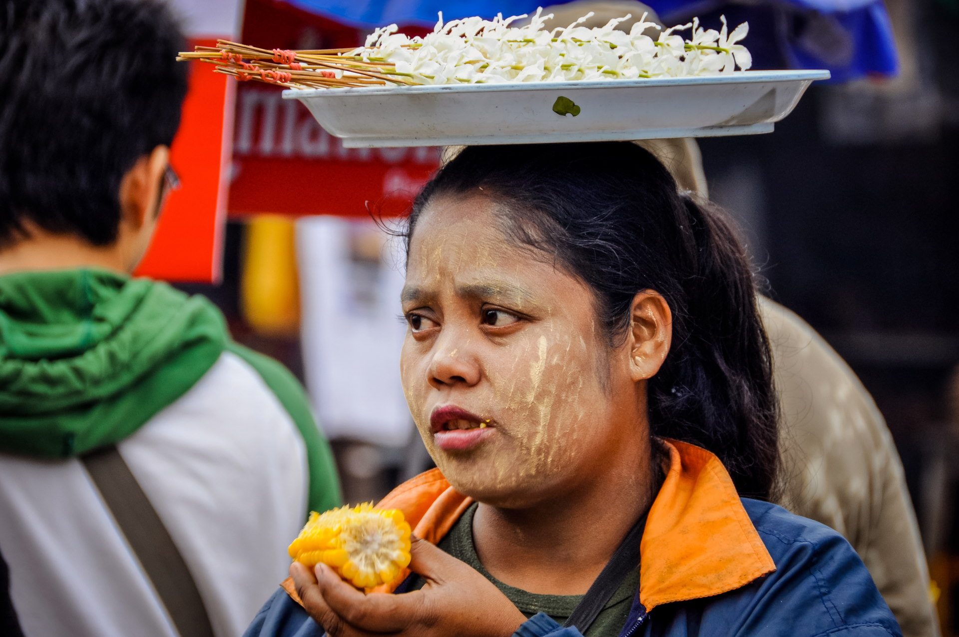
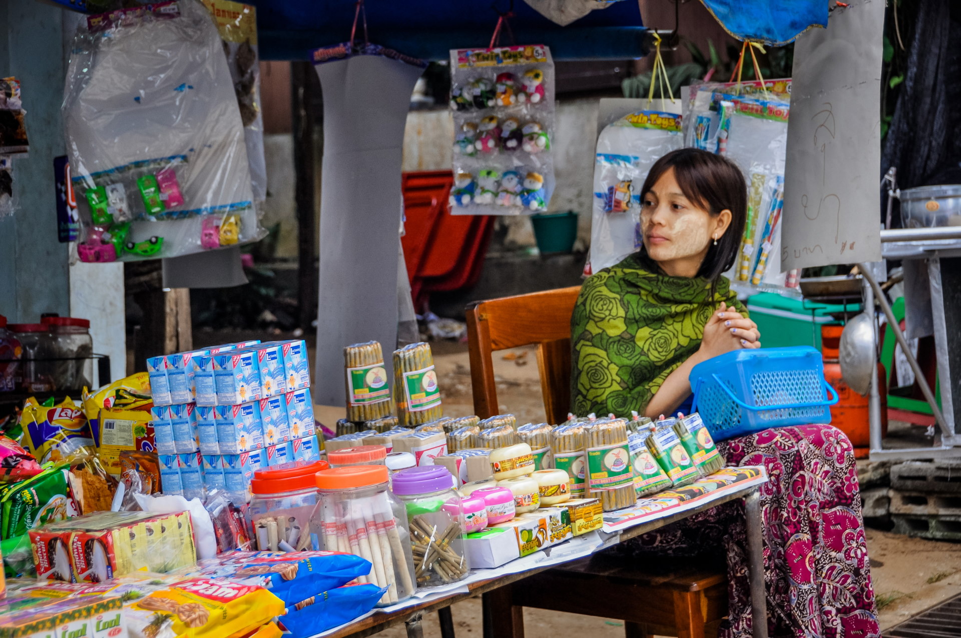
Determined to explore the outskirts of the village and not just its main street, we decided to walk further, gradually moving away from the hustle and bustle of the shops next to the entrance of the bridge.
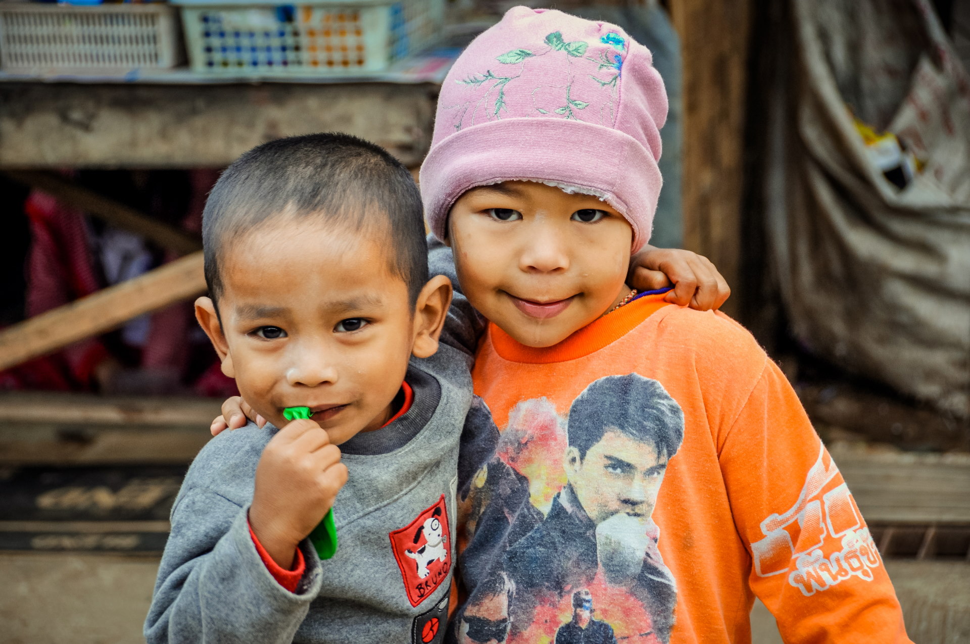
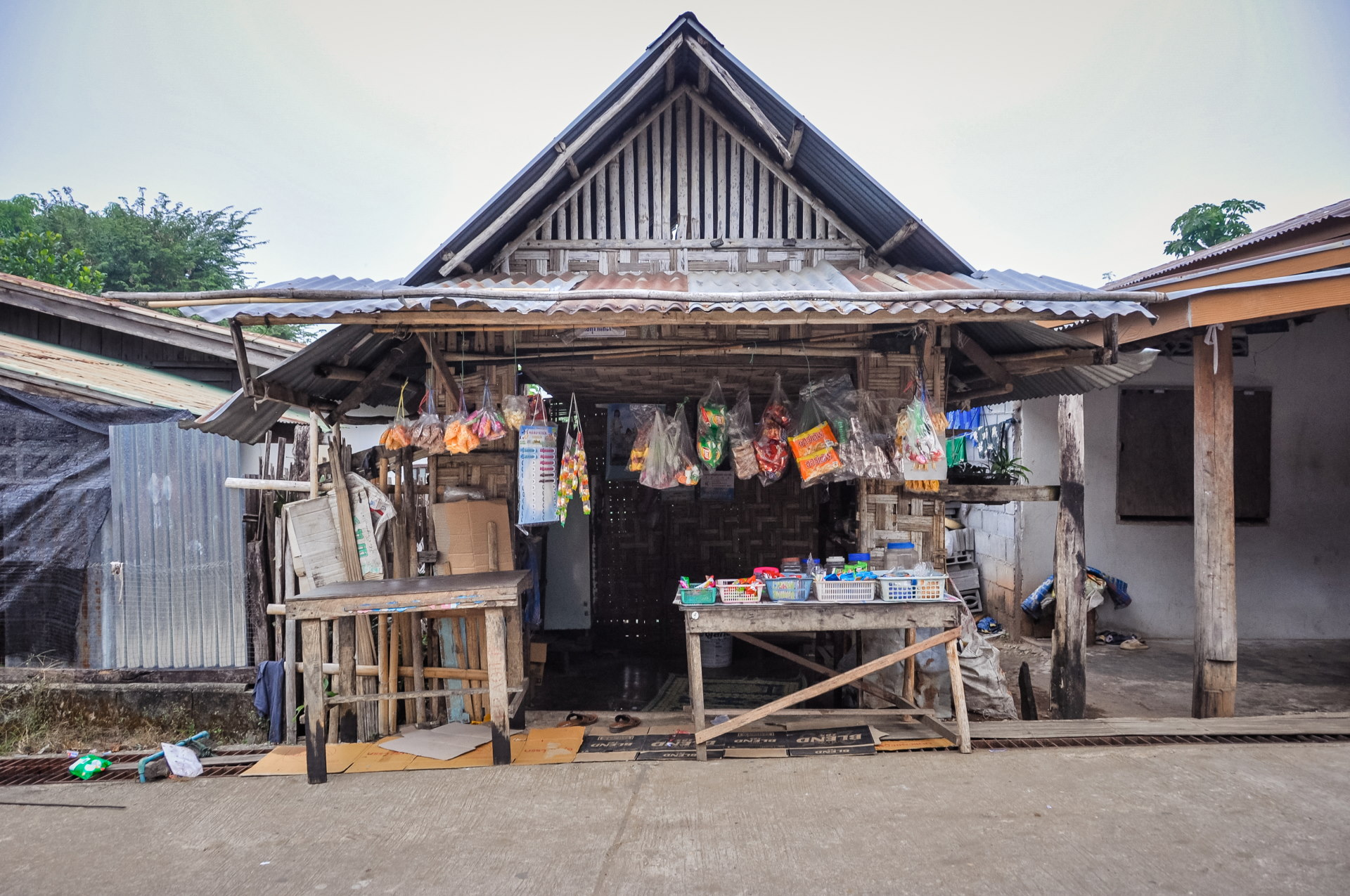
In practice, we took the first right, less than 100 meters after the bridge. The reason I mentioned at the beginning that we didn't have a GPS is because I didn't yet have a smartphone. But Google Maps was already widely available, so I had done my reconnaissance the day before and wasn't going in blind.
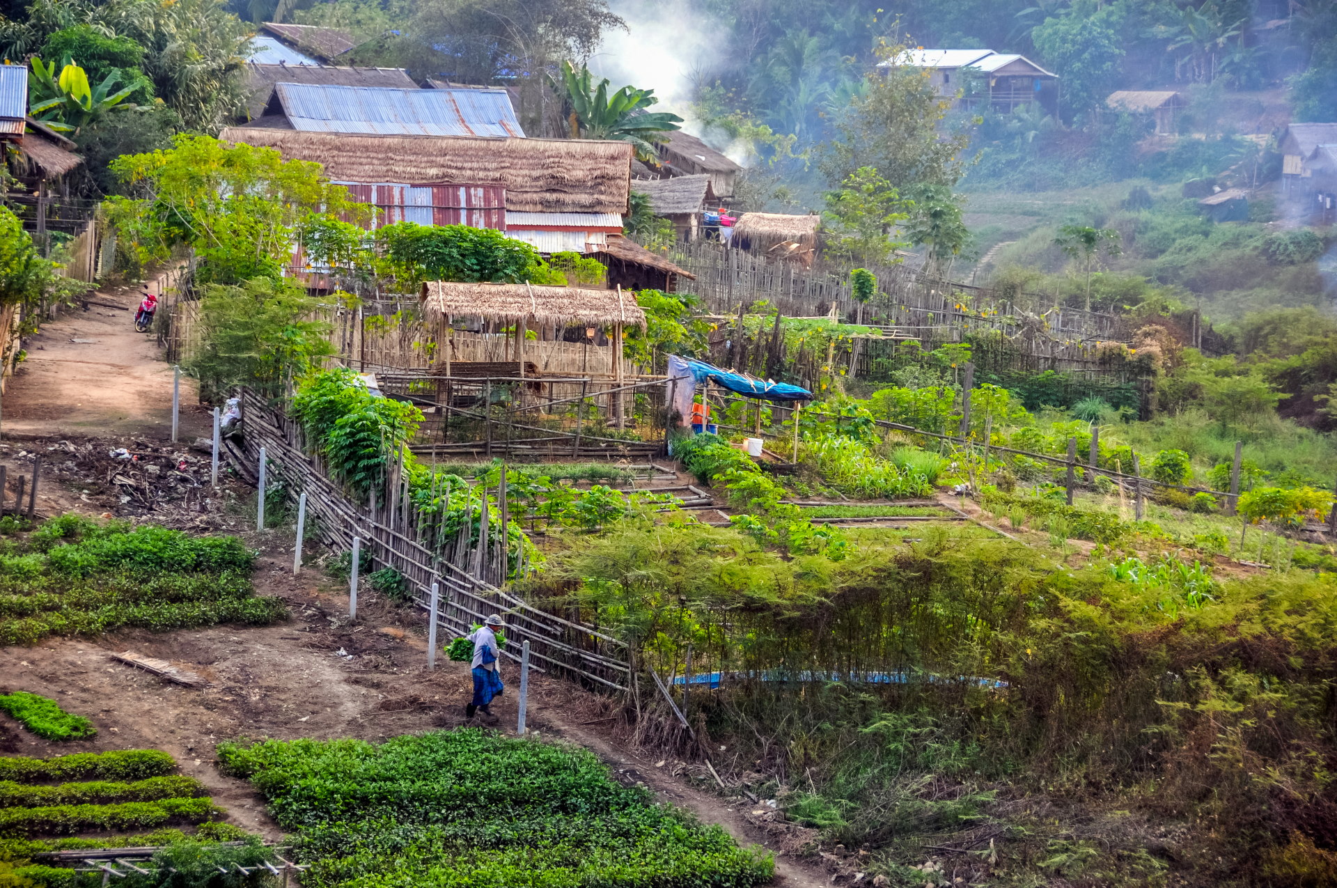
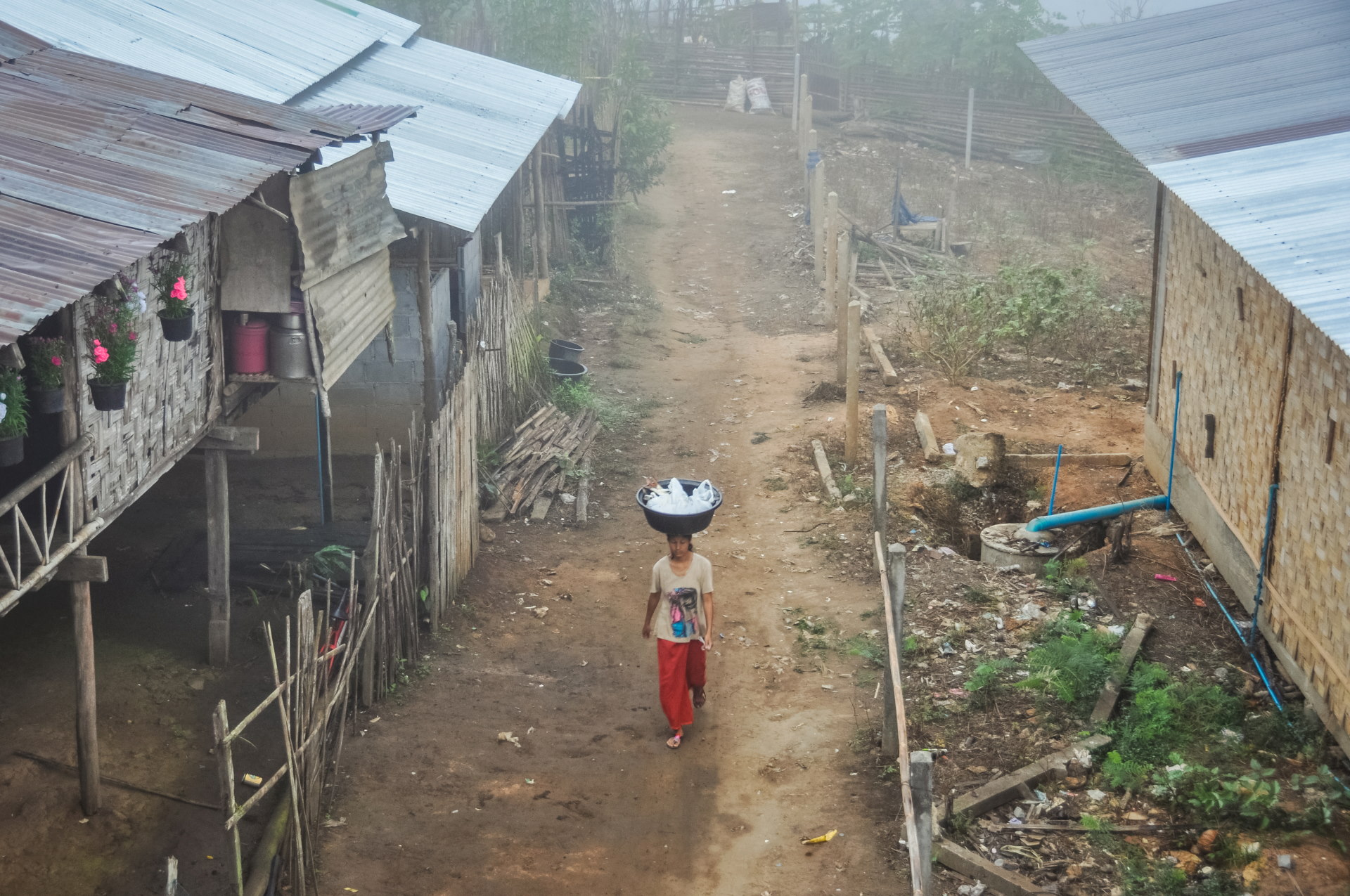
The goal was to reach a street in the village, isolated from the rest, which leads to the lake and offers a view of the bridge. At the time, the permanent bridge connecting these two areas did not yet exist, and we ended up taking a dirt track that cuts through vegetable fields, made cultivable by the low water level of the lake.
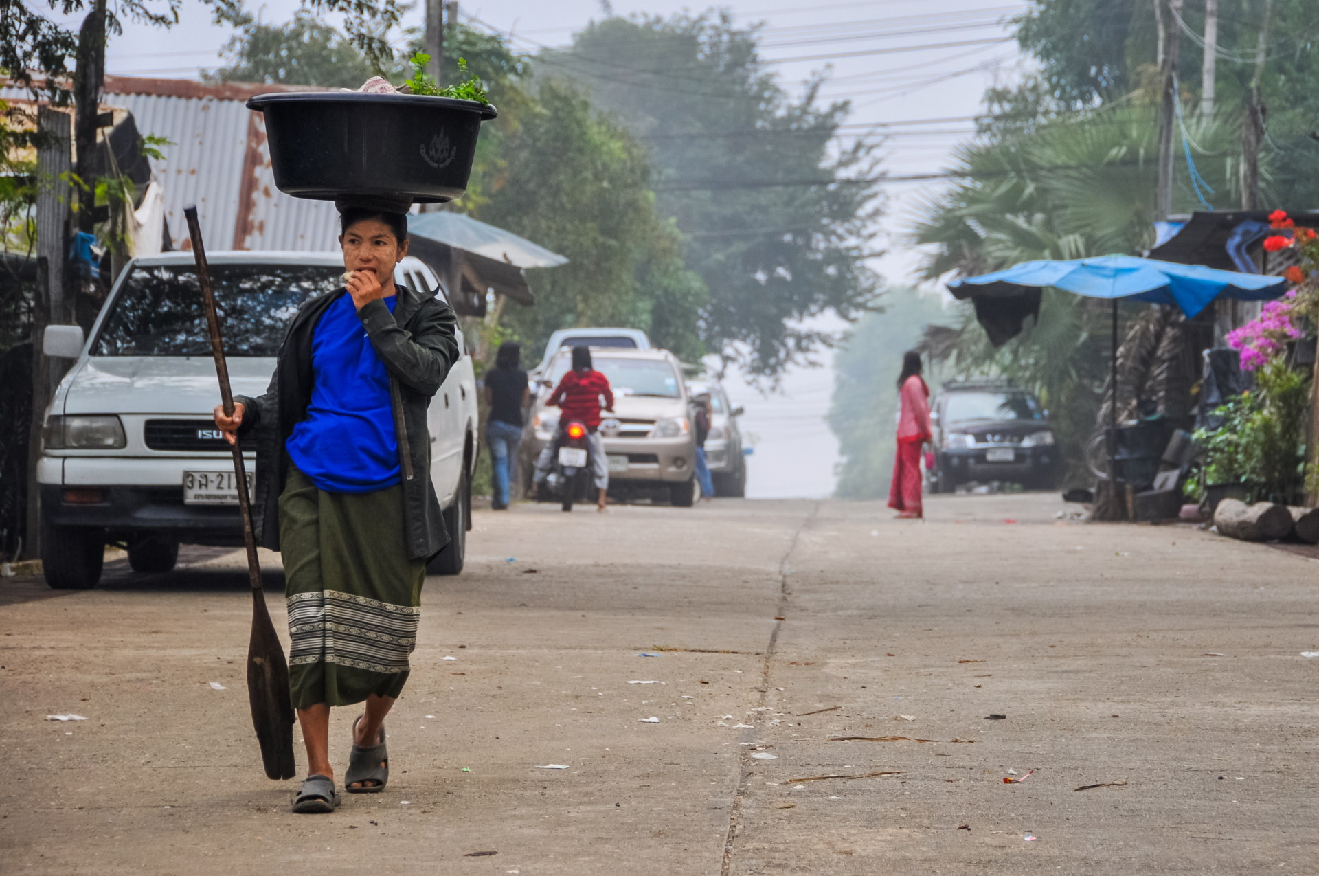
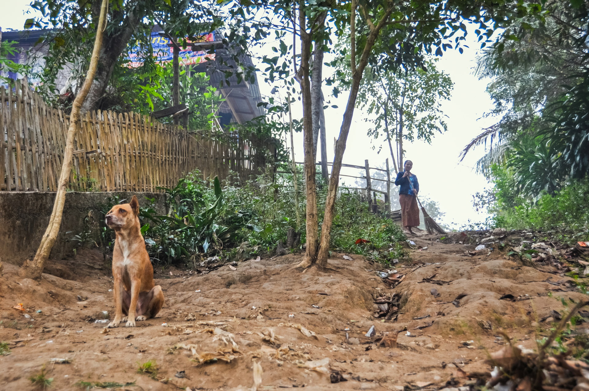
So we're already away from the hustle and bustle of the market, and not a single tourist is taking the time to venture this far. The village, I'd say they completely ignore it, out of laziness, lack of time, or because they don't find it interesting. Ultimately, it doesn't matter; what suits us is that we can come here without feeling like we're visiting a "zoo".
People here go about their business as if nothing were amiss; we are not perceived as walking ATMs or anything like that, but as people interested in their daily lives, their culture, etc. And for photography and contact with locals, there is nothing better.
So yes, in hindsight, these are comments that even I find amusing, albeit with a slightly embarrassed smile… But again, it's the context of the time that makes me emphasize this point. Many ethnic villages in Thailand were then being "sold" as attractions, where, in the end, you only find a row of shops and few glimpses of ordinary local life.
The reference to "slot machines" therefore alludes once again to the pseudo-ethnic commercial villages where the main goal is to sell you souvenirs and extract money from you, and I am deliberately exaggerating a bit.
Knowing that, in places like this, it's customary to print a few photos to give them, they always receive this "gift" with a smile and a certain amusement. Smartphones weren't yet commonplace, and a camera was quite expensive at the time.
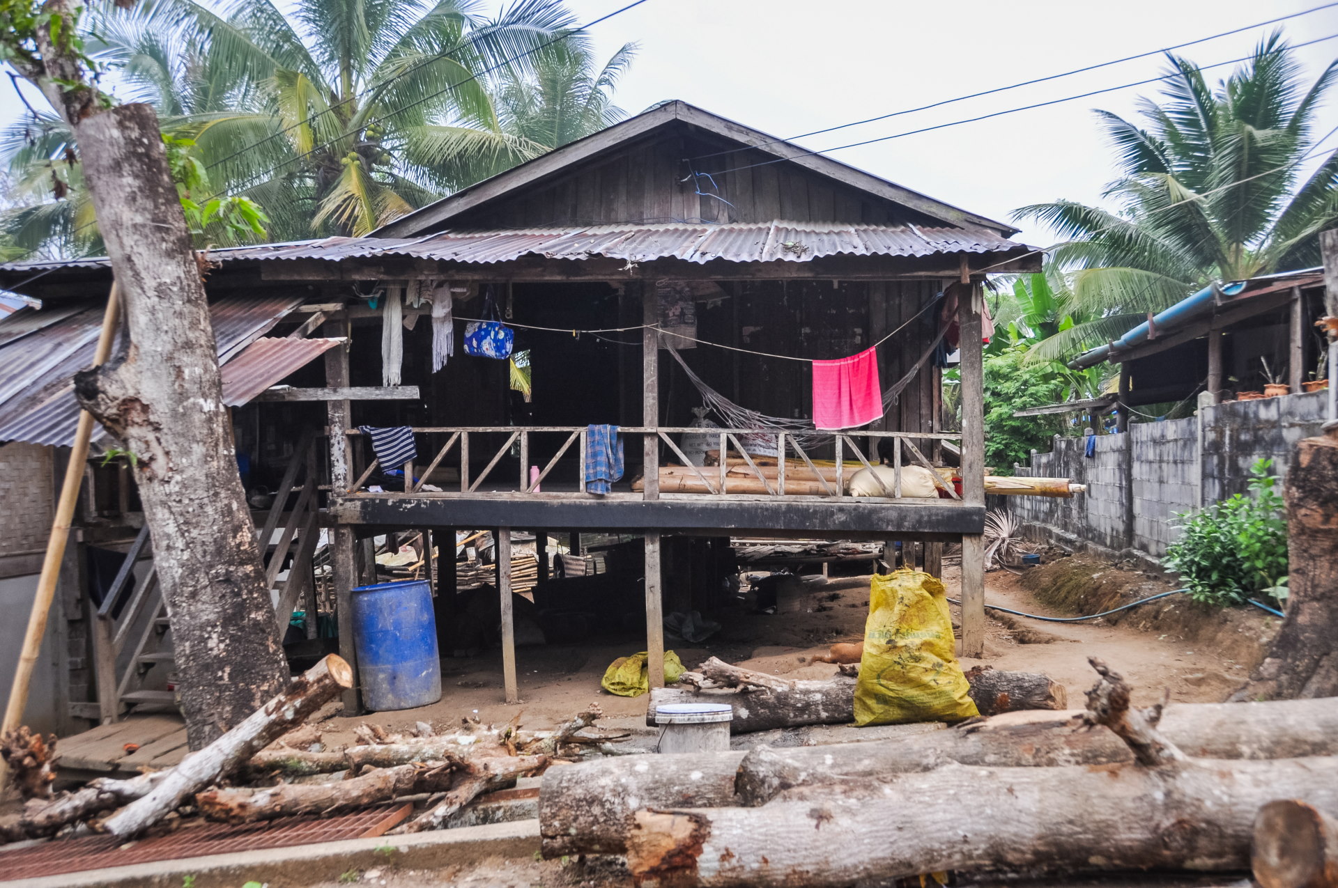
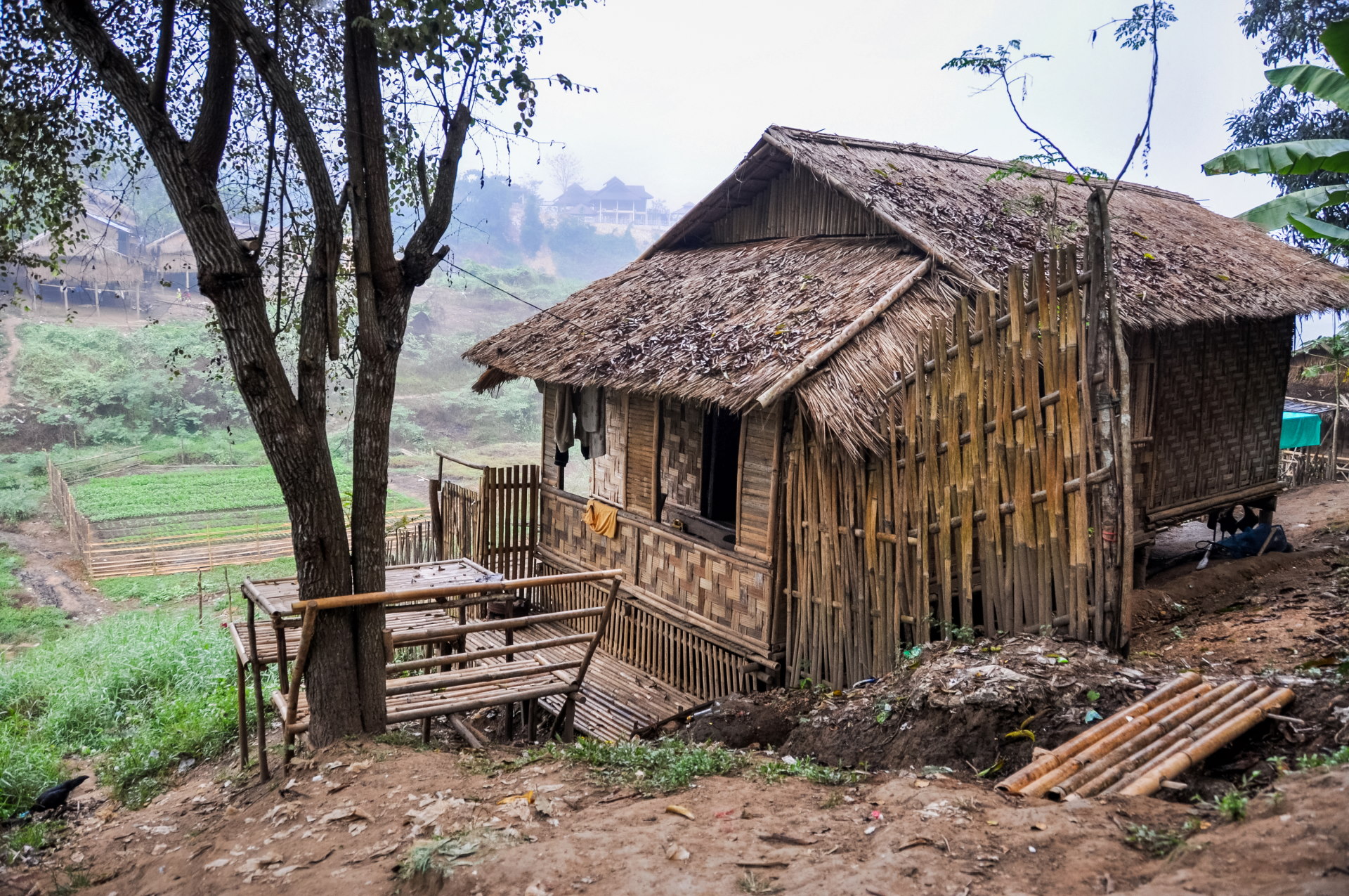
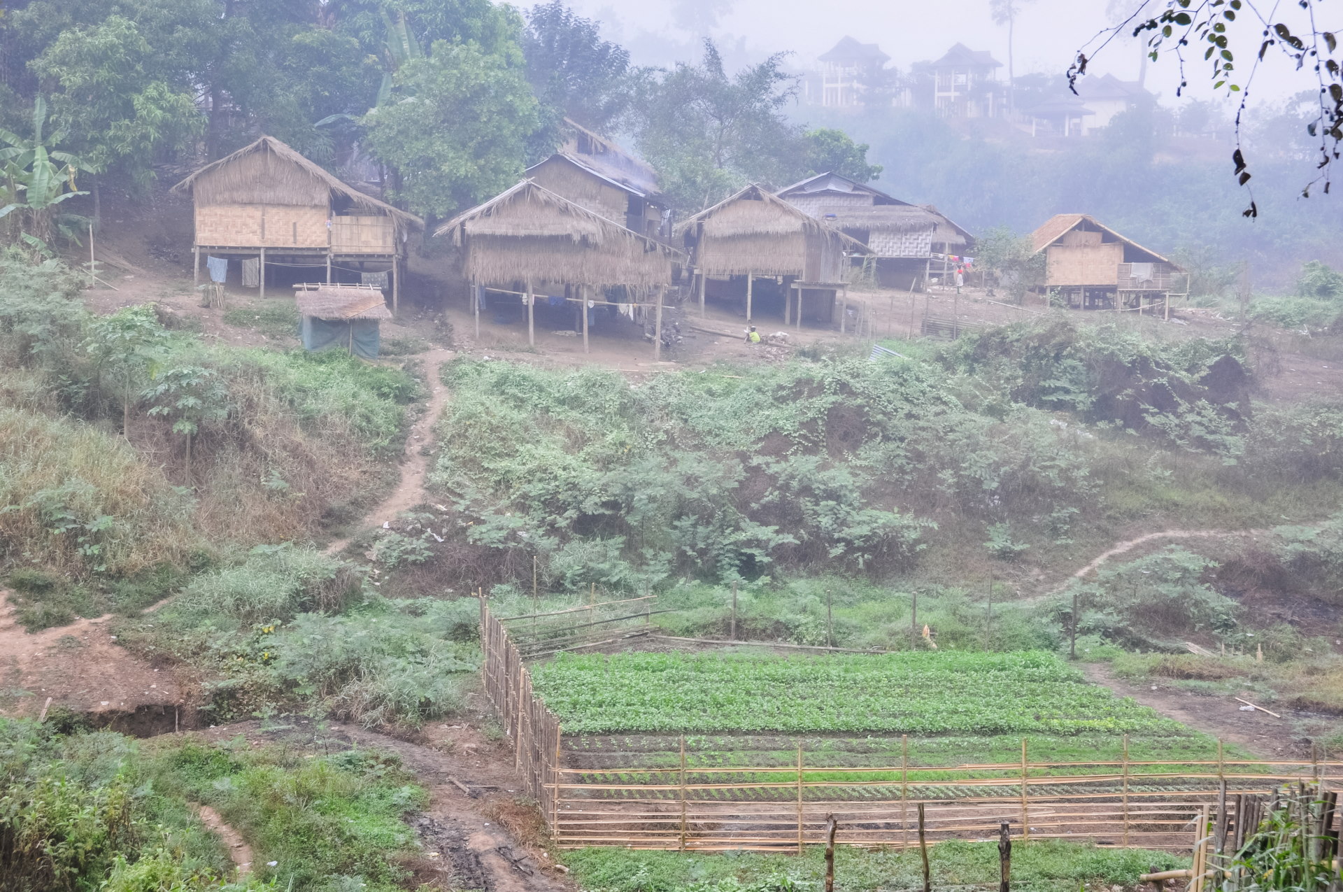
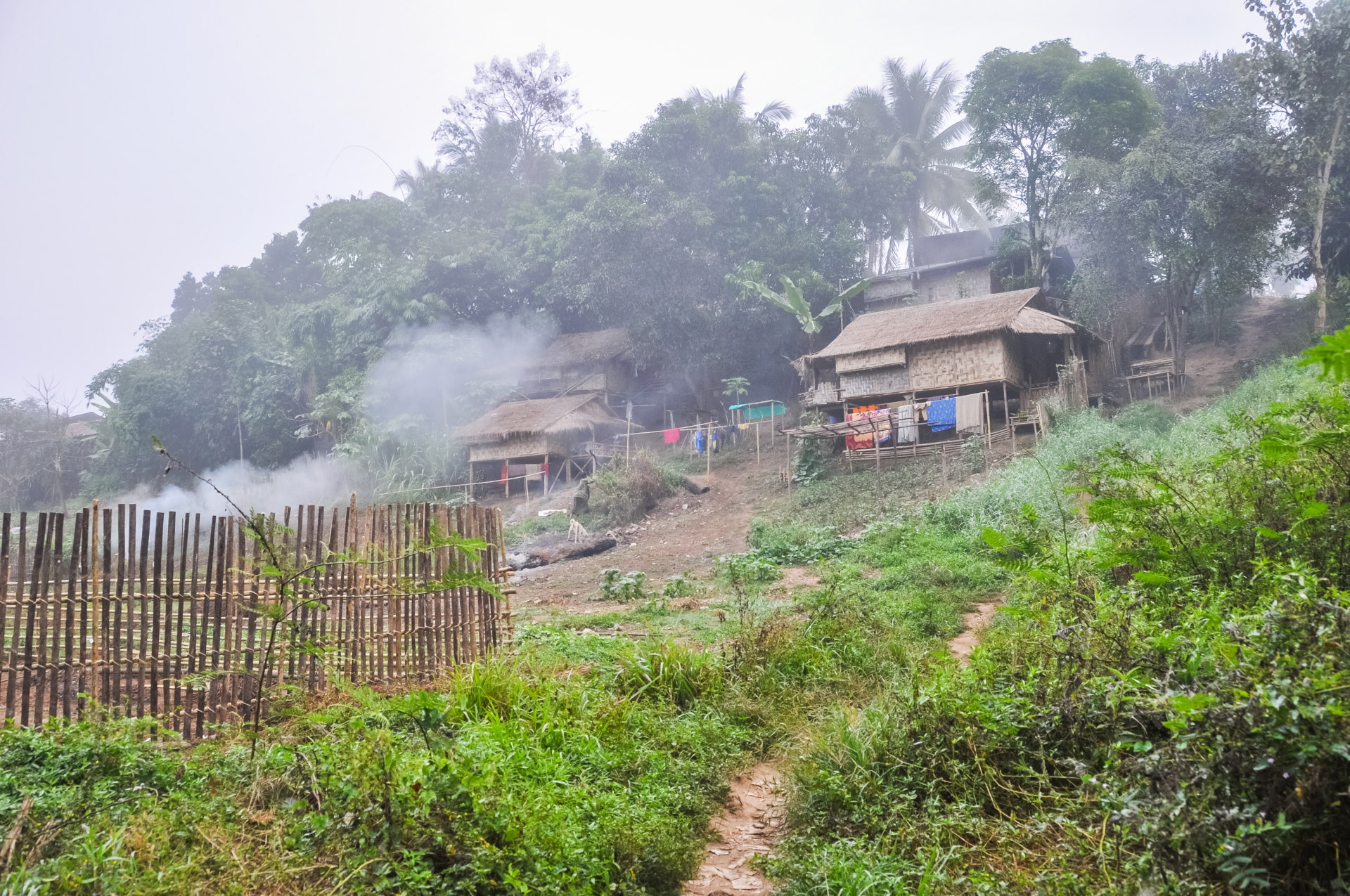
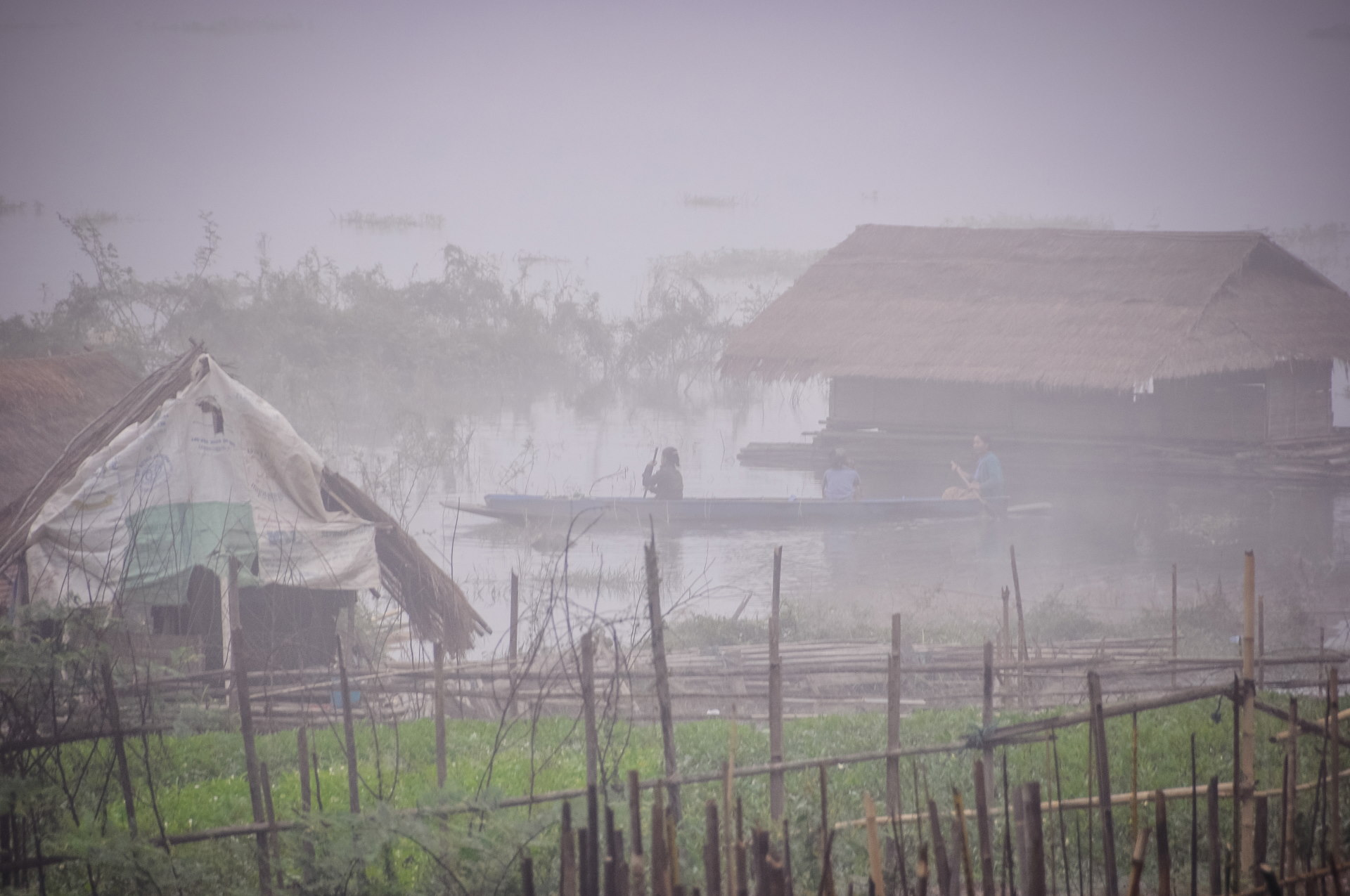
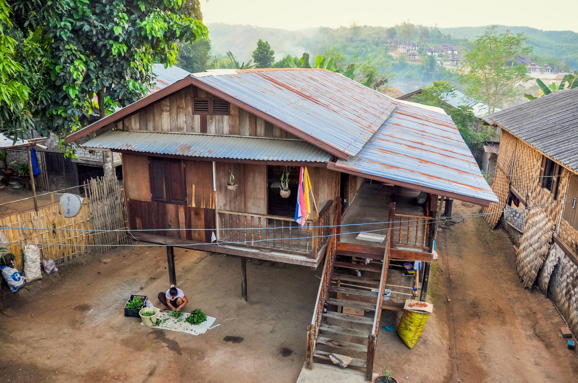
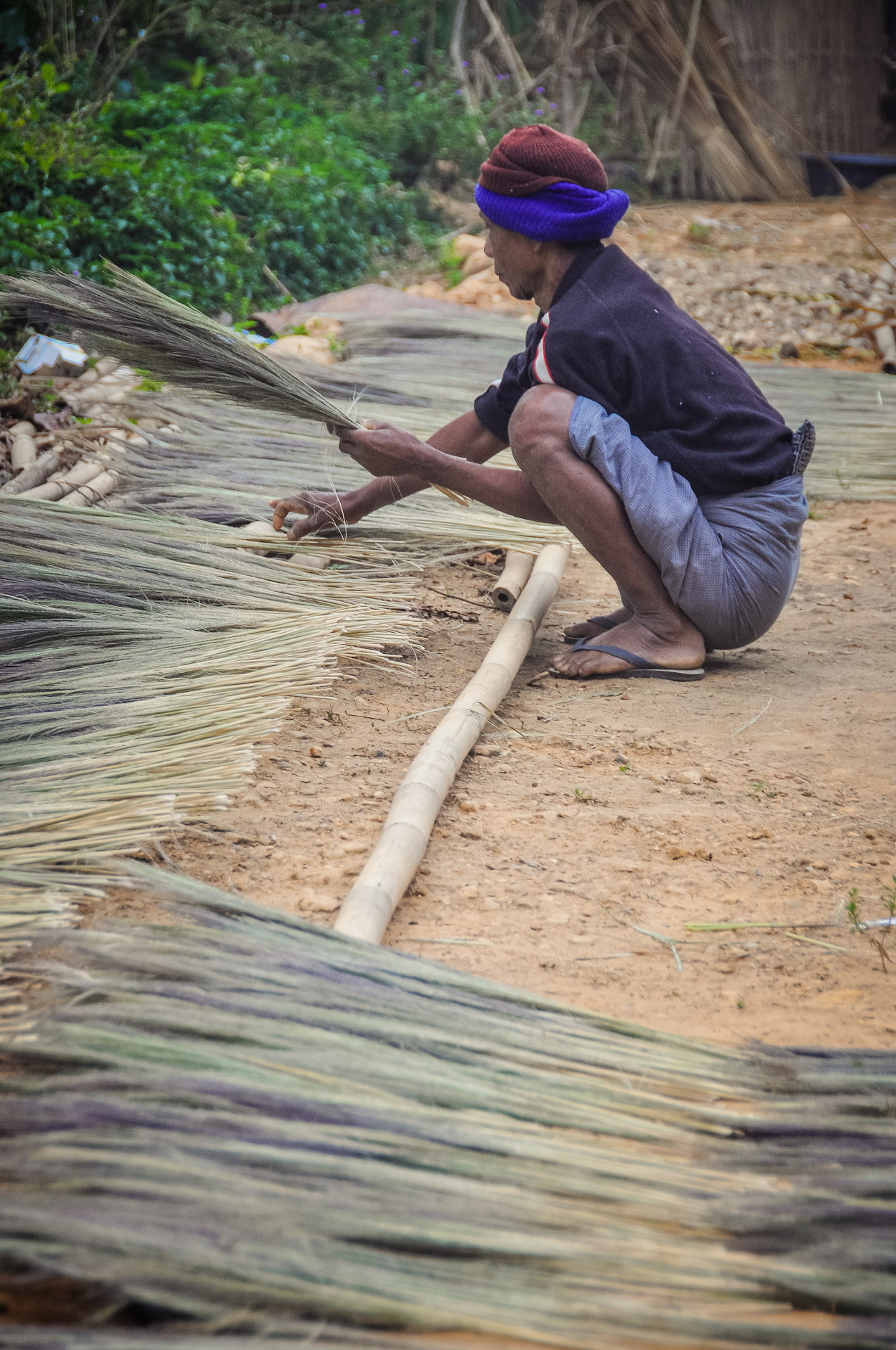
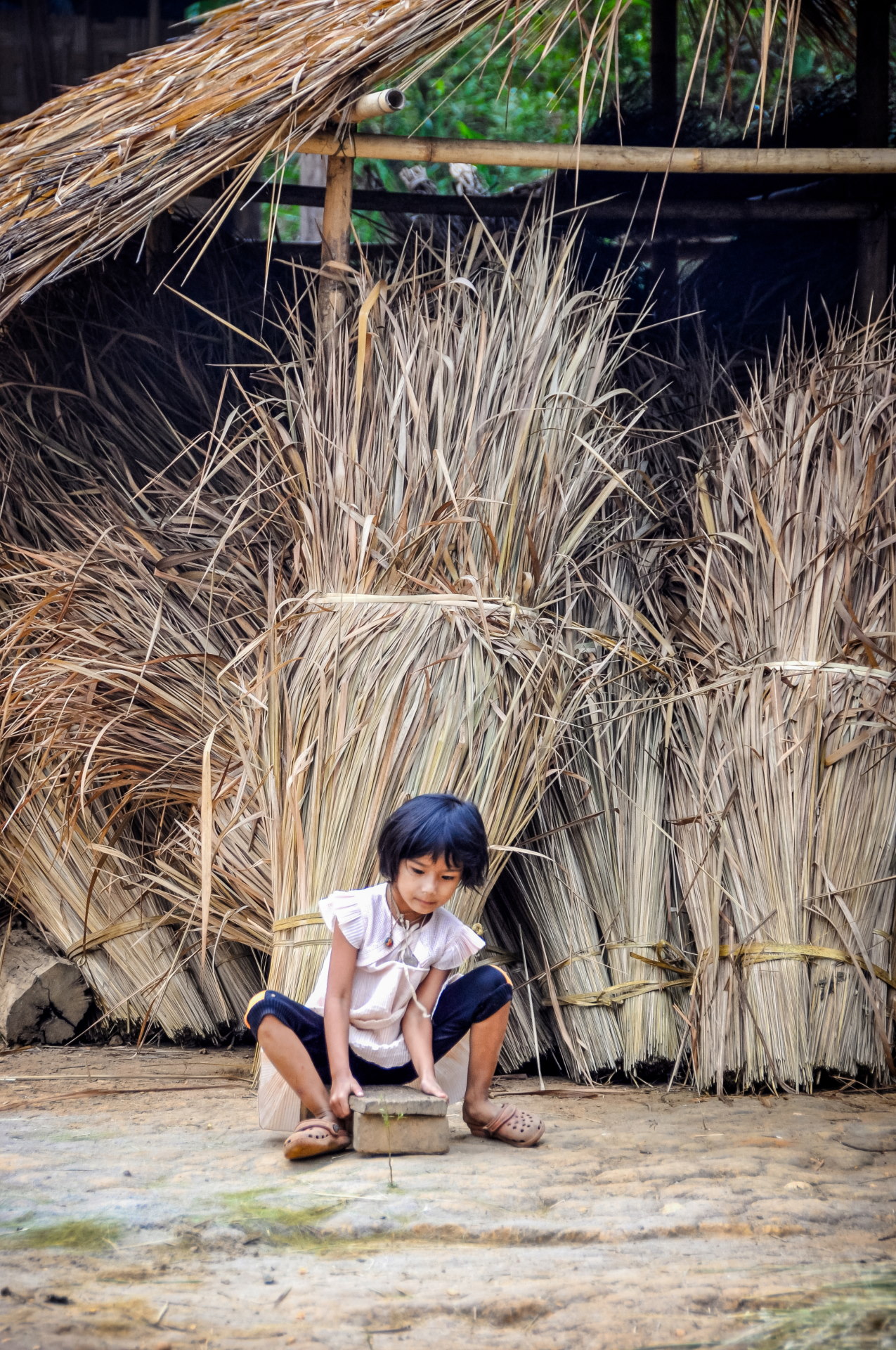
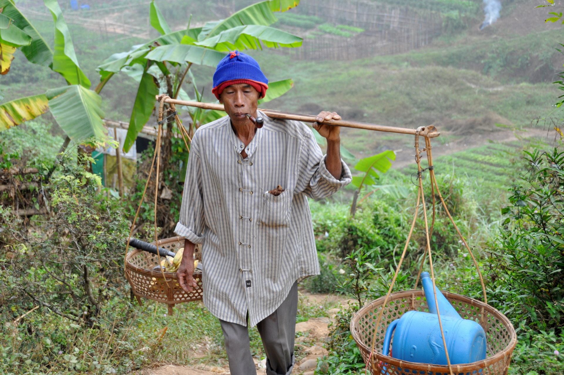
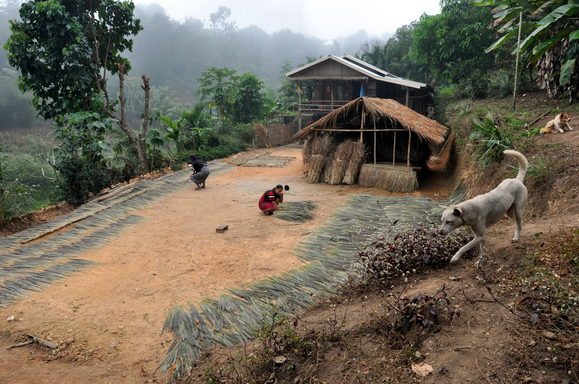
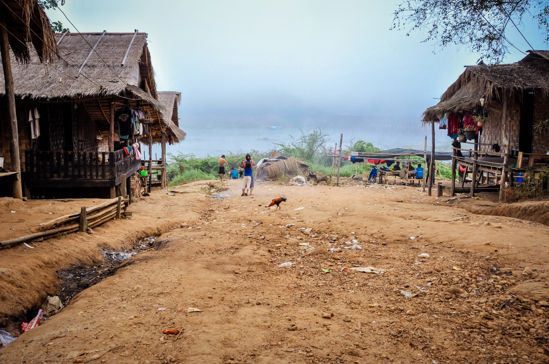
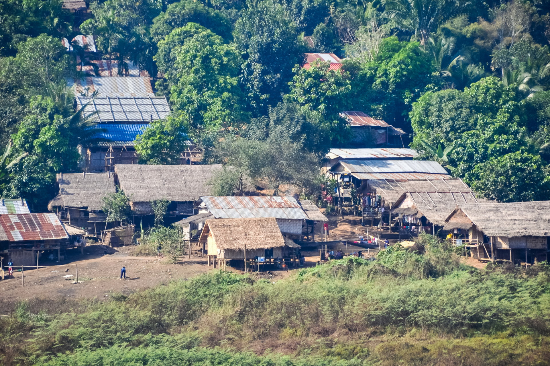
On the other side, the houses facing us are mostly made of bamboo, and very quickly, we are immersed in the daily life of the villagers. In front of one of the first houses we pass, the courtyard is filled with grasses that a couple are spreading out to dry (grasses used to make brooms). Meanwhile, a little girl occupies herself as best she can, in her own little world.
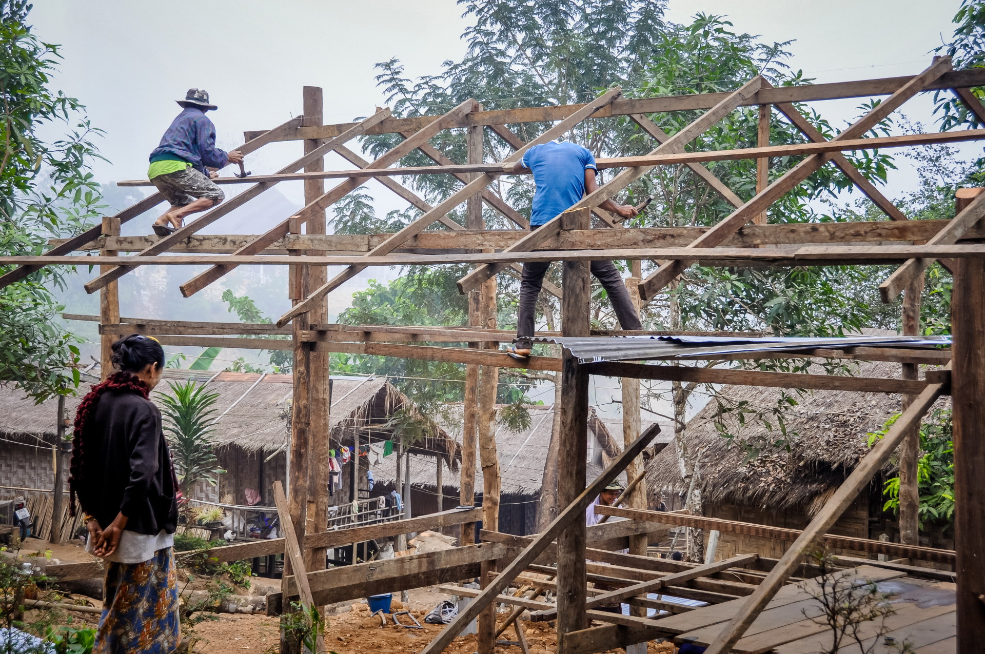
Right after, a group of men are busy on the roof of a new house under construction, while the woman keeps watch. These are ordinary, everyday scenes that, at the time, seemed to interest the Thais very little, who perceived this kind of place as just an ordinary village; that's why nobody came here.
Then along came a young man, probably an autistic teenager or something like that, who, under the amused gaze of a neighbor, immediately struck a pose when he saw me with the camera, which led to the following series.
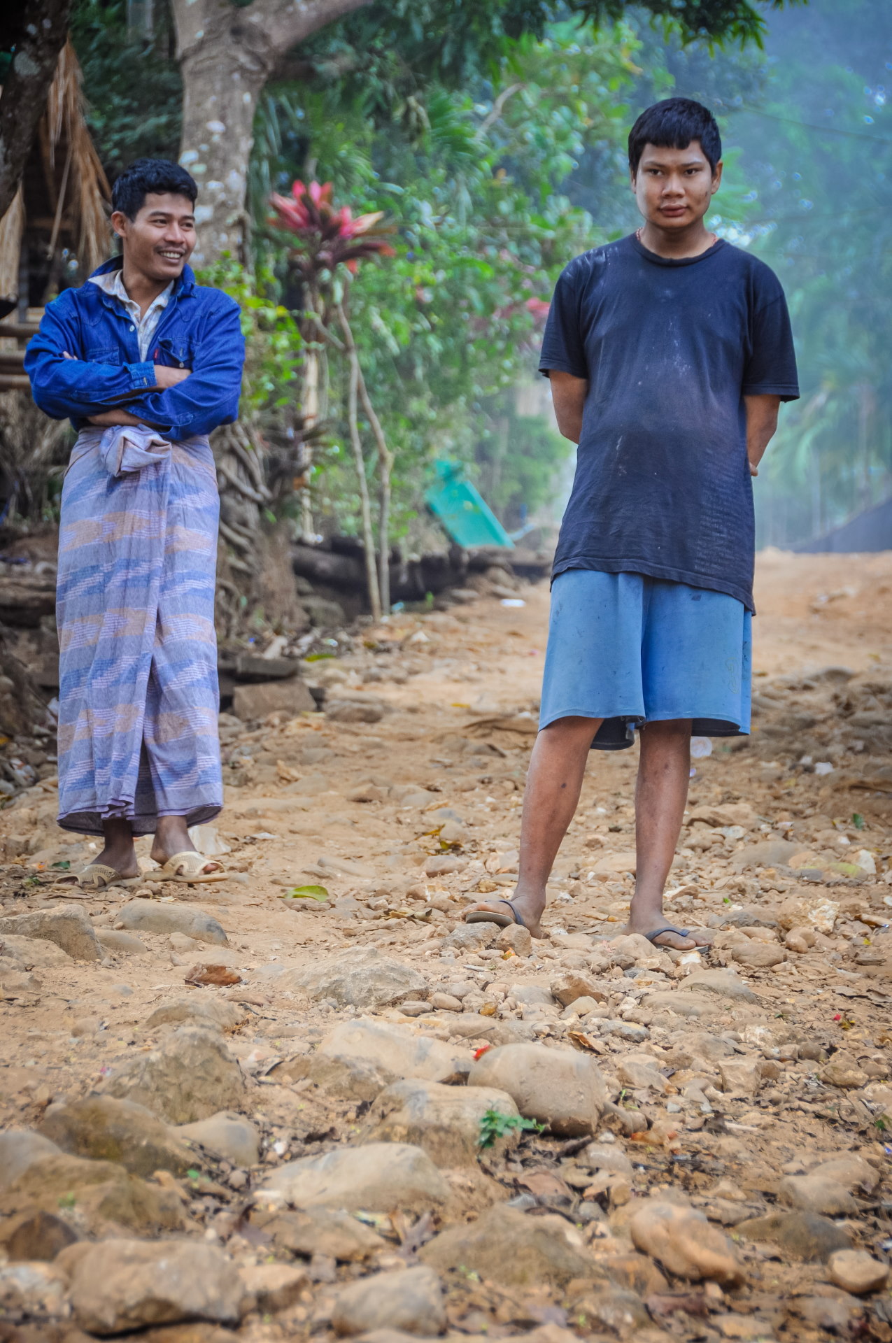
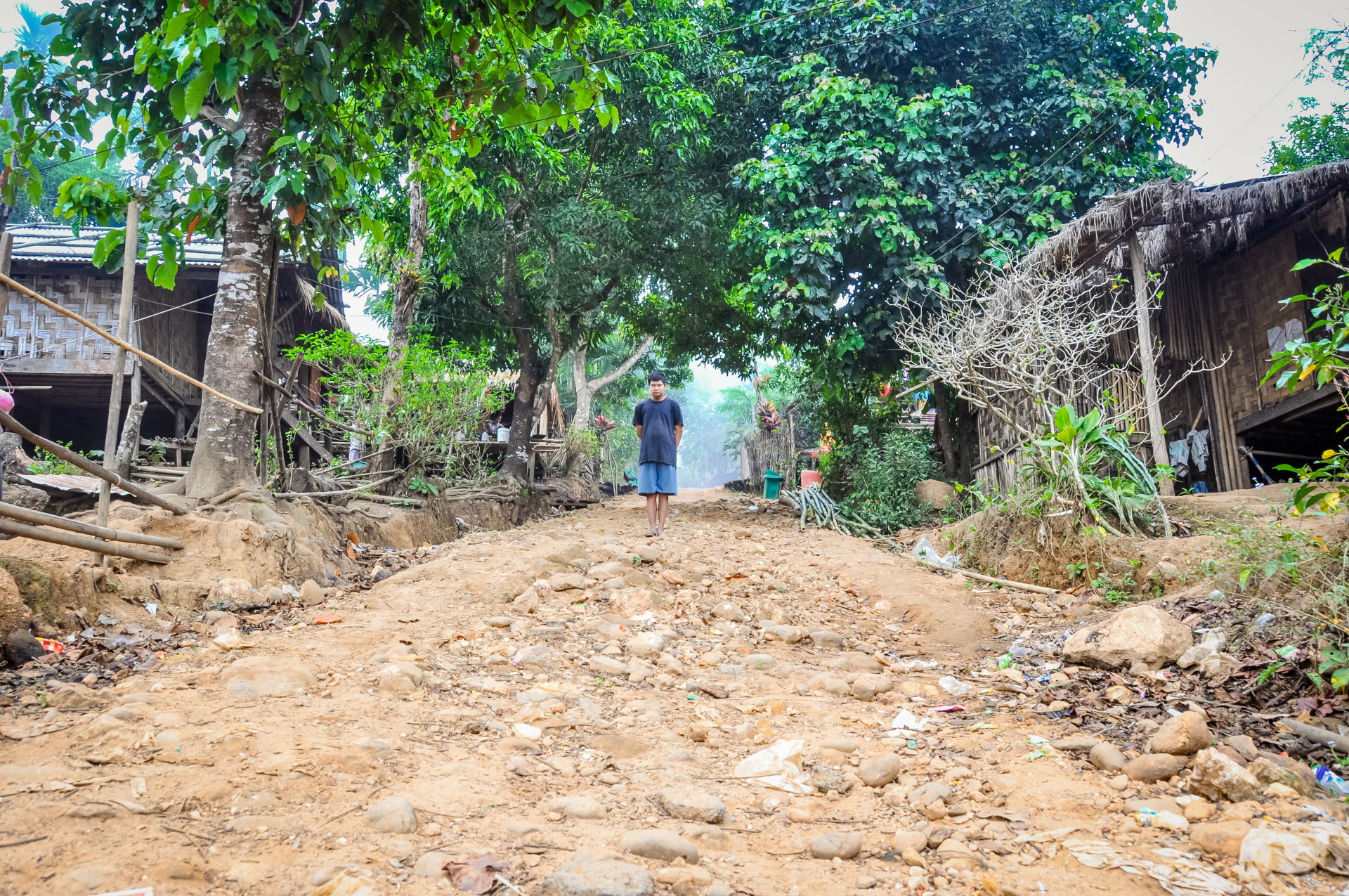
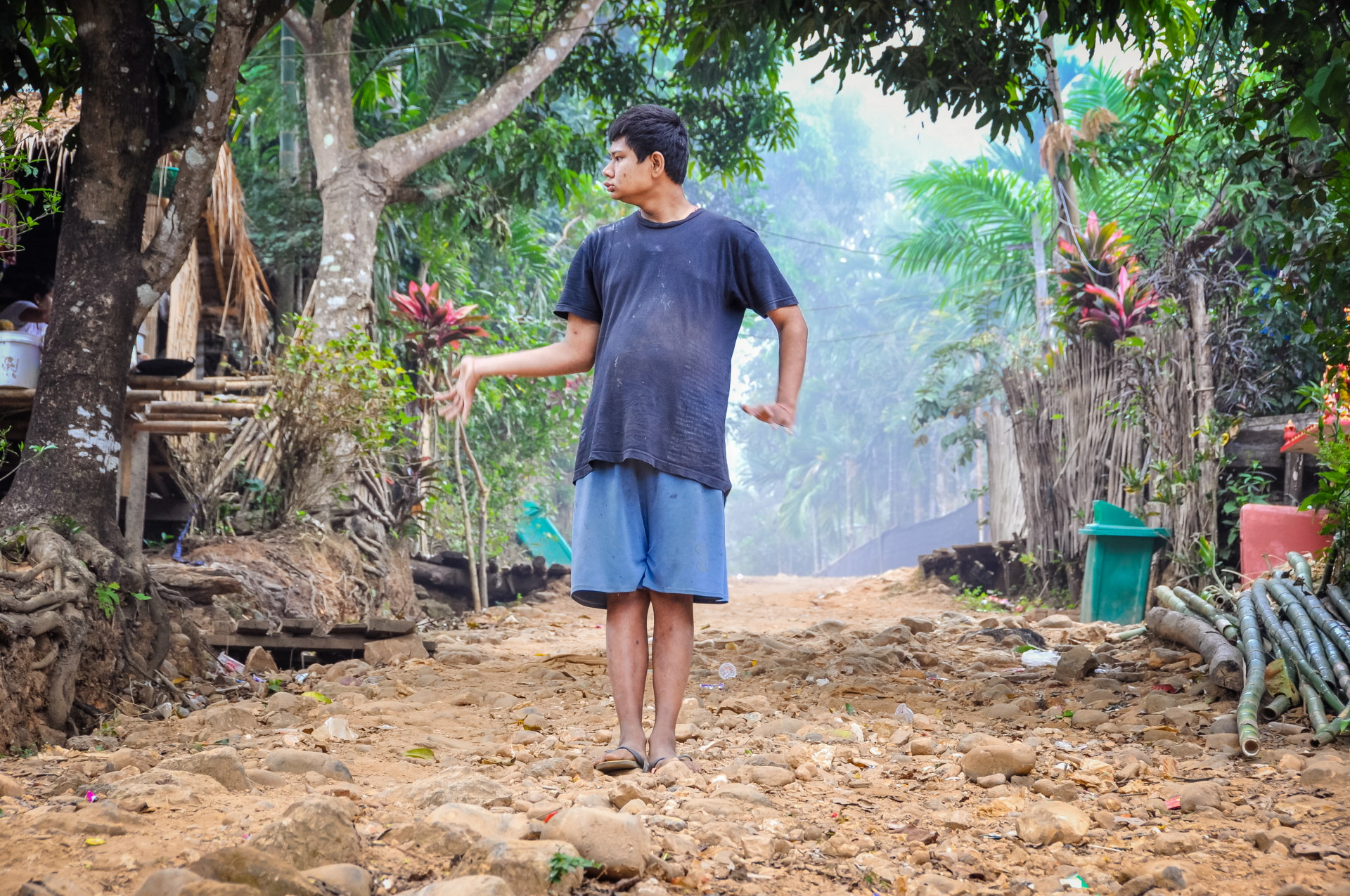
In hindsight, I obviously had no reason to assume that he was autistic; I was simply describing the scene as I understood it at the time.
Meanwhile, the children play and crowd around us, as we're the current attraction in this village where not much usually happens. They particularly enjoy seeing the photos I've taken.
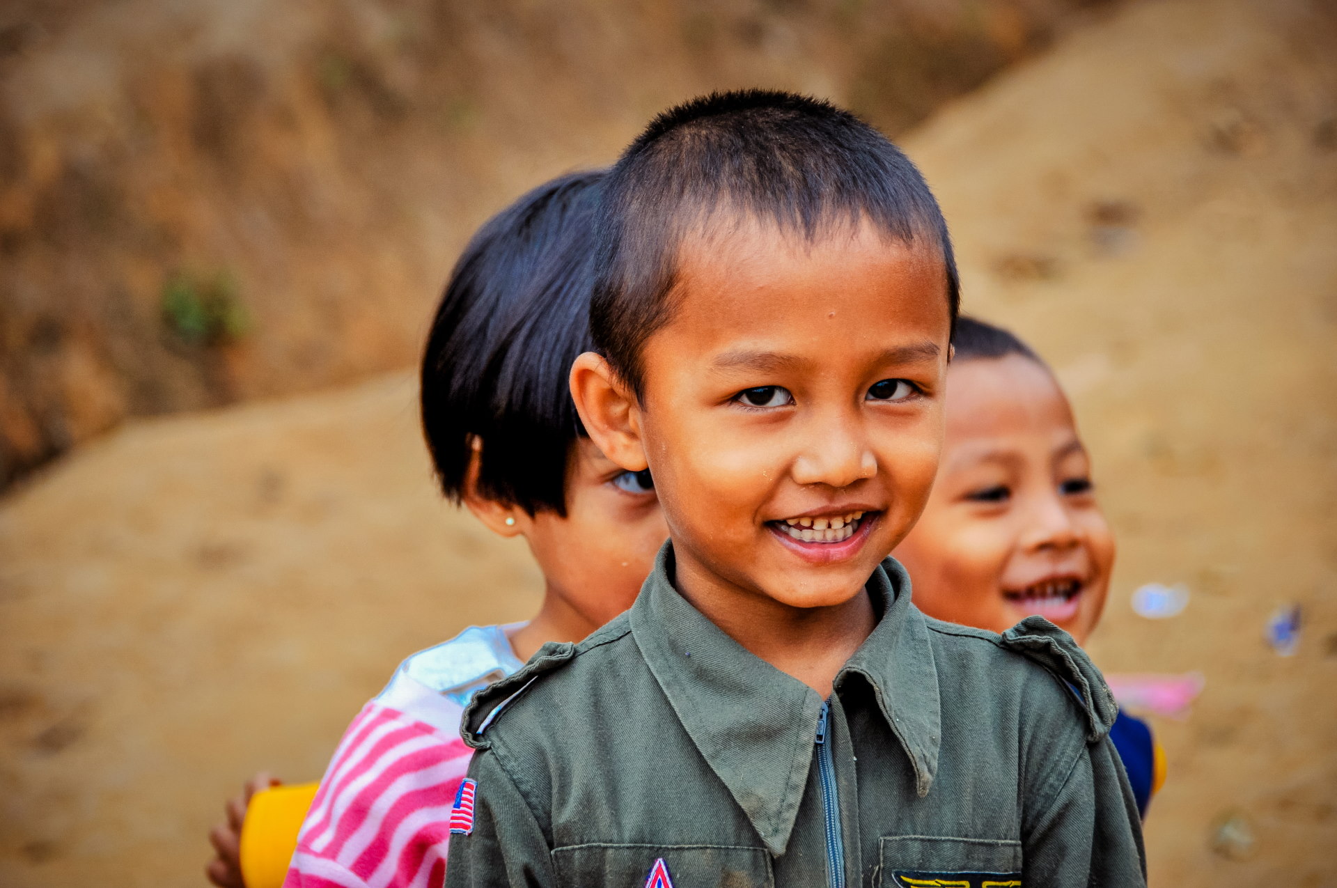
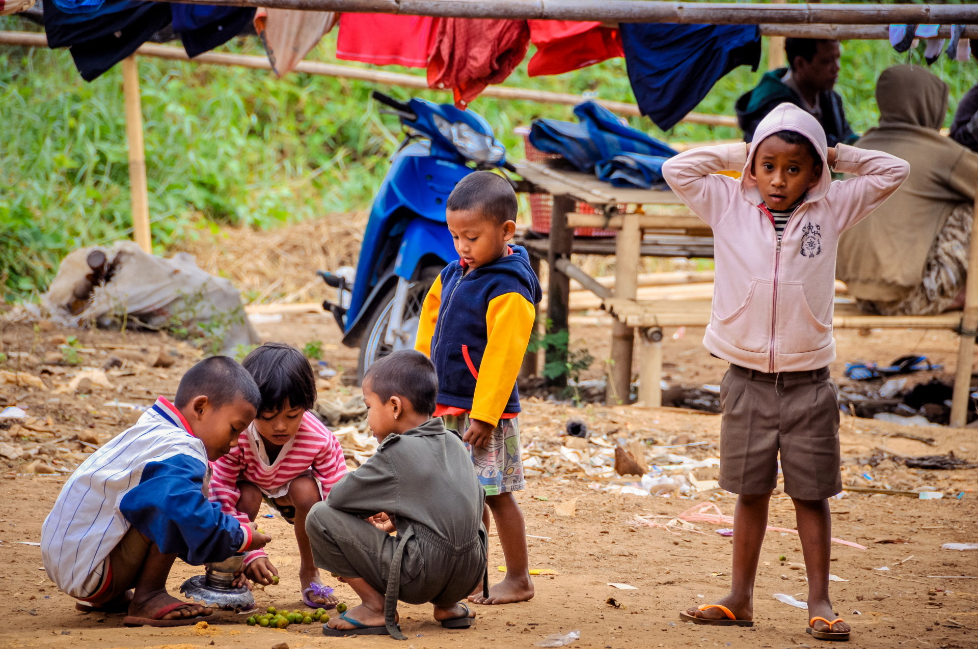
Adults are also present, most of them chatting quietly. All the characteristics of a Southeast Asian rural village are there, with chickens and other animals roaming freely around.
All the houses around us are quite basic, always with a terrace in front, a privileged place to go about different activities: cooking food, preparing snacks to sell on site or simply smoking a cigarette while observing what is happening around.
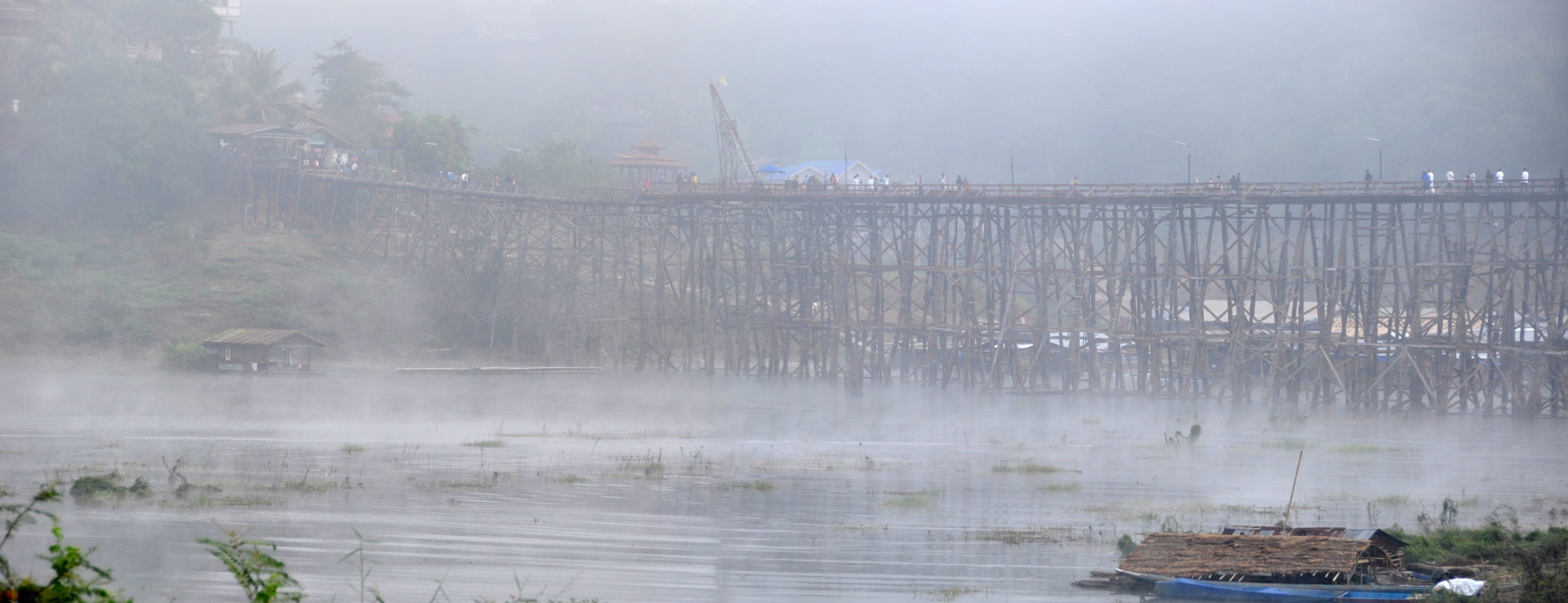
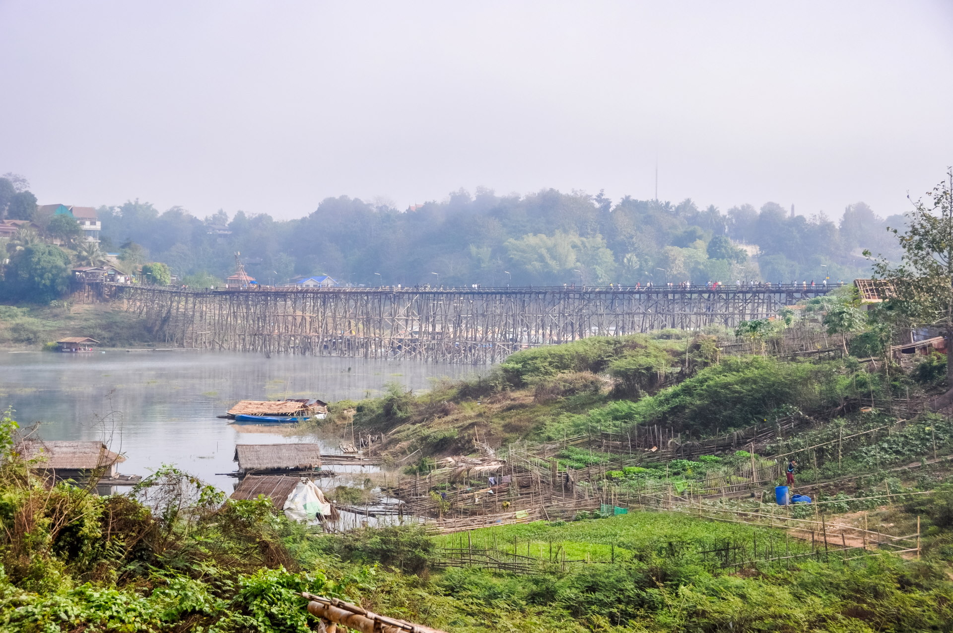
We eventually made it down to the lake, since that was one of the reasons we were there. Initially, we missed out on a photo of the bridge, as it was still partially obscured by thick fog.
But the mist dissipates quite quickly: after 20 minutes, just enough time for a few more photos and we get a clear view, a sign that it was time to slip away and let life here take its course.
Boat trip on the lake and its submerged temple
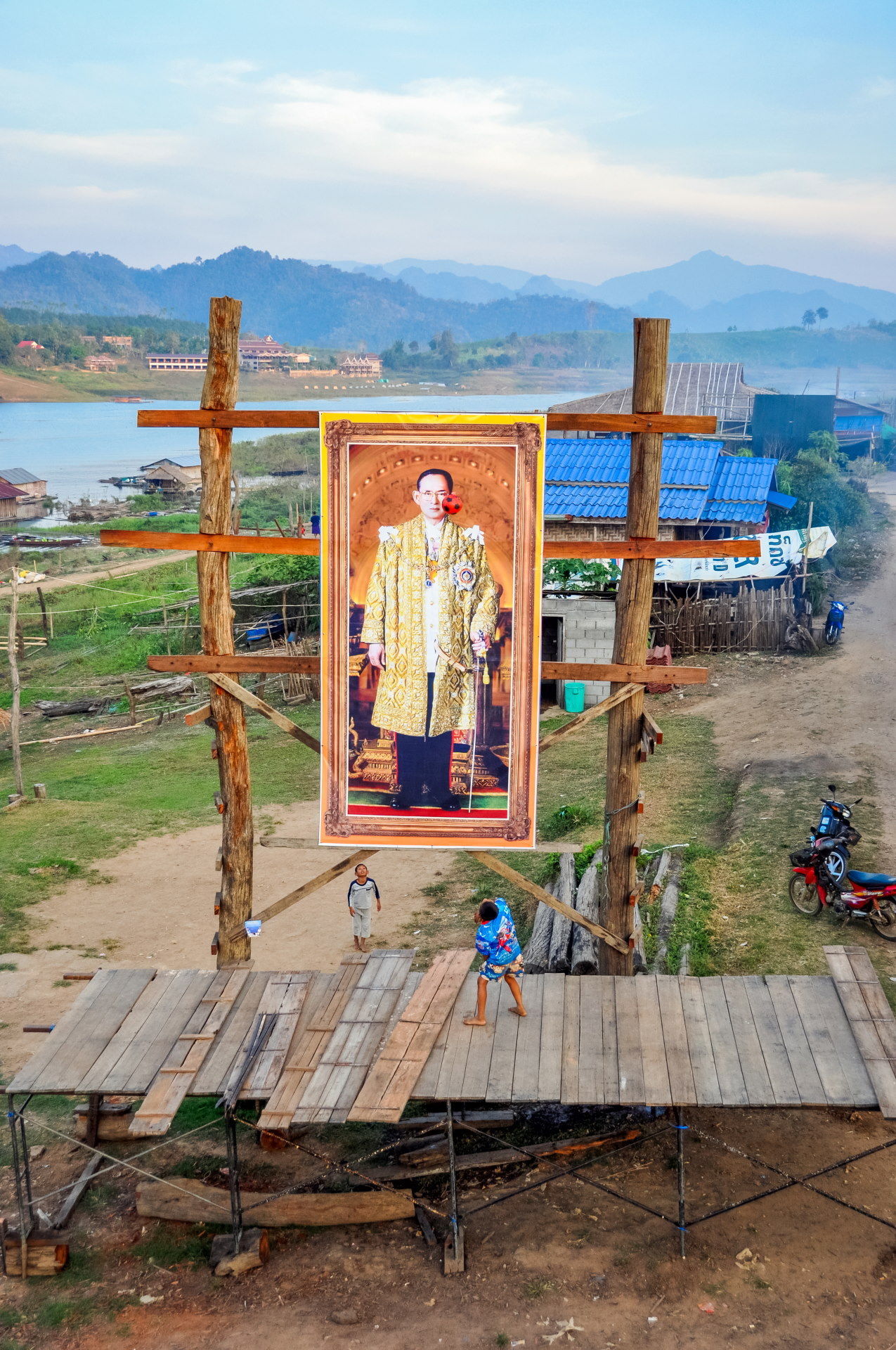
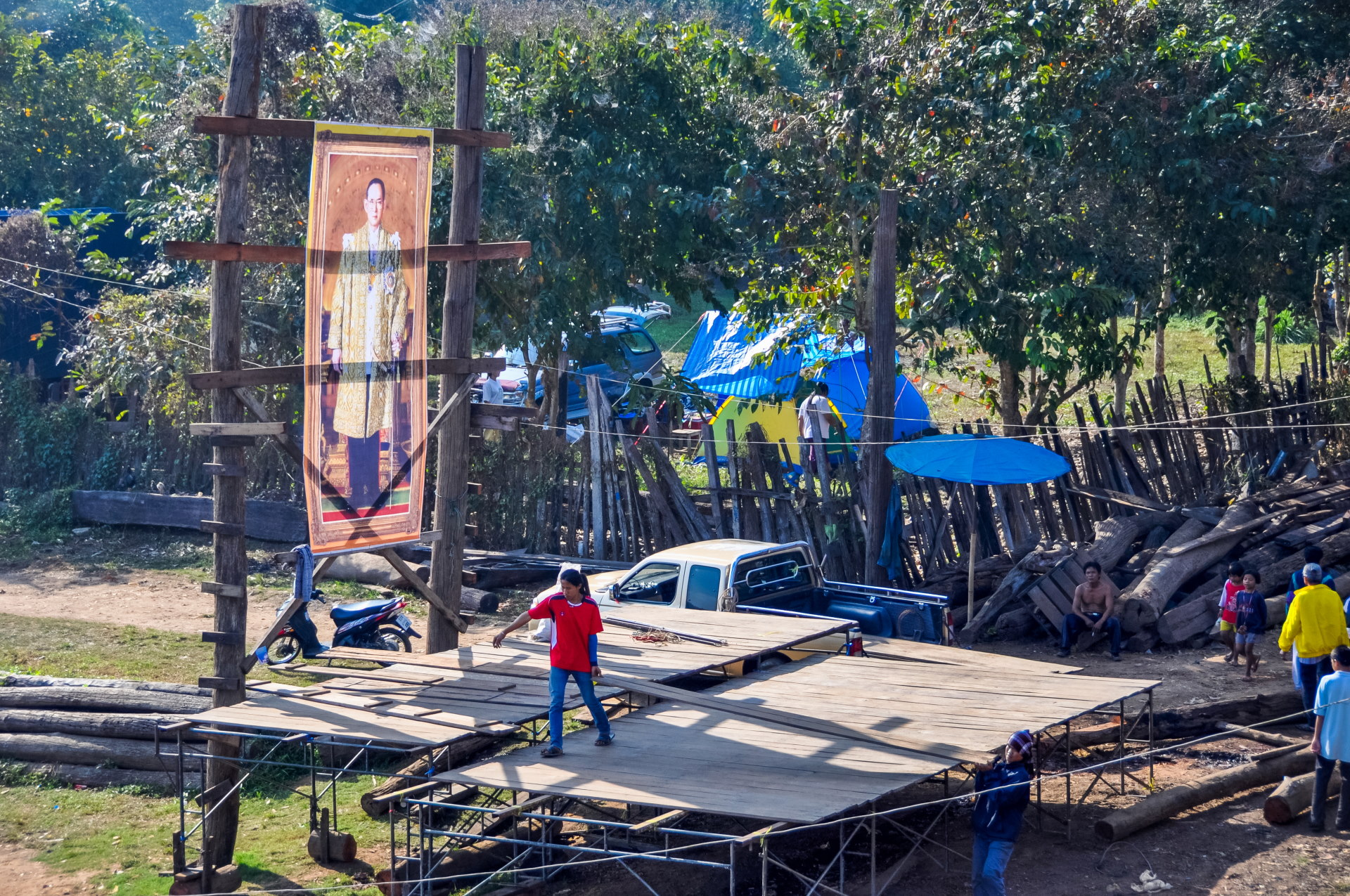
The sun finally appears and the fog dissipates. Crossing back onto the bridge, I notice the workers busy around the king's portrait, where they are finishing assembling a platform that will serve as a stage for the New Year's Eve celebration.
We also noticed bamboo receptacles lined up every two meters; I thought they were going to be used as "ramps" to launch rockets, but no, not really, they will simply be torches.
But before heading out on our adventure, we went back to our quarters to change, the heat was returning so the long-sleeved outfit from the morning was no longer suitable… Then all we had to do was go and join the boat that we had booked the day before to go for our ride on the lake and see this famous submerged temple (or what remains of it).
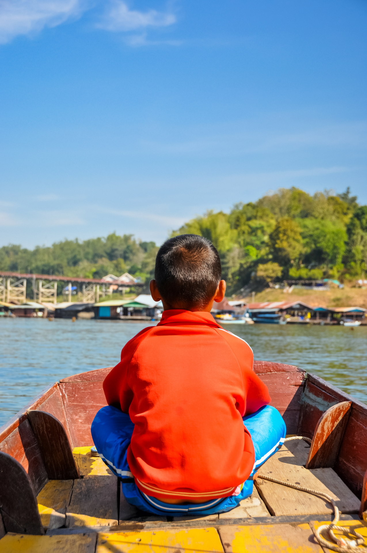
So we head towards our boat, on the deck we will cross paths with our little "tout" from the day before as well as his grandmother (I think, but I'm not sure this time...) who takes us directly to the banks where our boat was waiting for us.
A family affair, because I suspect that the "captain" must have been none other than the father (or at the very least an uncle...).
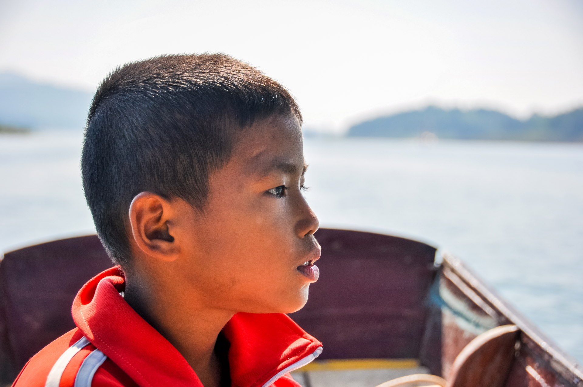
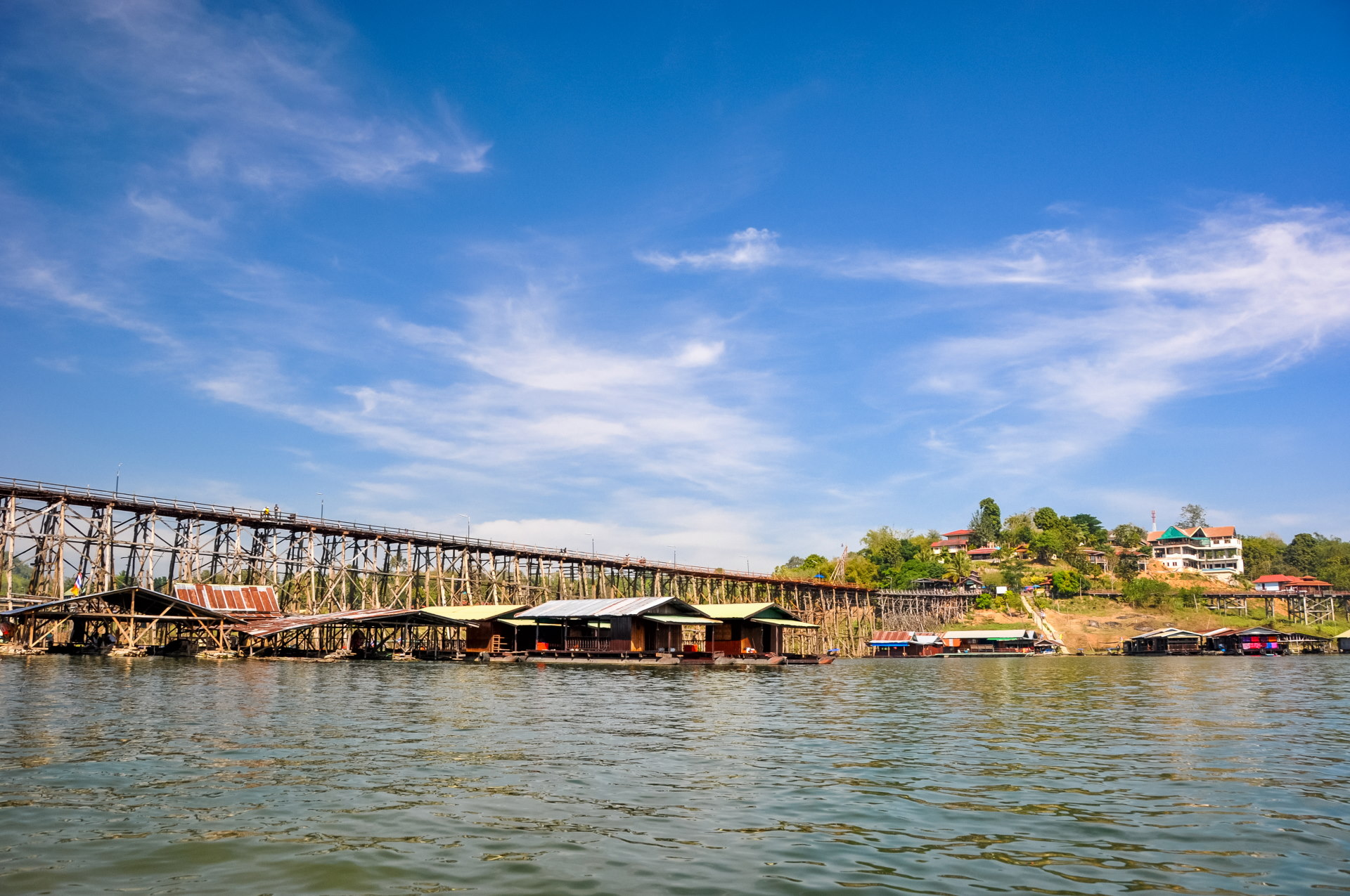
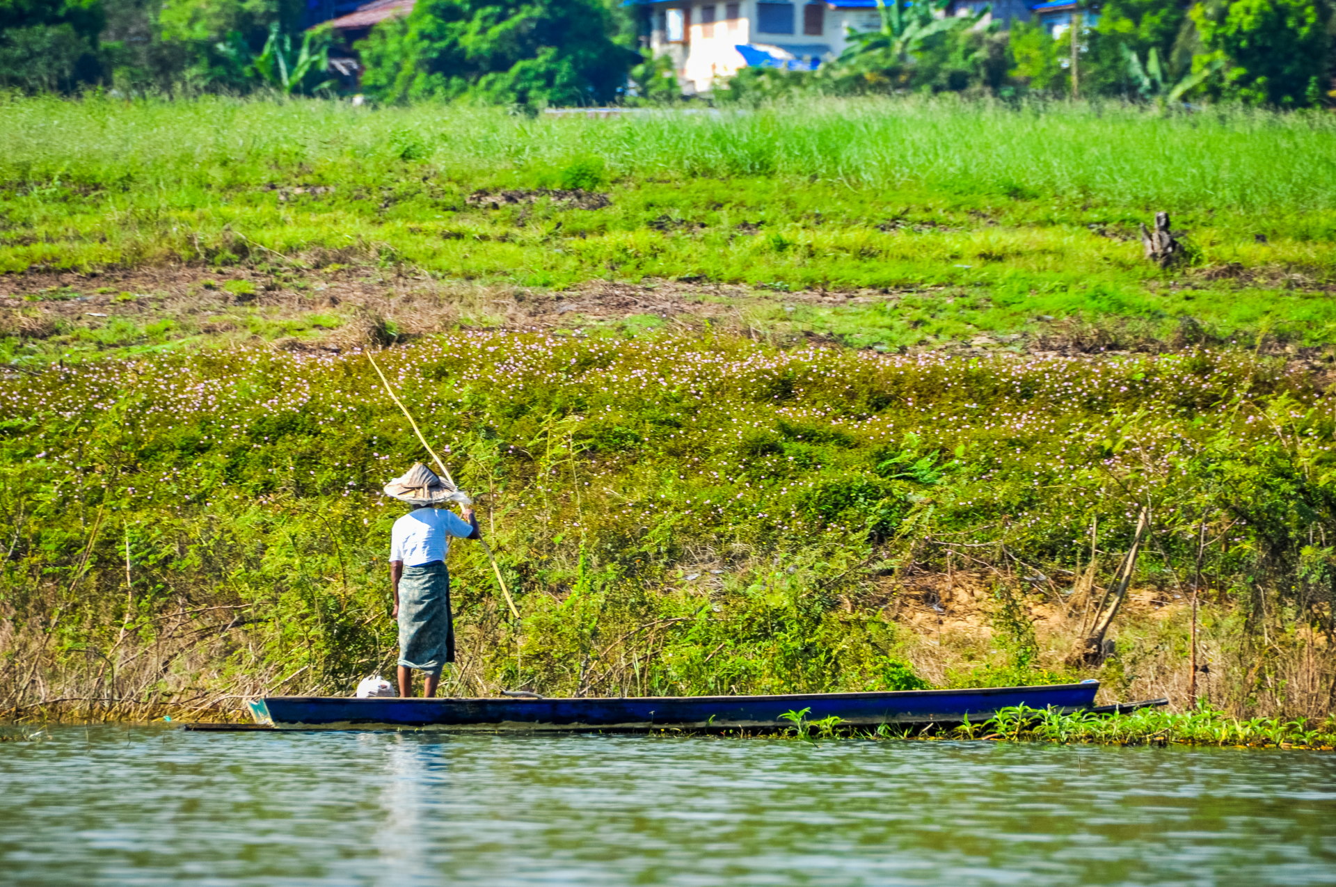
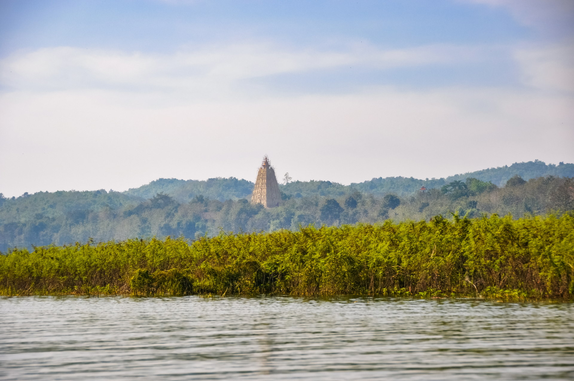
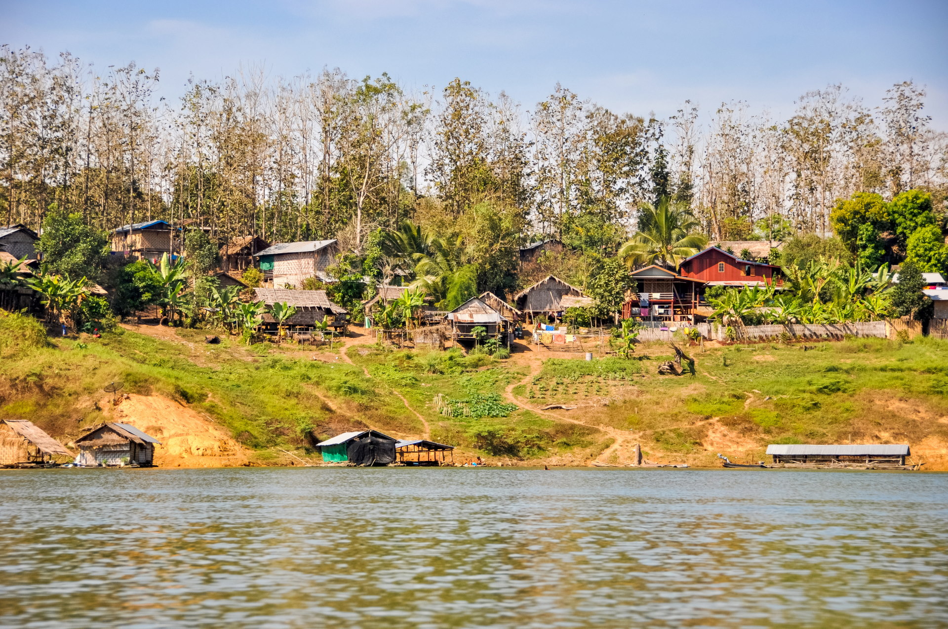
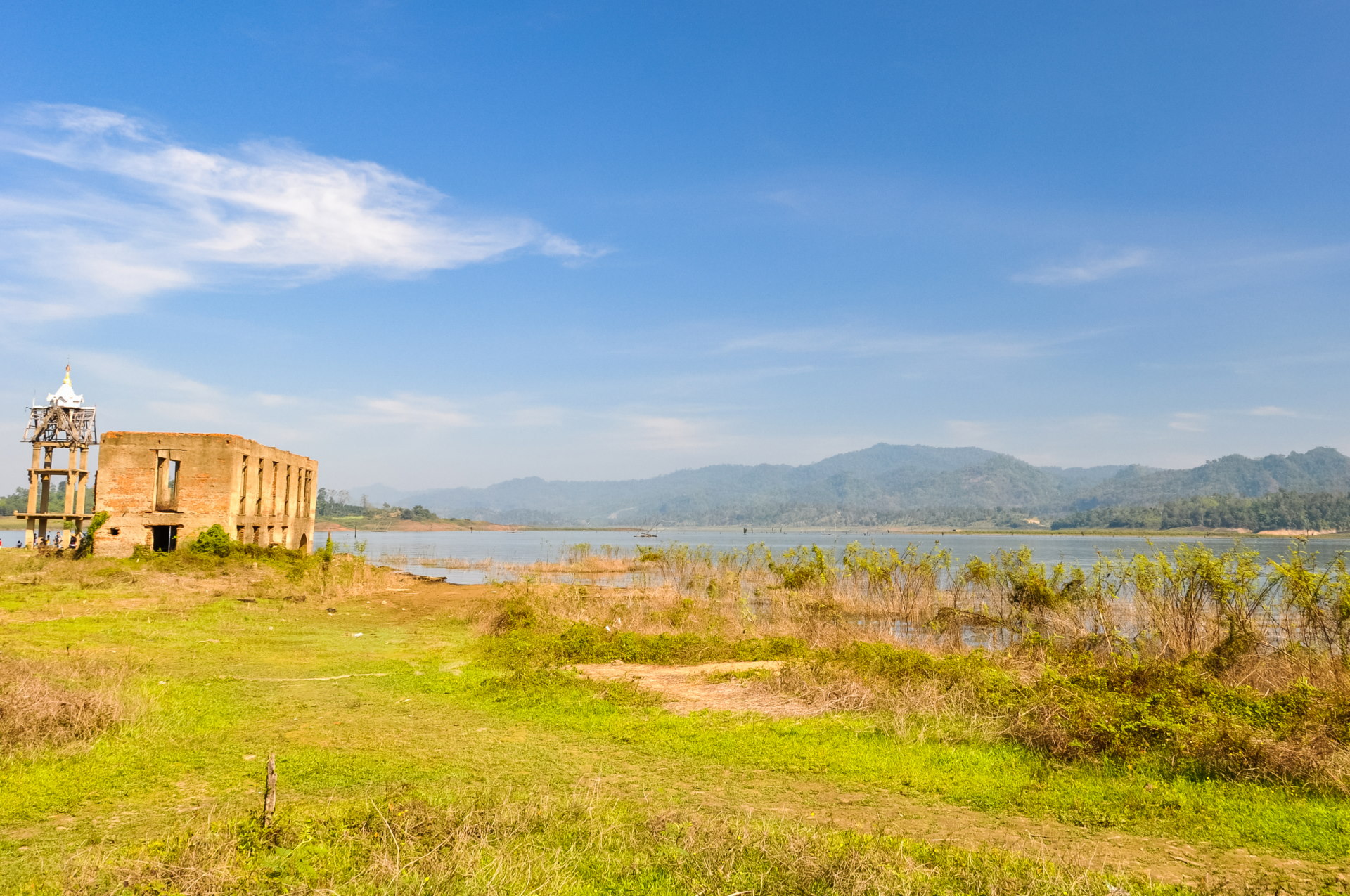
In just a few minutes, the famous temple comes into view. It's all that remains of the ancient city, now relocated to the nearby hills, which has become the Sangkhlaburi we're visiting. Although it's still early in the dry season, the water level is already quite low.
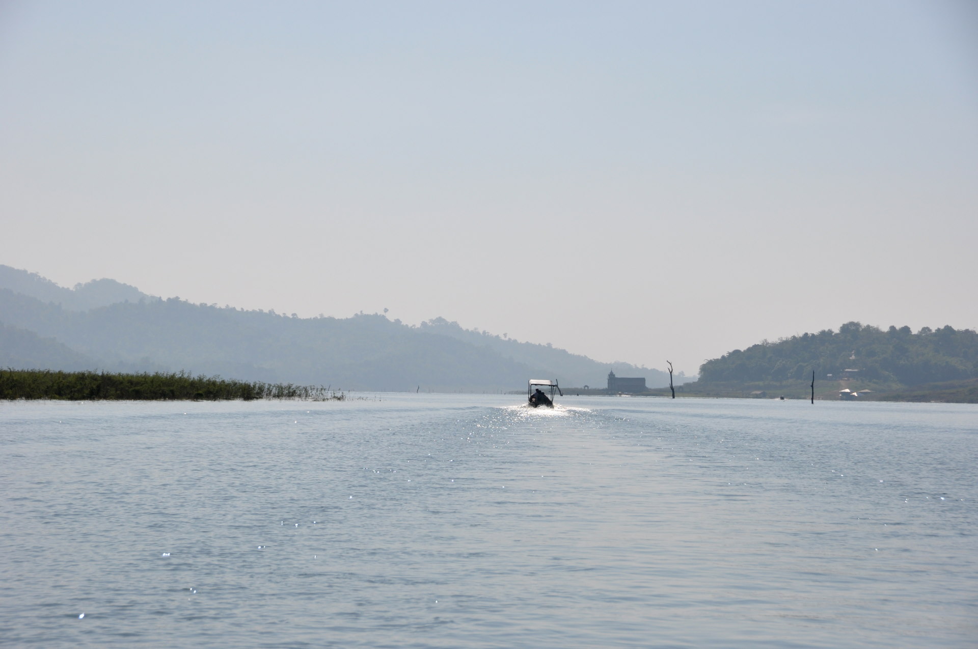
Since I like comparisons, here's the level when it's higher; the result is not the same at all!
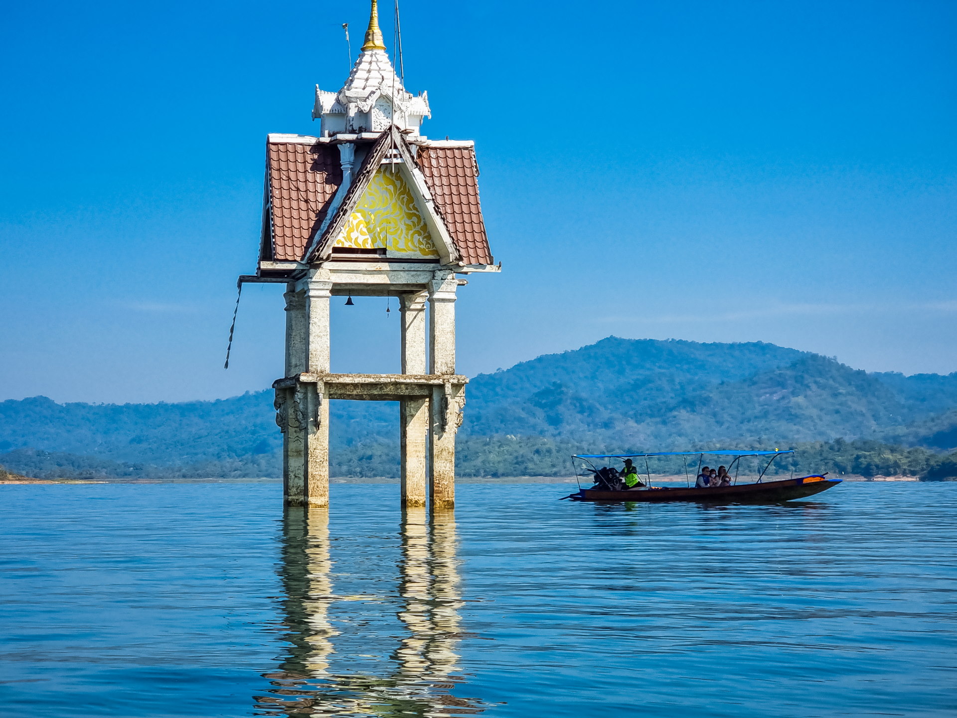
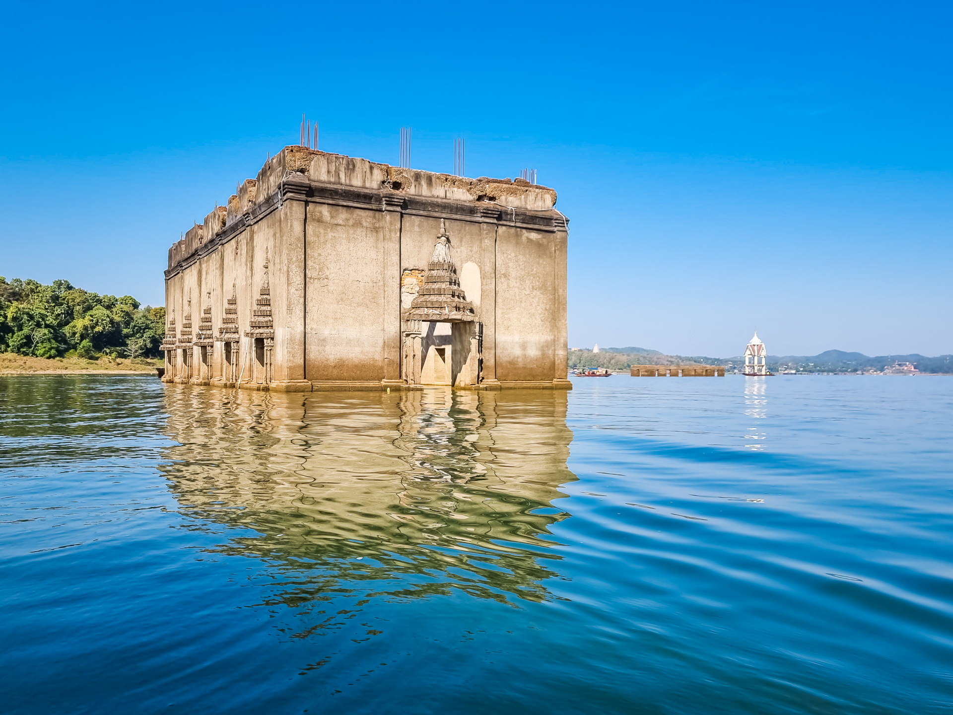
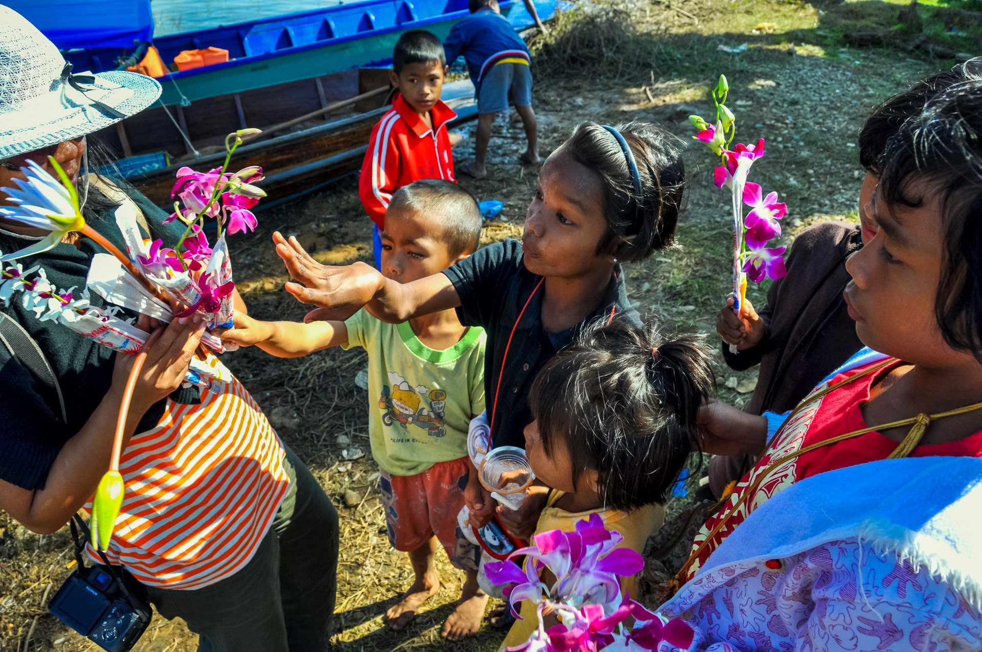
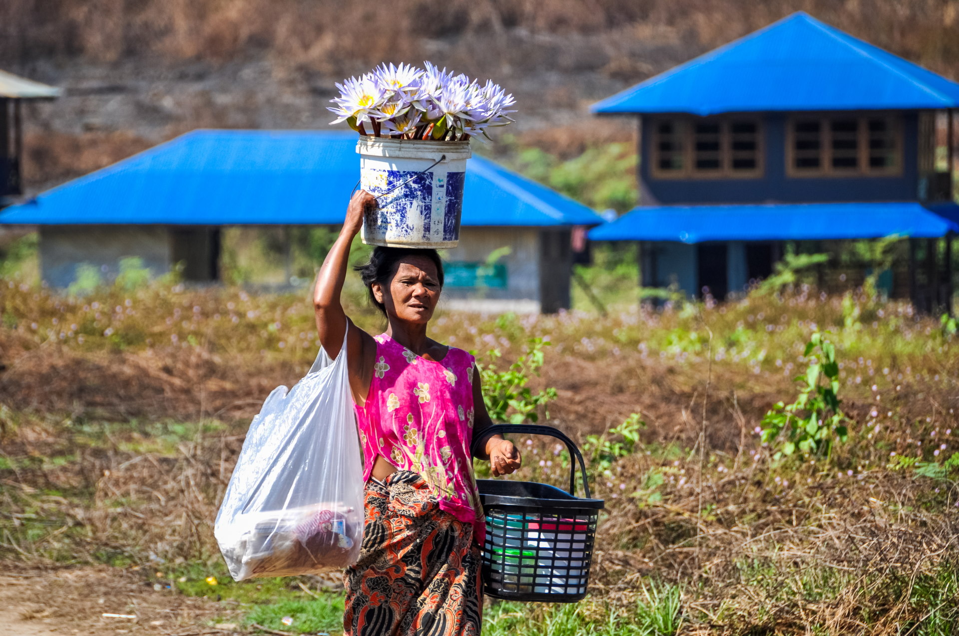
The advantage of a lower level is that you can go inside and walk around. Upon arrival, you're immediately surrounded by young people selling flowers and candles for prayers in the temple. It's pretty much a rite of passage in these kinds of places in Thailand.
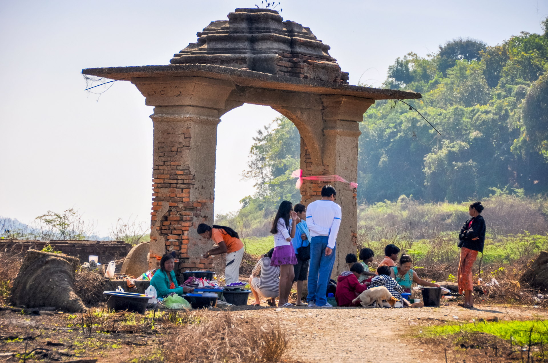
Further on, we see other women around what must have been a gate marking the perimeter of the temple, selling, in addition to flowers and some snacks, livestock to be released into the water to do a good deed, the merits that Thais like to perform when visiting a temple.
Apart from the old bell tower, only two buildings remain standing… ( one of which partially collapsed a few years ago due to changes in water levels. But since it's an attraction, it was patched up with a reconstructed wall. I found it paradoxical to "repair" what is technically a ruin ).
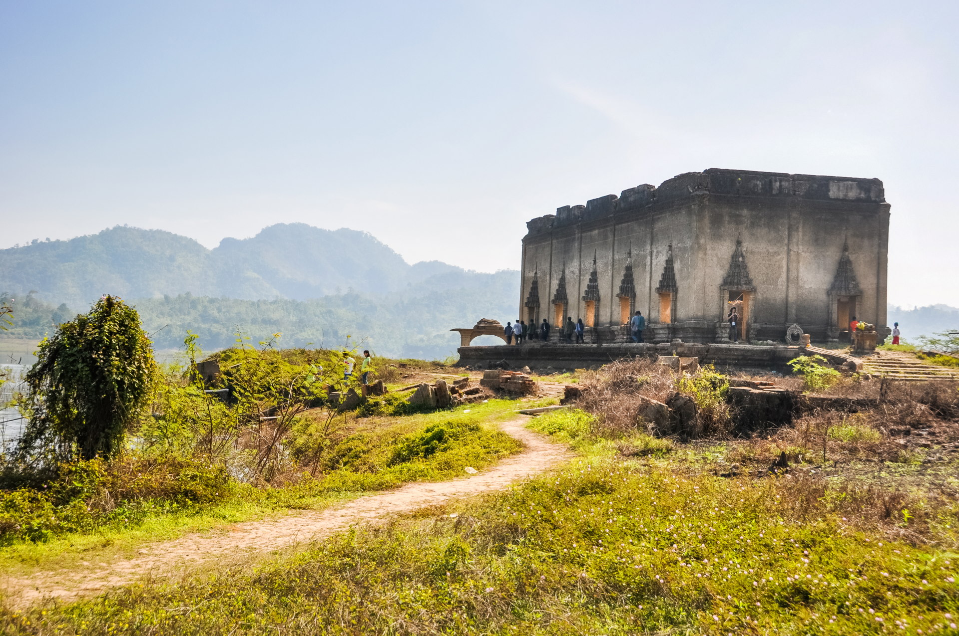
Although nothing remains (or very little, let's say), the temple remains revered and a place of prayer when it is accessible.
I didn't know it yet, but this submerged temple does have a name since it is the old Wat Wang Wiwekaram, which we were going to visit this afternoon (calling it by contrast the "new temple").
Inside, you can see that there was a time when the walls were covered with small alcoves, each containing a small Buddha.
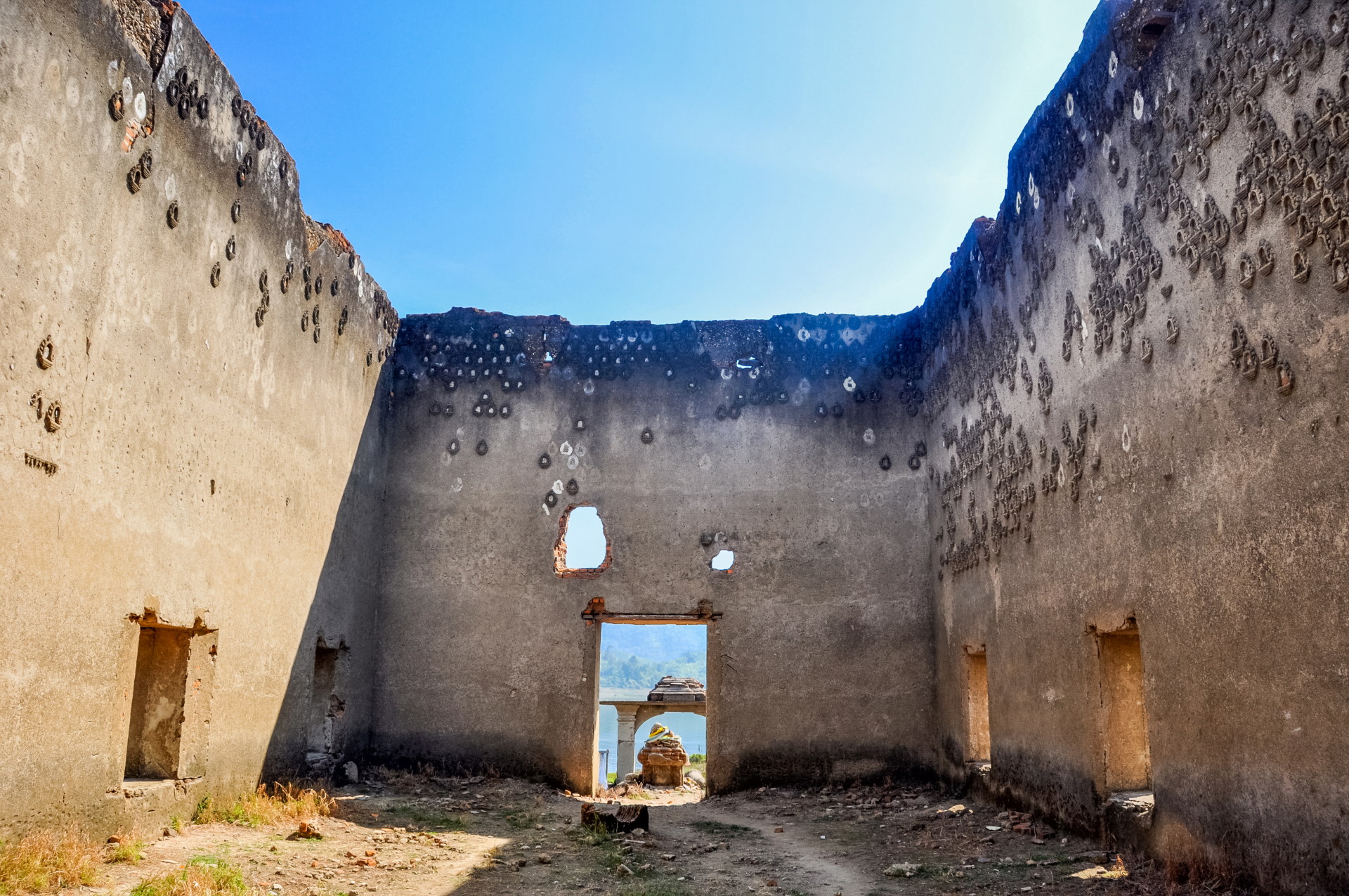
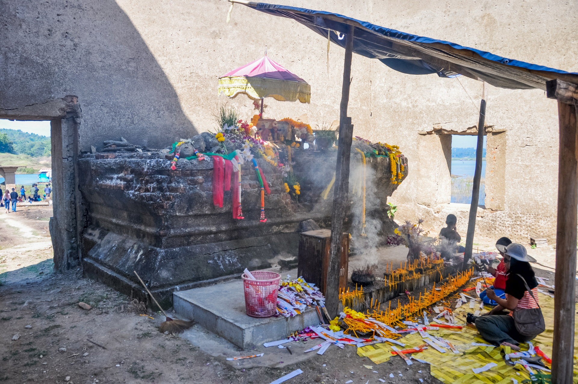
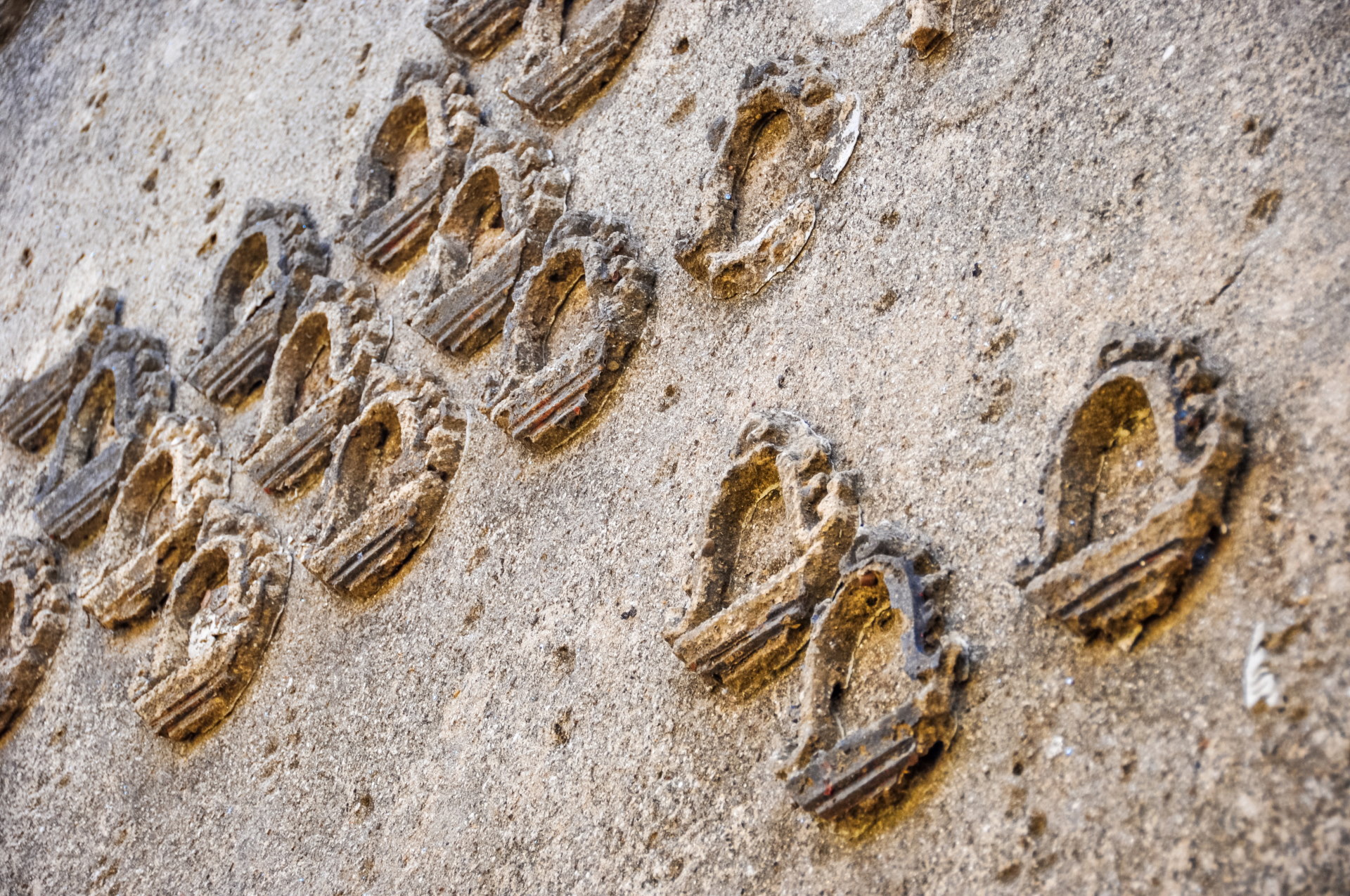
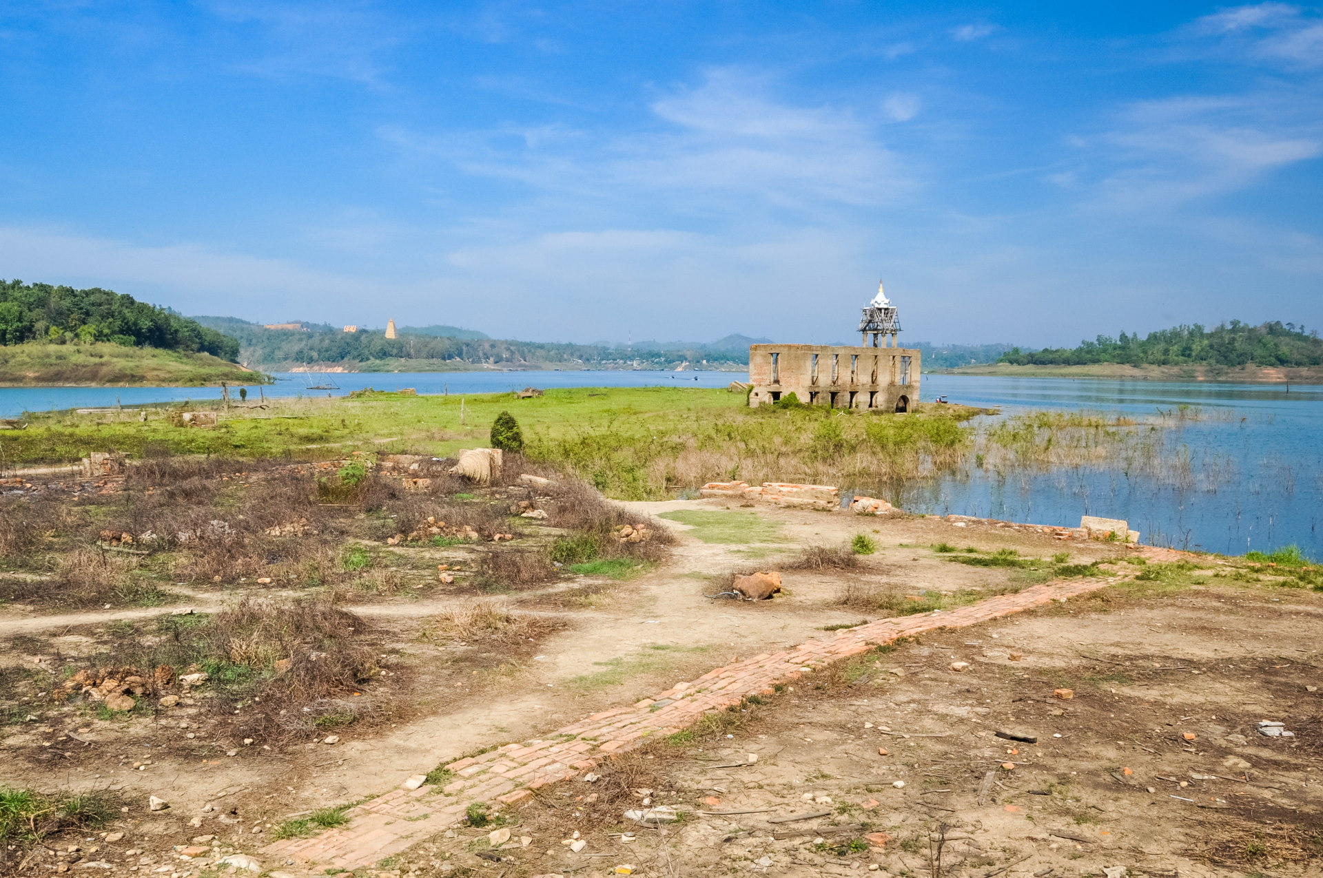
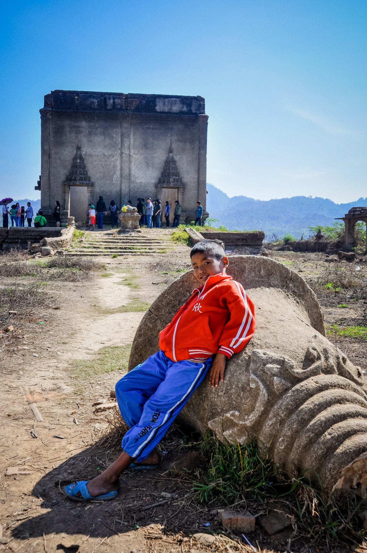
At the time, I don't remember if we had heard about the other ruined temples (if you missed the link at the beginning, I talk about it in my recent article on Sangkhlaburi ) or if it was simply a question of budget (boat trips are generally expensive due to the excessive fuel consumption of these vessels…)
In any case, we only stayed there for about 20 minutes, and the walk there only takes 10 minutes. On the way back, we went under the bridge to take some photos from that different viewpoint, but all in all, this little walk took us less than an hour.
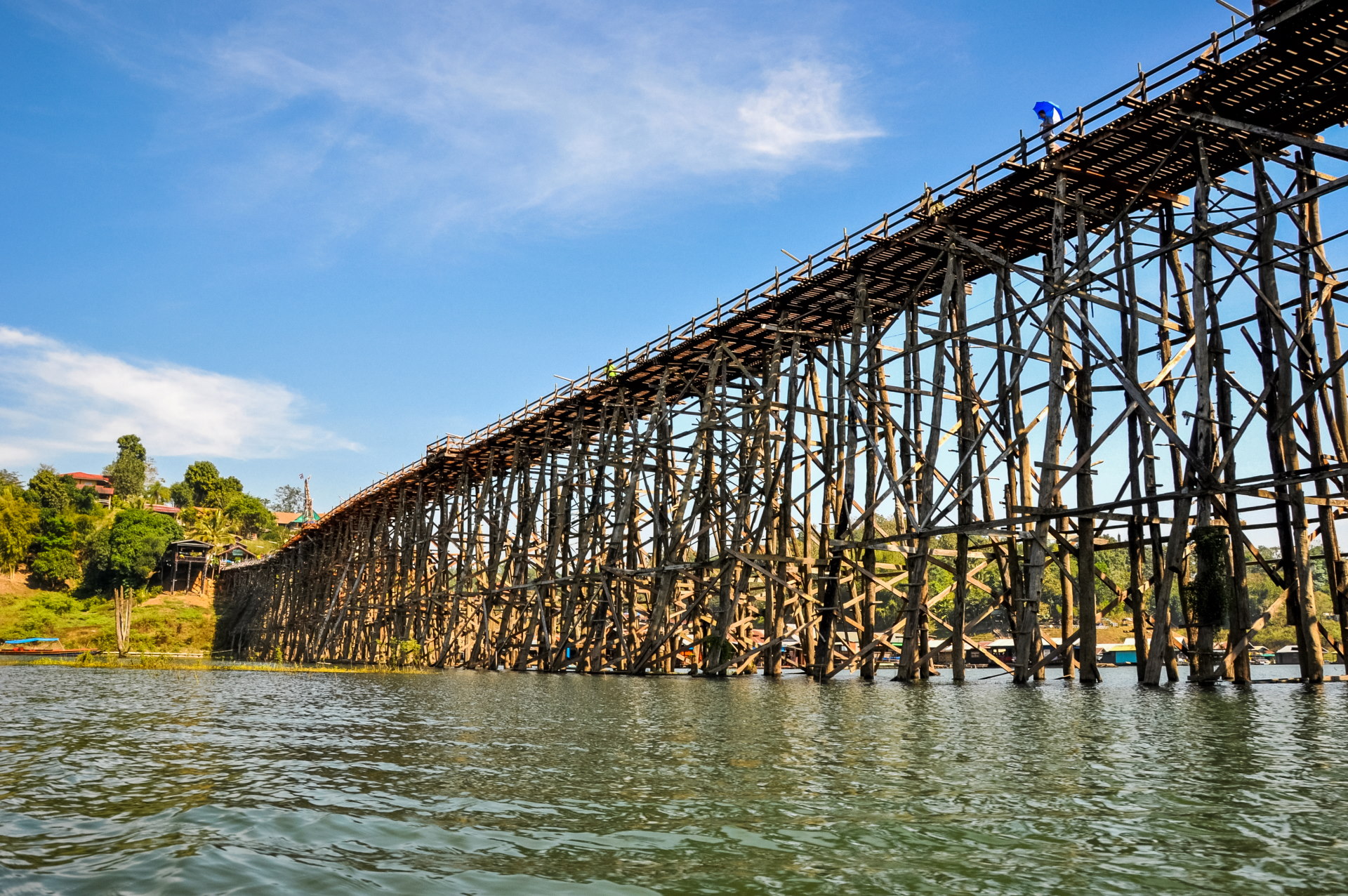
In my original story, I tended to just put a succession of photos with some explanatory captions, but I skipped some organizational steps… Even if it doesn’t bring much to you, reader, I like to be precise and it still gives an idea of the timing in the day.
In this instance, after the walk, we returned to the village to find a small restaurant since we arrived at noon. We found a simple place that offered bowls of noodles, classic, inexpensive, and afterwards we could continue on to the other sights of the day.
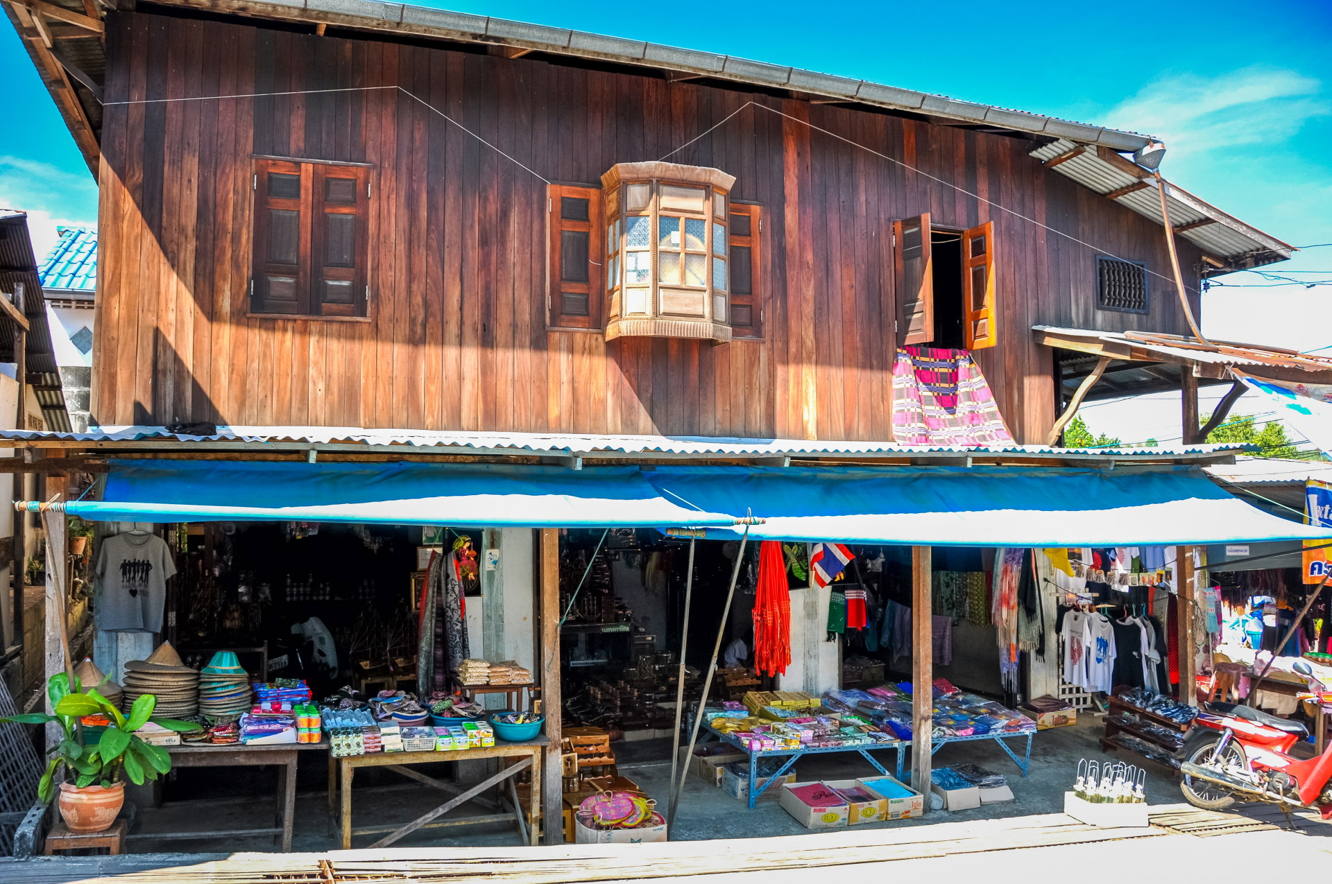
Next station: Wat Wang Wiwekaram
A little further on is a bridge, a modern one, and the river narrows again. From here, there is a superb panoramic view over the entire valley.
This is the Songkalia Bridge, as indicated on Google Maps, named after the river, spelled Song Karia.
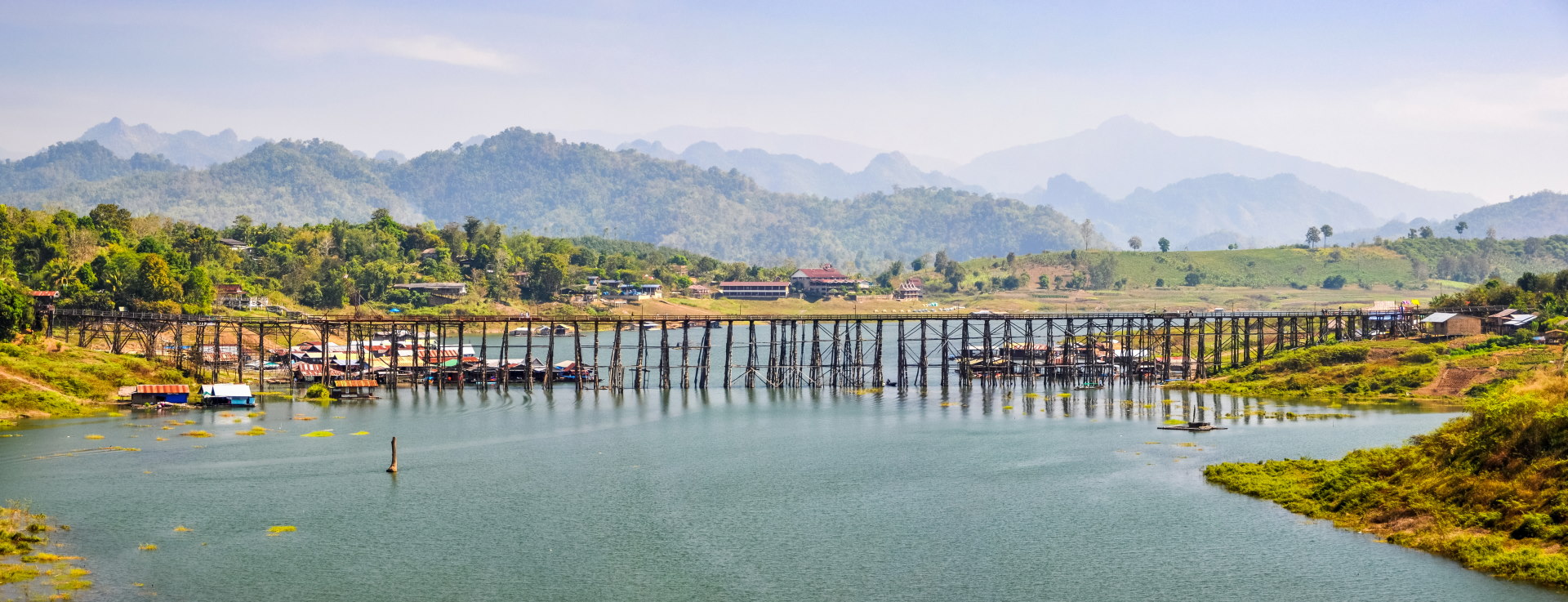
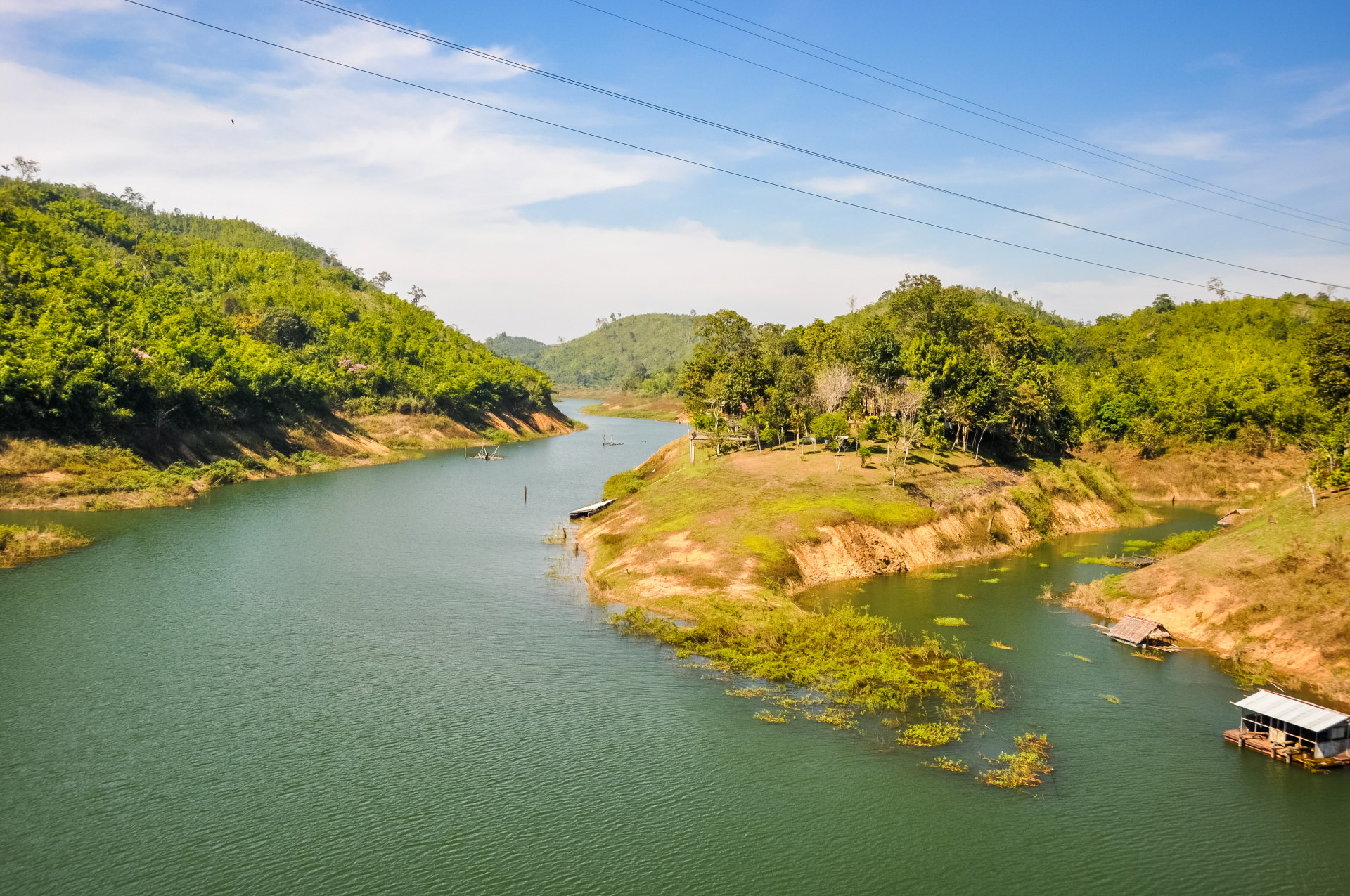
We will still take the time to visit the "new temple" whose chedi we could see from the river.
Yes, that's what I was saying earlier, what I called "new temple" is Wat Wang Wiwekaram, which was rebuilt just outside the village of Wangka, when the dam was put in place and flooded the old site, which we had just seen on the lake.
The temple was undergoing extensive renovations at the time, surrounded by bamboo scaffolding. Even though it was only 20 years old, the building was already quite "worn out".
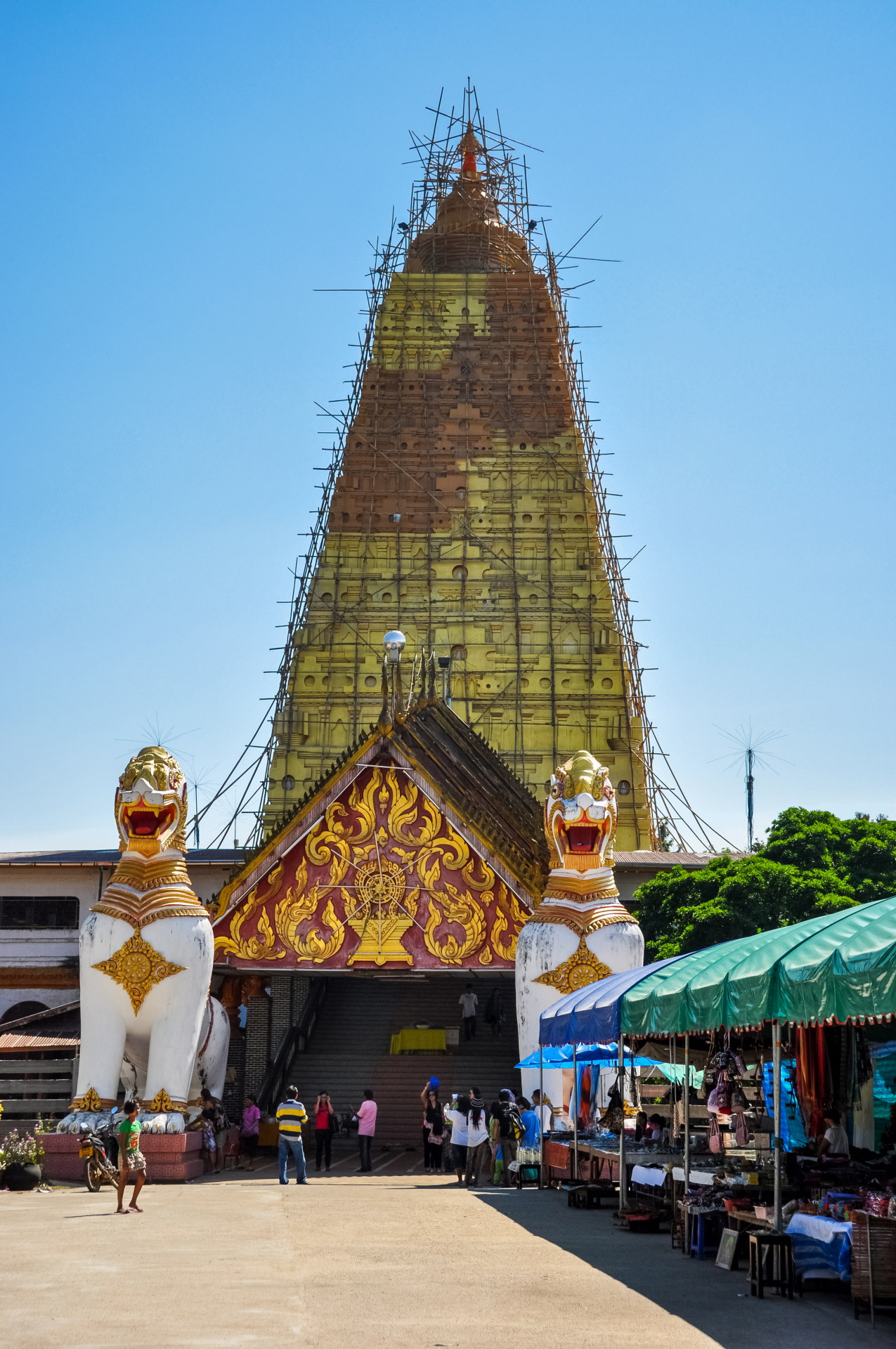
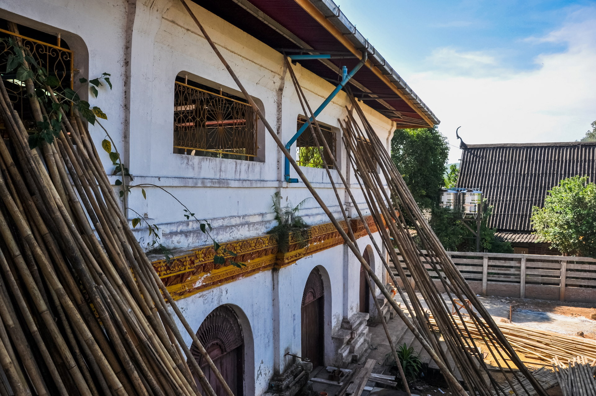
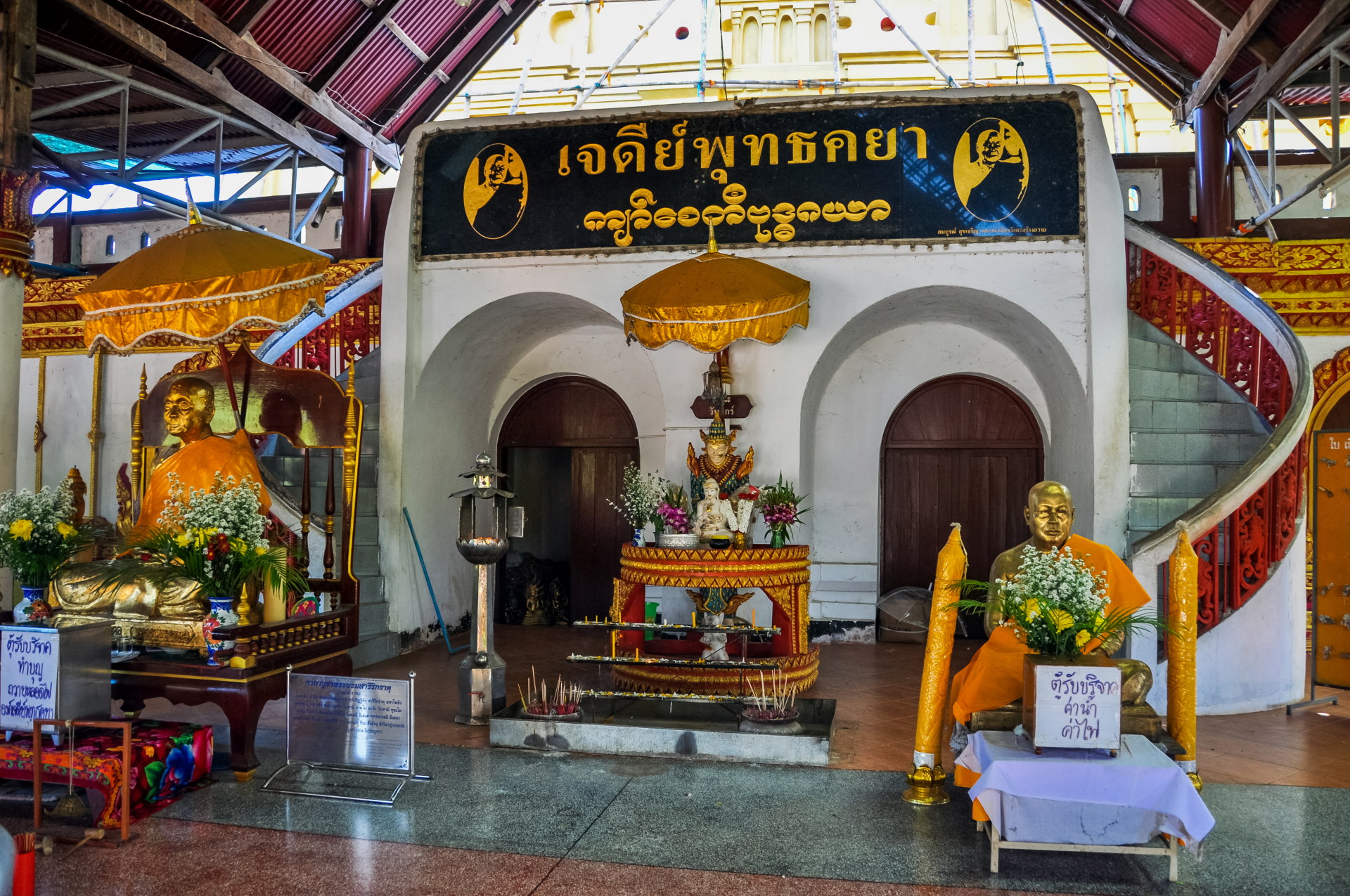
A little further on (barely 1 km) there is another temple, still in the Burmese style.
So the "always" here refers to the chedi, which we had just seen and which I considered to be also in the Burmese style. Except that this is not entirely accurate, because the Phutta Khaya Chedi, while certainly having typical Burmese characteristics, namely the two guardian lions and the staircase topped with a roof to access the intermediate terrace, on the other hand, the pagoda itself adopts the style of the Mahabodhi temple, located in Bodhgaya in India (where the Buddha attained Enlightenment).
The other mistake is that it's the same temple… so it's still Wat Wang Wiwekaram. I mistook them for two different temples because, after all, it does happen that temples are so close but different in Thailand.
But not here, we were arriving in the main part of the temple, while the chedi is simply built separately, I think originally, to have this privileged location on the edge of the lake (the view being only partial, because of the vegetation that has grown).
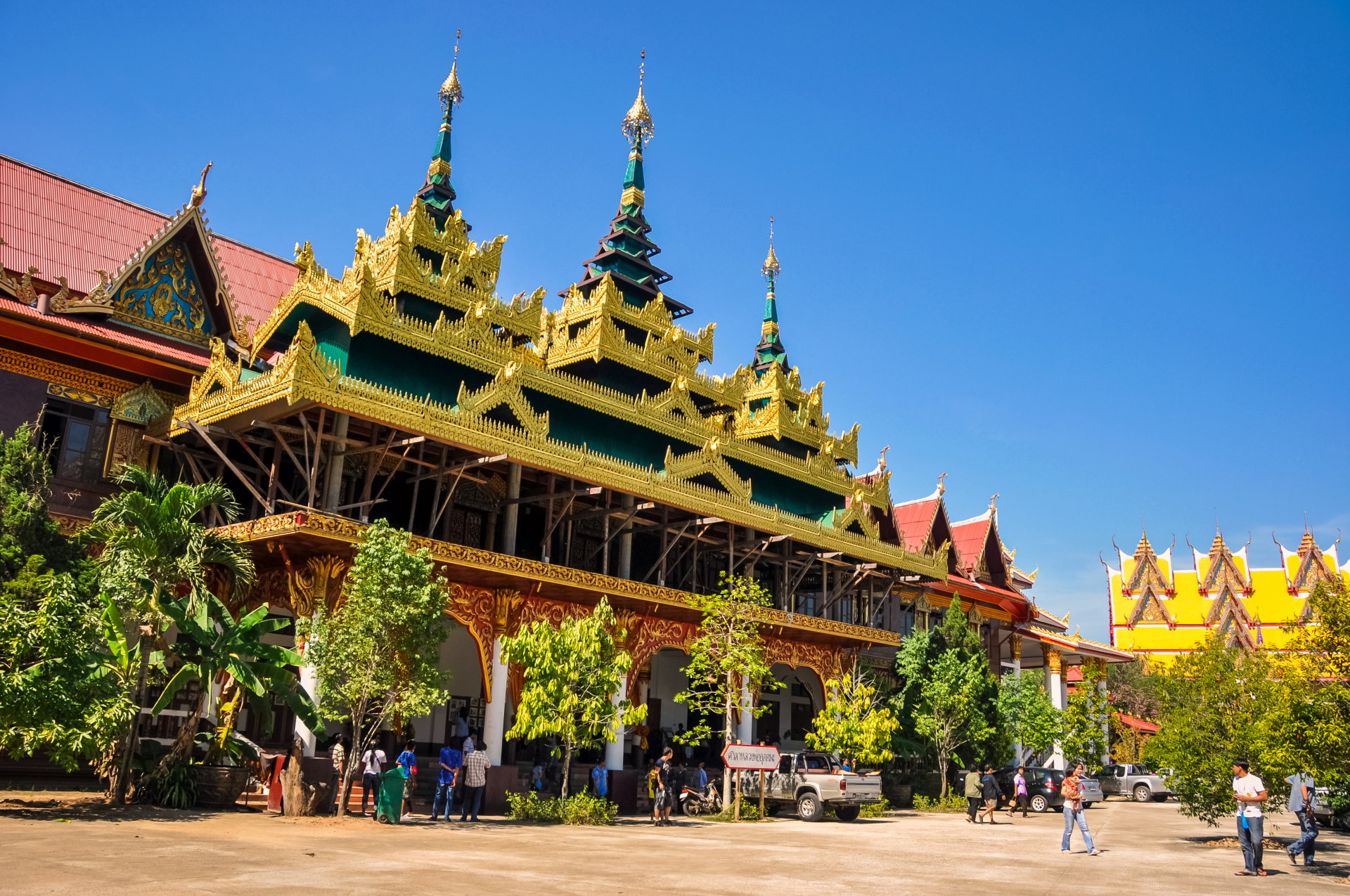
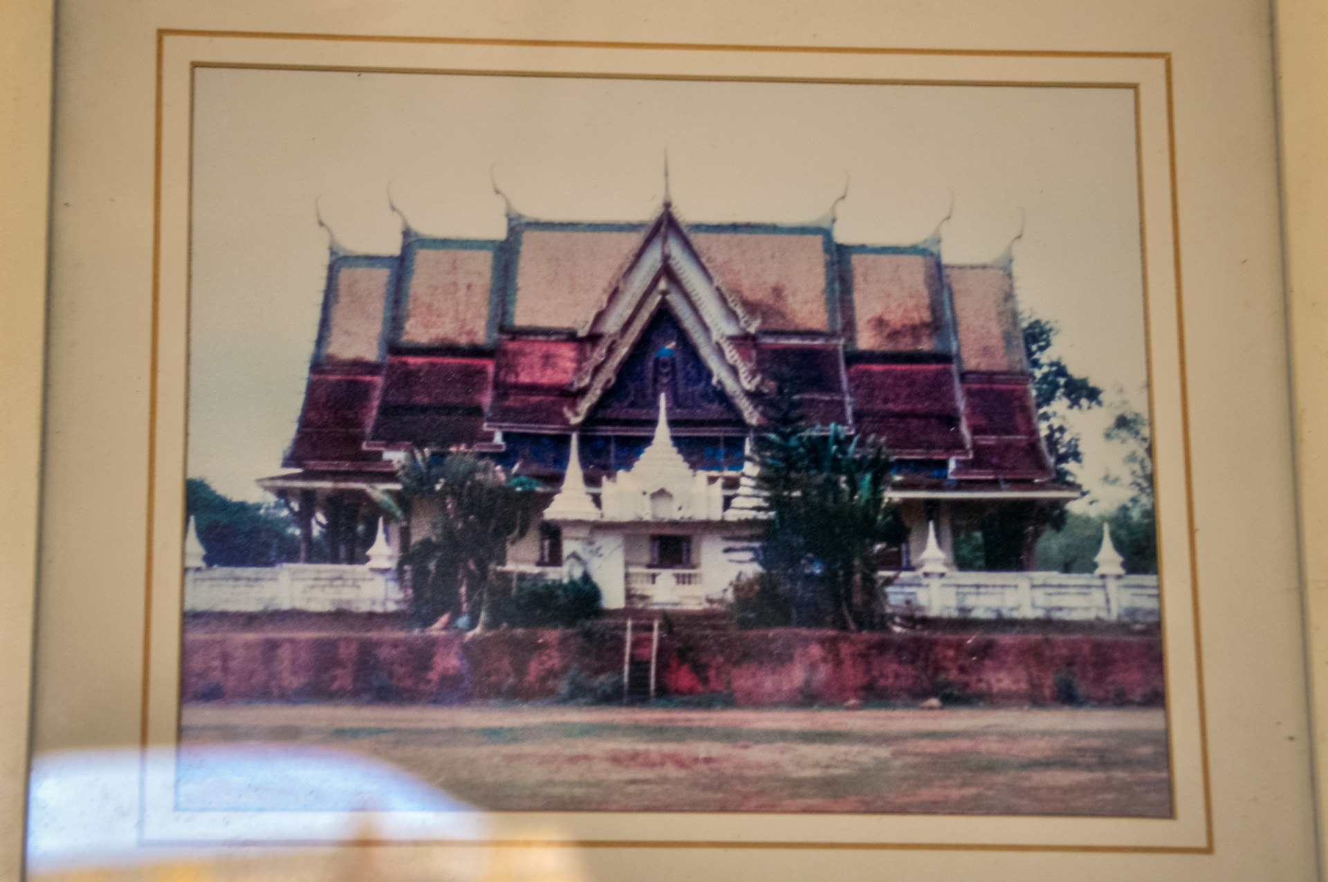
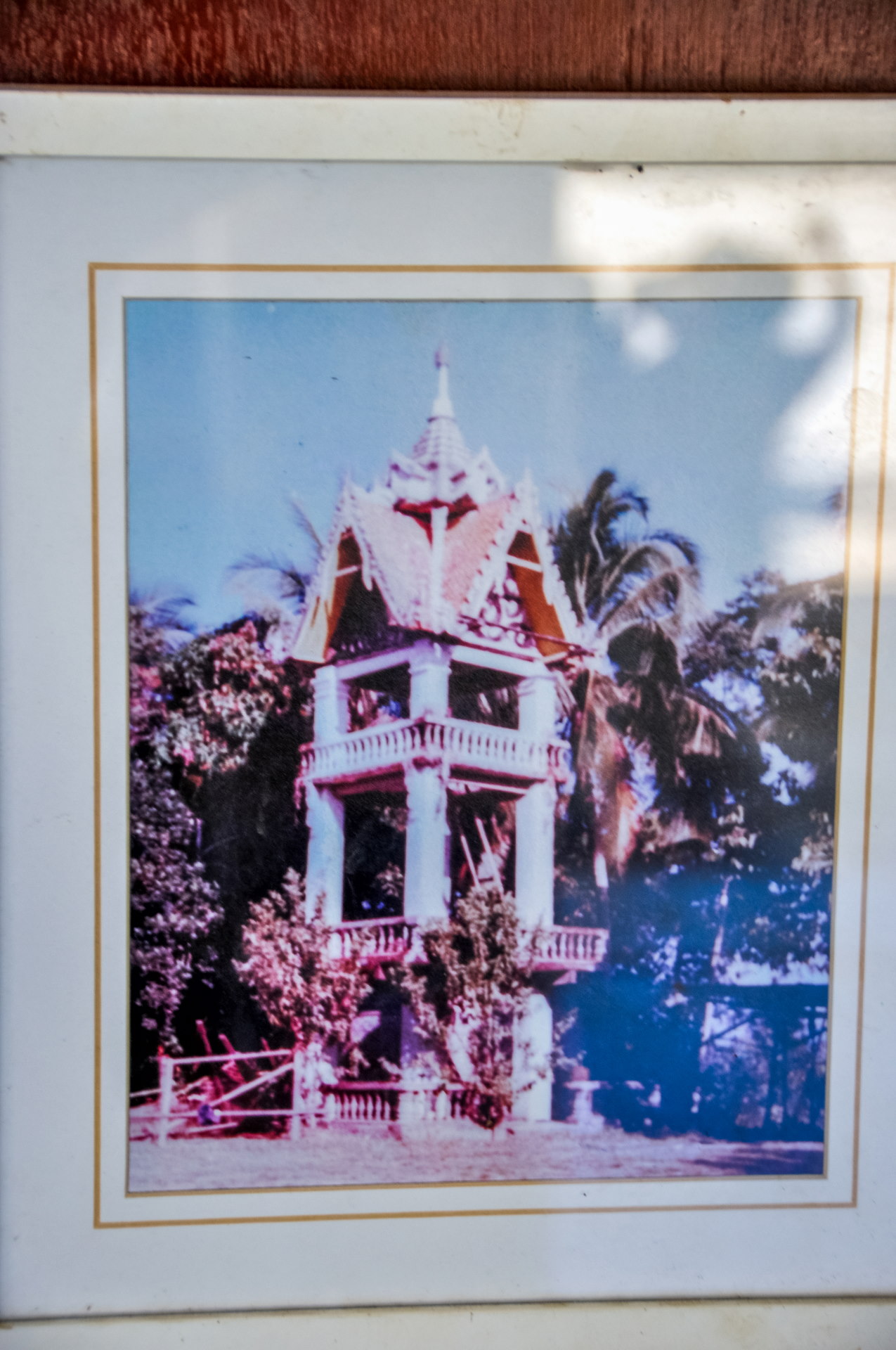
Inside, you can see photos of the original temple, which we had just visited earlier that afternoon.
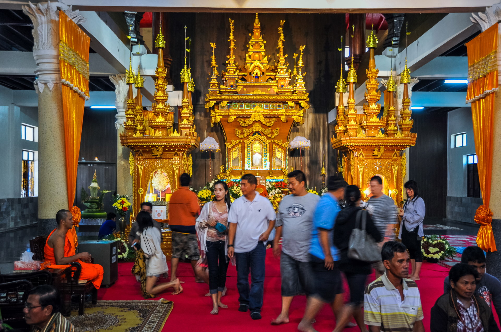
In front of an altar at the back, one cannot miss the remarkably lifelike wax statue of a well-known and important monk from the region. Just behind it, encased in a magnificent display of wood and fine gold, lies his body, naturally mummified and astonishingly well-preserved. Buddhist belief explains his condition by the fact that he attained nirvana.
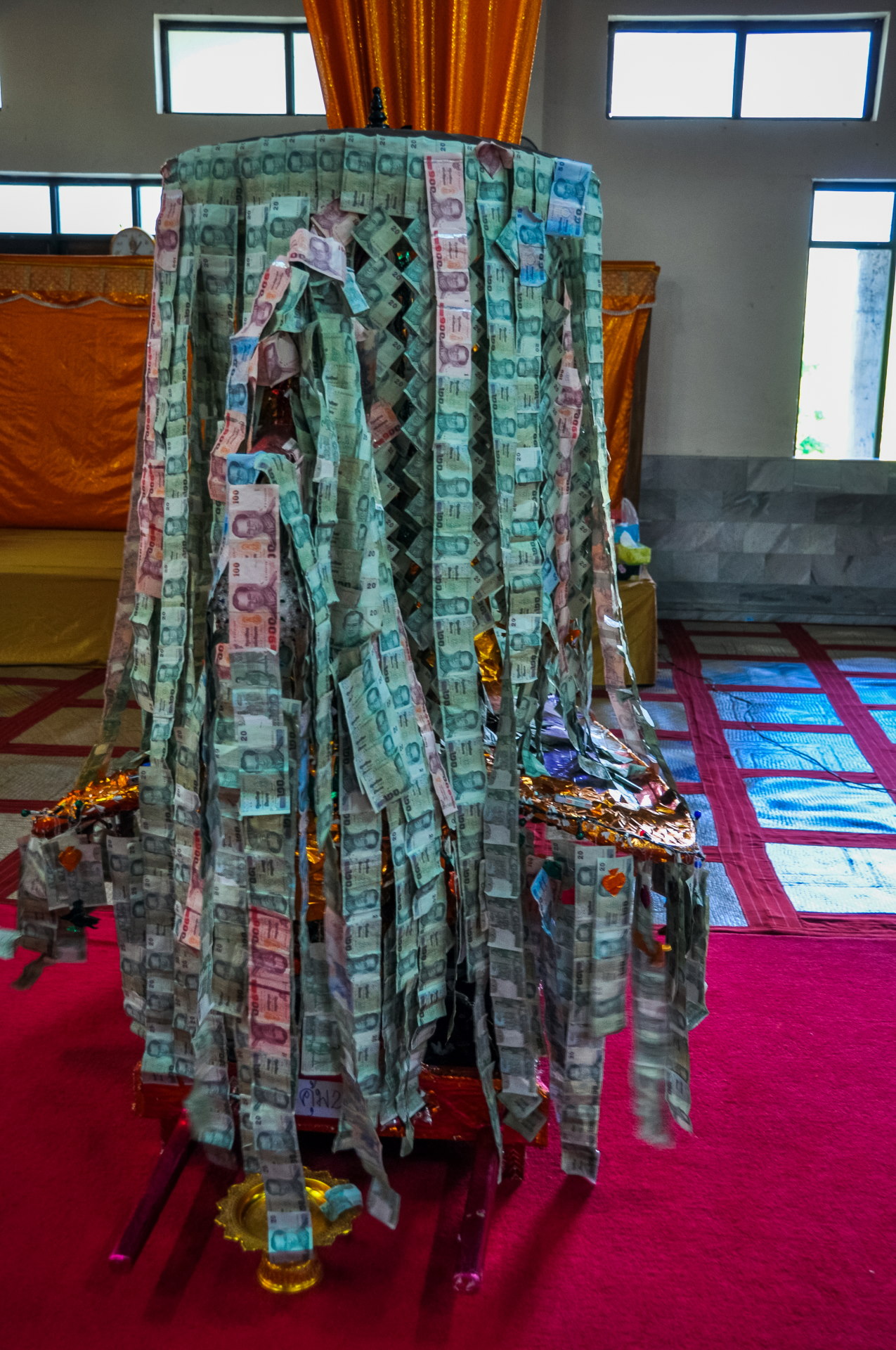
Passing through the Three Pagodas Pass
Having done the "tour" of Sangkhlaburi itself, and while desperately searching for a petrol station (there aren't any in Sangkhlaburi itself), we decided to go for a little trip to the border with Myanmar (or Burma).
Since it's a small town that you imagine to be more lively, as is often the case in border areas (even if it's bigger on the Burmese side), I thought we'd have a better chance of finding a station there.
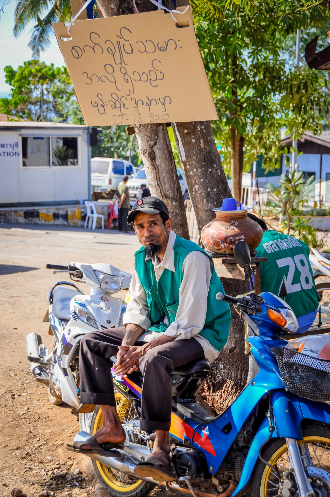
It is a border post known as the "Three Pagodas Pass", which, due to its geographical location, has had strategic and historical importance.
In the end, there was a gas station only 5 km from Sangkhlaburi... shortly after a crossroads between the main road we had arrived on and the one leading to the Three Pagodas Pass, so basically, it was the right move 😉
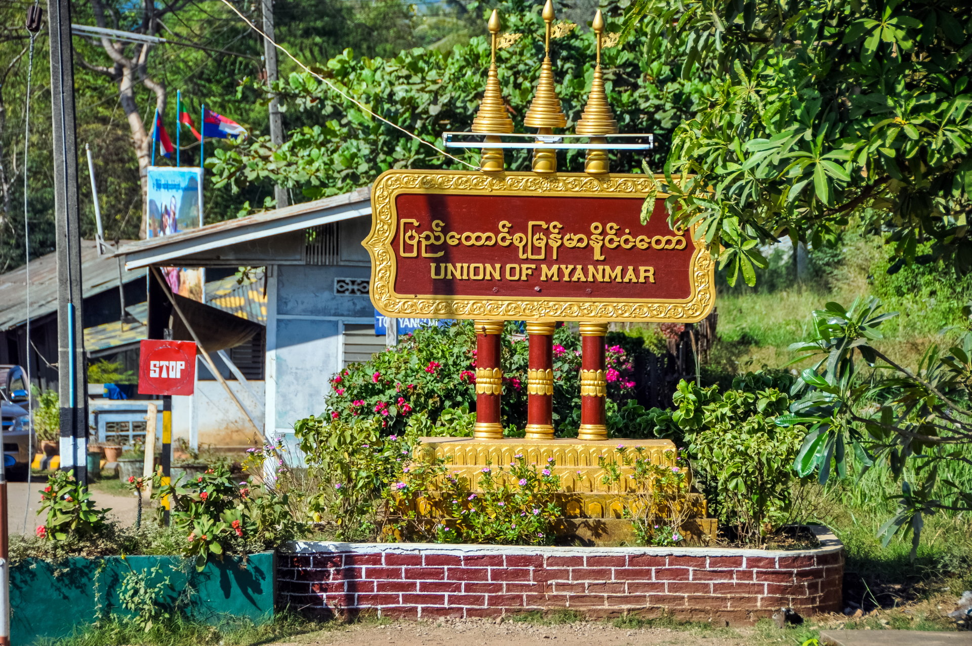
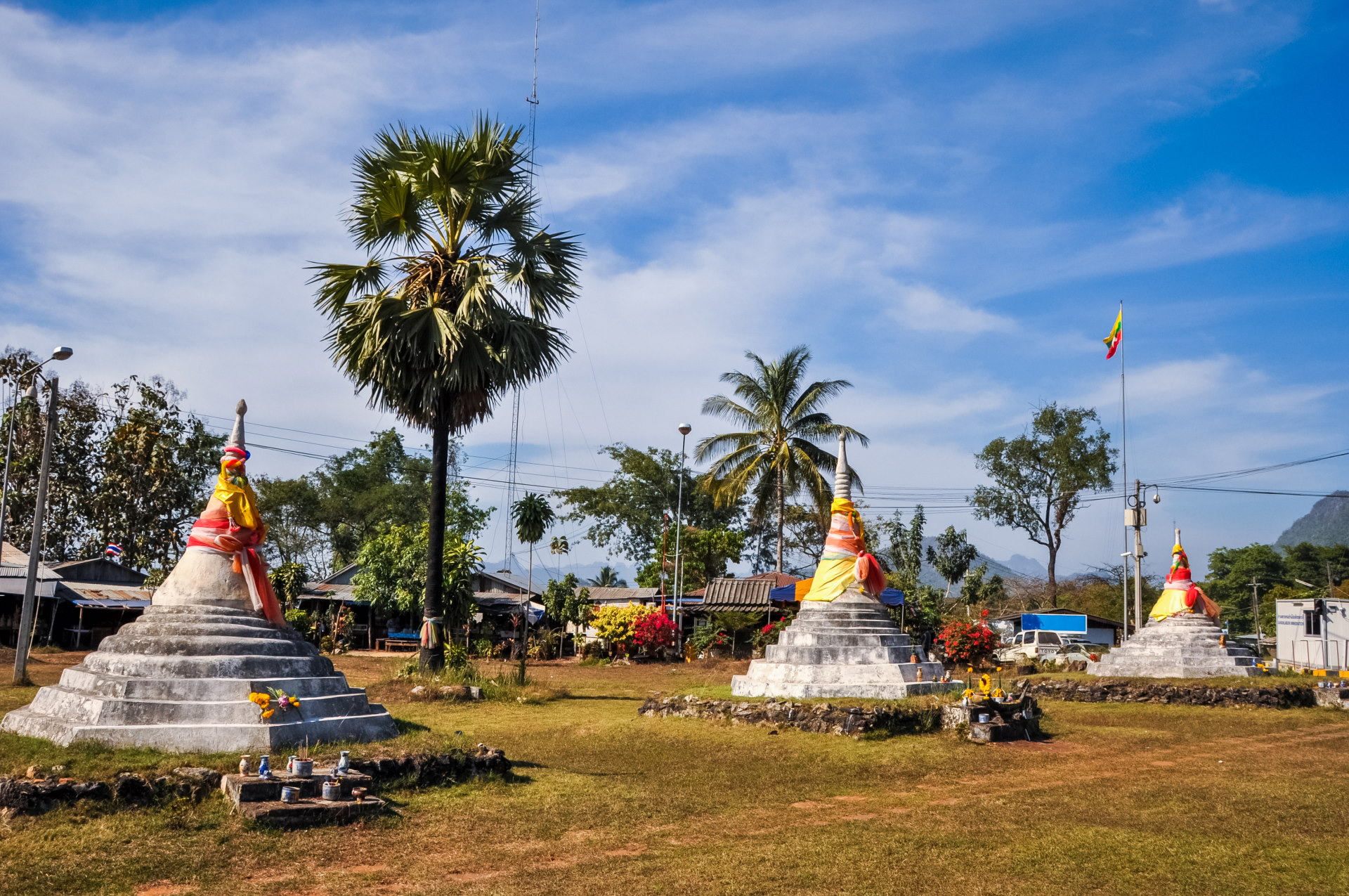
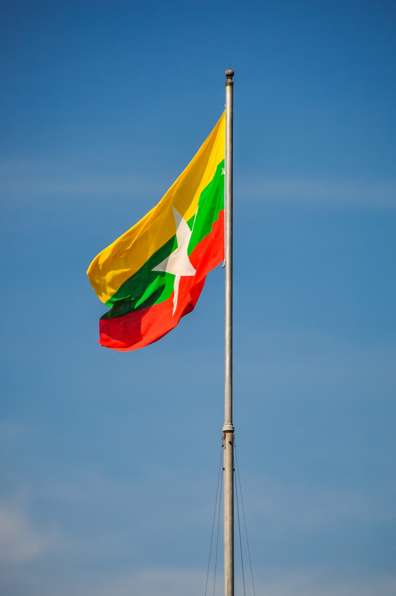
For today's information, Burma had just changed its flag in October 2010, barely two months before our visit. Since we had been to Yangon just two years earlier, seeing a different flag really threw me for a loop!
The current flag has confused more than one person because of its very "African" colours (the choice was supposedly made by astrologers...), the previous one having simply been burned... This kind of choice is also attributed to the relocation of the capital to Naypyidaw in 2005.
Back to town and New Year's Eve
It's only 25 km from the Three Pagodas Pass to Sangkhlaburi, so we were back in town after a short half-hour drive. All that was left was for us to spend the evening, our last of 3.
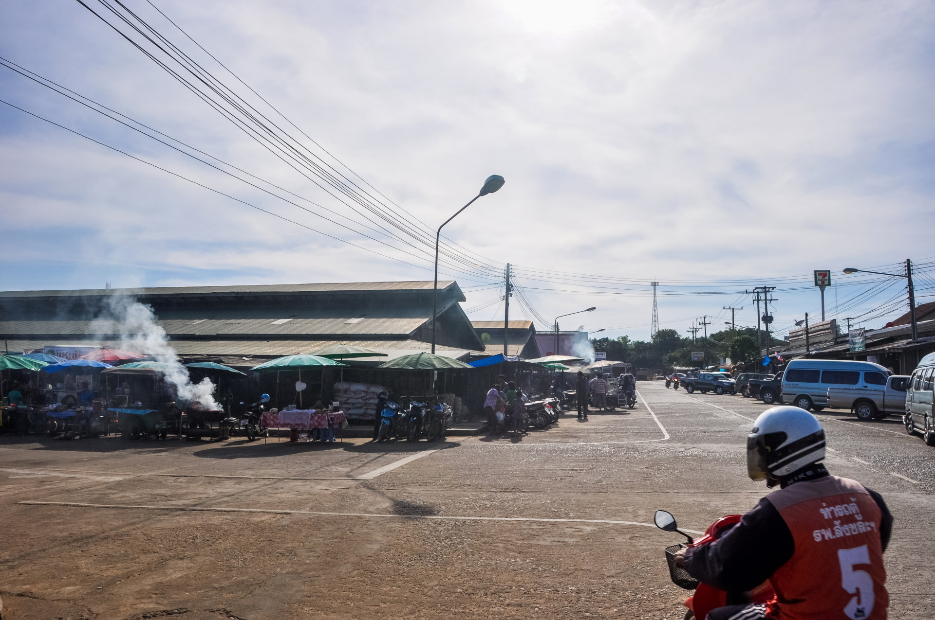
And there, originally, I was taking another series of photos, ending the day… Without explanation… But I had missed quite a few things!
When we got back to town, it wasn't even 15:30 PM yet, so there was still a good afternoon and plenty of time before nightfall and the New Year. So what to do? Especially since, at that point, I thought I'd seen "everything" in Sangkhlaburi…
Well, remember, earlier I wrote: "we get into the habit of printing some of them to give to them." So we started by looking for a printing service to actually print some photos and distribute them in the village.
We were lucky, because Sangkhlaburi is quite small, but we found it! Once we had the photos, we went to a 7-Eleven (always handy!) because we were feeling a bit peckish and then headed back to the hotel. And that's how these two photos came about.
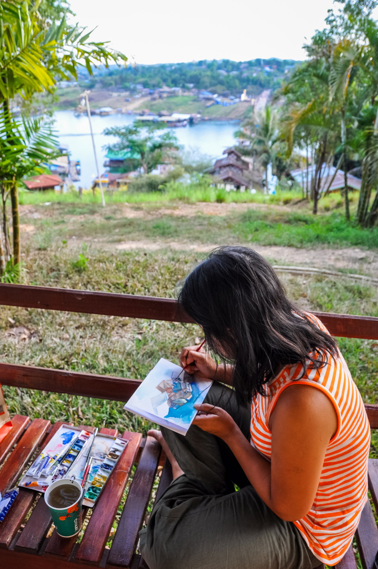
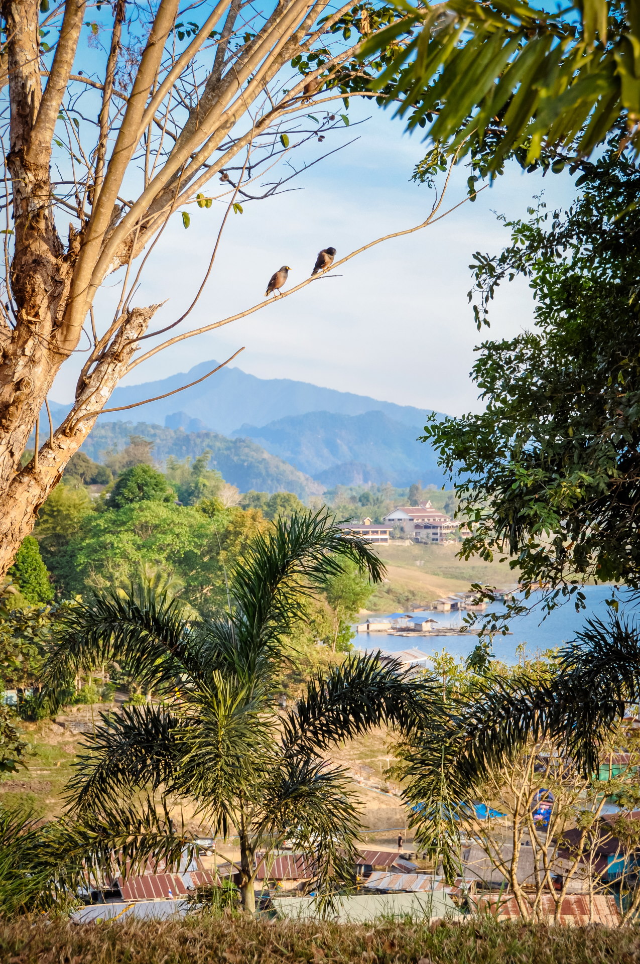
After a relaxing late afternoon, we are now just minutes away from 2011.
And again, I forgot to mention that we did get moving! Well, yes, we had to go and give them the photos.
In addition to returning to the village to do this, I also wanted to get a feel for the atmosphere a few hours before the new year, which resulted in this video (2010 quality!).
At first, I thought I would stay nearby, see the beginning of the party from the famous stage that we could see, but it was barely 18pm, so it was still too quiet and too long.
Jitima wasn't keen either (not a fan of crowds in general), so we finally went back to the hotel and didn't go anywhere else. We didn't really need to anyway since we had a direct view of the bridge, right into the heart of the festivities.
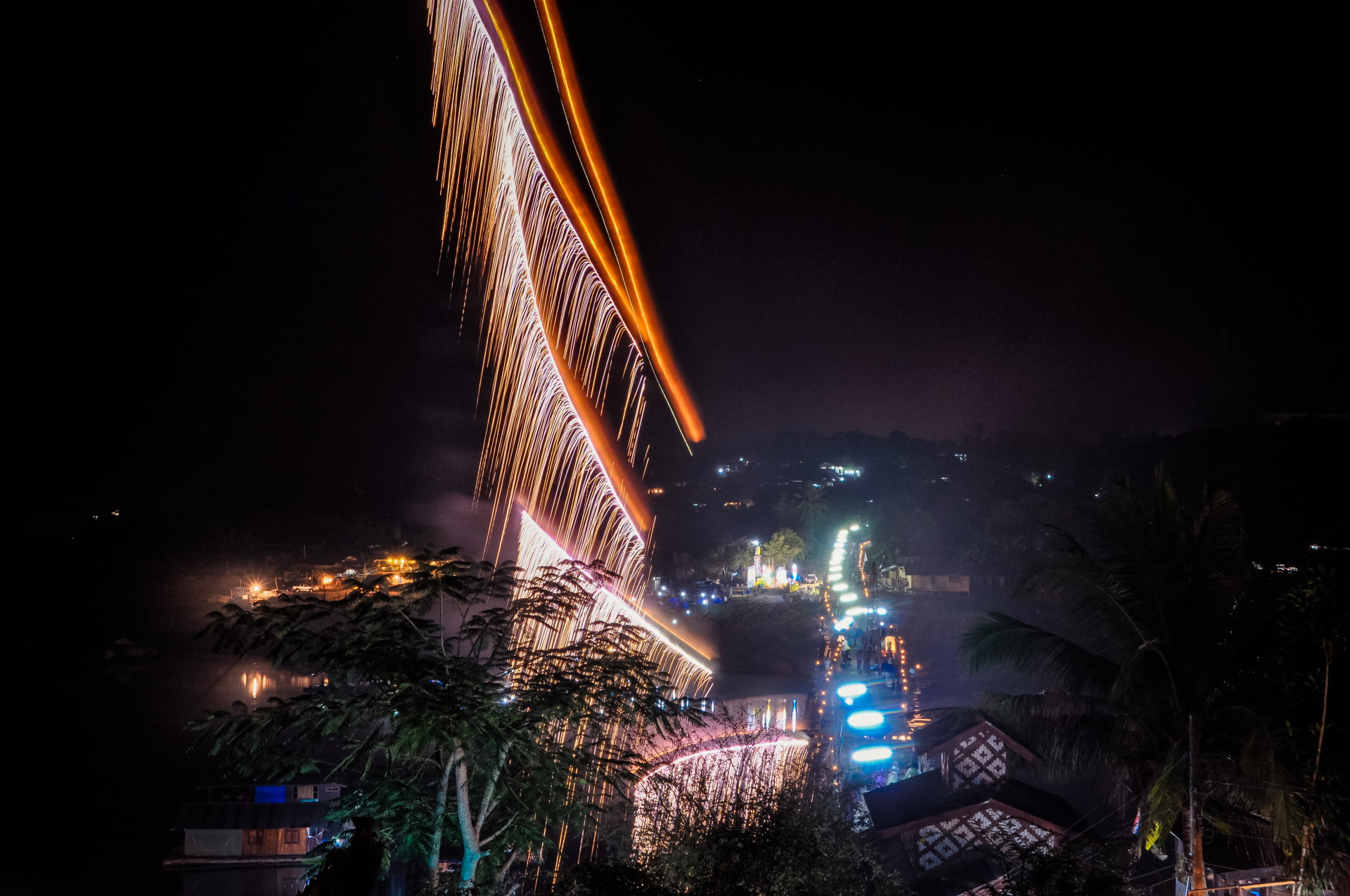
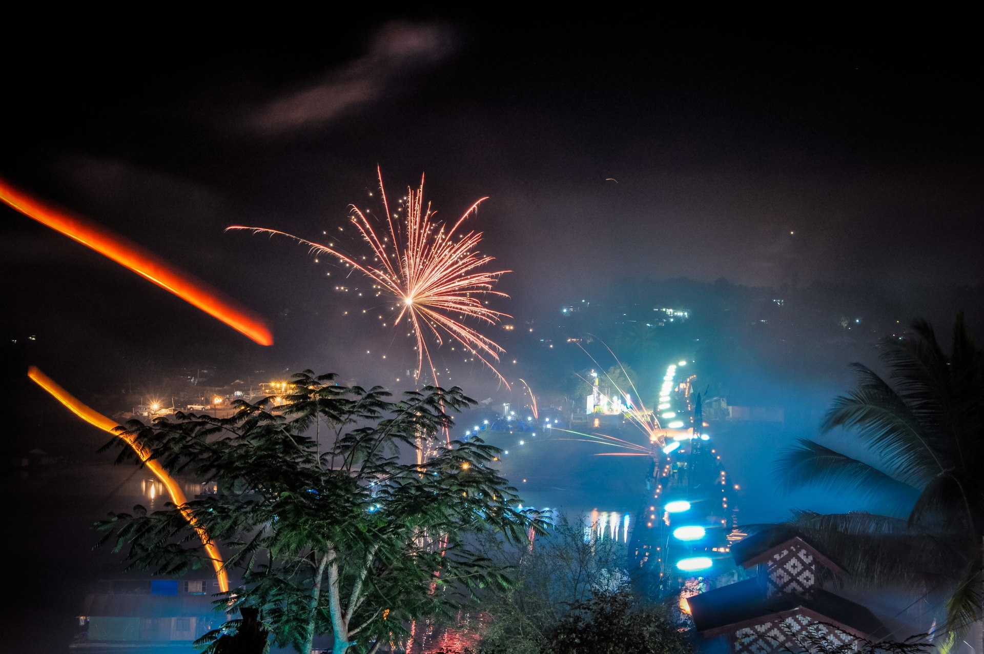
I ended the original article with this: As I write these lines, I can't help but think of Japan, which is going through a terrible event… yes, March 2011…